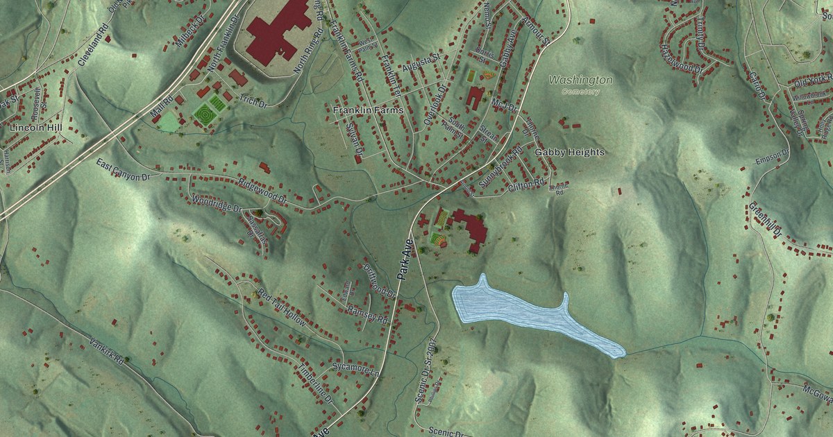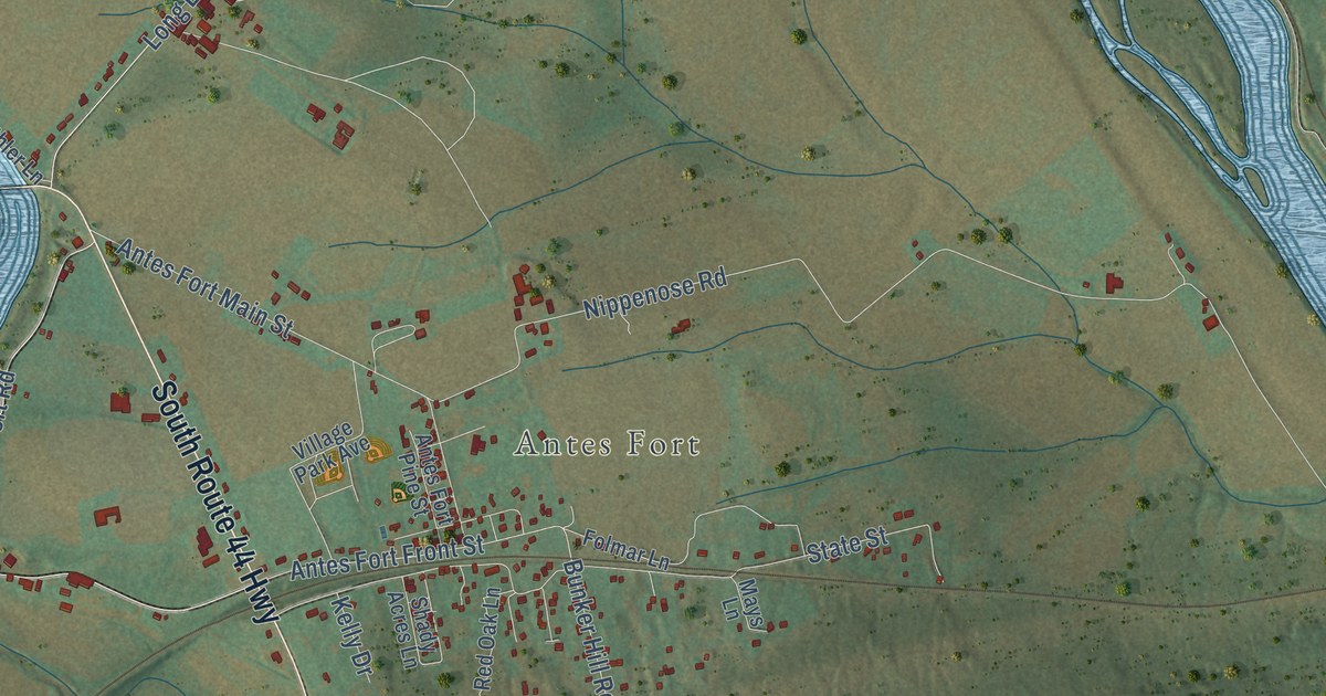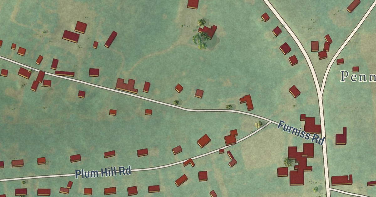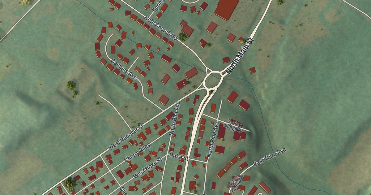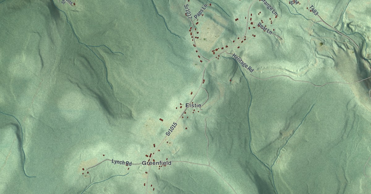
This beautifully detailed map of Gallitzin Township, Pennsylvania was created in 2026 using aerial imagery combined with modern topographical, census, street and landmark data. It’s a one-of-a-kind view of Gallitzin Township that combines accurate data with a vintage aesthetic. The map shows every building in its true location, many of the roads carry their names, and the shaded topographic relief shows the shape of the land.
Explore an aerial view of Gallitzin Township, Pennsylvania
On the map you’ll find Buckhorn, Coupon, Spindley City, Amsbry, Elstie, Greenfield, and Syberton, along with Gallitzin Road, Colonel Drake Highway, Tunnelhill Street, Coupon Gallitzin Road, and more. If you look closely you can even find your house accurately drawn in its correct location. Zoom in on the preview to look for yours.
Did you know this piece of Gallitzin Township, Pennsylvania history?
From the History of Cambria County: "Gallitzin was established June 4, 1866, it having been taken from Allegheny township. It was named for the Parish Father, Demetrius Augustine Gallitzin."
Take a closer look at the Gallitzin Township map
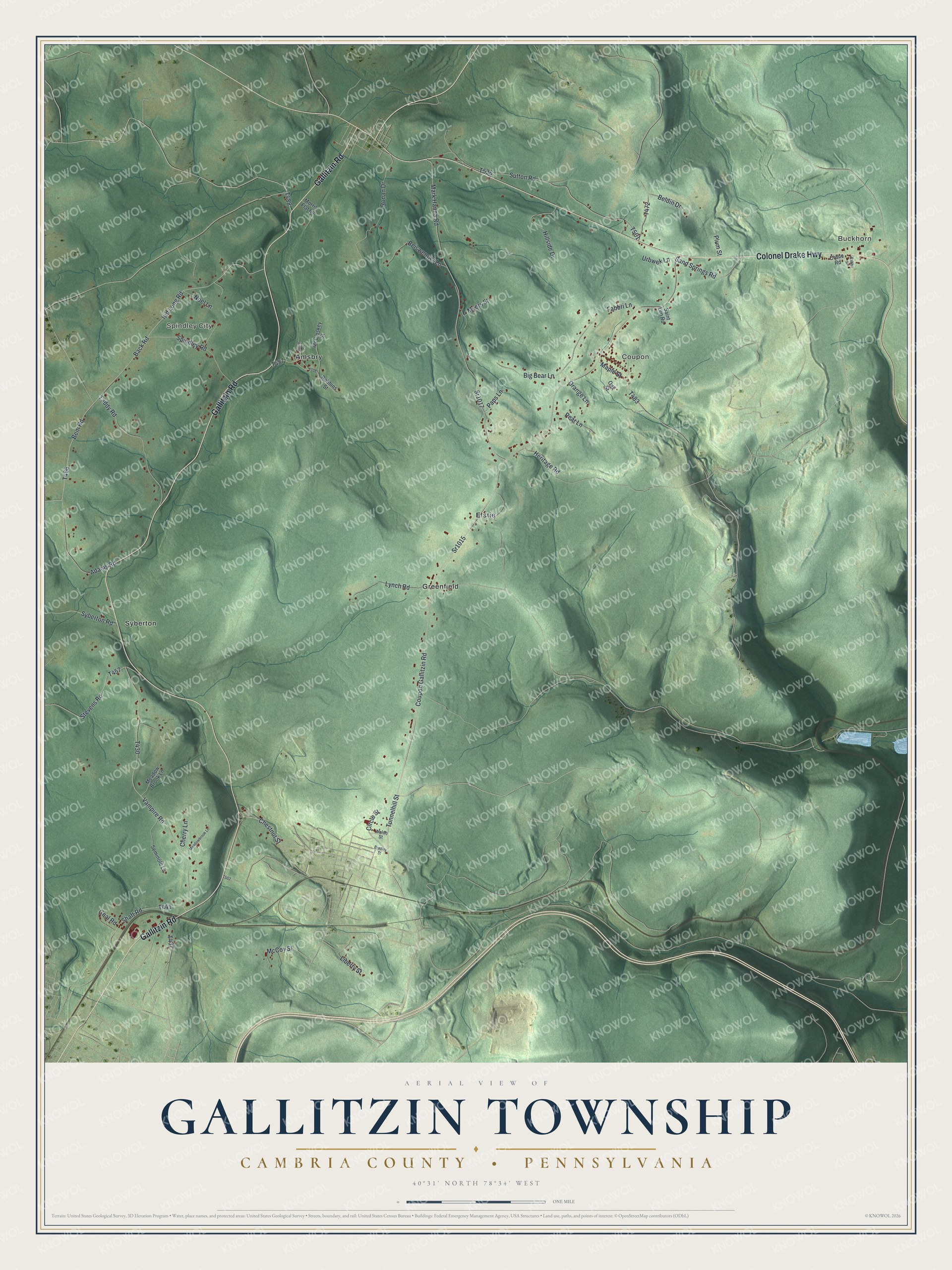
Street and place names on the Gallitzin Township, Pennsylvania map
These names are printed on the map of Gallitzin Township, Pennsylvania.
Places: Buckhorn, Coupon, Spindley City, Syberton, Greenfield, Elstie and Amsbry.
Streets and roads: Gallitzin Road, Colonel Drake Highway, Tunnelhill Street, Coupon Gallitzin Road, Sr1015, Bem Road, Back Road, Sutton Road, Mark Hanna Road, Sr1017, Vampire Road, Kid Long Road.
More street names, A to Z
Adams Road, Beiswenger Lane, Beldin Drive, Big Bear Lane, Bradley Street, Cherry Lane, Chestnut Street, Circle Street, Coal Road, Crane Road, Fabbri Lane, Heritage Road, Hillside Drive, Liberty Street, Lynch Road, Maple Street, McCloskey Street, McCoy Street, Meadow Brook Lane, Meadowbrook Lane, Morris Flat Lane, Myers Street, Noel Lane, Oak Street, Orange Lane, Paps Lane, Pear Lane, Plum Street, Rabbit Street, Ratch Road, Robbins Street, Ronan Drive, Saint Leo Road, Sand Springs Road, Seminole Lane, Shaft Road, Spindley Road, Stevens Road, Syberton Road, Taddy Road, Urbwek Lane, Waldo Street.
See the Gallitzin Township, Pennsylvania map on a wall
The Gallitzin Township, Cambria County map as an 18 x 24 inch print in a black frame.

This beautifully detailed map of Gallitzin, Cambria County makes an attractive addition to your office, library, or den, and it can even be used to teach children the geography and history of the area. It also makes a great gift for someone who left Gallitzin Township and still calls it home. When you’re done exploring, click here to get your copy of the Gallitzin, Cambria County map.