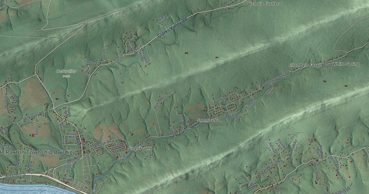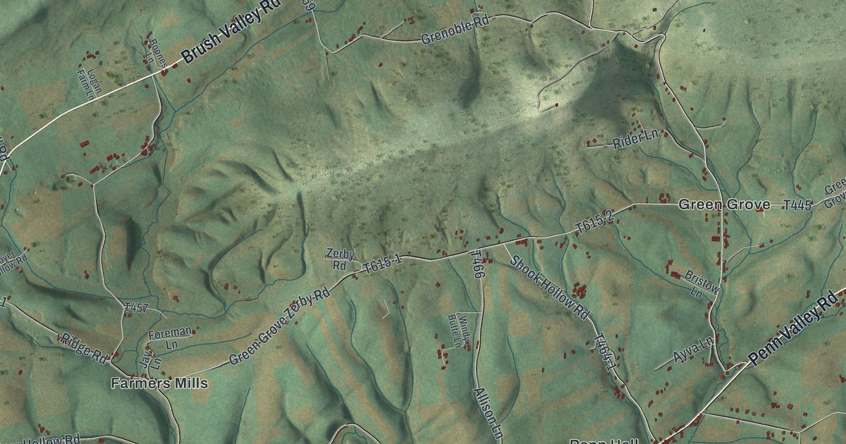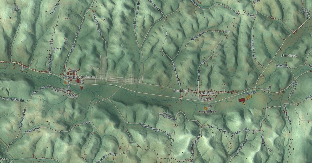
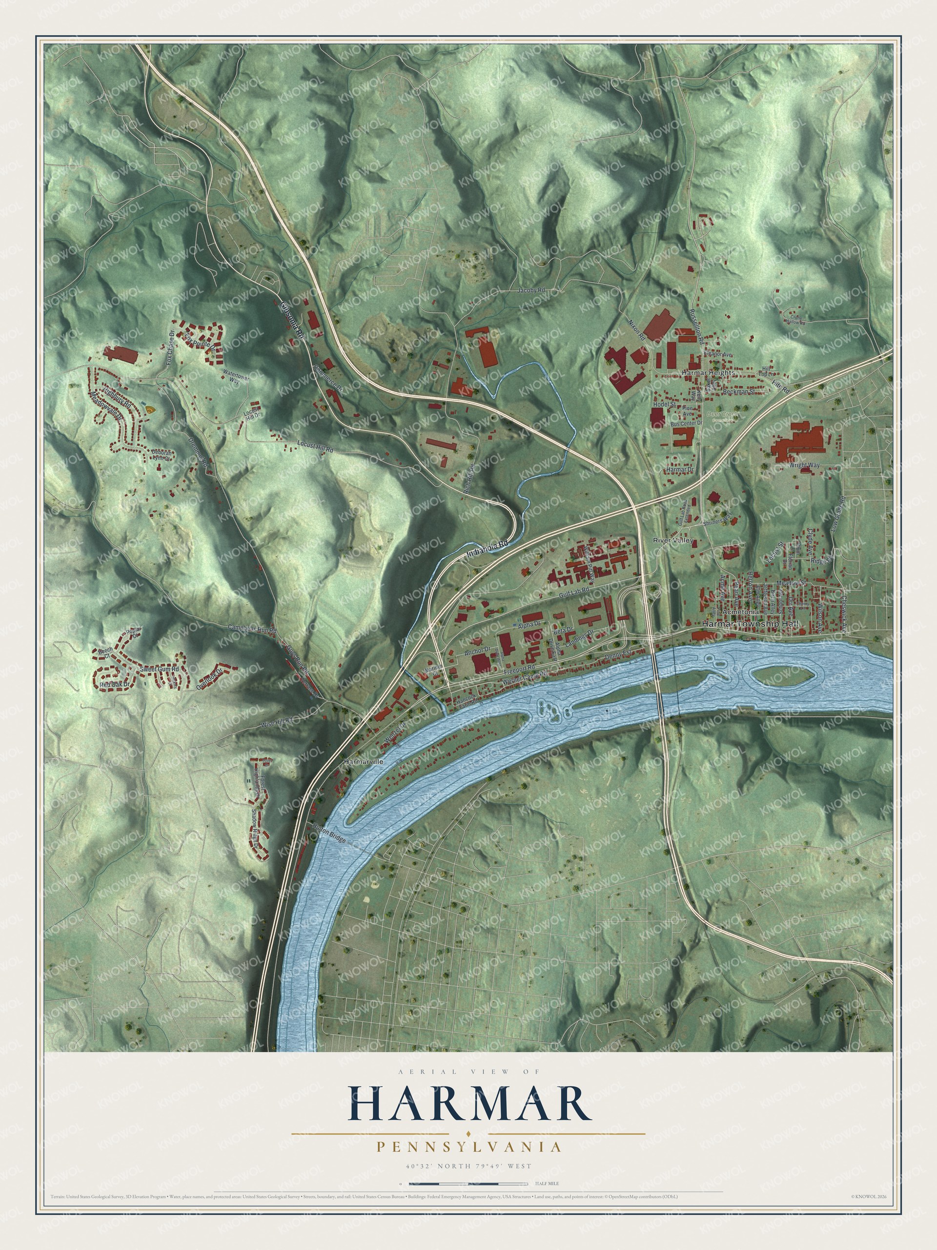
This beautifully detailed map of Harmar, Pennsylvania was created in 2026 using aerial imagery combined with modern topographical, census, street and landmark data. It's a modern aerial view of Harmar in Allegheny County, Pennsylvania, that combines modern data with a vintage aesthetic. The roads feature printed names, and if you look closely you can find your exact house accurately shown in its correct location.
Explore an aerial view of Harmar, Pennsylvania
On this map you'll find Harmar Township Hall, Deer Creek Cemetery, Acmetonia, Harmar Heights, Harmarville, River Valley, Indianola Road, Gibsonia Road, Freeport Road, Russellton Road, Gulf Lab Road, Cheswick Avenue, and more. Each red shape is a building, so zoom in on the preview and look for yours.
Harmar has a story worth telling. The record at data.pa.gov puts it this way: "Heroic acts that followed the January 25, 1904, explosion in the nearby Harwick Mine inspired Carnegie, who also founded ten similar funds in Europe."
Harmar is a place in Allegheny County. The Census Bureau counted 3,133 people here in 2020.
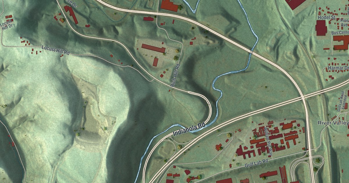
Take a closer look at the Harmar map
Names on this map
These names are printed on this map.
Places: Harmar Township Hall, Deer Creek Cemetery, Acmetonia, Harmar Heights, Harmarville and River Valley.
Streets and roads: Indianola Road, Gibsonia Road, Freeport Road, Russellton Road, Gulf Lab Road, Cheswick Avenue, Werner Camp Road, Pearl Avenue, Anchor Drive, Alpha Drive, Guys Run Road, Locust Hill Road.
More street names, A to Z
Acme Avenue, Alpha Drive East, Alpha Drive West, Baker Alley, Beckman Street, Beech Court, Beta Drive, Birch Alley, Bus Center Drive, Campbells Run Road, Cherry Lane, Clyde Avenue, Commerce Drive, Crone Hallow Road, Deborah Lynn Court, Denny Est, Dover Drive, Dremmel Road, Eleanor Avenue, Elm Alley, Florian Drive, Forest Highlands Drive, Fox Chase Drive, Fox Pointe Drive, Gulf Lab Road Extended, Hancock Farm Road, Harmar Drive, Herron Avenue, Hickory Court, Highbury Road, Hill Top Lane, Hite Road, Hodel Street, Hulton Bridge, Jacoby Road, Jefferson Avenue, Kelly Way, Landings Drive, Locust Hill Drive, Locust Street, Low Grade Road, Mariner Court, Meadow Street, Meadowvale Drive, Nixon Road, Orr Avenue, Overlook Drive, Pine Alley, Pine Avenue, Plum Lane, Poplar Court, Red Oak Drive, Rich Hill Road, Ridge Road, School Avenue, Shadow Ridge Drive, Shriners Way, Sweet Gum Road, Terrace Drive, Watertower Way, Wenzel Drive, William Pitt Way, Wilson Avenue, Wise Hill Road, Wright Way.
Created by KNOWOL in 2026. The buildings are small red shapes, the roads carry their printed names, and shaded relief shows the shape of the land. The title panel reads "AERIAL VIEW OF HARMAR PENNSYLVANIA" with 4, 0, °, 3, 2, ', , N, O, R, T, H, , 7, 9, °, 4, 9, ', , W, E, S, T.
It looks right in a kitchen, an office or a den, and it's a gift for anyone who grew up in Harmar or moved away. Open the preview and find your street. See sizes and frames for the Harmar map.