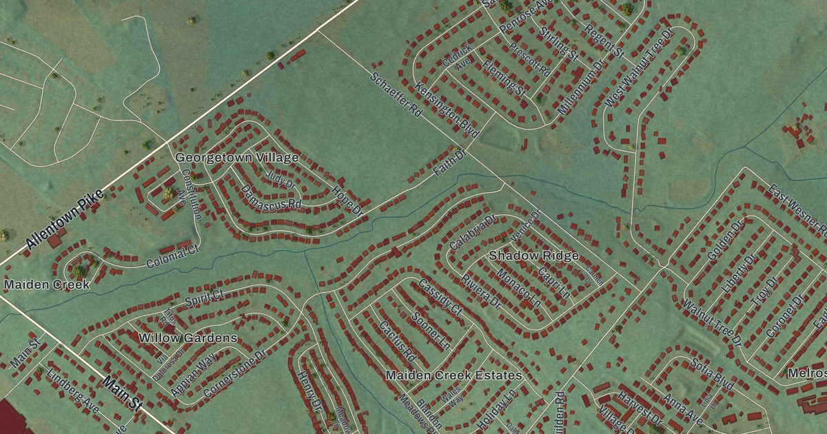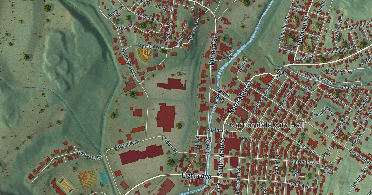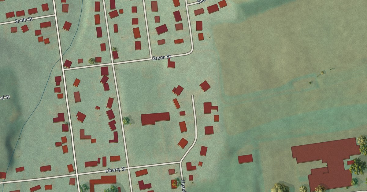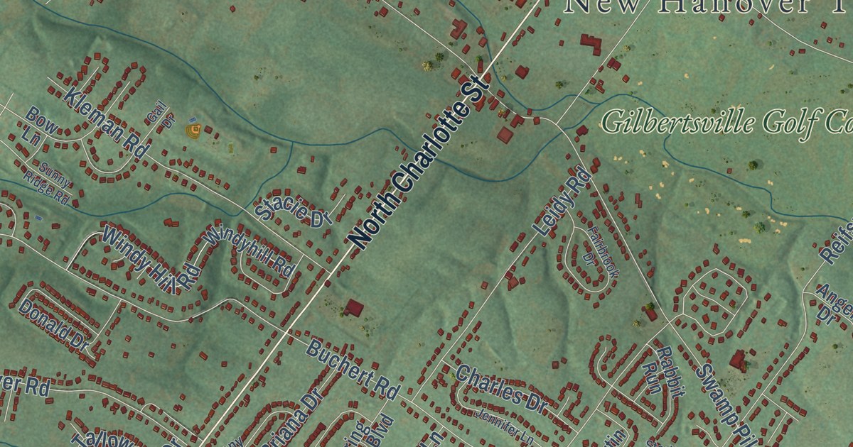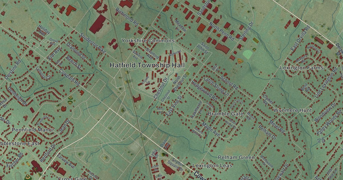
This beautifully detailed map of Hatfield Township, Pennsylvania was created in 2026 using aerial imagery combined with modern topographical, census, street and landmark data. It’s a one-of-a-kind view of Hatfield Township that combines accurate data with a vintage aesthetic. The map shows every building in its true location, many of the roads carry their names, and the shaded topographic relief shows the shape of the land.
Explore an aerial view of Hatfield Township, Pennsylvania
On the map you’ll find Hatfield Township Hall, Bramble Gate, Cobblestone East, Colmar, Cowpath Village, Cross Gate, Fortuna, Hilpert, Lexington Farms, Lexington Leas, Oak Wood East, Orvilla, and more. If you look closely you can even find your house accurately drawn in its correct location. Zoom in on the preview to look for yours.
Did you know this about Hatfield Township, Pennsylvania?
From the History of Montgomery County: "Treewigtown, or Hatfield Square, as it is called in Scott’s Atlas, is situated on the old Bethlehem road, about a mile northwest of Colmar."
Take a closer look at the Hatfield Township map
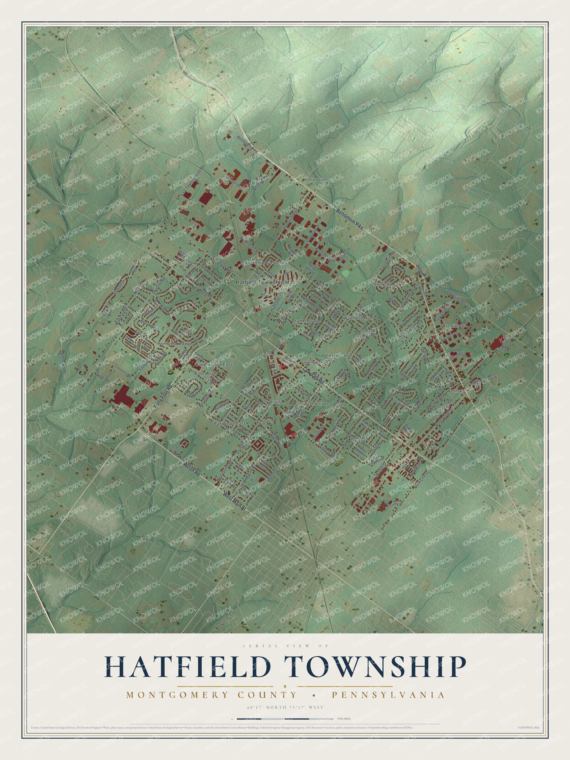
Street and place names on the Hatfield Township, Pennsylvania map
These names are printed on the map of Hatfield Township, Pennsylvania.
Places: Hatfield Township Hall, Oak Wood East, Fortuna, Unionville, Colmar, Lexington Farms, Lexington Leas, Pennfield Manor, Orvilla, Trewigtown, Wynmere Hunt, Cowpath Village, Cross Gate, Hilpert, Bramble Gate, Yorkshire Commons, Pelham Green and Cobblestone East.
Streets and roads: Welsh Road, West Main Street, Forty Foot Road, Bethlehem Pike, Cowpath Road, Diamond Street, West Orvilla Road, East Vine Street, Bergey Road, Line Lexington Road, North Broad Street, North Line Street.
More street names, A to Z
1 Street, Adams Drive, Addison Lane, Advance Lane, Alexander Drive, Allentown Road, Anthony Drive, Arbor Circle, Beech Street, Bellevue Lane, Bent Road, Berry Drive, Brentwood Drive, Brighton Drive, Brookside Drive, Brush Hollow Road, Cabin Road, Campus Drive, Carpenter Lane, Chestnut Drive, Chestnut Street, Cindy Lane, Clemens Road, Clymer Road, County Line Road, Creek Road, Dain Avenue, Davis Circle, Deer Run Road, Delaware Street, Denbeigh Drive, Derstine Road, Discovery Drive, East Orvilla Road, East Township Line Road, East Walnut Street, Elm Avenue, Elm Street, Elroy Road, Emerald Avenue, Emily Court, Etta Place, Fairgrounds Road, Farview Avenue, Fischer Road, Forest Avenue, Fortuna Drive, Foster Road, Funks Road, Garden Street, Garfield Avenue, General Forst Drive, Grant Avenue, Grapevine Drive, Grayson Drive, Grove Avenue, Hartford Circle, Harvest Moon Lane, Hawthorne Lane, Hedgewood Road, Hertford Drive, Holiday Avenue, Huntingdon Lane, Ida Lane, Industry Road, Jean Drive, Jenkins Avenue, Joann Circle, Jodi Sue Lane, Koffel Road, Latch String Lane, Lenhart Road, Leon Drive, Linden Lane, Logan Drive, Lydia Drive, Lynrose Circle, Maple Avenue, McArthur Drive, Meadow Lane, Medical Campus Drive, Merel Road, Miller Place, Moyer Road, Nantucket, Needham Circle, Norman Avenue, North Chestnut Street, North Penn Road, Oak Park Road, Oak Road, Old Bethlehem Pike, Orvilla Road, Park Avenue, Peaceful Lane, Peach Tree Lane, Pelham Drive, Pennfield Drive, Peterson Way, Pine Street, Railroad Avenue, Rebecca Drive, Richmond Road, Rose Lane, Roxbury Road, Saint John Street, Sandstone Drive, School Road, Schwab Road, Sharon Road, Snyder Square Drive, Souderton Pike, Sourwood Drive, Squirrel Lane, Sterling Drive, Stewart Drive, Stockton Drive, Stratford Avenue, Third Street, Thomas Penn Avenue, Towamencin Avenue, Trewigtown Road, Truman Drive, Unionville Pike, Valley Woods Road, Vassar Drive, Vernon Court, Virginia Square, Walnut Street, Waterford Drive, Werner Road, West Street, West Walnut Street, Whitemarsh Lane, Wimbledon Lane, Winston Street, Woodside Avenue, Woodview Drive, Wynne Way, Wynstone Court.
See the Hatfield Township, Pennsylvania map on a wall
The Hatfield Township, Montgomery County map as an 18 x 24 inch print in a black frame.

This beautifully detailed map of Hatfield, Montgomery County makes an attractive addition to your office, library, or den, and it can even be used to teach children the geography and history of the area. It also makes a great gift for anyone who grew up in Hatfield Township or moved away. When you’re done exploring, click here to get your copy of the Hatfield, Montgomery County map.