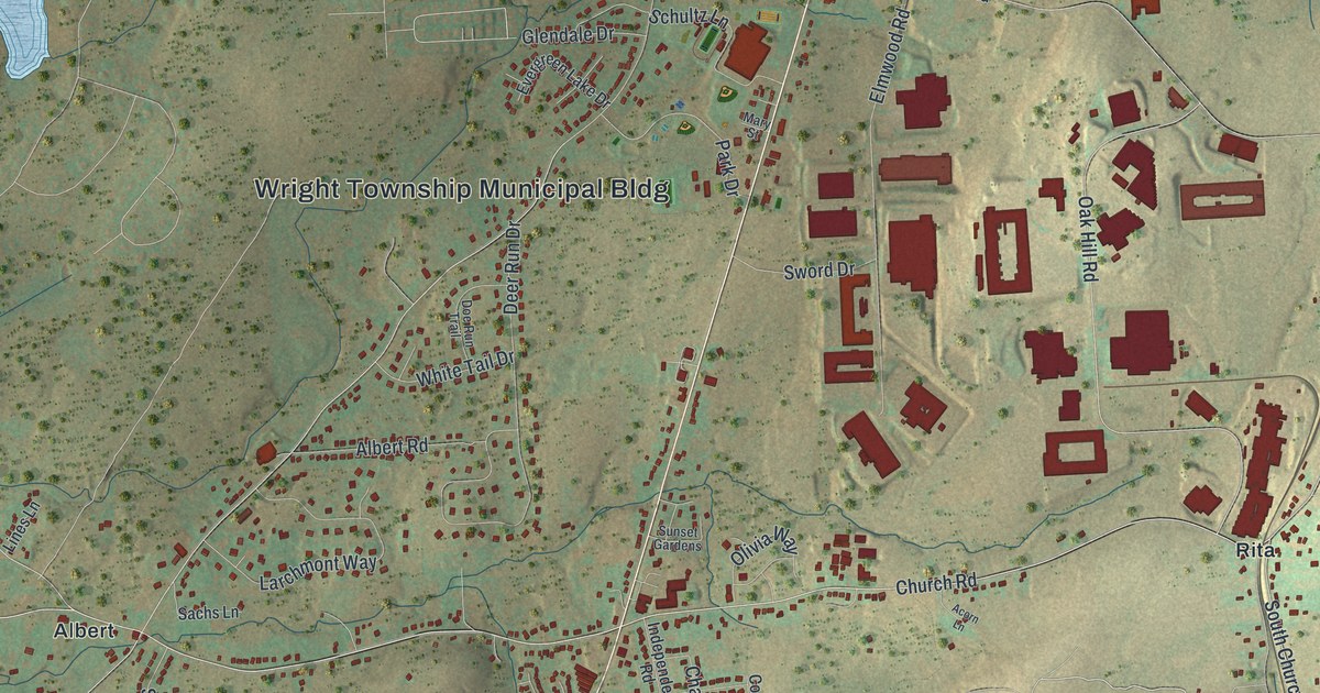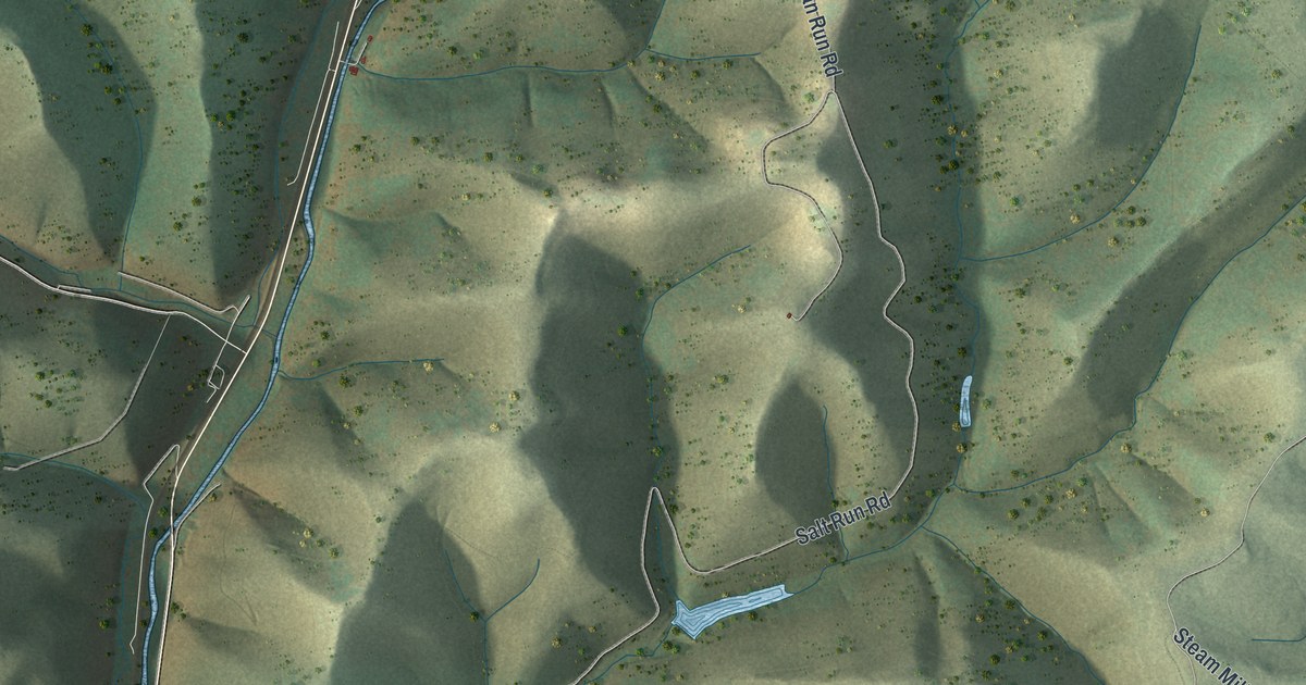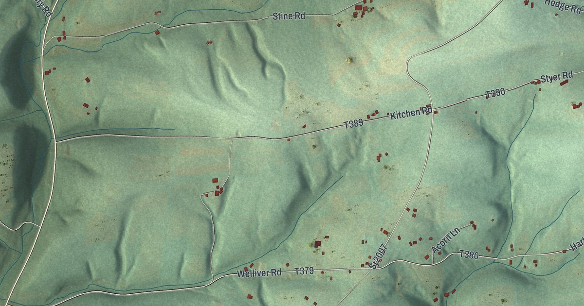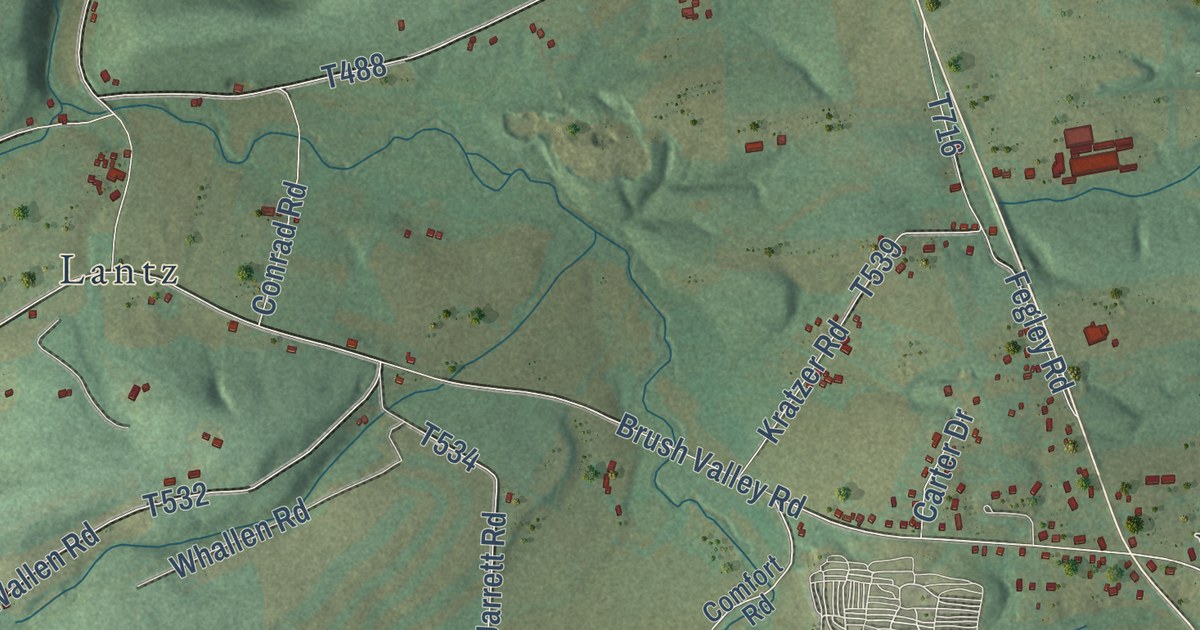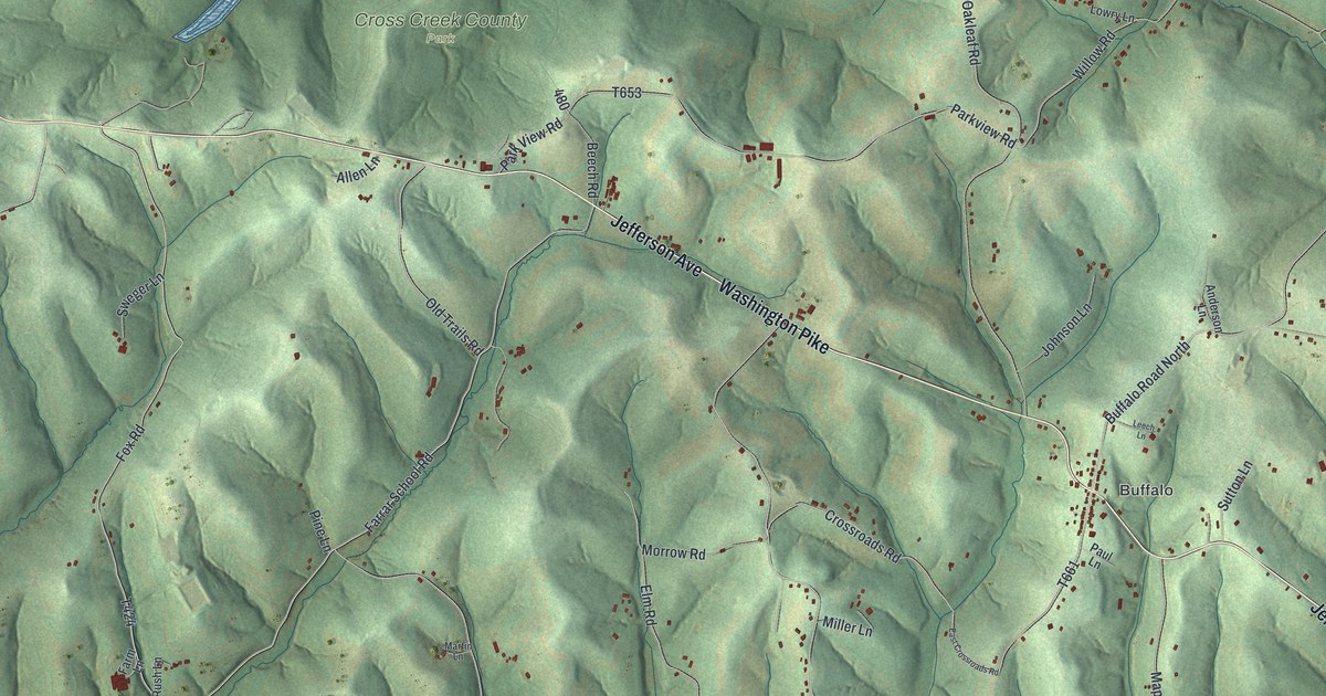
This beautifully detailed map of Hopewell, Washington County, Pennsylvania was created in 2026 using aerial imagery combined with modern topographical, census, street and landmark data. It’s a one-of-a-kind view of Hopewell that combines accurate data with a vintage aesthetic. The map shows every building in its true location, many of the roads carry their names, and the shaded topographic relief shows the shape of the land.
Explore an aerial view of Hopewell, Washington County, Pennsylvania
On the map you’ll find Dunkle, Buffalo, and Cross Creek County Park, along with Jefferson Avenue, Washington Pike, Brush Run Road, Seminary Lane, Seminary Road, Farrar School Road, Crossroads Road, and more. If you look closely you can even find your house accurately drawn in its correct location. Zoom in on the preview to look for yours.
Did you know this piece of Hopewell, Washington County, Pennsylvania history?
Hopewell Township in Washington County was home to the family of Robert Fulton, the steamboat builder. While still a miniature painter in Philadelphia, Fulton bought a farm on Cross Creek here from Thomas Polke for eighty pounds. His mother and three sisters made their home on the farm. Fulton’s will of 1814 left it to his sister Elizabeth Scott. That’s from the 1882 History of Washington County, Pennsylvania.
Take a closer look at the Hopewell, Washington County map
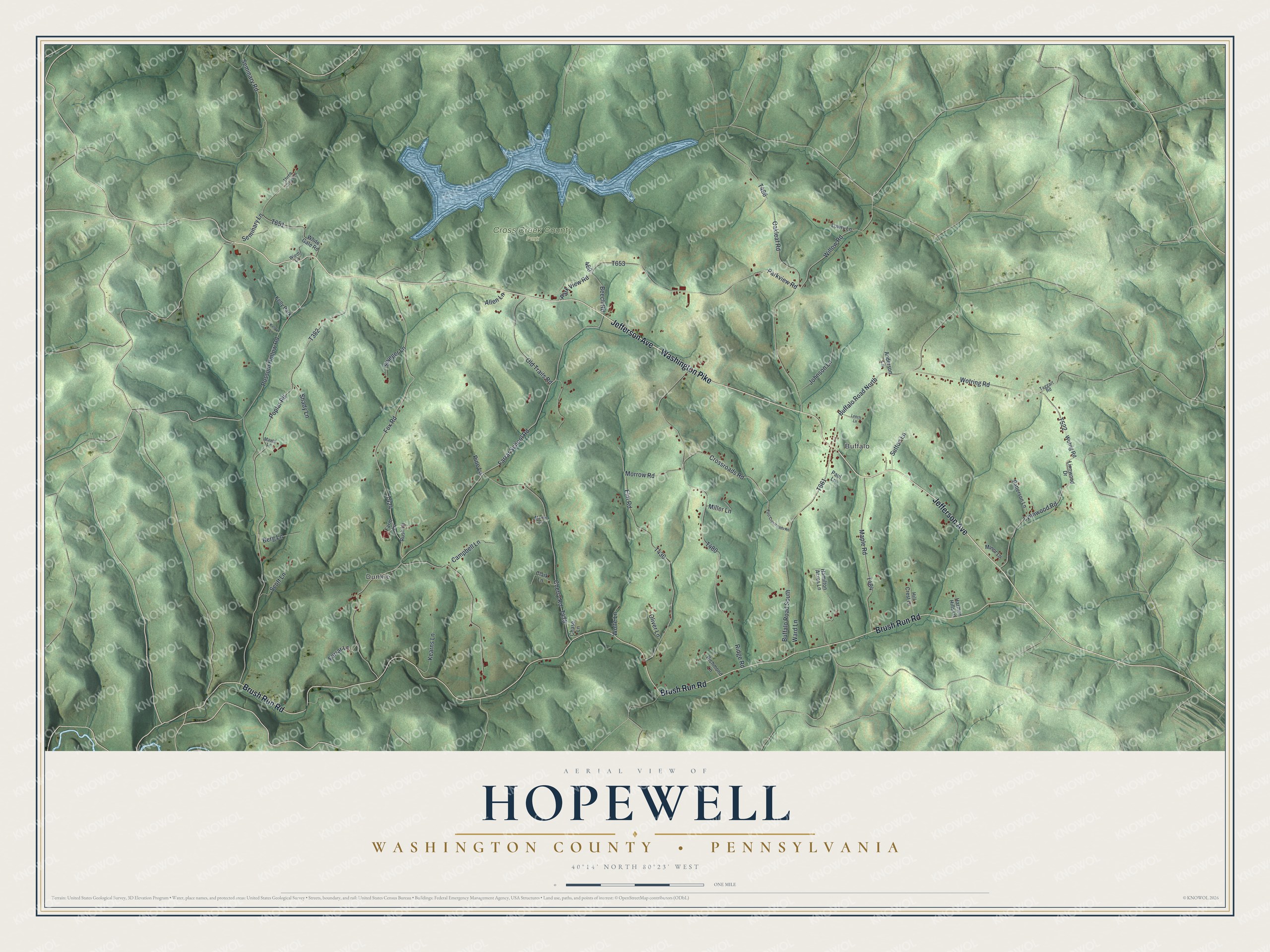
Street and place names on the Hopewell, Washington County, Pennsylvania map
These names are printed on the map of Hopewell, Washington County, Pennsylvania.
Places: Dunkle, Buffalo, Cross Creek County Park and Kelly Park.
Streets and roads: Jefferson Avenue, Washington Pike, Brush Run Road, Seminary Lane, Seminary Road, Farrar School Road, Crossroads Road, Fox Road, Ridge Road, Buffalo Road North, Parkview Road, Poplar Road.
More street names, A to Z
Allen Lane, Anderson Lane, Beech Road, Berg Lane, Buffalo Road South, Campbell Lane, Chase Lane, Cherry Road, Clark Lane, East Crossroads Road, Elm Road, Farm Lane, Farrar Lane, Hamilton Acres Lane, Harmon Hills Lane, Hill Crest Lane, Johnson Lane, Kearns Lane, Kelley Lane, Leech Lane, Linnwood Drive, Lowry Lane, Lynnwood Road, Maple Road, Martin Lane, Mavor Lane, Miller Lane, Minor Lane, Morrow Road, Oakleaf Road, Old Trails Road, Oliver Lane, Park View Road, Patterson Lane, Paul Lane, Pine Lane, Possum Hollow Road, Richmond Lane, Rush Lane, Scott Lane, Shady Lane, Sutton Lane, Sweger Lane, Taggart Road, Three Cross Lane, Ward Lane, White Gate Road, Wiedt Lane, Willow Road, Wolfe Lane, Wotrig Road, Wotring Road.
See the Hopewell, Washington County, Pennsylvania map on a wall
The Hopewell, Washington County map as an 18 x 24 inch print in a black frame.

This beautifully detailed map of Hopewell, Washington County makes an attractive addition to your office, library, or den, and it can even be used to teach children the geography and history of the area. It also makes a great gift for someone who left Hopewell and still calls it home. When you’re done exploring, click here to get your copy of the Hopewell, Washington County map.