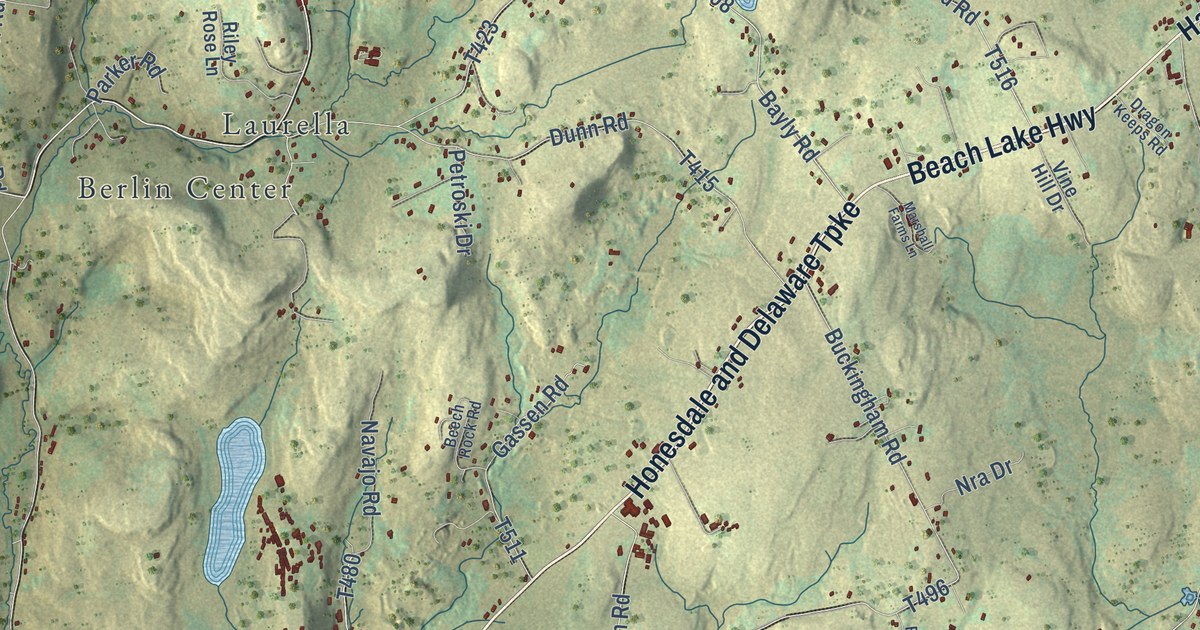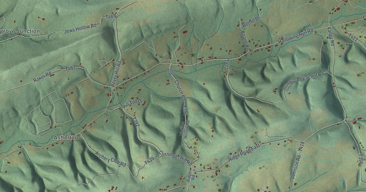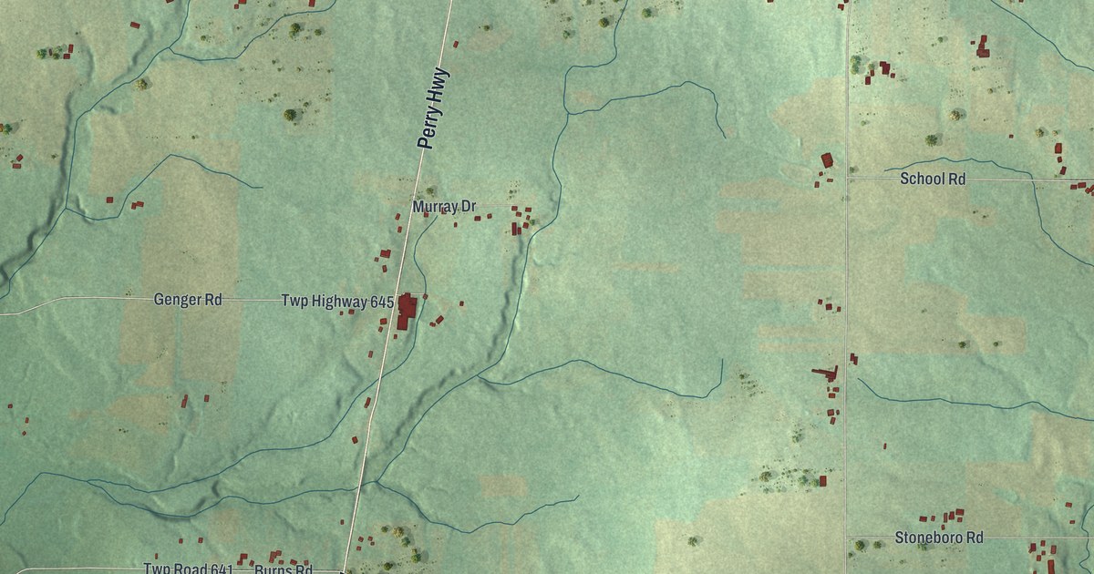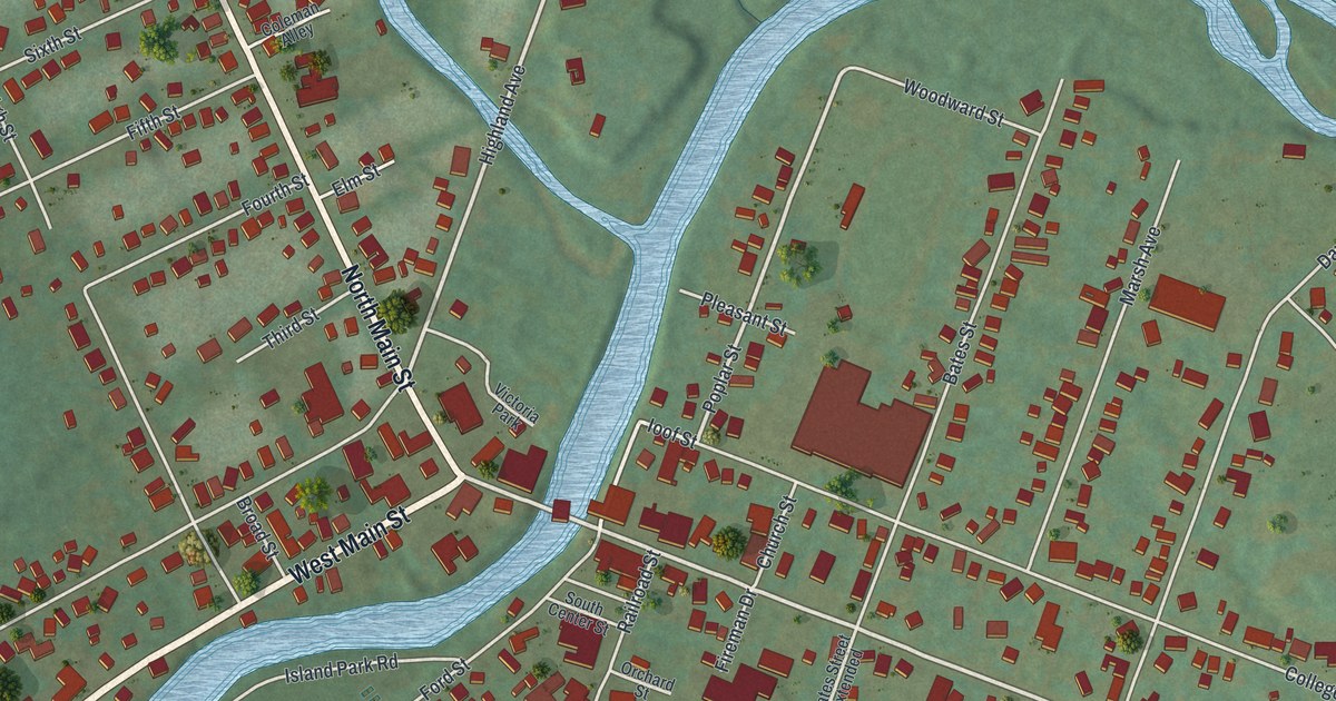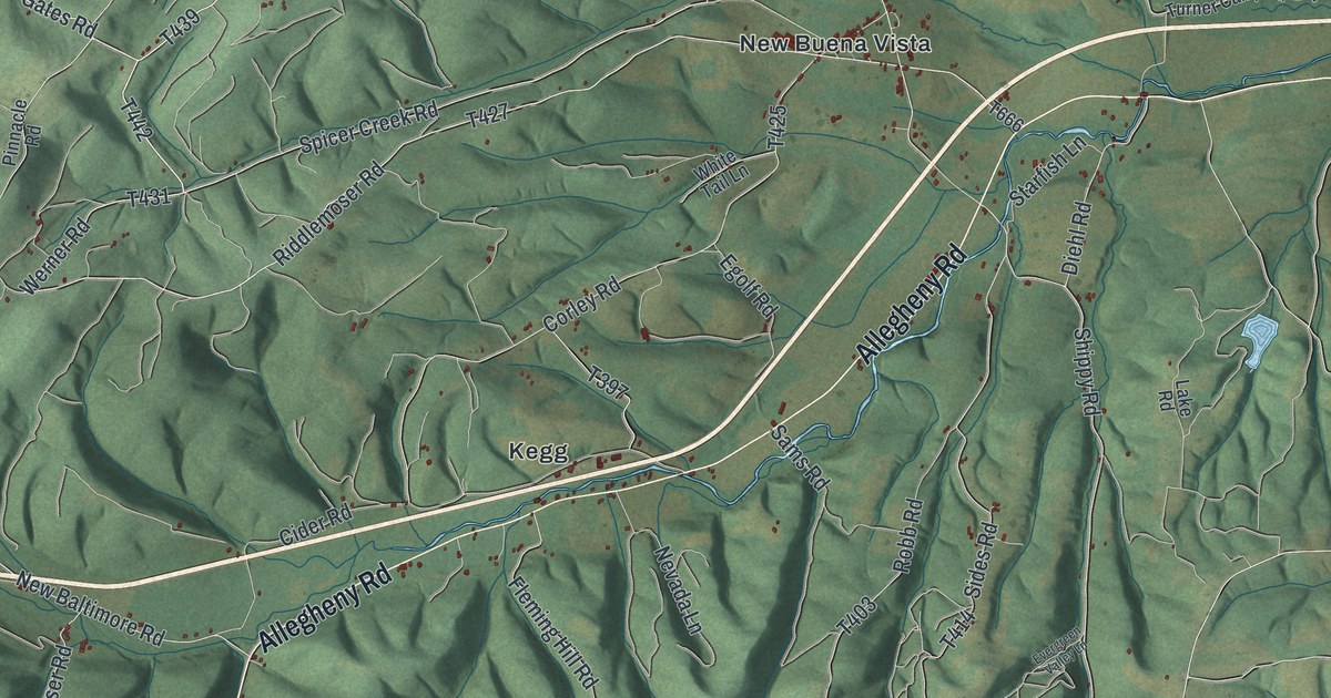
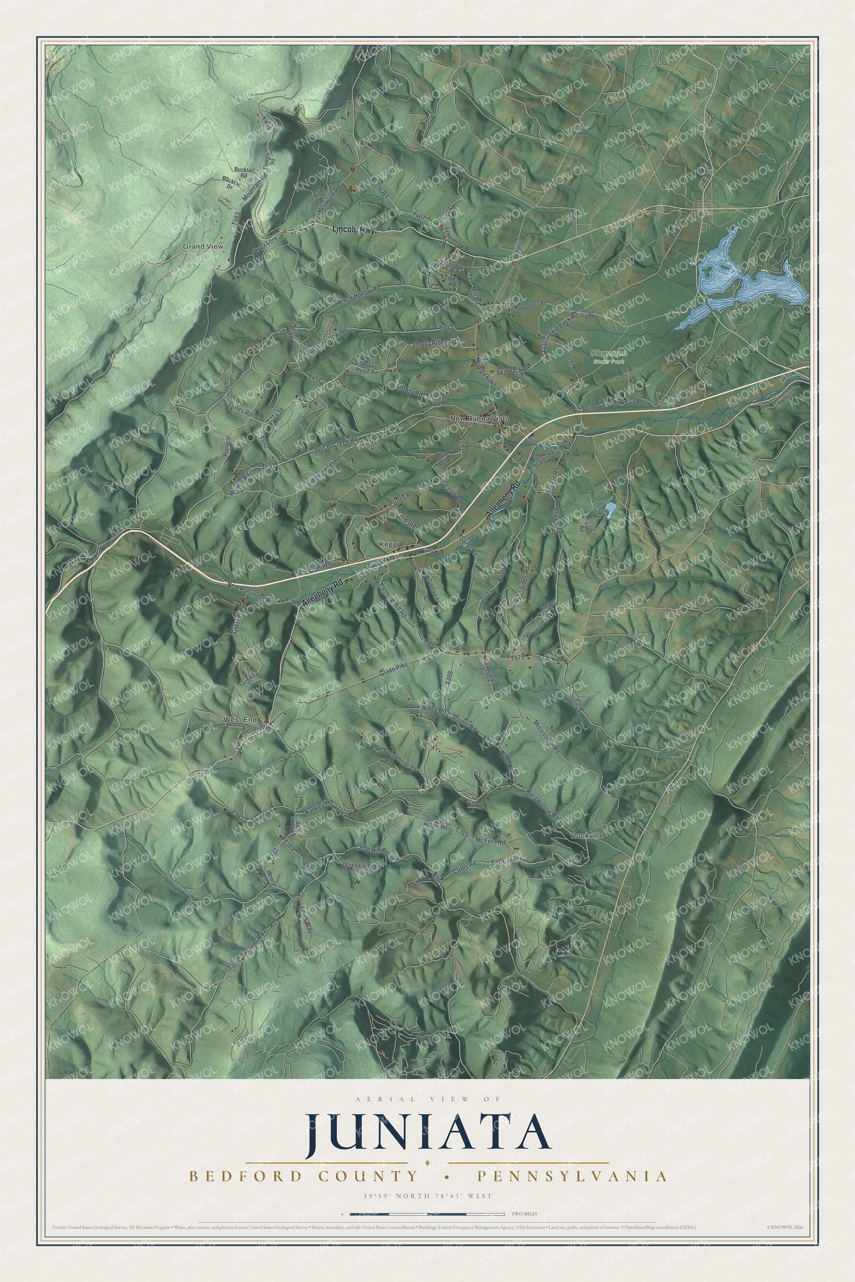
This beautifully detailed map of Juniata, Bedford County, Pennsylvania was created in 2026 using aerial imagery combined with modern topographical, census, street and landmark data. It’s a one-of-a-kind view of Juniata that combines accurate data with a vintage aesthetic. The map shows every building in its true location, many of the roads carry their names, and the shaded topographic relief shows the shape of the land.
Explore an aerial view of Juniata, Bedford County, Pennsylvania
On the map you’ll find Grand View, Shawnee State Park, Kegg, New Buena Vista, Rockville, and West End, along with Allegheny Road, Lincoln Highway, Black Hollow Road, Smoky Ridge Road, and more. If you look closely you can even find your house accurately drawn in its correct location. Zoom in on the preview to look for yours.
Did you know this piece of Juniata, Bedford County, Pennsylvania history?
From the 1884 History of Bedford, Somerset, and Fulton Counties, Pennsylvania: "Newman took his grists on his back and walked fifteen miles to Fate’s mill, near Cumberland, in order to procure supplies of flour or meal."
Take a closer look at the Juniata, Bedford County map
Street and place names on the Juniata, Bedford County, Pennsylvania map
These names are printed on the map of Juniata, Bedford County, Pennsylvania.
Places: Grand View, Shawnee State Park, Kegg, New Buena Vista, Rockville and West End.
Streets and roads: Allegheny Road, Lincoln Highway, Black Hollow Road, Smoky Ridge Road, Gates Road, Werner Road, Riddlemoser Road, Spicer Creek Road, Buena Road, Mill Road, Clites Road, Mountain Road.
More street names, A to Z
Adams Road, Bard Hollow Road, Barkley Road, Big Maple Lane, Boozer Road, Brant Hollow Road, Bucktail Drive, Bucktail Road, Byrne Road, Camp Hill Road, Church Hill Road, Cider Road, Corley Road, Creekside Lane, Diehl Road, Egolf Road, Evergreen Valley Lane, Fisher Road, Fleegle Road, Fleming Hill Road, Fort Dewart Lane, Frazier Road, Fyan Mill Road, Geller Road, Glade Pike, Grasser Road, Greenbriar Lane, Helixville Road, Hillegass Camp Road, Hillegass Road, Hill Road, Hoover Road, Hyde Road, Lake Road, Lita Lane, Lou's Way, Loya Lane, McFern Road, Meadow Lane, Mississippi Road, Mowry Hill Road, Mowry Road, Nevada Lane, New Baltimore Road, Old Bard Hollow Road, Pinnacle Road, Ridge Road, Robb Road, Sams Road, Shippy Road, Shomo Road, Sides Road, Skip Back Road, Skipback Road, Smokey Ridge Road, Starfish Lane, Teaberry Hollow Road, Turner Camp Road, White Tail Lane.
See the Juniata, Bedford County, Pennsylvania map on a wall
The Juniata, Bedford County map as an 18 x 24 inch print in a black frame.

This beautifully detailed map of Juniata, Bedford County makes an attractive addition to your office, library, or den, and it can even be used to teach children the geography and history of the area. It also makes a great gift for anyone with Juniata roots. When you’re done exploring, click here to get your copy of the Juniata, Bedford County map.