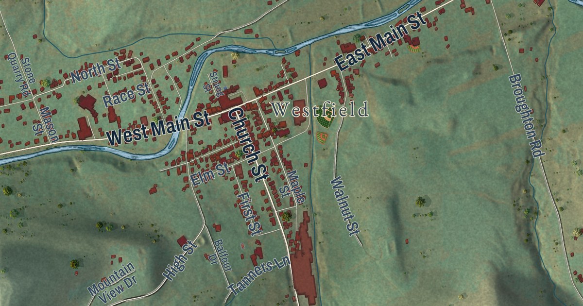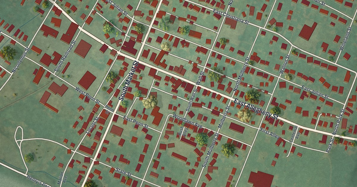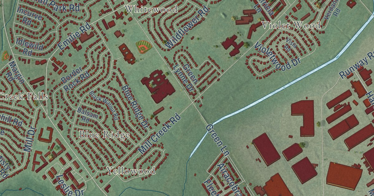
This beautifully detailed map of Levittown, Pennsylvania was created in 2026 using aerial imagery combined with modern topographical, census, street and landmark data. It’s a one-of-a-kind view of Levittown that combines accurate data with a vintage aesthetic. The map shows every building in its true location, many of the roads carry their names, and the shaded topographic relief shows the shape of the land.
Explore an aerial view of Levittown, Pennsylvania
On the map you’ll find Appletree Hill, Birch Valley, Blue Ridge, Cobalt Ridge, Crabtree Hollow, Dogwood Hollow, Edgely, Elderberry Pond, Emilie, Farmbrook, and Goldenridge, along with Elmwood Terrace, and more. If you look closely you can even find your house accurately drawn in its correct location. Zoom in on the preview to look for yours.
Did you know this piece of Levittown, Pennsylvania history?
From the Pennsylvania Historical and Museum Commission: "This fully planned, six-home style residential community was conceived by the builder, William J. Levitt. The first family moved in, June 23, 1952. When completed in 1957, Levittown contained 17,311 homes on 5,750 acres, designed for a population of 70,000. It expanded on the pattern set by Levittown, N.Y. (built 1947-51) and was a landmark in the development of suburban housing in the United States."
Take a closer look at the Levittown map
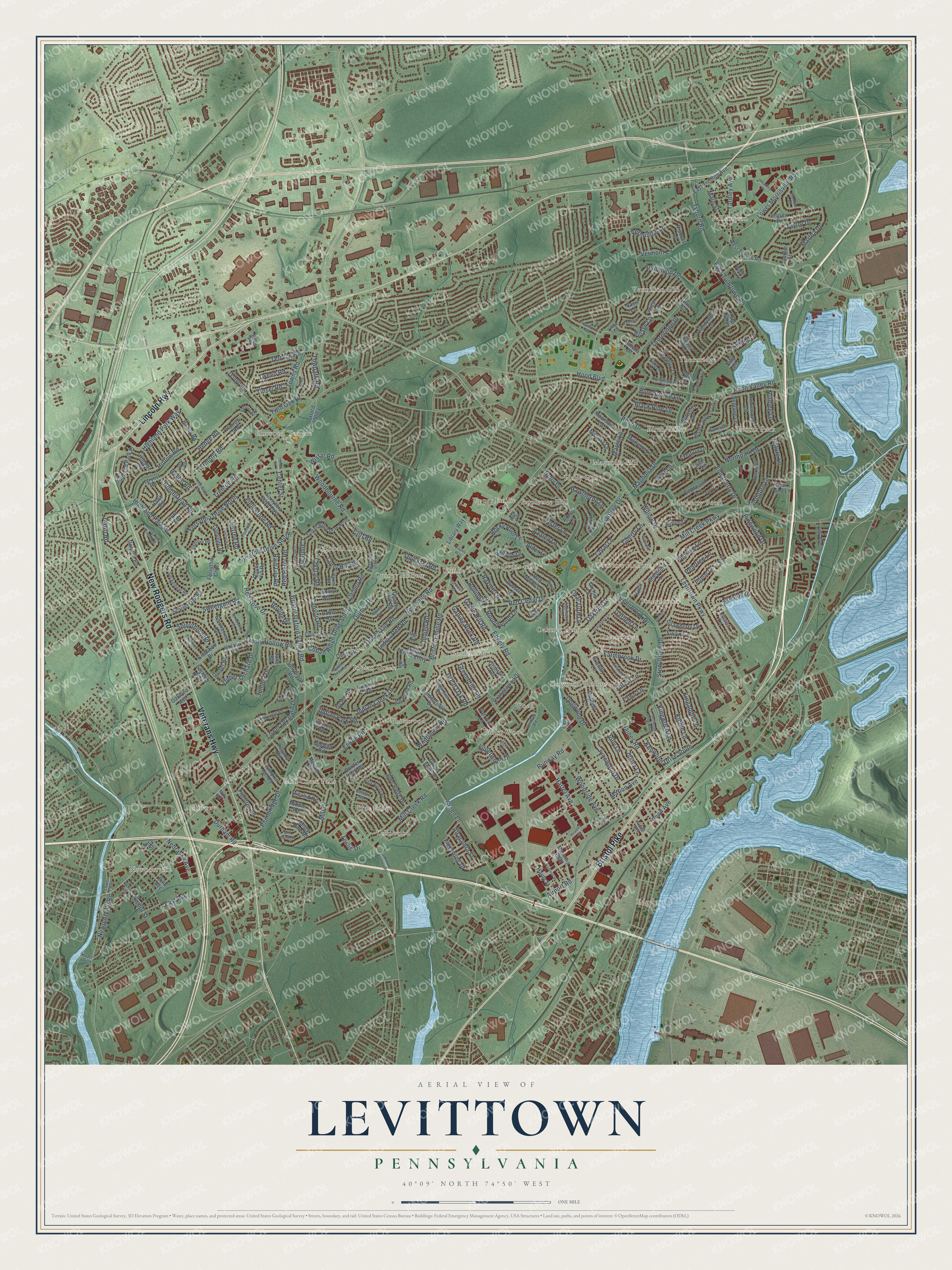
Street and place names on the Levittown, Pennsylvania map
These names are printed on the map of Levittown, Pennsylvania.
Places: Red Cedar Hill, Newportville, Edgely, North Park, Blue Ridge, Indian Creek, Elmwood Terrace, Magnolia Hill, Vermilion Hill, Dogwood Hollow, Cobalt Ridge, Midway, Stonybrook, Appletree Hill, Violet Wood, Pinewood, Goldenridge, Birch Valley, Greenbrook, Thornridge, Fallsington, Emilie, Whitewood, Wood, Holly Hill, Mill Creek Falls, Quincy Hollow, Oaktree Hollow, Upper Emilie, Crabtree Hollow, Elderberry Pond and Yellowood.
Streets and roads: Bristol Pike, New Rodgers Road, Lincoln Highway, Veterans Highway, New Falls Road, Lower Morrisville Road, Hartel Avenue, Yardley Avenue, Bristol Oxford Valley Road, Levittown Parkway, Mill Creek Parkway, Edgely Road.
More street names, A to Z
Airacobra Street, Airport Road, Alder Lane, Amelia Drive, Arbor Lane, Arch Lane, Aster Lane, Azalea Lane, Bald Cypress Lane, Balsam Road, Birch Drive, Black Pine Lane, Black Walnut Road, Blue Ridge Drive, Blue Spruce Lane, Border Rock Road, Bristol-Emilie Road, Butterfly Lane, Cable Road, Cameo Road, Canary Road, Candle Road, Canna Road, Canyon Road, Center Street, Centre Street, Cherry Lane, Cleft Rock Road, Cliff Road, Cloister Road, Cobalt Cross Road, Cobalt Ridge Drive North, Cobalt Ridge Drive South, Coral Lane, County Way, Crabtree Drive, Crescent Lane, Crystal Road, Curry Hill Road, Daffodil Lane, Dawn Road, Deep Dale Drive East, Dogwood Drive, Dolphin Road, Durham Road, East Avenue, Eastend Avenue, East Lane, East Trenton Avenue, Echo Lane, Edgewood Lane, Elderberry Drive, Ellerdale Road, Elm Lane, Emilie Road, Everturn Lane, Fallenrock Road, Falls Tullytown Road, Farmbrook Drive, Fawn Lane, Fieldstone Road, Firtree Road, Flamingo Road, Fleetwing Drive, Forest Lane, Forsythia Cross, Forsythia Drive East, Forsythia Drive North, Forsythia Drive South, Fountain Road, Foxglove Road, Franklin Street, Freedom Lane, Friendly Lane, Frosty Hollow Road, Gable Hill Road, Gaping Rock Road, Gardenia Road, Garden Lane, Gingerbush Road, Goldenridge Drive, Graystone Lane, Great Oak Road, Greenbrier Road, Greenbrook Drive, Green Lane, Green Lynne Drive, Gridiron Road, Grieb Avenue, Haines Road, Halfturn Road, Handy Road, Hanford Road, Hanford Street, Hardy Street, Harmony Road, Harrow Road, Harvest Road, Haven Road, Hawk Road, Hawthorne Lane, Hazel Avenue, Headley Court, Headley Place, Headley Street, Heartwood Road, Hedge Road, Hibbs Lane, Hickory Lane, Highland Park Drive, Highland Park Place, Highland Park Way, Hillside Road, Hollow Road, Holly Drive, Homestead Road, Hood Boulevard, Horn Road, Hunt Road, Ice Pond Road, Idlewild Road, Incurve Road, Indian Creek Drive, Indian Creek Entry, Indian Park Road, Indian Red Road, Indigo Road, Iris Road, Iroquois Road, Islet Road, Ivy Hill Road, Jensen Drive, Jester Lane, Jollybrook Road, Jolly Lane, June Road, Junewood Drive, Juniper Drive, Kenwood Drive North, Kenwood Drive South, Kindle Lane, Kingapple Lane, Kingwood Lane, Lakeside Drive, Larkspur Road, Leslie Drive, Library Way, Locust Lane, Long Loop Road, Lower Orchard Drive, Lower Road, Lynn Avenue, Magnolia Drive, Main Street, Manning Boulevard, Maple Lane, Margin Road, Marion Avenue, Martha Drive, Micahill Road, Middle Road, Miles Road, Mill Bend Road, Mill Creek Road, Mill Drive, Milly Drive, Mimosa Lane, Mistletoe Lane, Misty Pine Road, Mountain Lane, Nature Lane, Nearwood Lane, Nebraska Avenue, Neptune Lane, New Pond Lane, Newportville Road, Nice Street, Nichol Avenue, Nichol Street, Nightingale Lane, Noblewood Lane, Northpark Drive, Northturn Lane, Nutmeg Lane, Oakland Avenue, Oaktree Drive, Openwood Lane, Orangewood Drive, Orchid Lane, Oval Turn Lane, Oxford Valley, Oxford Valley Road, Patricia Lane, Peartree Lane, Penn Avenue, Penn Lane, Penn Valley Road, Pensive Lane, Petunia Road, Pine Avenue, Pinewood Drive, Plumbridge Drive, Plumtree Road, Poplar Lane, Post Lane, Pumpkin Hill Road, Quaker Hill Road, Queen Anne Road, Queen Lily Road, Quest Road, Quickset Road, Quiet Road, Quincy Drive, Rainbow Lane, Rain Lily Road, Ravine Lane, Red Berry Road, Red Cedar Drive, Red Maple Lane, Red Rose Drive, River Lane, Rocky Pool Lane, Rolling Lane, Round Hill Road, Roundwood Lane, Roving Road, Ruby Lane, Rue Court, Runway Road, Russett Lane, Scarlet Oak Road, Seckelpear Road, Shepherd Lane, Smoketree Road, Snowball Drive, South Lane, Spindletree Road, Spinythorn Road, Spiral Lane, Spring Lane, Stonybrook Drive, Strawberry Lane, Swan Lane, Sweetgum Road, Sycamore Road, Tanglewood Lane, Tapered Oak Lane, Taylor Drive, Teaberry Lane, Tempo Road, Terrace Road, Thinbark Lane, Thornridge Drive, Thornyapple Lane, Timber Lane, Timothy Lane, Tinsel Road, Towns Road, Towpath Road, Trail Road, Trenton Road, Tulip Lane, Turn Hill Lane, Tweed Road, Twig Lane, Twin Oak Drive, Tyburn Road, Umber Road, Upland Road, Upper Orchard Drive, Valentine Lane, Vase Lane, Verdant Road, Vermillion Drive, Vermillion Lane, Vermont Lane, Viaduct Lane, Vicar Lane, Village Lane, Village Turn, Violetwood Drive, Vista Road, West Tyburn Road, Wildflower Road, Wildrose Lane, Willow Drive, Wistar Road, Woodbourne Road, Woodside Avenue.
See the Levittown, Pennsylvania map on a wall
The Levittown map as an 18 x 24 inch print in a black frame.

This beautifully detailed map of Levittown makes an attractive addition to your office, library, or den, and it can even be used to teach children the geography and history of the area. It also makes a great gift for someone who left Levittown and still calls it home. When you’re done exploring, click here to get your copy of the Levittown map.