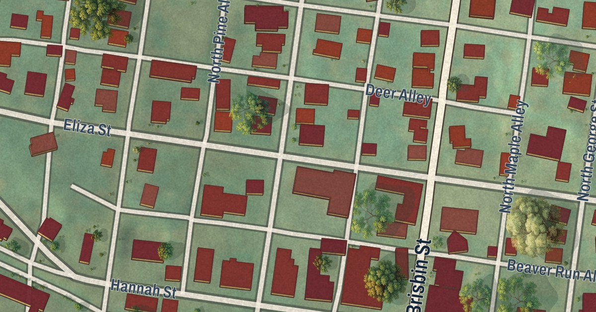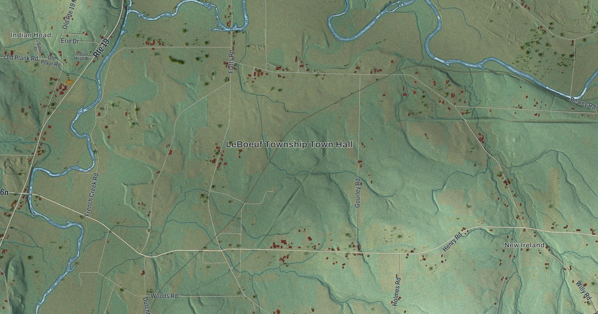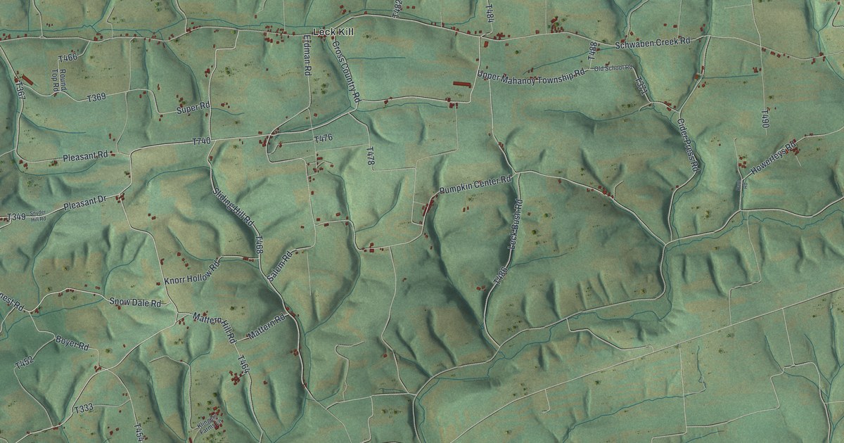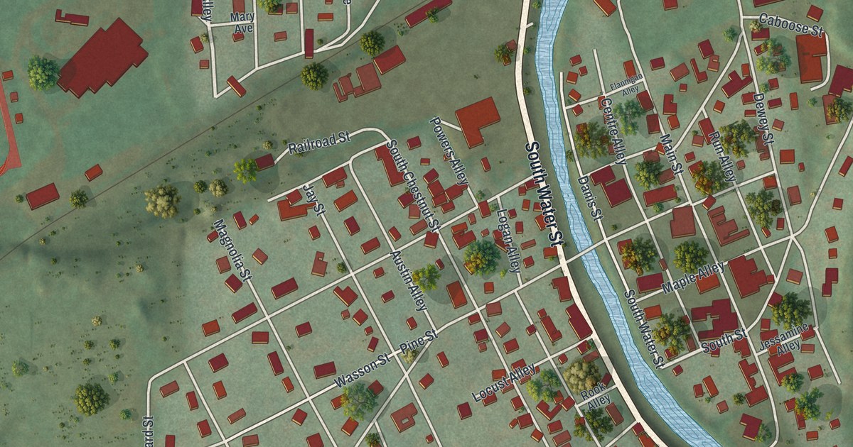
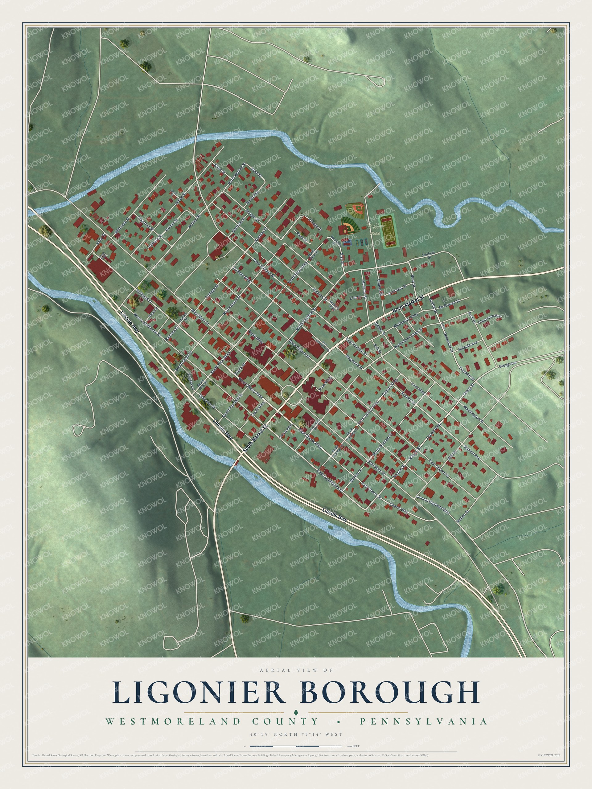
This beautifully detailed map of Ligonier Borough, Pennsylvania was created in 2026 using aerial imagery combined with modern topographical, census, street and landmark data. It’s a one-of-a-kind view of Ligonier Borough that combines accurate data with a vintage aesthetic. The map shows every building in its true location, many of the roads carry their names, and the shaded topographic relief shows the shape of the land.
Explore an aerial view of Ligonier Borough, Pennsylvania
On the map you’ll find Weller Field, along with North Market Street, Lincoln Highway, South Market Street, West Cherry Alley, East Cherry Alley, Naugle Street, Laurel Alley, Naugel Street, Railroad Street, Cyprus Alley, Ramsey Street, and more. If you look closely you can even find your house accurately drawn in its correct location. Zoom in on the preview to look for yours.
Did you know this piece of Ligonier Borough, Pennsylvania history?
From the 1882 History of the County of Westmoreland, Pennsylvania: "In a council of war it was then determined not to advance farther till the next spring, when this arrangement was changed by the return of several prisoners who had been captured and held by the Indians, from whom was found out the true condition of the garrison at Fort Duquesne, which induced the British and Americans to advance and secure that post shortly after."
Take a closer look at the Ligonier Borough map
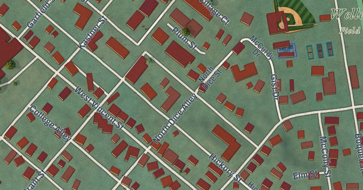
Street and place names on the Ligonier Borough, Pennsylvania map
These names are printed on the map of Ligonier Borough, Pennsylvania.
Places: Weller Field.
Streets and roads: North Market Street, Lincoln Highway, South Market Street, West Cherry Alley, East Cherry Alley, Naugle Street, Laurel Alley, Naugel Street, Railroad Street, Cyprus Alley, Ramsey Street, Magnolia Street.
More street names, A to Z
Ambrose Street, Angela Lane, Arbor Gate, Arch Drive, Ash Street, Bank Alley, Bell Street, Boquet Street, Boyd Street, Bunger Street, Burd Street, Cecil Alley, Cherry Alley, Cherry Way, Chestnut Street, Clearview Avenue, Clifford Street, College Alley, College Street, Deeds Street, Delaware Drive, Depot Street, East Cherry Street, East Church Street, East Loyalhanna Street, East Main Street, East Vincent Street, Elm Street, Fairfield Street, Franklin Street, Frank Street, Garfield Street, Gist Drive, Glessner Street, Gregg Avenue, Gregg Street, Griffith Drive, Griffth Drive, Grimm Street, Hadley Street, Hickory Alley, Hickory Street, Hillside Avenue, Indian Street, Kastner Street, Kelly Street, Knox Street, Lincoln Highway East, Linn Alley, Marker Street, McColly Street, McCurdy Drive, McGowan Street, McGowen Alley, Mellon Street, Millcreek Street, North Avenue, North Cypress Alley, North Cypress Street, North Dice Alley, North Dice Street, North Fairfield Street, North Graham Street, North Grant Street, North Saint Clair Street, North Walnut Street, Pine Alley, Plum Street, Short Street, South Cypress Street, South Dice Alley, South Dice Street, South Fairfield Street, South Grant Street, South Saint Clair Street, Summit Avenue, Summit Street, Village Court, Walnut Street, Washington Street, West Church Street, West Loyalhanna Street, West Main Street, West Vincent Street, West Wellington Alley.
See the Ligonier Borough, Pennsylvania map on a wall
The Ligonier Borough, Westmoreland County map as an 18 x 24 inch print in a black frame.

This beautifully detailed map of Borough of Ligonier, Westmoreland County makes an attractive addition to your office, library, or den, and it can even be used to teach children the geography and history of the area. It also makes a great gift for anyone who grew up in Ligonier Borough or moved away. When you’re done exploring, click here to get your copy of the Borough of Ligonier, Westmoreland County map.