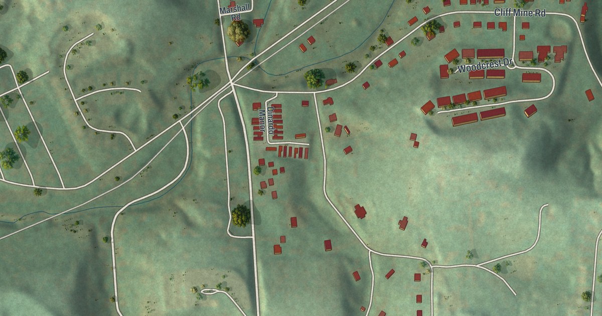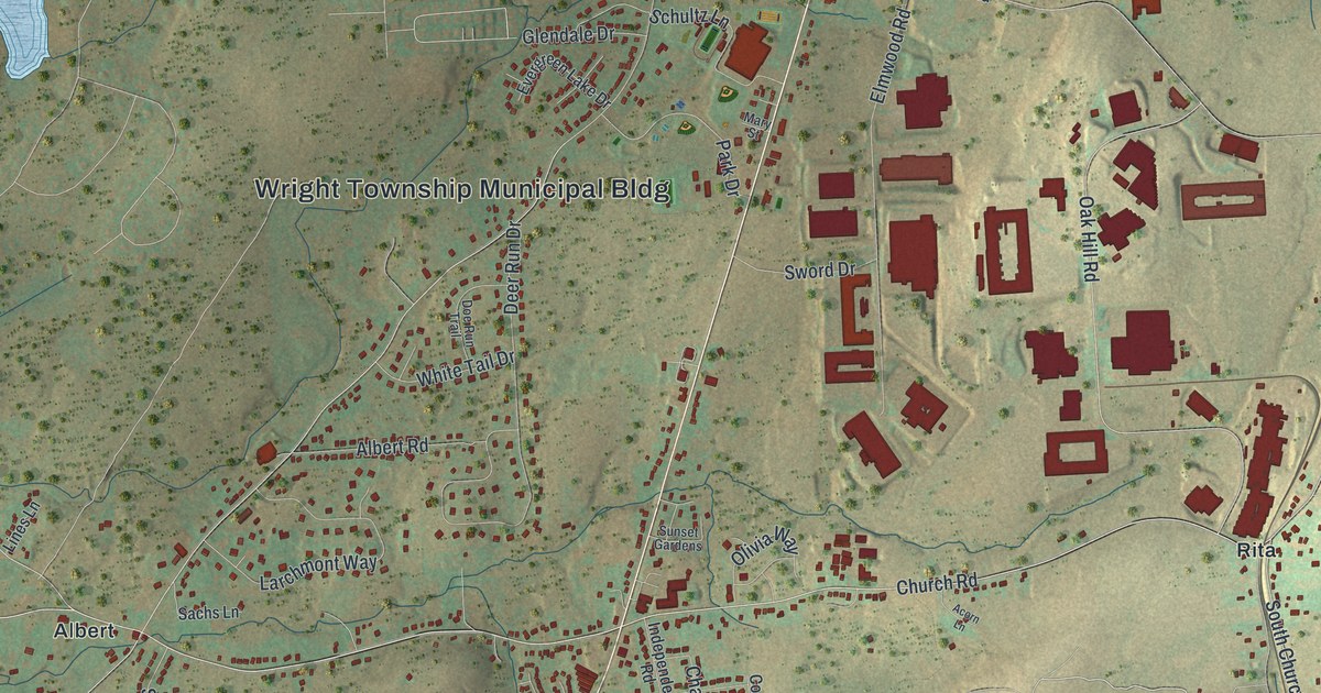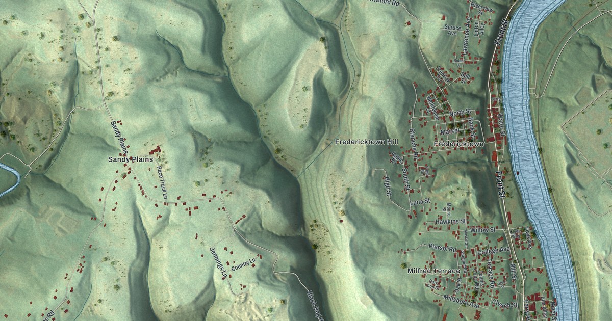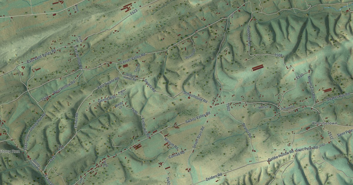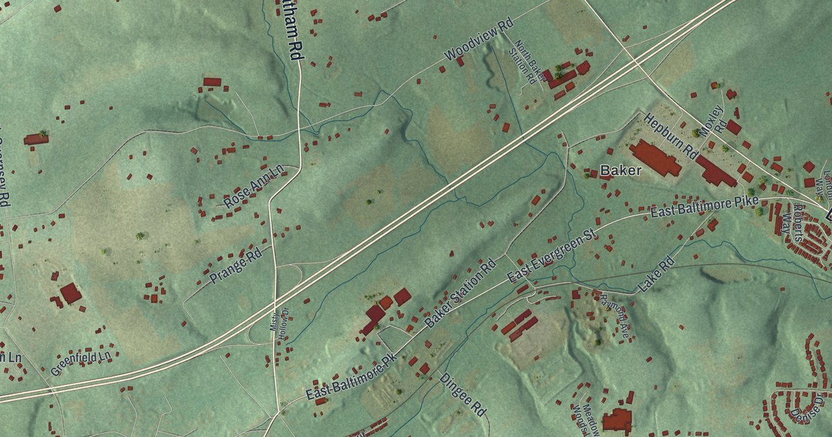
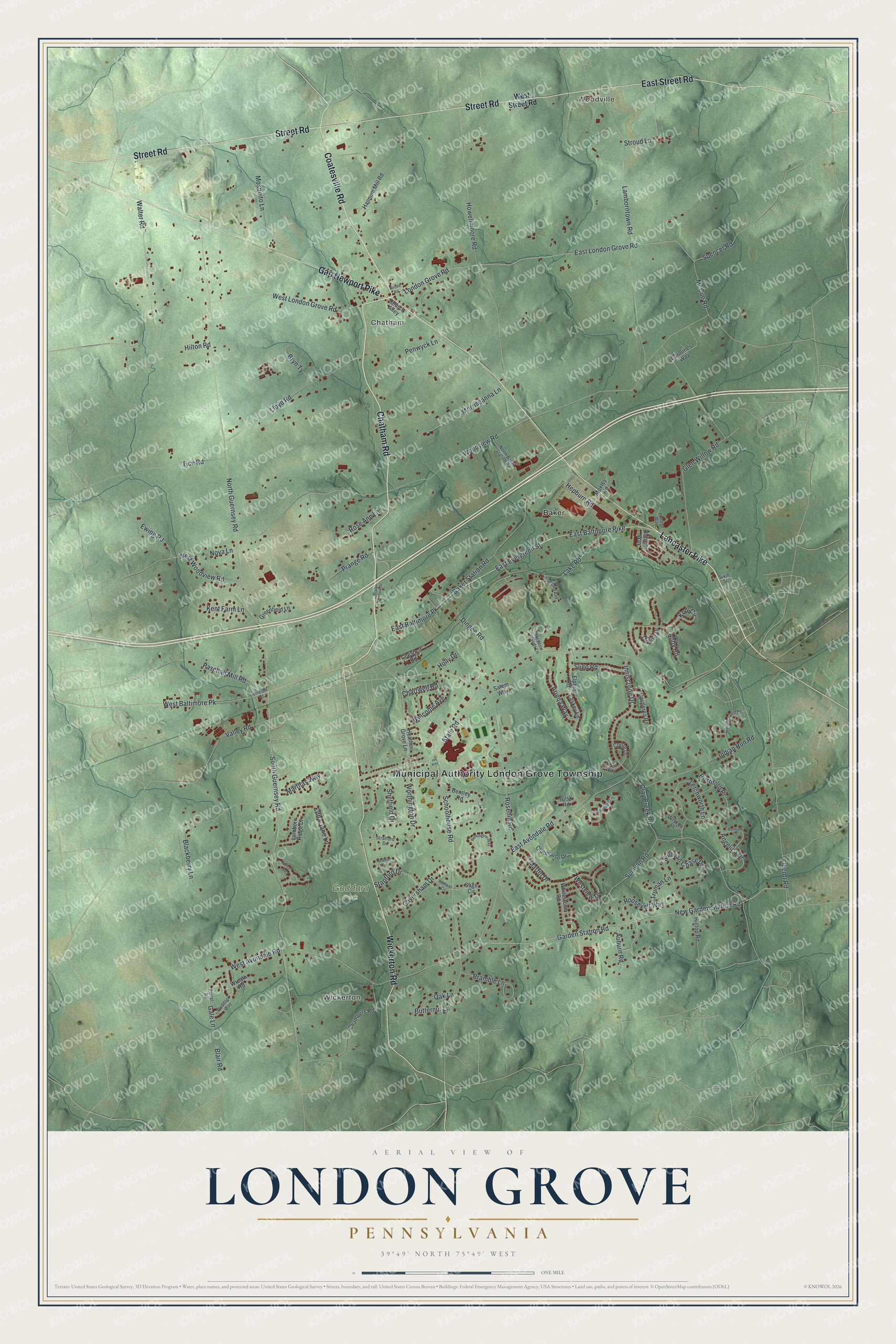
This beautifully detailed map of London Grove, Pennsylvania was created in 2026 using aerial imagery combined with modern topographical, census, street and landmark data. It’s a one-of-a-kind view of London Grove that combines accurate data with a vintage aesthetic. The map shows every building in its true location, many of the roads carry their names, and the shaded topographic relief shows the shape of the land.
Explore an aerial view of London Grove, Pennsylvania
On the map you’ll find Municipal Authority London Grove Township, Woodville, Wickerton, Chatham, Goddard Park, and Baker, along with Chatham Road, Lancaster Pike, Coatesville Road, East Street Road, Street Road, Gap Newport Pike, and more. If you look closely you can even find your house accurately drawn in its correct location. Zoom in on the preview to look for yours.
Did you know this piece of London Grove, Pennsylvania history?
In 1699, William Penn sold 60,000 acres to four men from London. They formed what was called the London Company. Its Chester County survey of 16,500 acres took in nearly all of London Grove. Many settlers were Quakers, such as the Pusey, Starr and Lamborn families, and many got deeds drawn up in England in 1723. That’s from the 1881 History or Chester County, Pennsylvania.
Take a closer look at the London Grove map
Street and place names on the London Grove, Pennsylvania map
These names are printed on the map of London Grove, Pennsylvania.
Places: Municipal Authority London Grove Township, Woodville, Wickerton, Chatham, Goddard Park and Baker.
Streets and roads: Chatham Road, Lancaster Pike, Coatesville Road, East Street Road, Street Road, Gap Newport Pike, Wickerton Road, East Evergreen Street, South Guernsey Road, East Baltimore Pike, London Grove Road, East London Grove Road.
More street names, A to Z
Abby Road, Angelica Drive, Arinqa Way, Auburn Road, Baker Station Road, Belmont Circle, Bentley Road, Blackberry Lane, Blair Road, Bramble Lane, Bryn Ty, Butternut Lane, Camberwell Drive, Carolines Way, Castlerea Road, Caversham Drive, Chambers Road, Chartwell Road, Chestnut Road, Church Alley, Clay Creek Road, Clubhouse Drive, Coote Drive, Denise Drive, Dingee Road, Easkey Lane, East Avondale Road, East Baltimore Pk, Edna Jane Lane, Ellicott Road, Elphin Road, Ewing Road, Finn Way, Gale Lane, Garden Station Road, Glen Willow Road, Greenfield Lane, Hannum Mill Road, Heather Grove Lane, Hepburn Road, Hilltop Road, Hilton Road, Holly Drive, Howellmoore Road, Indian Run Road, Inniscrone Drive, Kent Farm Lane, Kodi Circle, Lake Road, Lamborn Ridge Drive, Lamborntown Road, Letchworth Lane, Lincoln Street, Lloyd Road, London Way, Marthas Way, Martin Drive, McCue Road, McKean Circle, Meadow Woods Lane, Misty Hollow Drive, Morriseanna Lane, Mosquito Lane, Moxley Road, Nelson Road, New Garden Station Road, Newton Circle, North Baker Station Road, North Guernsey Road, Nova Lane, Oak Lane, Paddock Way, Paschall Mill Road, Penwyck Lane, Porter Road, Prange Road, Raymond Avenue, Remington Way, Roberts Way, Roosevelt Way, Rose Ann Lane, Rosehill Road, Rushford Place, Sage Circle, Salem Way, Schoolhouse Road, Sheffield Drive, Sixth Street, Sligo Road, Spencer Road, Stanford Drive, State Road, Stratford Drive, Strode Road, Stroud Lane, Sullivan Chase Drive, Sullivan Road, Tice Road, Truman Lane, Tulsk Road, Turnbridge Court, Valley Road, Walter Road, Welcome Avenue, West Avondale Road, West Baltimore Pk, West London Grove Road, West Street Road, Westview Drive, West Woodview Road, Whitestone Road, Wiscoy Place, Woodview Road, Worthington Drive, Wreath Road.
See the London Grove, Pennsylvania map on a wall
The London Grove map as an 18 x 24 inch print in a black frame.

This beautifully detailed map of London Grove makes an attractive addition to your office, library, or den, and it can even be used to teach children the geography and history of the area. It also makes a great gift for someone who left London Grove and still calls it home. When you’re done exploring, click here to get your copy of the London Grove map.