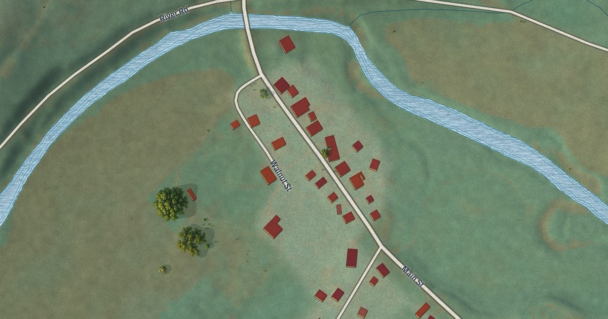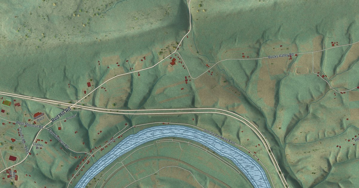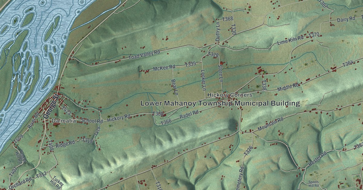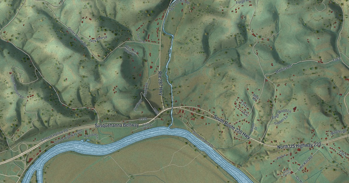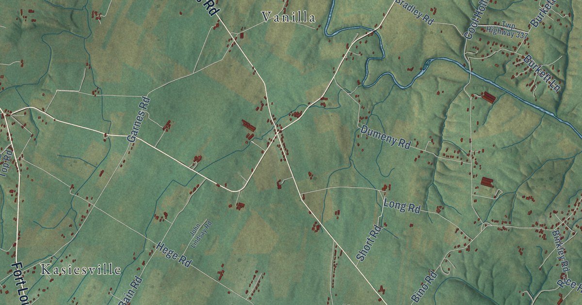
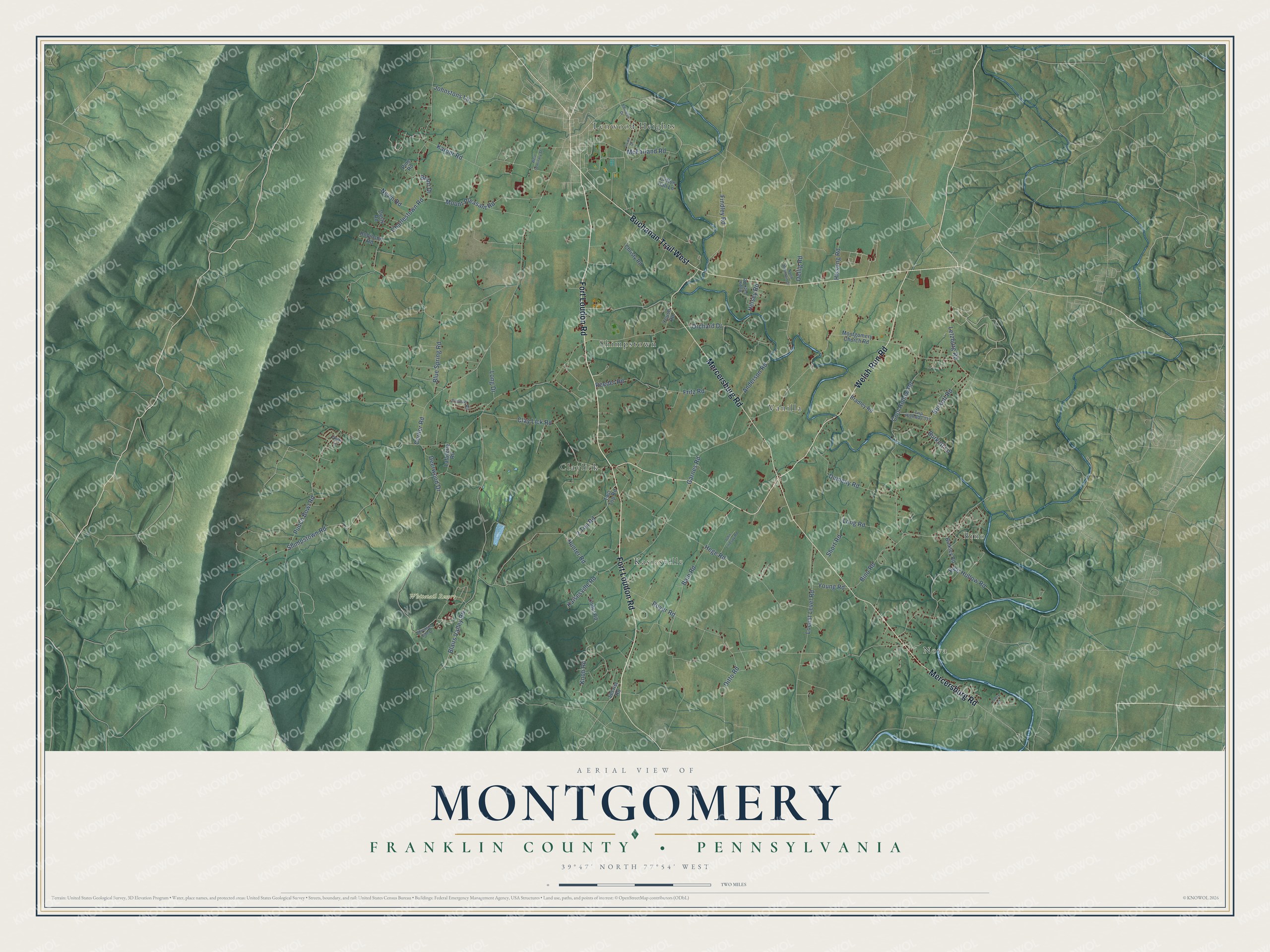
This beautifully detailed map of Montgomery, Franklin County, Pennsylvania was created in 2026 using aerial imagery combined with modern topographical, census, street and landmark data. It’s a one-of-a-kind view of Montgomery that combines accurate data with a vintage aesthetic. The map shows every building in its true location, many of the roads carry their names, and the shaded topographic relief shows the shape of the land.
Explore an aerial view of Montgomery, Franklin County, Pennsylvania
On the map you’ll find Nova, Bino, Whitetail Resort, Claylick, Kasiesville, Lenwood Heights, Shimpstown, and Vanilla, along with Fort Loudon Road, Mercersburg Road, Welsh Run Road, Buchanan Trail West, and more. If you look closely you can even find your house accurately drawn in its correct location. Zoom in on the preview to look for yours.
Did you know this piece of Montgomery, Franklin County, Pennsylvania history?
Montgomery Township was named for Richard Montgomery, a general of the American Revolution. Several historic places in the township are on the National Register of Historic Places, among them Millmont Farm, Rock Hill Farm and the Hays Bridge Historic District.
Take a closer look at the Montgomery, Franklin County map
Street and place names on the Montgomery, Franklin County, Pennsylvania map
These names are printed on the map of Montgomery, Franklin County, Pennsylvania.
Places: Nova, Bino, Whitetail Resort, Lenwood Heights, Shimpstown, Kasiesville, Vanilla and Claylick.
Streets and roads: Fort Loudon Road, Mercersburg Road, Welsh Run Road, Buchanan Trail West, Shimpstown Road, Garnes Road, Corner Road, Royer Road, Blairs Valley Road, Charlestown Road, Hunter Road, Rice Hollow Road.
More street names, A to Z
2 Top Road, Anderson Road, Anne Lane, Apple Jack Road, Bain Road, Binkley Road, Bino Road, Blue Spring Road, Bradley Road, Brant Drive, Burkett Lane, Burkett Road, Christy Road, Clay Lick Road, Clifton Hall Lane, Cool Hollow Road, Deerwood Drive, Ditto Road, Dumeny Road, Dusty Road, Edwards Drive, Findley Road, Fritz Road, Hege Road, Heisey Road, Hissong Road, Irvine Drive, John Lindsay Road, Johnstons Lane, Kaisesville Road, Karper Road, Knob Road, Lafayette Road, Letzburg Road, Lindot Road, Locust Level Road, Long Drive, Long Road, Lowry Drive, McFarland Road, Montgomery Church Road, Mountain Side Drive, Mount Pleasant Road, Nevin Road, North Mountain Drive, Oellig Road, Orchard Drive, Pine Road, Pittman Road, Punch Bowl Road, Reeder Road, Robinson Road, Secrist Road, Short Road, Two Top Road, Twp Highway 337, West Seminary Street, Young Road, Youse Road.
See the Montgomery, Franklin County, Pennsylvania map on a wall
The Montgomery, Franklin County map as an 18 x 24 inch print in a black frame.

This beautifully detailed map of Montgomery, Franklin County makes an attractive addition to your office, library, or den, and it can even be used to teach children the geography and history of the area. It also makes a great gift for anyone with Montgomery roots. When you’re done exploring, click here to get your copy of the Montgomery, Franklin County map.