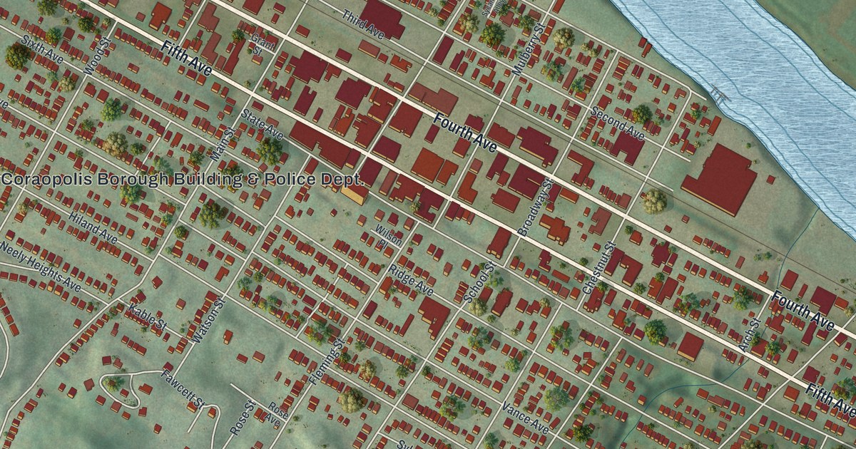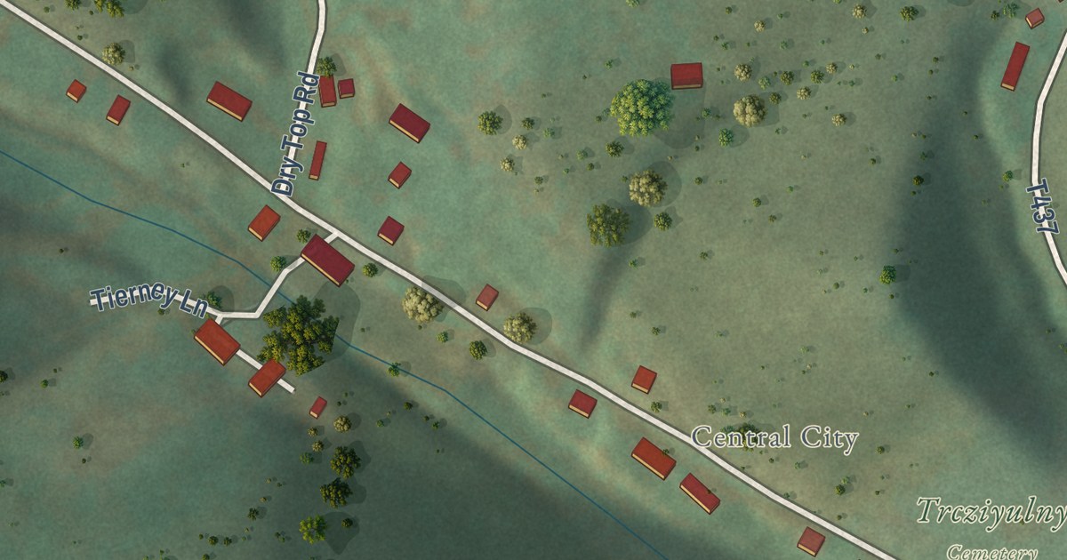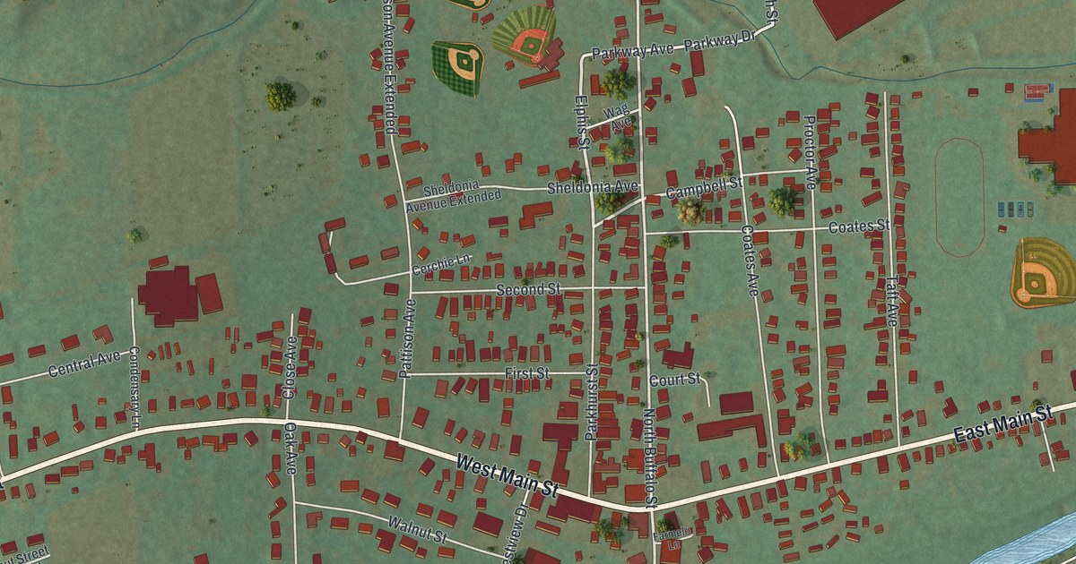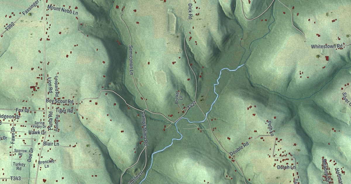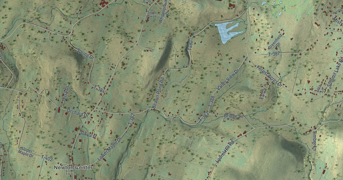
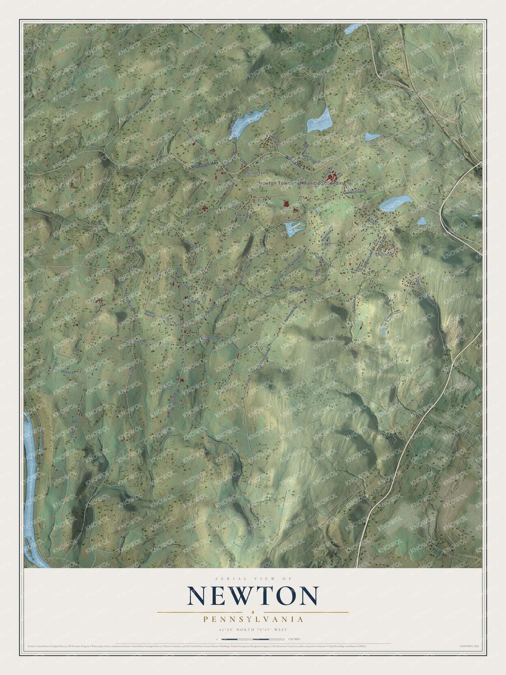
This beautifully detailed map of Newton, Pennsylvania was created in 2026 using aerial imagery combined with modern topographical, census, street and landmark data. It’s a one-of-a-kind view of Newton that combines accurate data with a vintage aesthetic. The map shows every building in its true location, many of the roads carry their names, and the shaded topographic relief shows the shape of the land.
Explore an aerial view of Newton, Pennsylvania
On the map you’ll find Newton Township Municipal Building, Newton Center, Schultzville, and T-383, along with Roosevelt Highway, Winola Road, Laurel Hill Road, Bridge Lane, Forest Acres Drive, Upper Narrows Road, Falls Road, Country Club Road, and more. If you look closely you can even find your house accurately drawn in its correct location. Zoom in on the preview to look for yours.
Did you know this piece of Newton, Pennsylvania history?
From the 1880 History of Luzerne, Lackawanna, and Wyoming Counties, Pennsylvania: "A farm of 500 acres (considered the largest and most productive in the county) is worked in connection with the tannery; over 300 tons of hay are cut annually besides other crops."
Take a closer look at the Newton map
Street and place names on the Newton, Pennsylvania map
These names are printed on the map of Newton, Pennsylvania.
Places: Newton Township Municipal Building, Newton Center and Schultzville.
Streets and roads: Roosevelt Highway, Winola Road, Laurel Hill Road, Bridge Lane, Forest Acres Drive, T-383, Upper Narrows Road, Falls Road, Country Club Road, Airport Drive, T-389, Port Royal Road.
More street names, A to Z
Bald Mountain Road, Beaver Pond Road, Camelot Drive, Cherry Hill Road, Church Hill Road, Columbus Circle, Cummings Pond Road, Davinci Lane, Earl Drive, Fords Pond Road, Gravel Pond Road, Greenfield Drive, Haverford Drive, Hickory Lane, Hillside Drive, Hilltop Drive, Kimberly Circle, Lisa Lane, Lower Maple Drive, Marshwood Bend, Milwaukee Road, Misty Lane, Newton Ransom Boulevard, Newton Road, Orchard Drive, Saint Hospital, Scenic Drive, School Street, Silver Fox Lane, Spring Drive, Summit Lake Road, T-370, T-374, T-380, T-381, T-382, T-384, T-387, T-388, T-392, T-401, T-402, Terra Drive, Thompson Farms Road, Timber Lane, Upper Maple Drive, Valley View Drive, West Grove Street, Whippoorwill Drive, Willow Drive.
See the Newton, Pennsylvania map on a wall
The Newton map as an 18 x 24 inch print in a black frame.

This beautifully detailed map of Newton makes an attractive addition to your office, library, or den, and it can even be used to teach children the geography and history of the area. It also makes a great gift for anyone with Newton roots. When you’re done exploring, click here to get your copy of the Newton map.