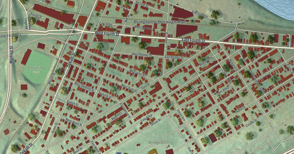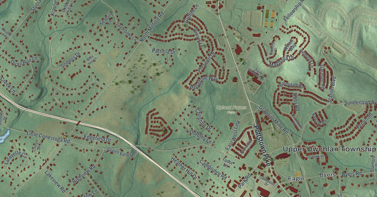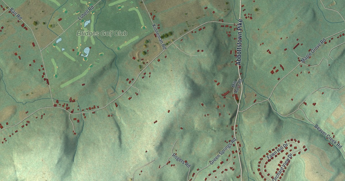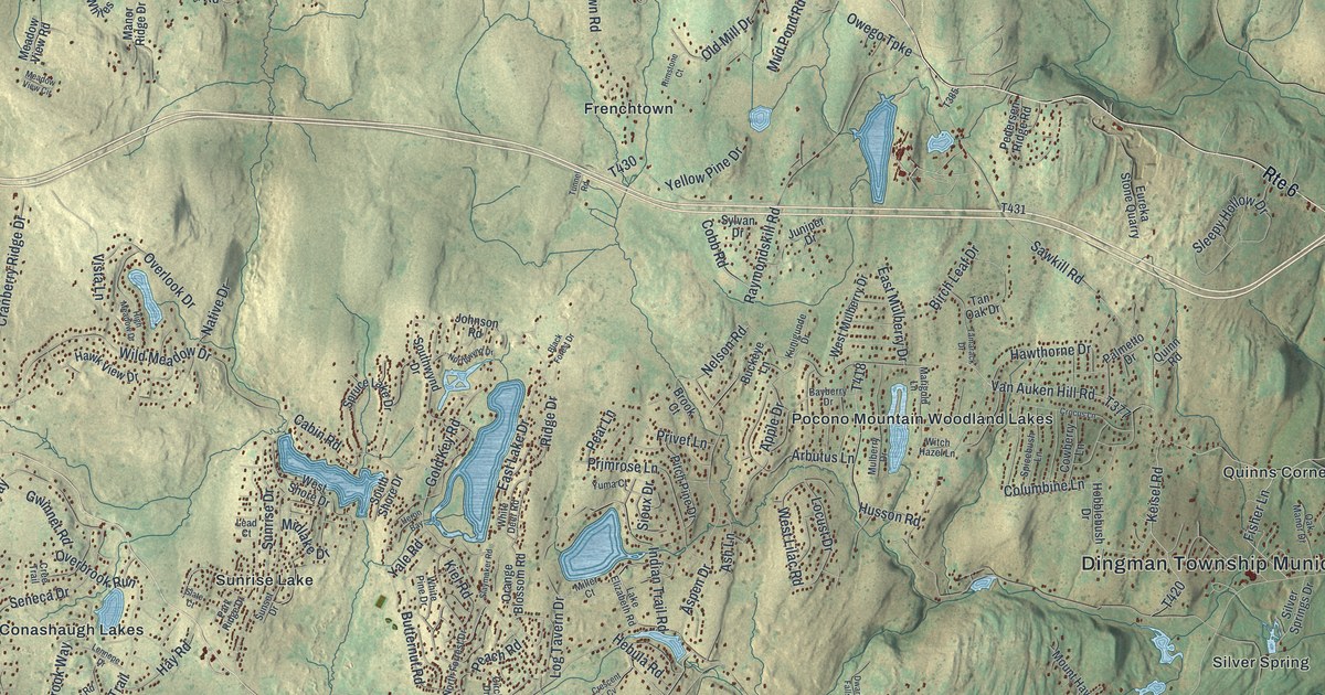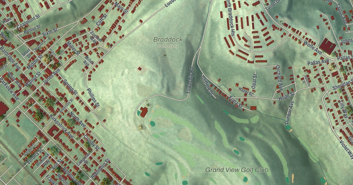
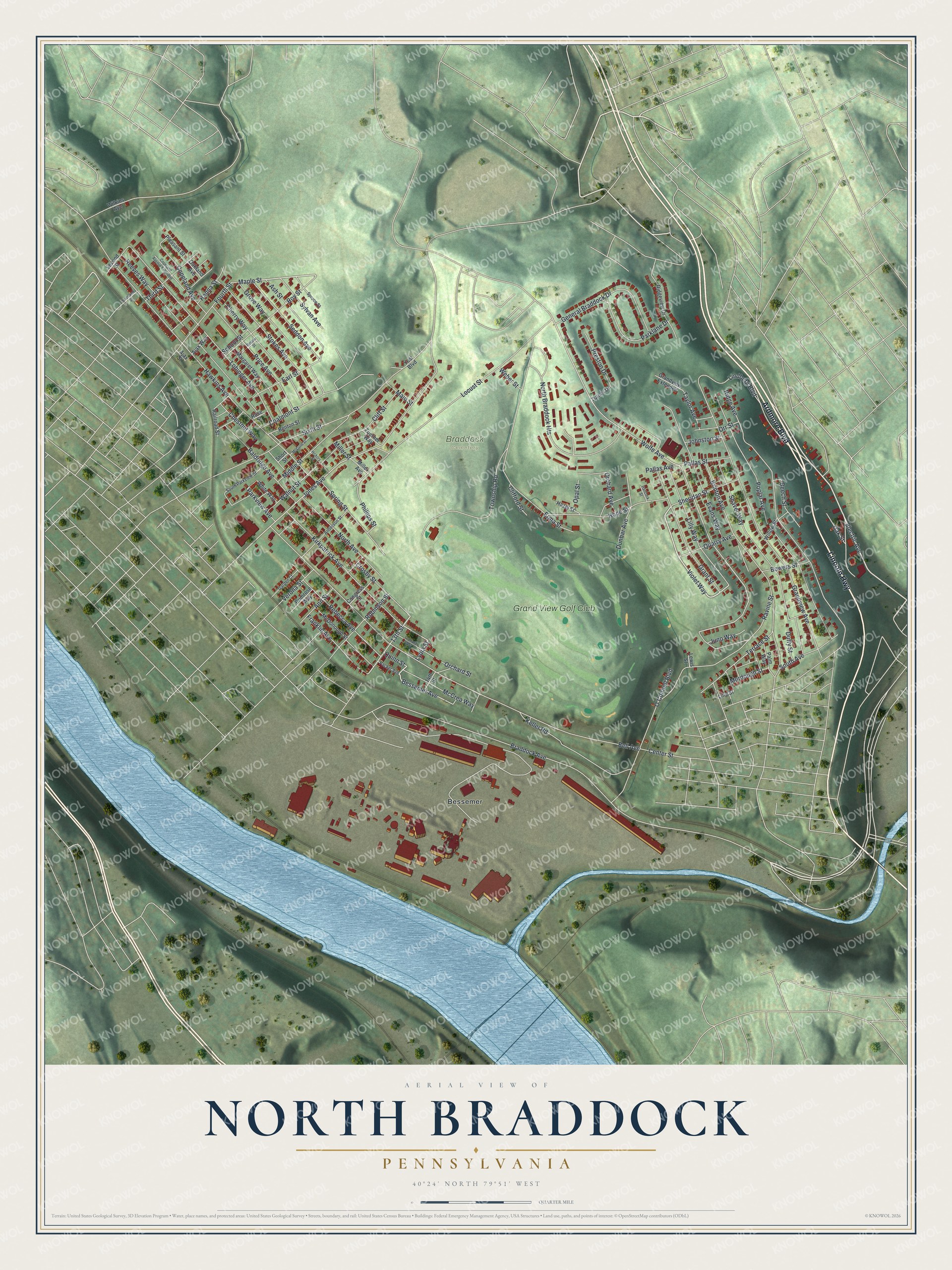
This beautifully detailed map of North Braddock, Pennsylvania was created in 2026 using aerial imagery combined with modern topographical, census, street and landmark data. It's a modern aerial view of North Braddock in Allegheny County, Pennsylvania, that combines modern data with a vintage aesthetic. The roads feature printed names, and if you look closely you can find your exact house accurately shown in its correct location.
Explore an aerial view of North Braddock, Pennsylvania
On this map you'll find Braddock Cemetery, Bessemer, Grand View Golf Club, Ardmore Boulevard, Lincoln Highway, Electric Avenue, Violet Way, 13th Street, Lydia Street, Maple Street, Kirkpatrick Avenue, Wolfe Avenue, and more. Each red shape is a building, so zoom in on the preview and look for yours.
Here is a piece of North Braddock history, in the words of the record. The record at data.pa.gov puts it this way: "World's first commercial station began operating November 2, 1920, when KDKA reported Harding-Cox election returns from a makeshift studio at the East Pittsburgh Works of Westinghouse."
North Braddock is a borough in Allegheny County. The Census Bureau counted 4,320 people here in 2020.
Take a closer look at the North Braddock map
Names on this map
These names are printed on this map.
Places: Braddock Cemetery, Bessemer and Grand View Golf Club.
Streets and roads: Ardmore Boulevard, Lincoln Highway, Electric Avenue, Violet Way, 13th Street, Lydia Street, Maple Street, Kirkpatrick Avenue, Wolfe Avenue, Jones Avenue, Bessemer Avenue, Miller Street.
More street names, A to Z
14th Street, Ajax Street, Ajax Way, Anderson Street, Ann Street, Ash Street, Baldridge Avenue, Beech Street, Bell Avenue, Benton Street, Bessie Street, Bowers Street, Braddock Avenue, Brinton Avenue, Center Street, Cherry Way, Chestnut Way, Clifford Street, Cliff Street, Coalmont Street, Congress Street, Copeland Avenue, Copeland Avenue Extended, Crosby Street, Duffy Street, Dunbar Avenue, Earl Street, Erma Street, Evans Way, Fourth Street, Franklin Avenue, Garden Court, General Braddock Drive, Grandview Avenue, Grandview Extended, Grant Street, Grove Way, Hancock Street, Hanna Street, Hawkins Avenue, Hazel Street, Hickory Street, Hope Street, Johnston Street, Juno Way, Keller Road, Lewis Street, Lilly Way, Lindberg Boulevard, Line Street, Lobinger Avenue, Locust Street, Main Street, Margaret Way, McCrea Way, McCune Street, McDonough Street, Middle Street, Miller Avenue, Murdough Street, North Avenue, North Braddock Heights, O'Connell Boulevard, Oakland Avenue, Oak Street, Opal Street, Orchard Avenue, Orchard Street, Orchard Way, Orr Street, Overland Street, Packer Avenue, Pallas Avenue, Pallas Street, Palm Way, Parklane Drive, Parkview Avenue, Phillips Street, Pleasant Street, Poplar Avenue, Preston Drive, Price Avenue, Primrose Way, Quarry Avenue, Quinn Street, Railroad Street, Ravine Street, Rebecca Avenue, Reeves Way, Ridge Avenue, Ridgeview Drive, Robinson Street, Rose Street, Roy Street, School Street, Second Street, Seddon Avenue, Shaver Way, Sheridan Street, Short Street, Sixth Street, South Avenue, South Parkview Street, Spring Street, Spruce Street, Stokes Avenue, Sylvan Avenue, Taylor Avenue, Terrace Street, Third Street, Township Road, Turner Drive, Verona Street, Walnut Street, Weber Street, White Way, Wilkins Avenue, Willow Street, Yost Boulevard, Zuerner Way.
Created by KNOWOL in 2026. The buildings are small red shapes, the roads carry their printed names, and shaded relief shows the shape of the land. The title panel reads "AERIAL VIEW OF NORTH BRADDOCK PENNSYLVANIA" with 4, 0, °, 2, 4, ', , N, O, R, T, H, , 7, 9, °, 5, 1, ', , W, E, S, T.
It suits a den, a classroom or a front hall, and it makes a gift for anyone with North Braddock roots. Open the preview and find the block you know. See sizes and frames for the North Braddock map.