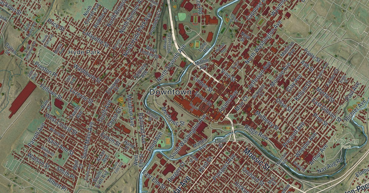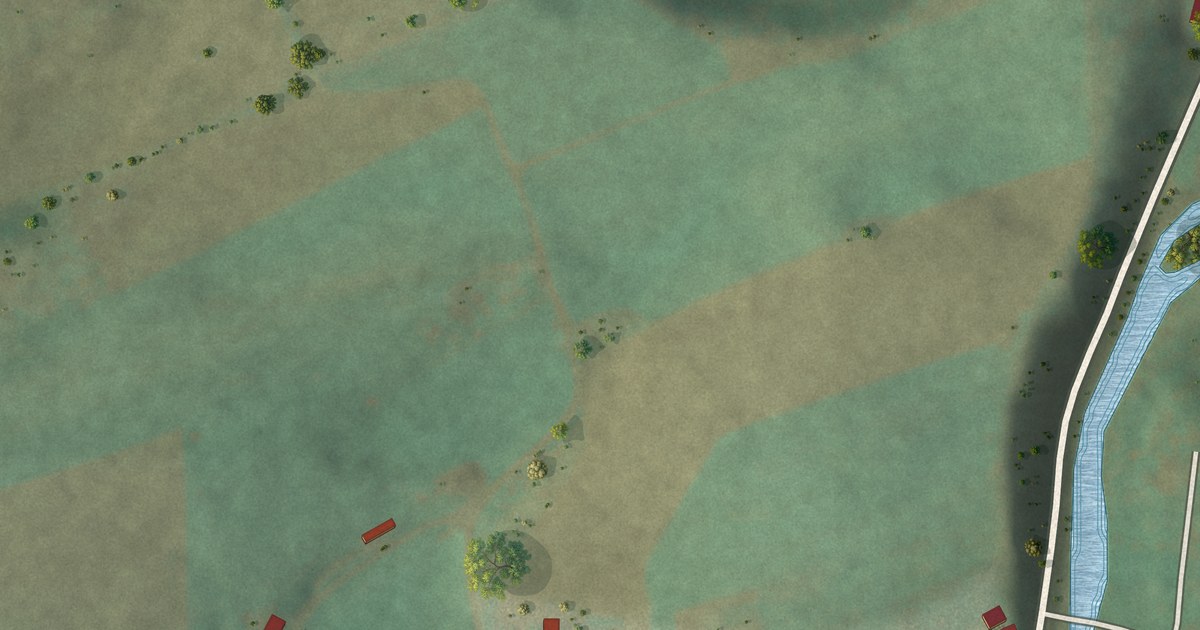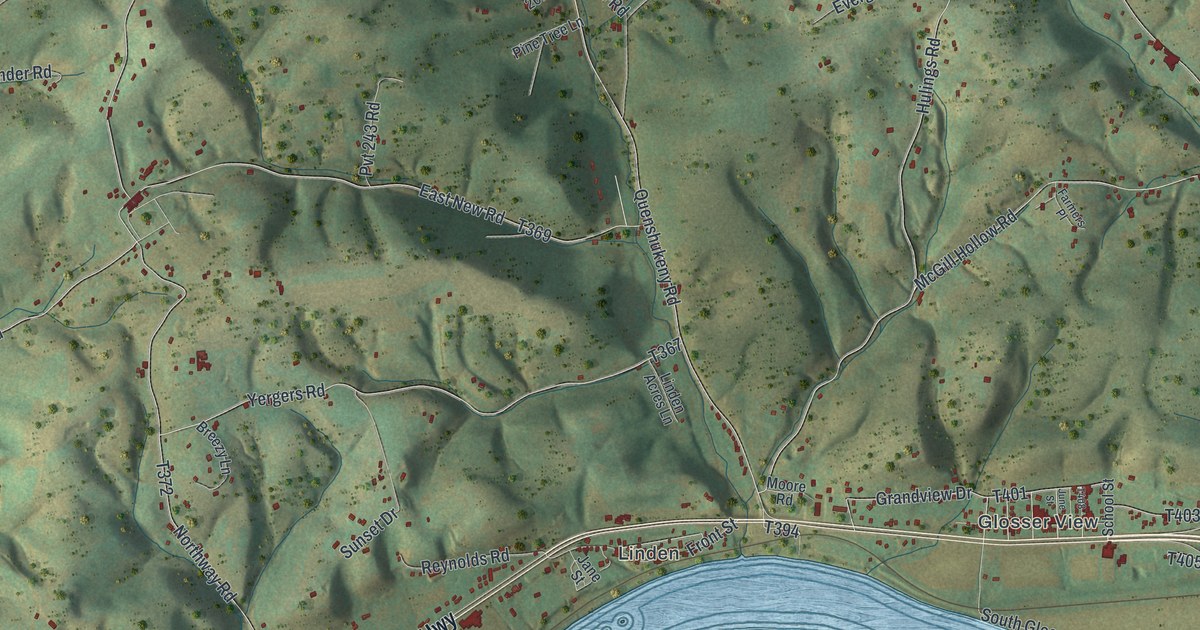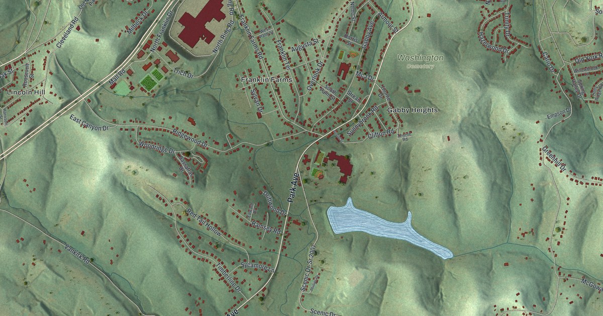
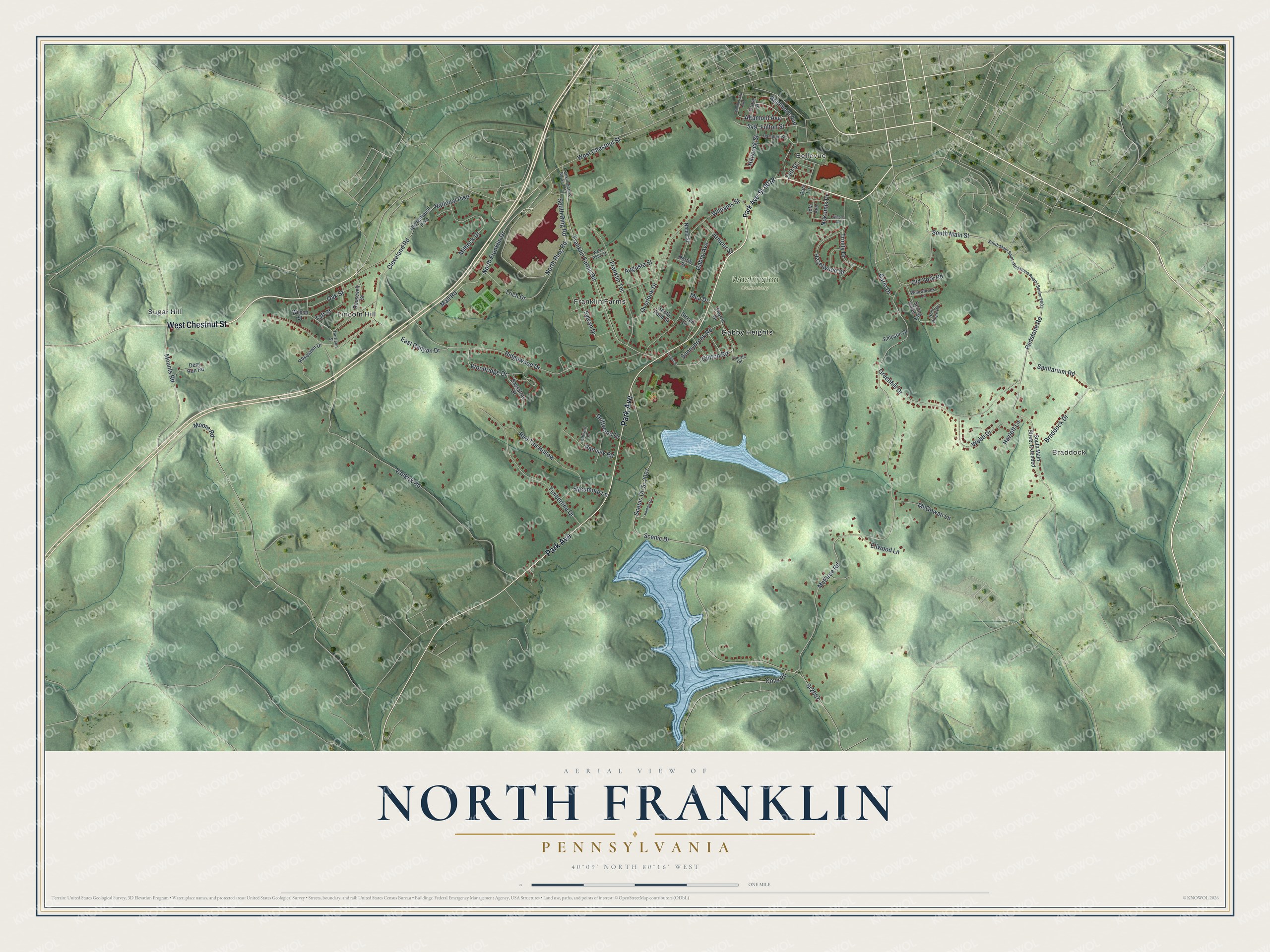
This beautifully detailed map of North Franklin, Pennsylvania was created in 2026 using aerial imagery combined with modern topographical, census, street and landmark data. It’s a one-of-a-kind view of North Franklin that combines accurate data with a vintage aesthetic. The map shows every building in its true location, many of the roads carry their names, and the shaded topographic relief shows the shape of the land.
Explore an aerial view of North Franklin, Pennsylvania
On the map you’ll find Braddock, Bellevue, Washington Cemetery, Franklin Farms, Gabby Heights, Lincoln Hill, and Sugar Hill, along with Park Avenue, West Chestnut Street, North Franklin Drive, Mall Road, Mounts Road, and more. If you look closely you can even find your house accurately drawn in its correct location. Zoom in on the preview to look for yours.
Did you know this piece of North Franklin, Pennsylvania history?
From the Pennsylvania Historical and Museum Commission: "This crematory, the first in the United States, was built in 1876 by Dr. Francis LeMoyne. From 1876 to 1900, there were 42 cremations. Dr. LeMoyne lies buried here."
Take a closer look at the North Franklin map
Street and place names on the North Franklin, Pennsylvania map
These names are printed on the map of North Franklin, Pennsylvania.
Places: Braddock, Bellevue, Washington Cemetery, Franklin Farms, Gabby Heights, Lincoln Hill and Sugar Hill.
Streets and roads: Park Avenue, West Chestnut Street, North Franklin Drive, Mall Road, Mounts Road, McElree Road, Scenic Drive, South Main Street, North Ring Road, South Ring Road, Cario Drive, Redstone Road.
More street names, A to Z
Altamont Avenue, Armour Street, Arnold Street, Augusta Street, Baltimore Avenue, Braddock Drive, Cleveland Road, Clifton Road, Cove Road, Cumberland Avenue, Deer Run Road, Dorris Street, Driftwood Drive, East Canyon Drive, Edward Drive, Ellwood Lane, Empson Drive, Franklin Farms Rd-Sr 3013, Franklin Farms Road, Franklin Terrace, Fulton Street, Gabby Avenue, Greenhill Drive, Grove Street, Hamilton Street, Hancock Street, Harrison Street, Hazelwood Drive, Hazlett Lane, Holly Ridge Road, Iola Avenue, McGowan Lane, McJ Drive, Milbeck Drive, Moore Road, National Pike, Nemo Street, Nokomis Drive, Oak Street, Old National Pike, Old York Road, Overlook Drive, Park Ave-Sr 0018, Park Lane, Phillips Drive, Ramsey Road, Red Tail Hollow, Ridgewood Drive, Roosevelt Street, Roselawn Drive, Sanitarium Road, Sassafras Drive, Scenic Dr-Sr 2007, South Main Street Extended, South Palm Street, Spring Valley Drive, Sr2007, Strean Street, Sunnybrook Road, Sycamore Lane, Sylvan Drive, Taft Street, Thorne Drive, Thorne Road, Timberline Drive, Trich Drive, Trinity Drive, Vankirk Road, Webb Drive, West Palm Street, Williams Street, Willowbrook Lane, Wilson Street, Winona Avenue, Woodridge Drive, Zelt Street.
See the North Franklin, Pennsylvania map on a wall
The North Franklin map as an 18 x 24 inch print in a black frame.

This beautifully detailed map of North Franklin makes an attractive addition to your office, library, or den, and it can even be used to teach children the geography and history of the area. It also makes a great gift for anyone who grew up in North Franklin or moved away. When you’re done exploring, click here to get your copy of the North Franklin map.