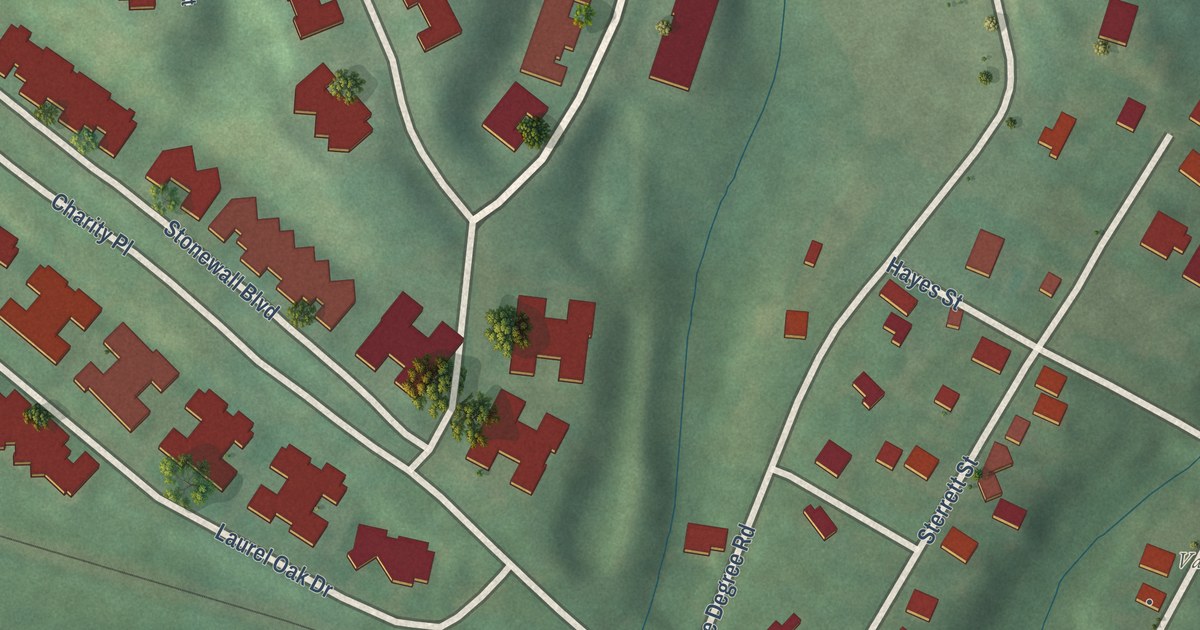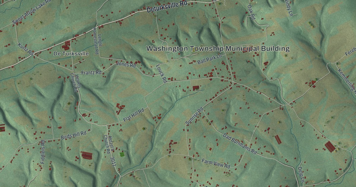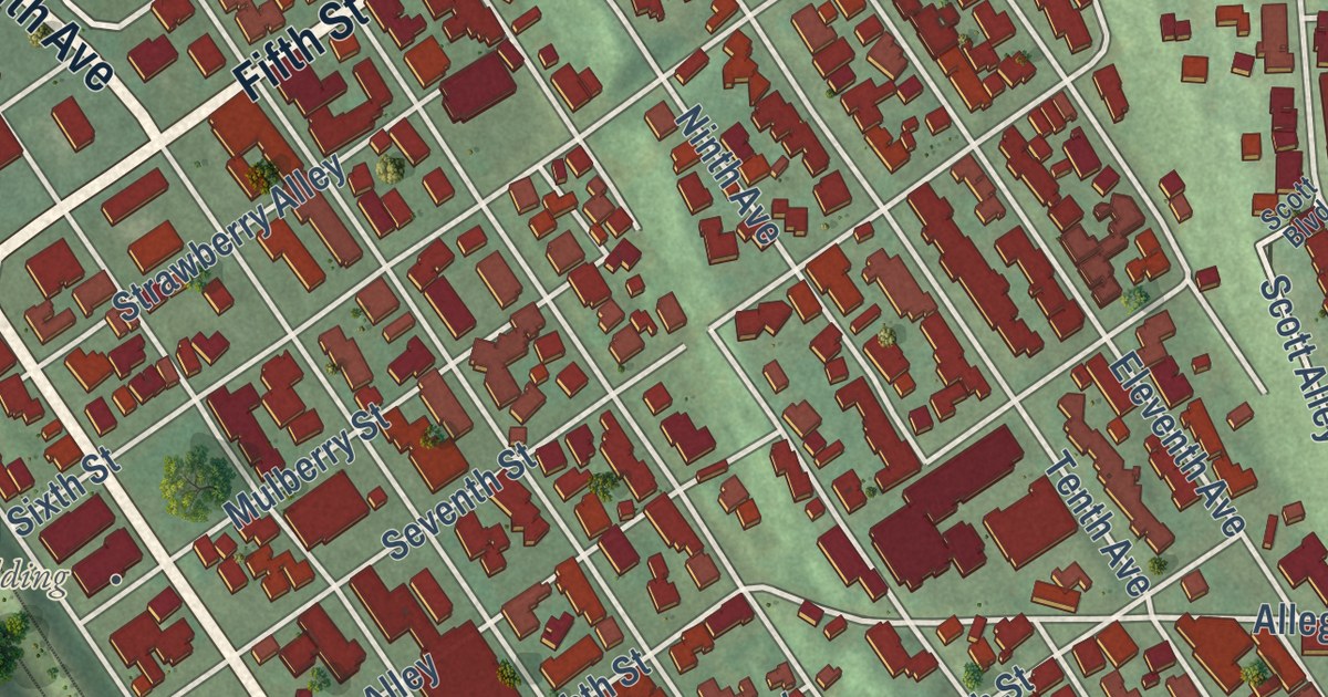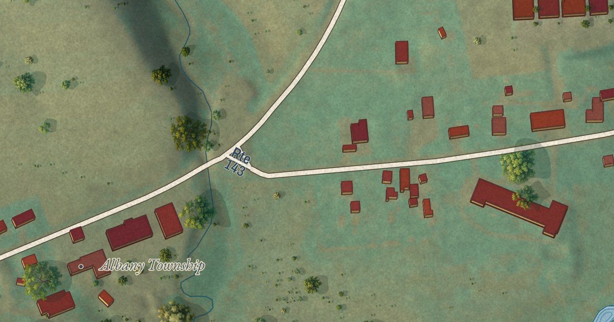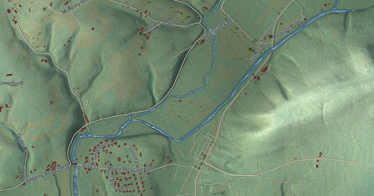
This beautifully detailed map of Orange, Pennsylvania was created in 2026 using aerial imagery combined with modern topographical, census, street and landmark data. It’s a one-of-a-kind view of Orange that combines accurate data with a vintage aesthetic. The map shows every building in its true location, many of the roads carry their names, and the shaded topographic relief shows the shape of the land.
Explore an aerial view of Orange, Pennsylvania
On the map you’ll find Logging Road 19030, along with Main Street, McHenry Hill Road, Green Creek Road, Mount Pleasant Road, Montague Hollow Road, and more. If you look closely you can even find your house accurately drawn in its correct location. Zoom in on the preview to look for yours.
Did you know this piece of Orange, Pennsylvania history?
Abram Kline came from New Jersey about 1785 with his wife and grown sons, bound for Knob Mountain. They camped under a white oak where Green Creek meets Fishing Creek. The family lived in wagons and a tent that first summer, until a cabin was built. The nearest mill was at Sunbury, 35 miles away. That’s from the 1887 History of Columbia and Montour Counties, Pennsylvania.
Take a closer look at the Orange map
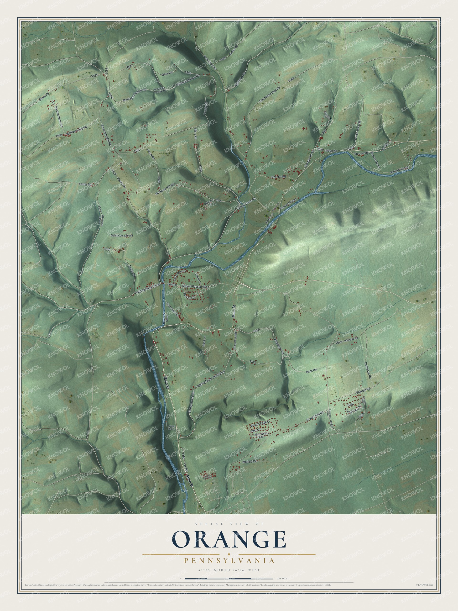
Street names on the Orange, Pennsylvania map
These names are printed on the map of Orange, Pennsylvania.
Streets and roads: Main Street, McHenry Hill Road, Green Creek Road, Logging Road 19030, Mount Pleasant Road, Sr4020, Montague Hollow Road, Draketown Road, Bowmans Mill Road, Rohrsburg Road, Kline Road, Hartman Hollow Road.
More street names, A to Z
Arc Road, Bartholomew Road, Belles Road, Black Road, Buck Road, Charmund Road, Circle Drive, Conner Lane, Country Lane West, Crouse Hollow Road, Deihls Road, Diehls Campground, Dietterick Hill Road, Dietterick Road, Eckroth Road, Evans Lane, Fester Road, Gass Road, Gearhart Lane, Hacks Road, Hazel Lee Lane, Hess Lane, Lee Road, Lodge Road, Logging Road 19034 East, Long View Drive, Mallard Drive, Martenas Road, Megargell Road, Montaque Hollow Road, Moores Grove, Moores Road, Neyhart Road, Norman's Grove, North Pole Road, Oman Road, Pleasant Pines, Roberts Grove, Sandy Stone Drive, Savage Hill Road, Savage Hollow Road, Sponenberg Hill Road, Sportsman Club Road, Stoney Brook Road, Stony Brook Road, T-810, Trump Road, Vantage Drive, Welliversville Road, West Woods Edge Drive, Whitmire Road, Williams Lane, Woods Edge Drive.
See the Orange, Pennsylvania map on a wall
The Orange map as an 18 x 24 inch print in a black frame.

This beautifully detailed map of Orange makes an attractive addition to your office, library, or den, and it can even be used to teach children the geography and history of the area. It also makes a great gift for someone who left Orange and still calls it home. When you’re done exploring, click here to get your copy of the Orange map.