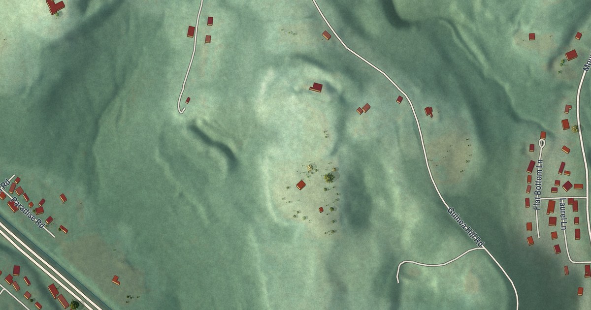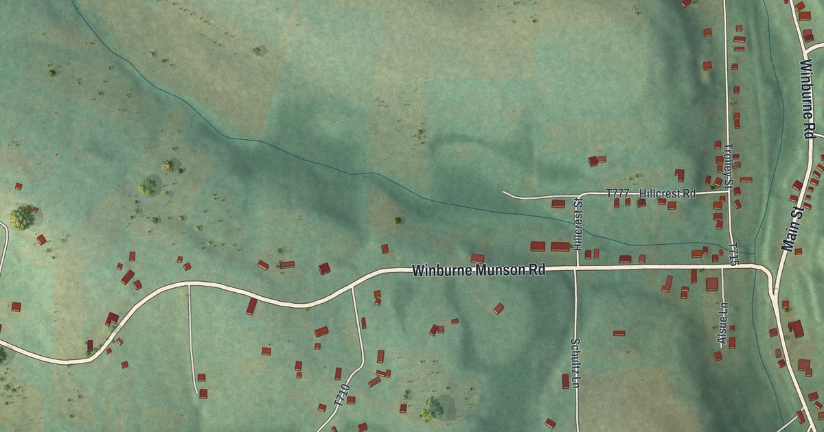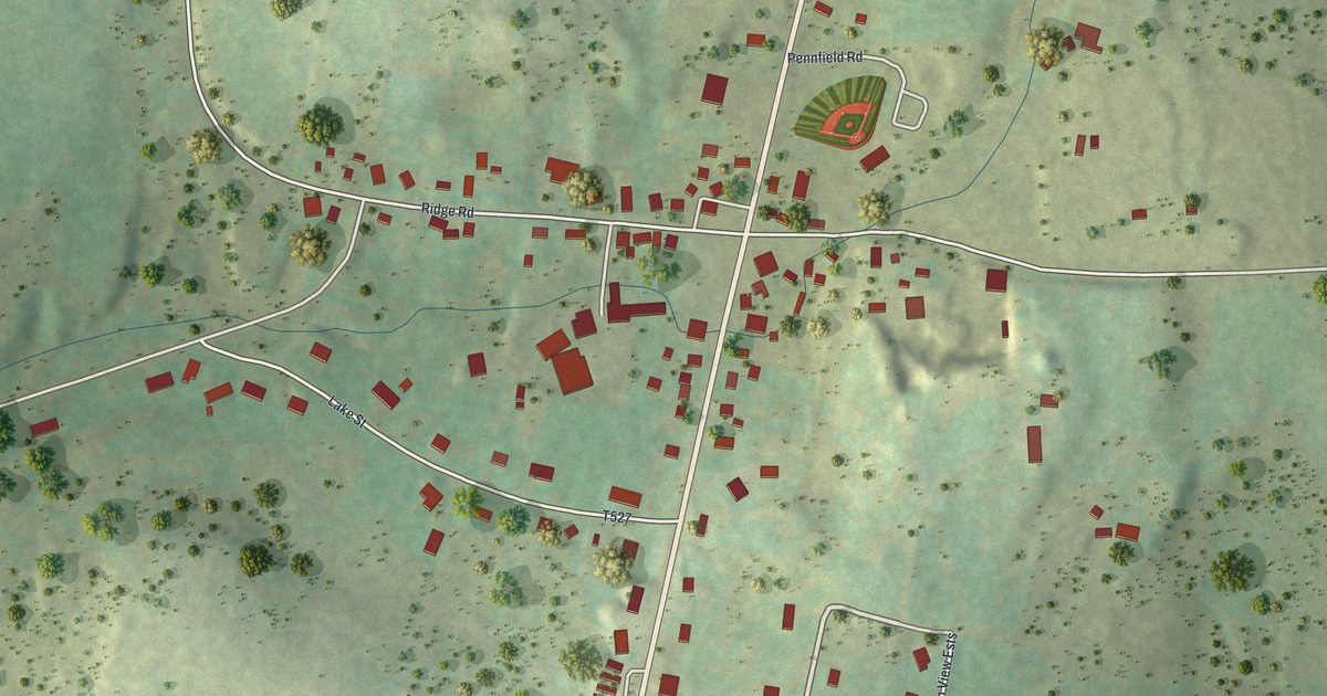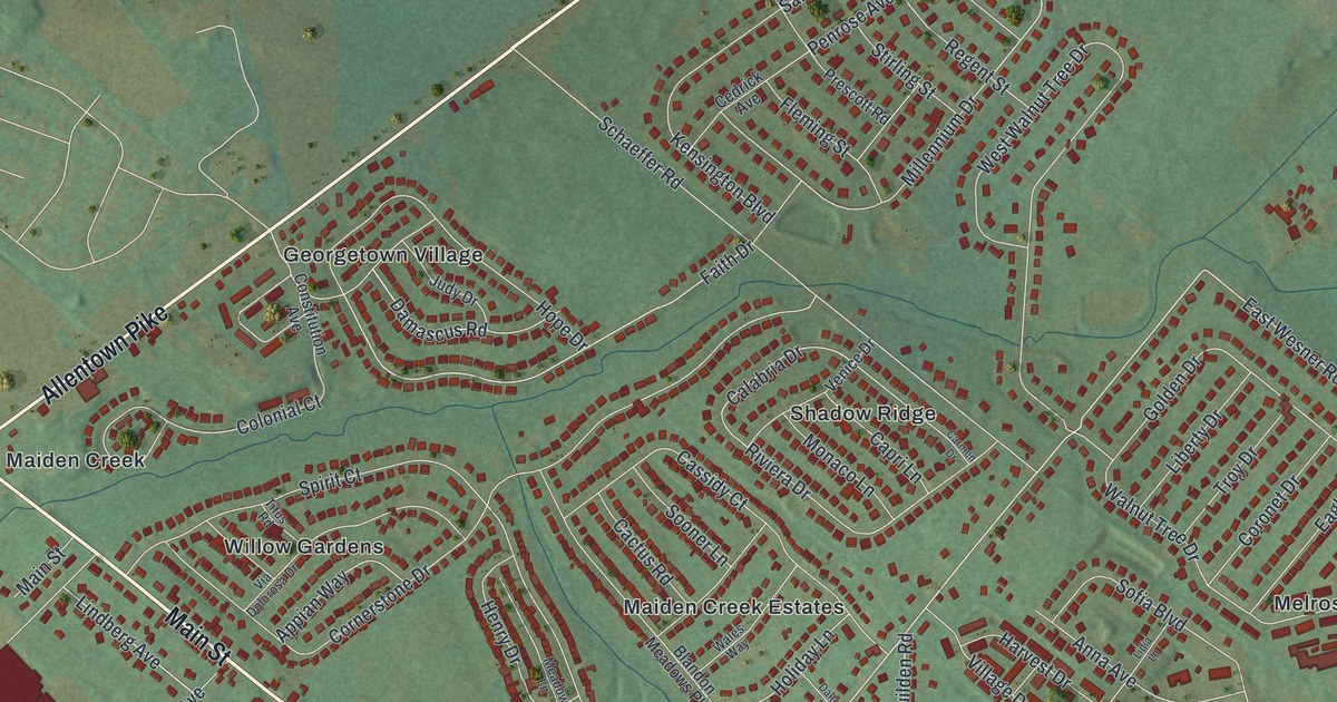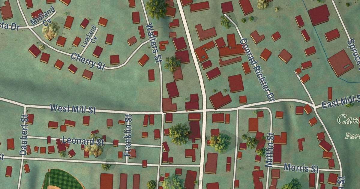
This beautifully detailed map of Pine Grove Borough, Schuylkill County, Pennsylvania was created in 2026 using aerial imagery combined with modern topographical, census, street and landmark data. It’s a one-of-a-kind view of Pine Grove Borough that combines accurate data with a vintage aesthetic. The map shows every building in its true location, many of the roads carry their names, and the shaded topographic relief shows the shape of the land.
Explore an aerial view of Pine Grove Borough, Schuylkill County, Pennsylvania
On the map you’ll find Pine Grove Municipal Building, Saint John’s Lutheran Cemetery, and Canal Park, along with North Tulpehocken Street, South Tulpehocken Street, East Pottsville Street, East Wood Street, East Mill Street, West Mill Street, Locust Street, Penn-Dye Street, Dohner Street, and more. If you look closely you can even find your house accurately drawn in its correct location. Zoom in on the preview to look for yours.
Did you know this piece of Pine Grove Borough, Schuylkill County, Pennsylvania history?
From the 1881 History of Schuylkill County, Pennsylvania: "A tavern, known as the Red tavern, was opened as early as 1790 at North Pine Grove, by John and Solomon Albright, who were early settlers there."
Take a closer look at the Pine Grove Borough, Schuylkill County map
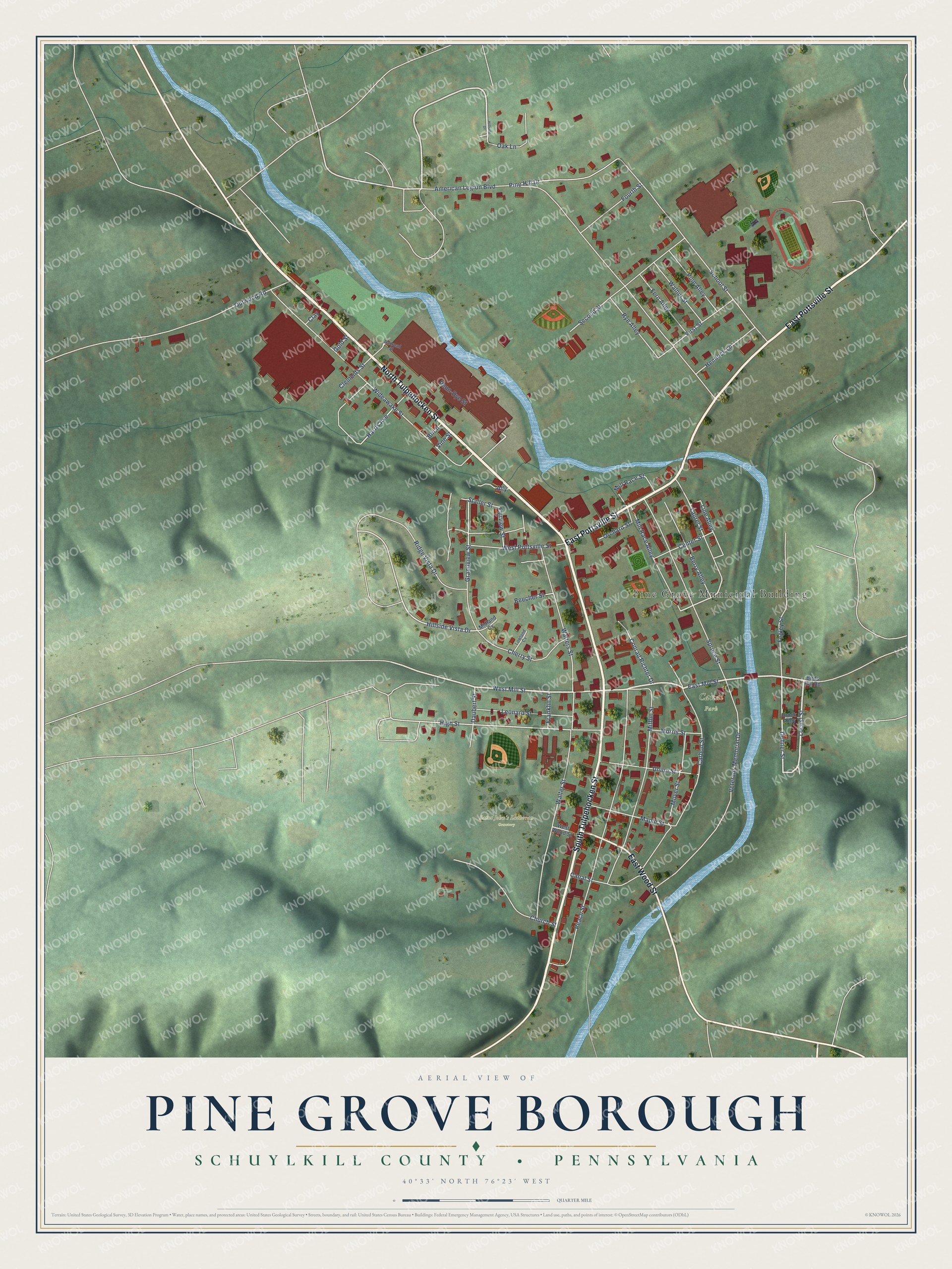
Street and place names on the Pine Grove Borough, Schuylkill County, Pennsylvania map
These names are printed on the map of Pine Grove Borough, Schuylkill County, Pennsylvania.
Places: Pine Grove Municipal Building, Saint John's Lutheran Cemetery and Canal Park.
Streets and roads: North Tulpehocken Street, South Tulpehocken Street, East Pottsville Street, East Wood Street, East Mill Street, West Mill Street, Locust Street, Penn-Dye Street, Dohner Street, Hillside Vista Drive, High Street, American Legion Boulevard.
More street names, A to Z
Ally, Beecher Street, Berry Alley, Birch, Birds Hill Road, Brook Alley, Canal Street, Carbon Street, Center Street, Cherry Street, Church Street, Clay, Clements Street, Conrad Richter Drive, Daubert Street, Fairview Street, Fegley Street, Fern Alley, First Street, Fourth Street, Franklin Street, Gold Street, Grandview Street, Harris Avenue, Hemlock Lane, Hillside Drive, Laurel Street, Leonard Street, Line Alley, Lowland Cv, Maple Street, Midland Cv, Mifflin Street, Mill Race Alley, Mill Race Street, Morris Street, Moyer Street, Oak Lane, Orchard Street, Outwood Road, Peach Street, Pine Alley, Pine Hill Drive, Railroad Street, Ridge Vista Drive, Rye Alley, School Street, Second Street, Spruce Street, Staller Street, Union Street, Veterans Memorial Drive, Vine Street, Walnut Street, Walters Street, Walter Street, West Pottsville Street, West Wood Street, Wideawake Street.
See the Pine Grove Borough, Schuylkill County, Pennsylvania map on a wall
The Pine Grove Borough, Schuylkill County map as an 18 x 24 inch print in a black frame.

This beautifully detailed map of Borough of Pine Grove, Schuylkill County makes an attractive addition to your office, library, or den, and it can even be used to teach children the geography and history of the area. It also makes a great gift for anyone with Pine Grove Borough roots. When you’re done exploring, click here to get your copy of the Borough of Pine Grove, Schuylkill County map.