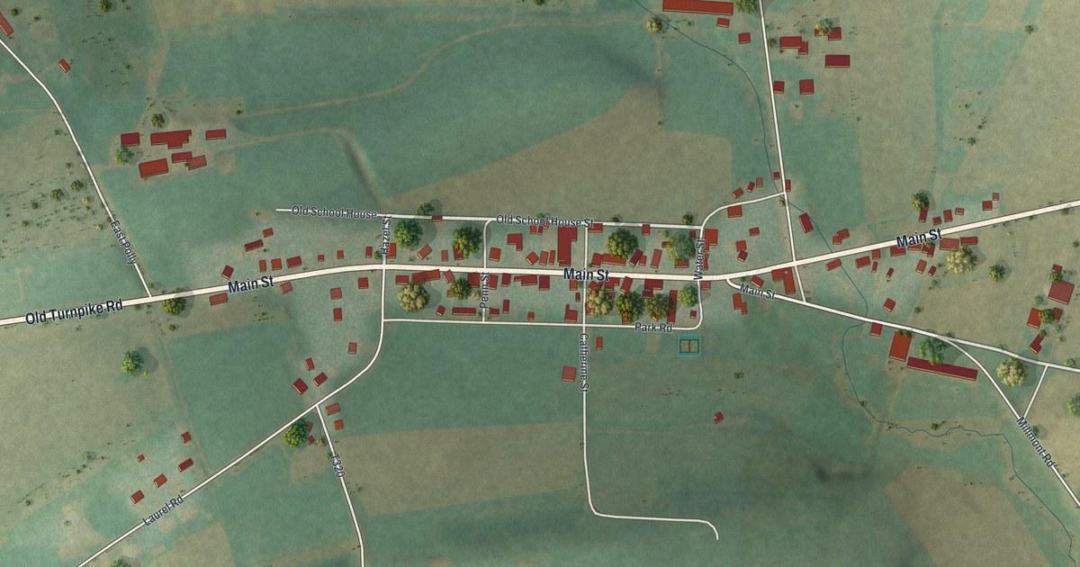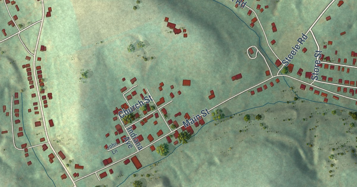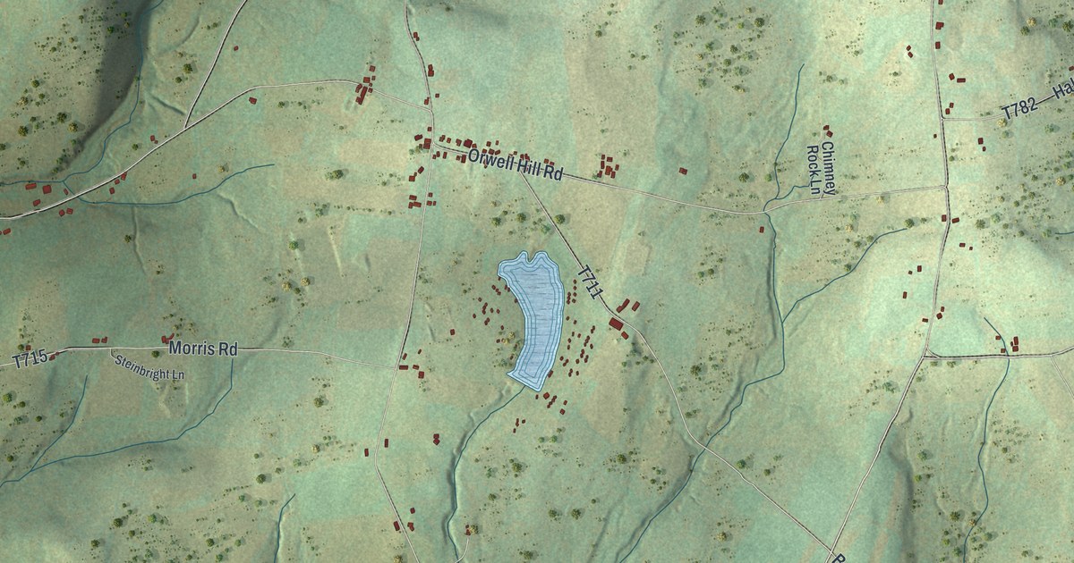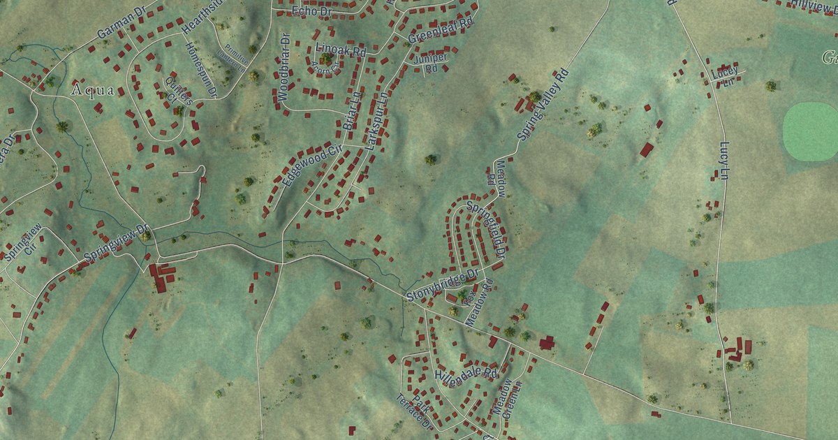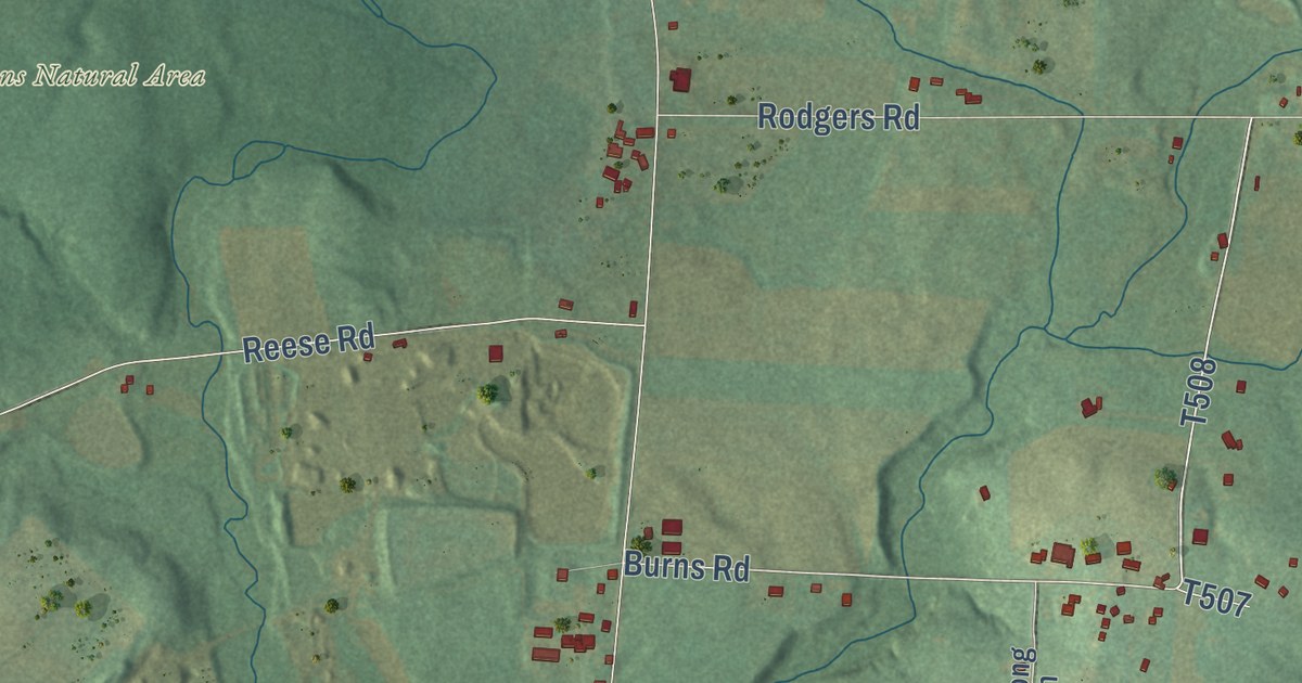
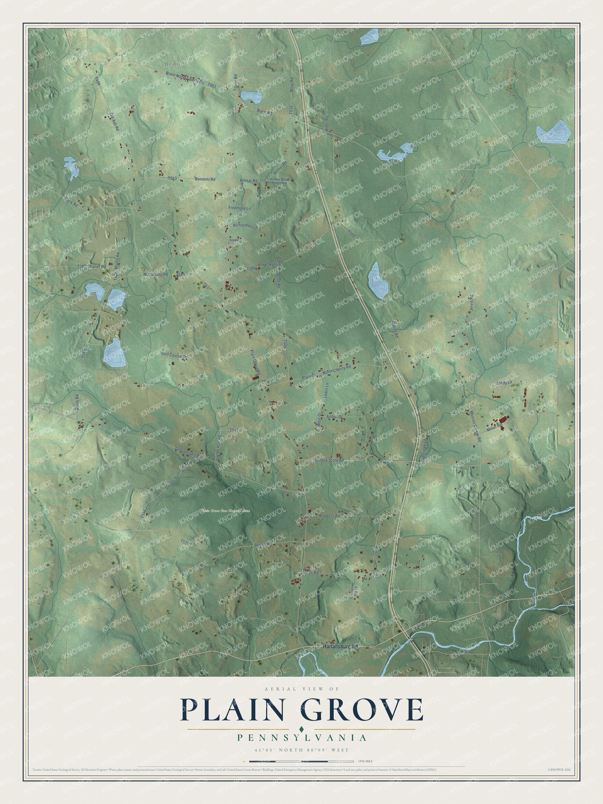
This beautifully detailed map of Plain Grove, Pennsylvania was created in 2026 using aerial imagery combined with modern topographical, census, street and landmark data. It’s a one-of-a-kind view of Plain Grove that combines accurate data with a vintage aesthetic. The map shows every building in its true location, many of the roads carry their names, and the shaded topographic relief shows the shape of the land.
Explore an aerial view of Plain Grove, Pennsylvania
On the map you’ll find Brent and Plain Grove Fens Natural Area, along with Harlansburg Road, Burns Road, Brent North Liberty Road, Brent Road, Hilmar Road, Tower Road, Black Road, and more. If you look closely you can even find your house accurately drawn in its correct location. Zoom in on the preview to look for yours.
Did you know this piece of Plain Grove, Pennsylvania history?
From an 1870s atlas and history of Lawrence County, Pennsylvania: "Of the land in Plain Grove, as well as in other parts of the county, much was not patented for several years after it was settled, and other tracts were never patented, and were finally sold for taxes."
Take a closer look at the Plain Grove map
Street and place names on the Plain Grove, Pennsylvania map
These names are printed on the map of Plain Grove, Pennsylvania.
Places: Brent and Plain Grove Fens Natural Area.
Streets and roads: Harlansburg Road, Burns Road, Brent North Liberty Road, Brent Road, Hilmar Road, Tower Road, Black Road, Plain Grove Road, Old Ash Road, Mason Road, Georgetown Road, Plain Grove North Liberty Road.
More street names, A to Z
Armstrong Hill Lane, Arthur Drive, Bonanni Road, Book Road, Davis Road, Freemore Lane, Gerber, Gerber Road, Golf Course Road, Grange Hall Road, Gruntz Lane, Hilmer Road, Hilmer Road Extended, Jervis Road, Lewis Lane, Martin Road, McConahy Road, McNulty Road, Miller Road, Moon Road, Moores Corner Road, Overcreek Lane, Pollock Store Road, Reese Road, Richardson Lane, Rodgers Road, Shady Lane, Shaner Road, West Drive, Wray Road.
See the Plain Grove, Pennsylvania map on a wall
The Plain Grove map as an 18 x 24 inch print in a black frame.

This beautifully detailed map of Plain Grove makes an attractive addition to your office, library, or den, and it can even be used to teach children the geography and history of the area. It also makes a great gift for someone who left Plain Grove and still calls it home. When you’re done exploring, click here to get your copy of the Plain Grove map.