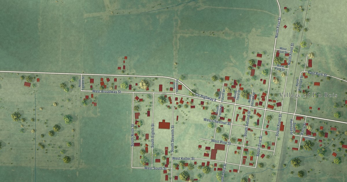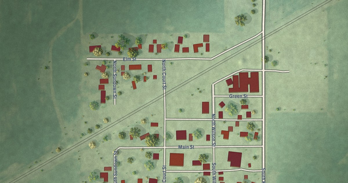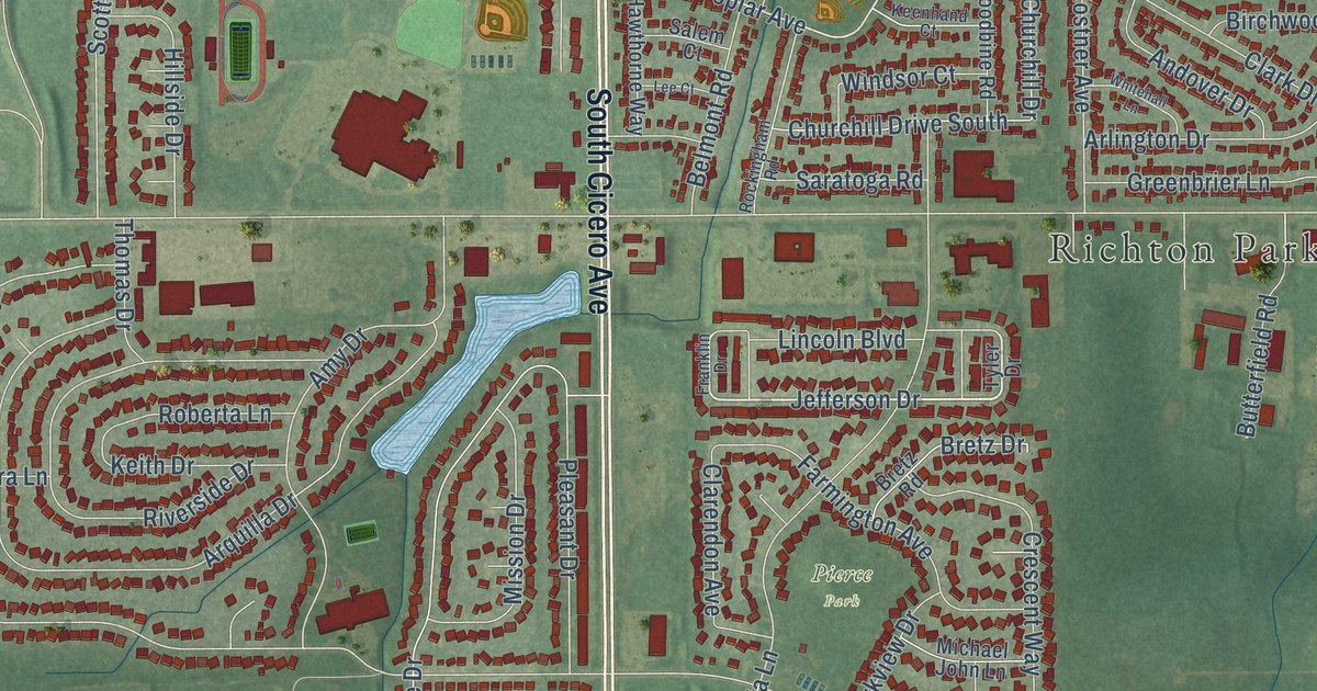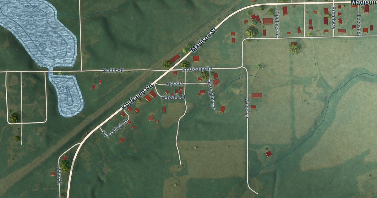
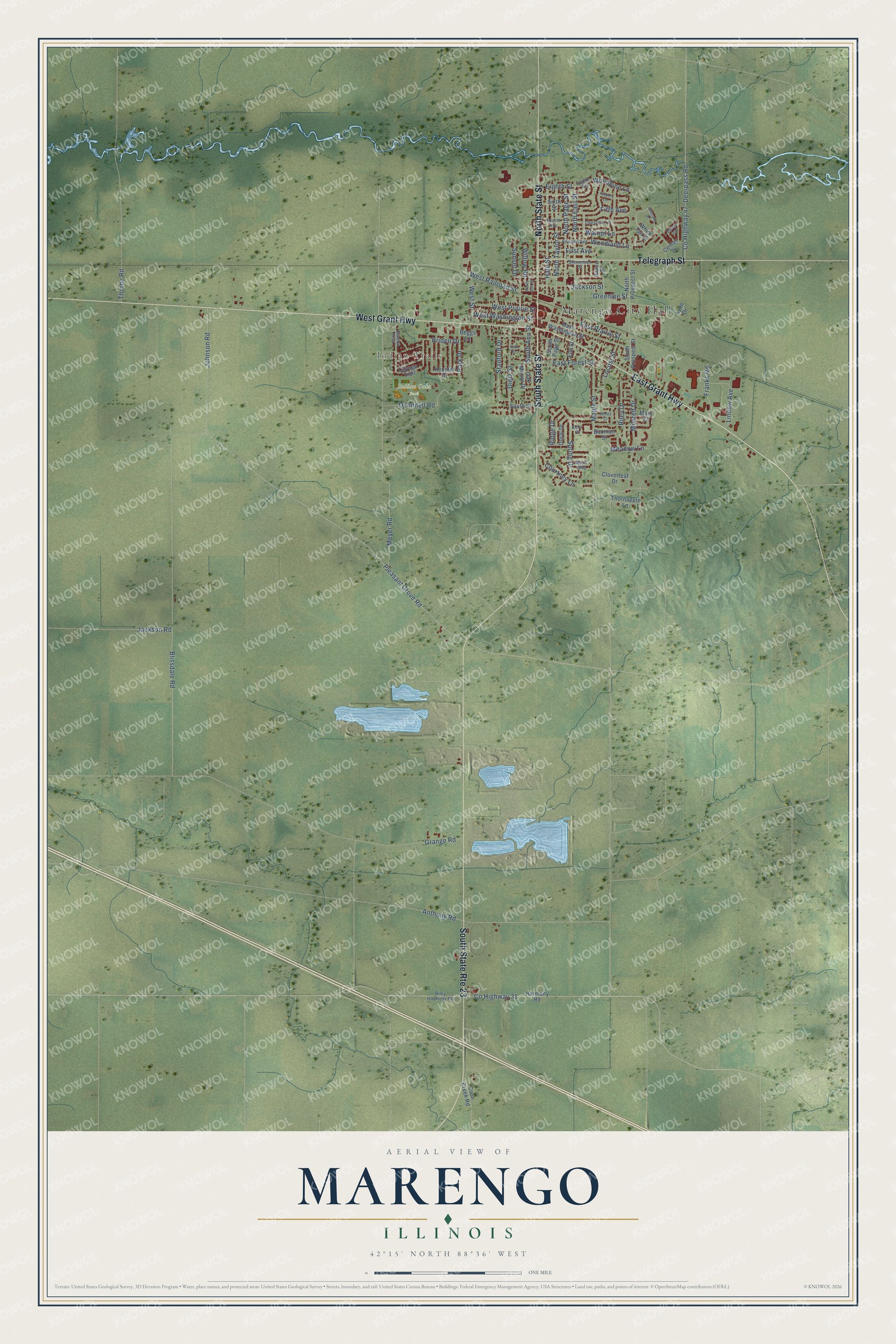
This beautifully detailed map of Marengo, Illinois was created in 2026 using aerial imagery combined with modern topographical, census, street and landmark data. It’s a one-of-a-kind view of Marengo that combines accurate data with a vintage aesthetic. The map shows every building in its true location, many of the roads carry their names, and the shaded topographic relief shows the shape of the land.
Explore an aerial view of Marengo, Illinois
On the map you’ll find Marengo City Hall, Indian Trails, and Indian Oaks Park, along with East Grant Highway, West Grant Highway, Telegraph Street, North State Street, South State Street, Courtney Lane, Stanford Drive, Pleasant Grove Road, Eighth Street, and more. If you look closely you can even find your house accurately drawn in its correct location. Zoom in on the preview to look for yours.
Did you know this piece of Marengo, Illinois history?
From the McHenry County History: "Ten years ago he bought his residence and office which occupy the site of the first building erected at Marengo, which was built in 1836 by Calvin Spencer and for some years was used as a tavern."
Take a closer look at the Marengo map
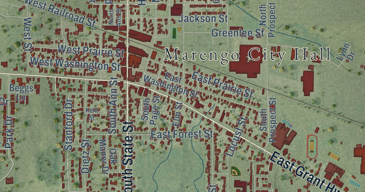
Street and place names on the Marengo, Illinois map
These names are printed on the map of Marengo, Illinois.
Places: Marengo City Hall, Indian Trails and Indian Oaks Park.
Streets and roads: East Grant Highway, South State Route 23, West Grant Highway, Telegraph Street, North State Street, South State Street, Courtney Lane, Stanford Drive, Pleasant Grove Road, Eighth Street, Walnut Lane, Maple Street.
More street names, A to Z
Anthony Road, Bauman Street, Beggs Lane, Blissdale Road, Briden Drive, Cascade Drive, Cayuga Trail, Center Drive, Chestnut Lane, Cloverleaf Drive, Coon Creek Road, County Highway 31, County Highway 47, Deerpass Road, Dietz Street, Doral Drive, East Forest Street, East Prairie Street, East Washington Street, Eighth Avenue, Elm Street, Fifth Avenue, First Avenue, Fourth Avenue, Franks Road, Grace Street, Grange Road, Greenlee Street, Hale Street, Harmony Road, Hickory Lane, Jackson Road, Jackson Street, James Court, Johnson Road, Kent Street, Keppler Drive, Kern Court, Lindow Avenue, Locust Street, Lynn Drive, Majic Way, Mary Court, Meadow Lane, Meyer Road, Mildred Drive, North Ann Street, North East Street, North Page Street, North Prospect Street, North Taylor Street, Oak Manor Drive, Oconnell Road, Park Drive, Ridge Drive, Riley Drive, Riley Harmony Road, Second Avenue, Seneca Trail, Sixth Street, South Ann Street, South Page Street, South Prospect Street, South Street, Spring Drive, Stevenson Street, Sunset Drive, Thornapple Lane, Thorne Road, Village Circle, West Prairie Street, West Railroad Street, West Street, West Washington Street, White Tail Drive, Willow Road, Woodbine Lane, Woodland Lane.
See the Marengo, Illinois map on a wall
The Marengo map as an 18 x 24 inch print in a black frame.

This beautifully detailed map of Marengo makes an attractive addition to your office, library, or den, and it can even be used to teach children the geography and history of the area. It also makes a great gift for anyone who grew up in Marengo or moved away. When you’re done exploring, click here to get your copy of the Marengo map.