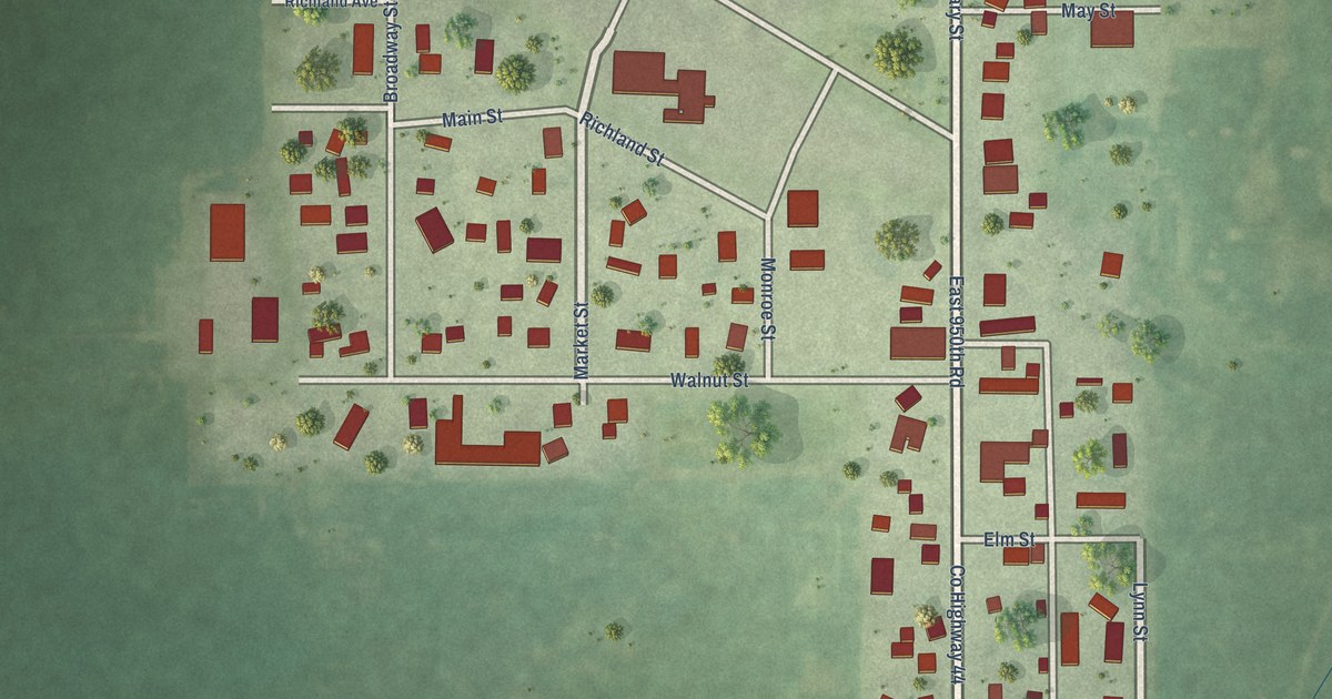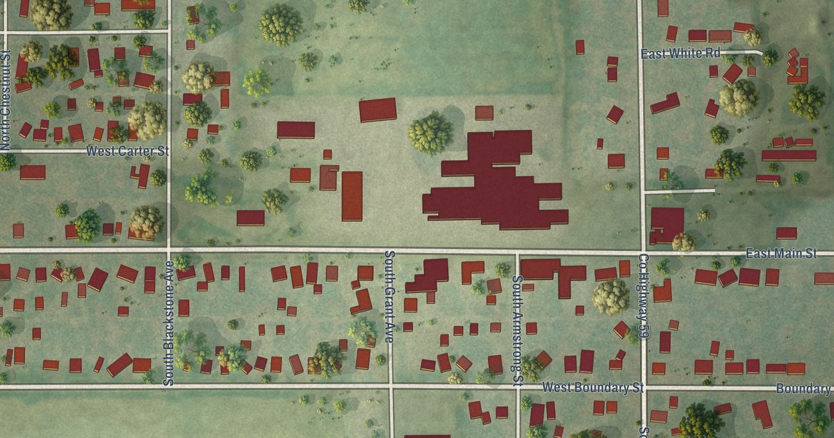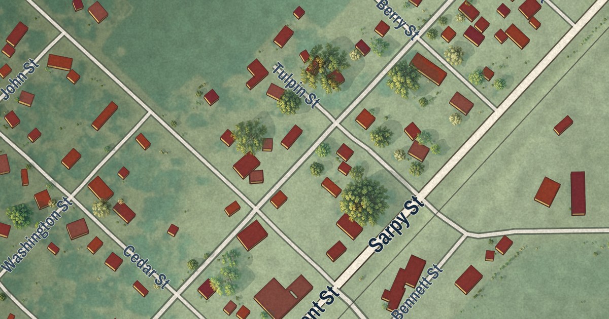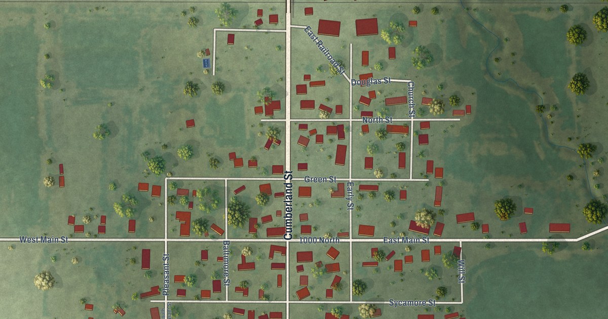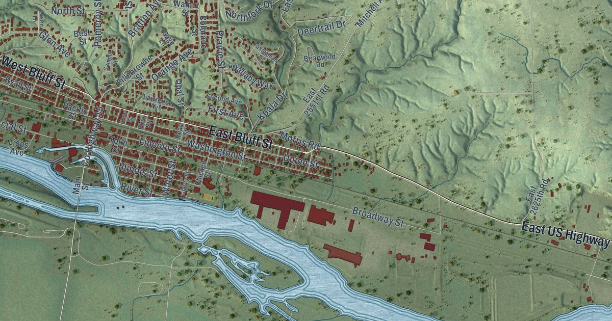
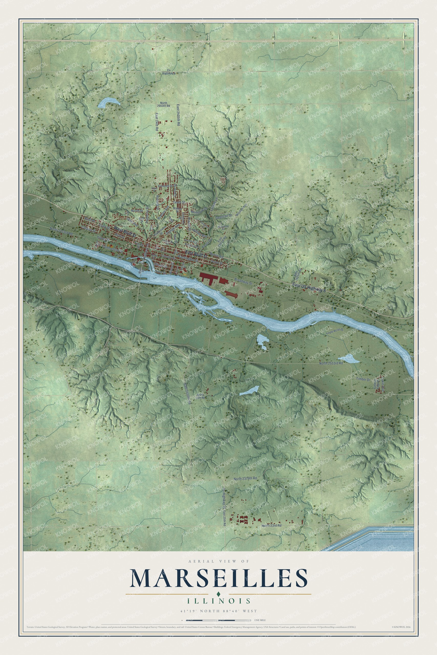
This beautifully detailed map of Marseilles, Illinois was created in 2026 using aerial imagery combined with modern topographical, census, street and landmark data. It’s a one-of-a-kind view of Marseilles that combines accurate data with a vintage aesthetic. The map shows every building in its true location, many of the roads carry their names, and the shaded topographic relief shows the shape of the land.
Explore an aerial view of Marseilles, Illinois
On the map you’ll find West Bluff Street, East Bluff Street, East US Highway 6, County Highway 15, Rutland Street, East 2450th Road, Lasalle Lane, Catalpa Street, County Highway 30, Washington Street, Water Street, East 24th Road, and more. If you look closely you can even find your house accurately drawn in its correct location. Zoom in on the preview to look for yours.
Did you know this piece of Marseilles, Illinois history?
From the LaSalle County History: "Ephraim Sprague came first to Ottawa, and to Marseilles in the spring of 1833; built a dam and saw-mill, completed in the fall of 1833."
Take a closer look at the Marseilles map
Street names on the Marseilles, Illinois map
These names are printed on the map of Marseilles, Illinois.
Streets and roads: West Bluff Street, East Bluff Street, East US Highway 6, County Highway 15, Rutland Street, East 2450th Road, Lasalle Lane, Catalpa Street, County Highway 30, Washington Street, Water Street, East 24th Road.
More street names, A to Z
Acorn Lane, Best Street, Bluff Place, Bratton Avenue, Briarwood Road, Broadway Street, Carter Street, Chicago Street, Clark Street, Colorado Street, Commercial Street, County Highway 4, Deertrail Drive, Drew Street, East 25th Road, East 2425th Road, East 2551st Road, East 2625th Road, Eleventh Street, Fillebrowne Street, First Avenue, Foyle Acres Drive, Gage Lane, Glen Avenue, Illinois Street, Koala Drive, Lakin Avenue, Lawrence Avenue, Liberty Street, Lincoln Street, Lions Avenue, Main Street, Mitchell Avenue, Morris Road, North 23rd Road, North 25th Road, North 2379th Road, North 2553rd Road, North 2753rd Road, North 2950th Road, Northfork Drive, North Street, Opal Street, Orange Avenue, Pacific Street, Pearl Street, Pine Street, Pomeroy Street, Prairie Street, River Street, Rose Street, Ryall Street, Sample Street, Second Avenue, Spicer Street, Tasmanian Drive, Tenth Street, Timber Drive, Timbers Edge Drive, Tolin Street, Union Street, Wallaby Way, Walnut Street, Young Street.
See the Marseilles, Illinois map on a wall
The Marseilles map as an 18 x 24 inch print in a black frame.

This beautifully detailed map of Marseilles makes an attractive addition to your office, library, or den, and it can even be used to teach children the geography and history of the area. It also makes a great gift for anyone with Marseilles roots. When you’re done exploring, click here to get your copy of the Marseilles map.