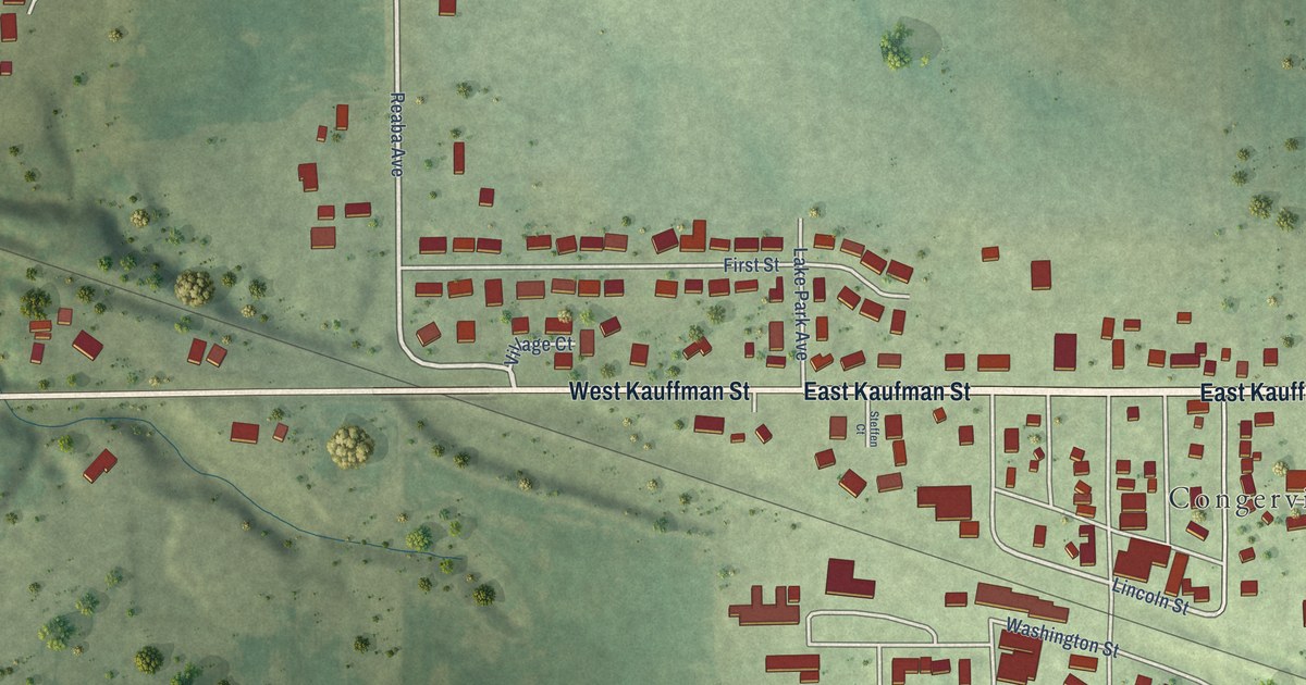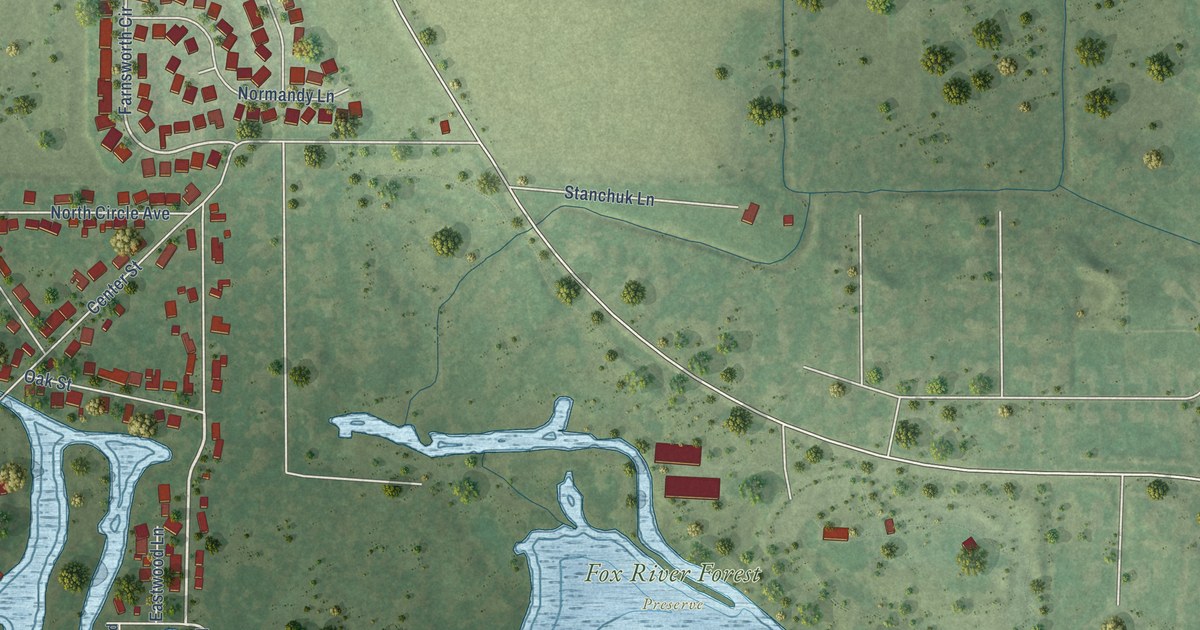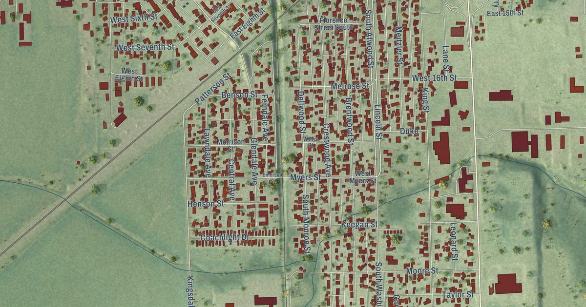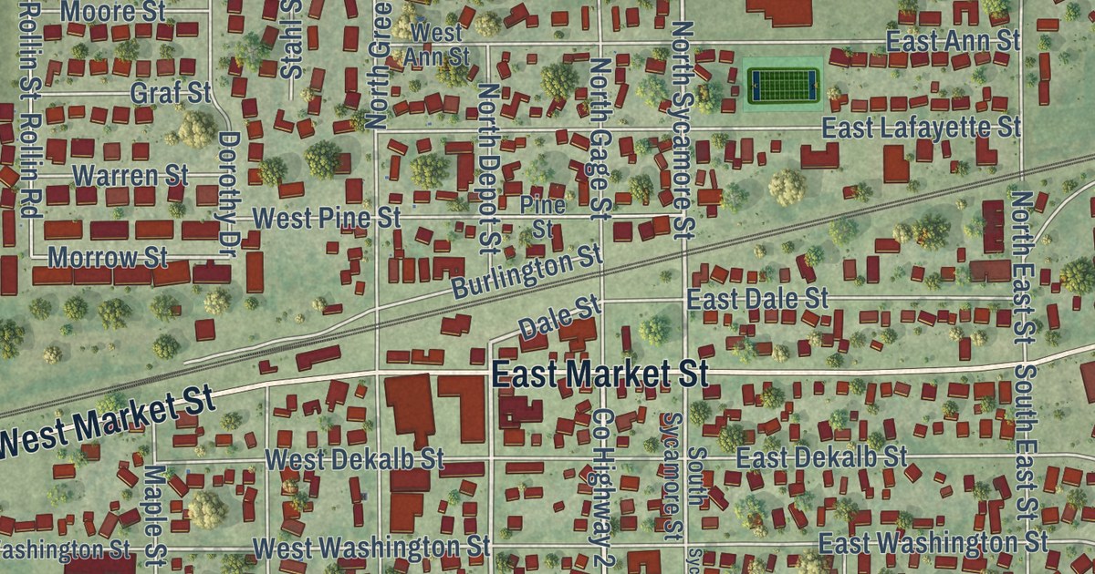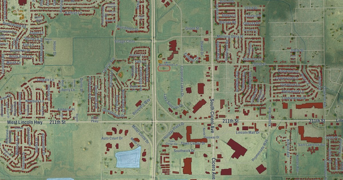
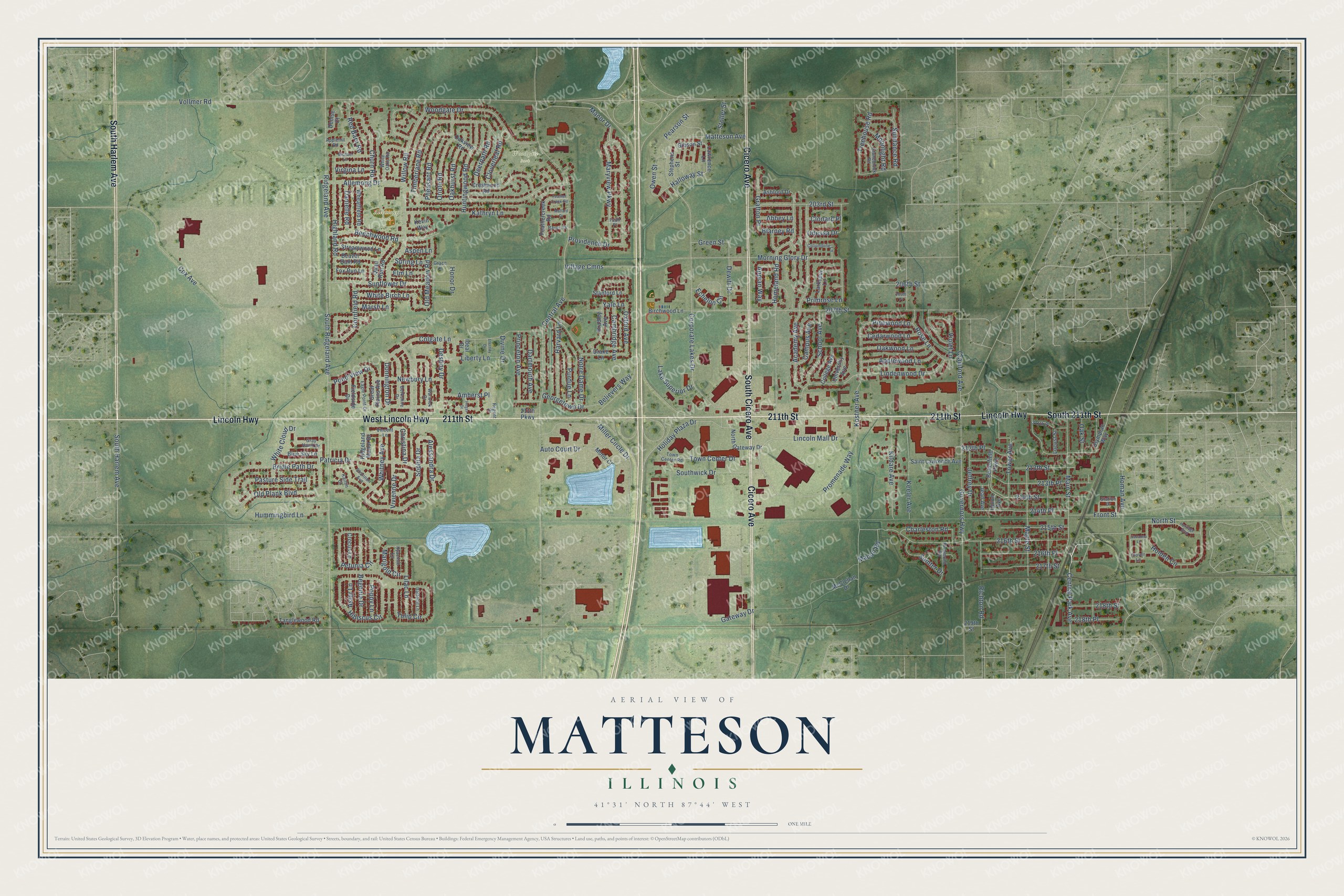
This beautifully detailed map of Matteson, Illinois was created in 2026 using aerial imagery combined with modern topographical, census, street and landmark data. It’s a one-of-a-kind view of Matteson that combines accurate data with a vintage aesthetic. The map shows every building in its true location, many of the roads carry their names, and the shaded topographic relief shows the shape of the land.
Explore an aerial view of Matteson, Illinois
On the map you’ll find Allemong Park and Woodgate Park, along with 211th Street, Lincoln Highway, South Harlem Avenue, Cicero Avenue, South Cicero Avenue, West Lincoln Highway, South 211th Street, 216th Street, Main Street, Maryview Parkway, and more. If you look closely you can even find your house accurately drawn in its correct location. Zoom in on the preview to look for yours.
Did you know this piece of Matteson, Illinois history?
From the History of Cook County: "The religious societies of Matteson have not as yet erected a house of worship. The Lutherans use the German school-house for services, while the Englishspeaking people hold union meetings in the public school-house of the district."
Take a closer look at the Matteson map
Street and place names on the Matteson, Illinois map
These names are printed on the map of Matteson, Illinois.
Places: Allemong Park and Woodgate Park.
Streets and roads: 211th Street, Lincoln Highway, South Harlem Avenue, Cicero Avenue, South Cicero Avenue, West Lincoln Highway, South 211th Street, 216th Street, Main Street, Maryview Parkway, Central Park Avenue, Halloway Street.
More street names, A to Z
203rd Street, 206th Place, 206th Street, 207th Street, 211th Parkway, 211th Place, 212th Place, 213th Place, 213th Street, 214th Place, 214th Street, 215th Street, 216th Place, 217th Street, 218th Place, 218th Street, 219th Street, Abbey Lane, Academy Avenue, Alessandra Drive, Allemong Drive, Amherst Place, Appian Way, Applehill Road, Applewood Lane, Ashford Drive, Aspen Lane, Aster Lane, Auto Court Drive, Beaver Dam Road, Beechwood Road, Begonia Drive, Believers Way, Berkshire Drive, Birchwood Lane, Blarney Road, Blue Sky Lane, Bradley Avenue, Bridle Path Drive, Butterfield Parkway, Cambridge Avenue, Campus Avenue, Cedarwood Lane, Central Avenue, Charleston Road, Christina Drive, Churn Road, Clonard Place, Clover Lane, Cloverleaf Road, Colgate Lane, College Avenue, Columbine Lane, Cornfield Road, Corporate Lakes Drive, Cox Avenue, Crawford Avenue, Crestwood Road, Crocus Lane, Daffodil Lane, Danielle Road, Dartmouth Avenue, Deerpath Road, Denise Court, Destiny Drive, Dewitt Drive, Divine Drive, Donnington Drive, Drake Lane, Eagle Point Drive, Echelon Circle, Elm Lane, Eternity Drive, Faith Place, Feathercreek Road, Feather Creek Road, Fieldside Drive, Fox Run Lane, Front Street, Gateway Drive, Georgetown Drive, Gibson Street, Governors Highway, Grace Lane, Grafton Place, Gray Hawk Drive, Great Plains Avenue, Green Street, Harvard Lane, Heritage Boulevard, Hibiscus Circle, Highland Road, Hoger Drive, Holden Circle, Holiday Plaza Drive, Homan Avenue, Homeland Road, Honor Drive, Hummingbird Lane, Huntingwood Road, Hyacinth Lane, Ideal Drive, Jean Avenue, Jeffrey Drive, Kaitlin Court, Kathryn Lane, Keeler Avenue, Kevin Way, Kildare Avenue, Kostner Avenue, Lake Superior Drive, Larkspur Lane, Lawrence Lane, Liberty Lane, Lilac Lane, Lincoln Mall Drive, Lindenwood Drive, Locust Street, Macon Road, Mallard Drive, Manor Drive, Maple Street, Marigold Circle, Marsh Lane, Matteson Avenue, McClellan Drive, Michael Lane, Miller Circle Drive, Moonlight Road, Morning Glory Drive, Motor Court, Newbury Lane, North Gateway Drive, North Street, Notre Dame Drive, Oakhurst Road, Oak Street, Oakview Road, Oakwood Lane, Odessa Drive, Old Meadow Road, Old Plank Boulevard, Olympian Way, Oriole Road, Owen Street, Oxford Avenue, Pasture Side Trail, Patricia Drive, Pearson Street, Petunia Circle, Pheasant Road, Pinewood Lane, Pond View Drive, Poppy Lane, Primrose Lane, Princeton Avenue, Promenade Way, Providence Drive, Purdue Lane, Quail Run Road, Quinn Avenue, Raven Drive, Red Barn Road, Regent Drive, Richmond Road, Richton Road, Ridgeland Avenue, Ridgeland Manor Drive, Rose Lane, Saint Lawrence Avenue, Savanna Lane, School Avenue, Shannon Avenue, Sophia Drive, South Ridgeland Avenue, Southwick Drive, Spring Lane, Stanford Lane, Station Drive, Stephens Street, Stoller Street, Stonebrook Road, Streamwood Lane, Sumter Drive, Sundance Road, Sunflower Drive, Tanglewood Road, Timberlane Road, Tower Avenue, Town Center Drive, Town Center Road, Treehouse Road, Tulip Circle, University Avenue, Village Cmns, Vincent Lane, Violet Lane, Virgina Lane, Vivienne Drive, Vollmer Road, Warwick Drive, Wheatfield Road, White Birch Lane, White Cloud Drive, White Oaks Road, Whitney Avenue, Willow Road, Woodgate Drive, Yale Lane.
See the Matteson, Illinois map on a wall
The Matteson map as an 18 x 24 inch print in a black frame.

This beautifully detailed map of Matteson makes an attractive addition to your office, library, or den, and it can even be used to teach children the geography and history of the area. It also makes a great gift for anyone who grew up in Matteson or moved away. When you’re done exploring, click here to get your copy of the Matteson map.