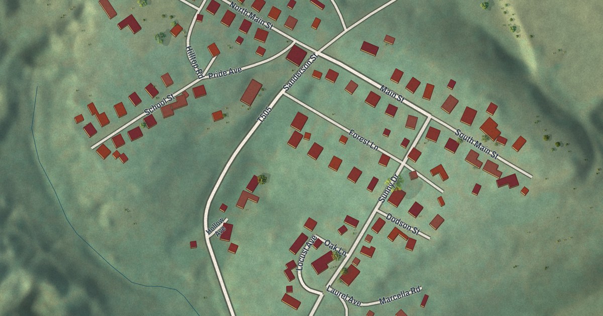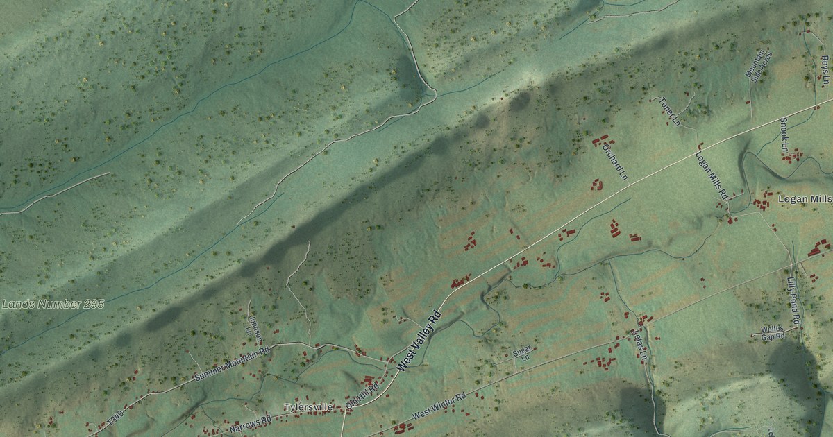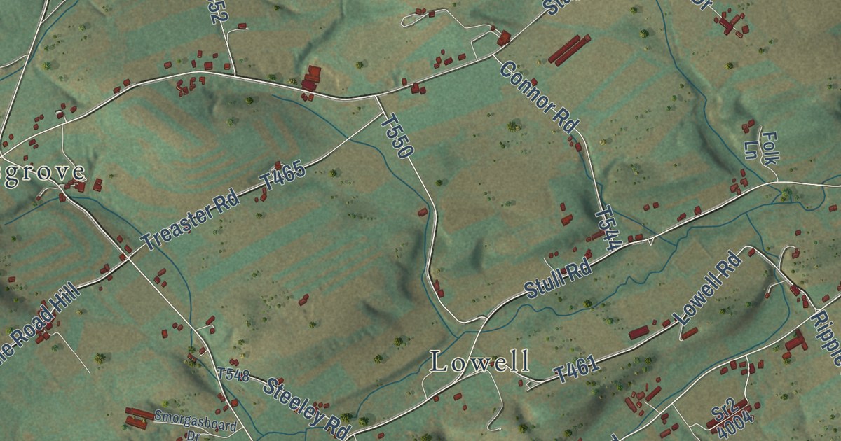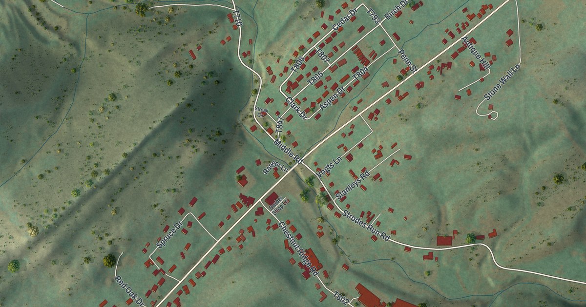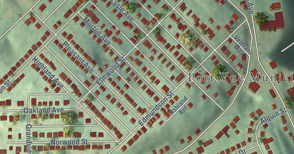
This beautifully detailed map of Port Vue, Pennsylvania was created in 2026 using aerial imagery combined with modern topographical, census, street and landmark data. It’s a one-of-a-kind view of Port Vue that combines accurate data with a vintage aesthetic. The map shows every building in its true location, many of the roads carry their names, and the shaded topographic relief shows the shape of the land.
Explore an aerial view of Port Vue, Pennsylvania
On the map you’ll find Port Vue Municipal Building and Calvary Cemetery, along with Liberty Way, River Drive, Archies Way, Pierce Street, Joy Street, Coal Alley, Washington Boulevard, Romine Avenue, New York Avenue, River Road, and more. If you look closely you can even find your house accurately drawn in its correct location. Zoom in on the preview to look for yours.
Did you know this piece of Port Vue, Pennsylvania history?
From the Port Vue Borough: "In 1891, the approximately 500 residents of what became Port Vue decided to separate from Lincoln Township and create a new borough. They met in a schoolhouse on the old Edmundson farm and first thought of naming the borough Grandview. However, because of the beautiful view of the port that McKeesport had on the Youghiogheny River, they agreed on Port Vue instead."
Take a closer look at the Port Vue map
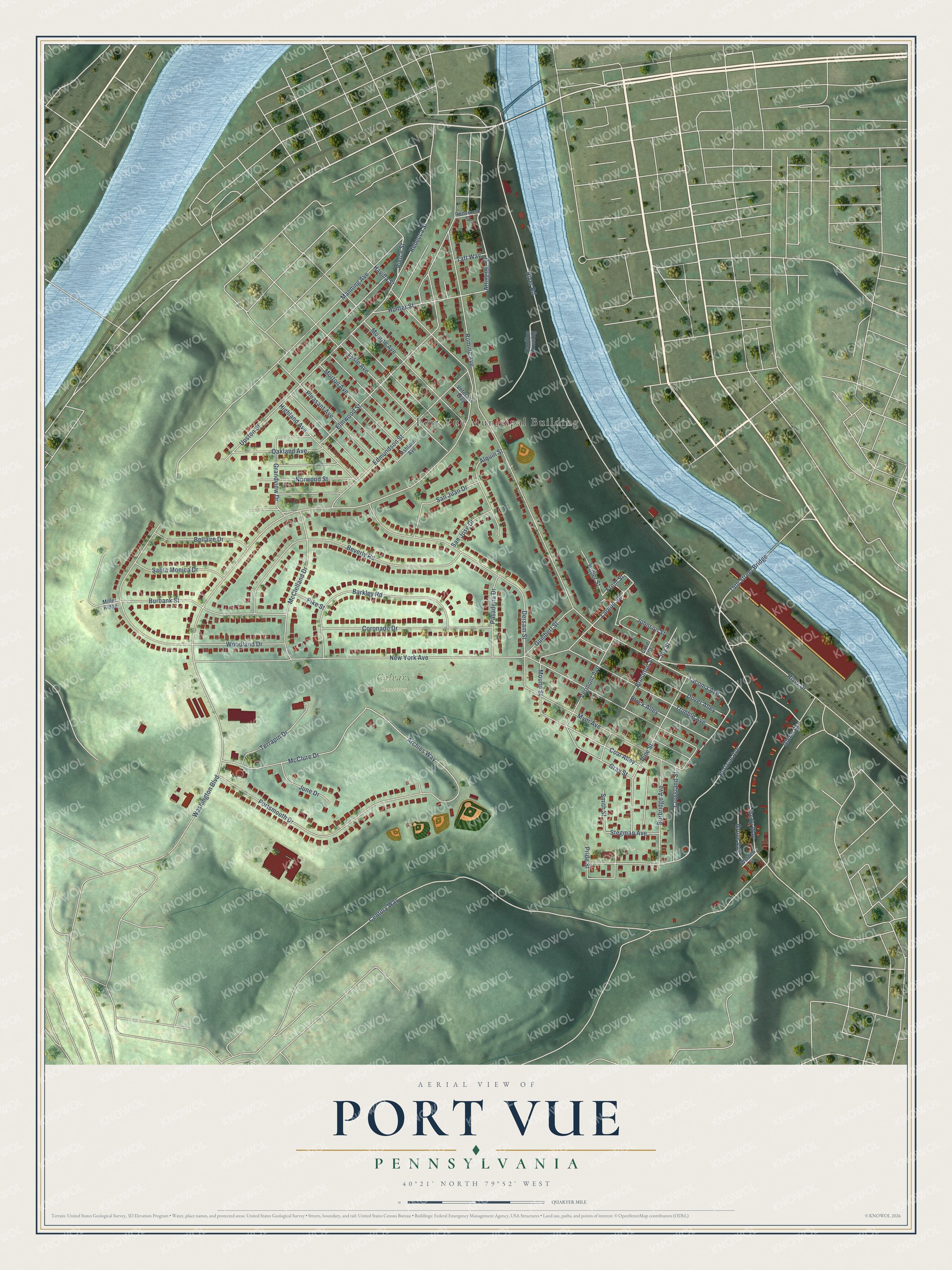
Street and place names on the Port Vue, Pennsylvania map
These names are printed on the map of Port Vue, Pennsylvania.
Places: Port Vue Municipal Building and Calvary Cemetery.
Streets and roads: Liberty Way, River Drive, Pierce Street, Coal Alley, Glenn Avenue, Archies Way, Arlington Street, Front Street, Joy Street, Washington Boulevard, Romine Avenue, New York Avenue.
More street names, A to Z
15th Street Bridge, Alquin Street, Ashland Avenue, Barkley Road, Bellaire Drive, Beverly Road, Block Alley, Brushton Street, Burbank Street, Burbridge Avenue, Century Way, Coronado Drive, Cove Street, Crossland Street, Dersam Street, Dover Alley, Edmundson Street, Elmwood Street, Grandview Drive, Gray Street, Grove Avenue, Gumbert Street, Hamilton Crossing, Havilla Street, Highland Avenue, Huber Street, Hunter Street, Johnson Street, June Drive, Laredo Street, Lysle Avenue, Manning Avenue, McClelland Drive, McClure Drive, Miller Ridge, Monroe Avenue, Morton Avenue, Mound Street, Myer Avenue, Norwood Street, Oakland Avenue, Pasadena Drive, Pike Street, Pine Street, Pleasant Avenue, Portsmouth Drive, Portvue Avenue, Pride Street, Rebecca Street, River Road, Roosevelt Street, San Jose Drive, San Juan Drive, Santa Monica Drive, Smith Street, Stegman Avenue, Tacoma Avenue, Taft Way, Terrapin Drive, Trimble Avenue, Upston Street, Vermont Avenue, Veterans Way, Welden Street, Woodland Drive.
See the Port Vue, Pennsylvania map on a wall
The Port Vue map as an 18 x 24 inch print in a black frame.

This beautifully detailed map of Port Vue makes an attractive addition to your office, library, or den, and it can even be used to teach children the geography and history of the area. It also makes a great gift for someone who left Port Vue and still calls it home. When you’re done exploring, click here to get your copy of the Port Vue map.