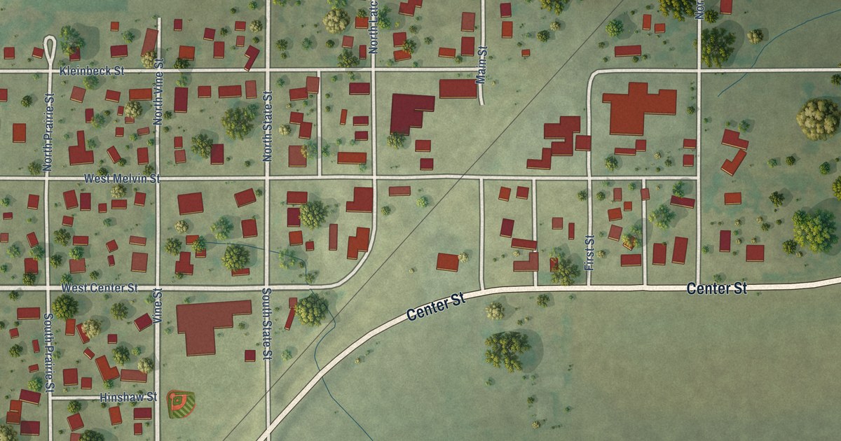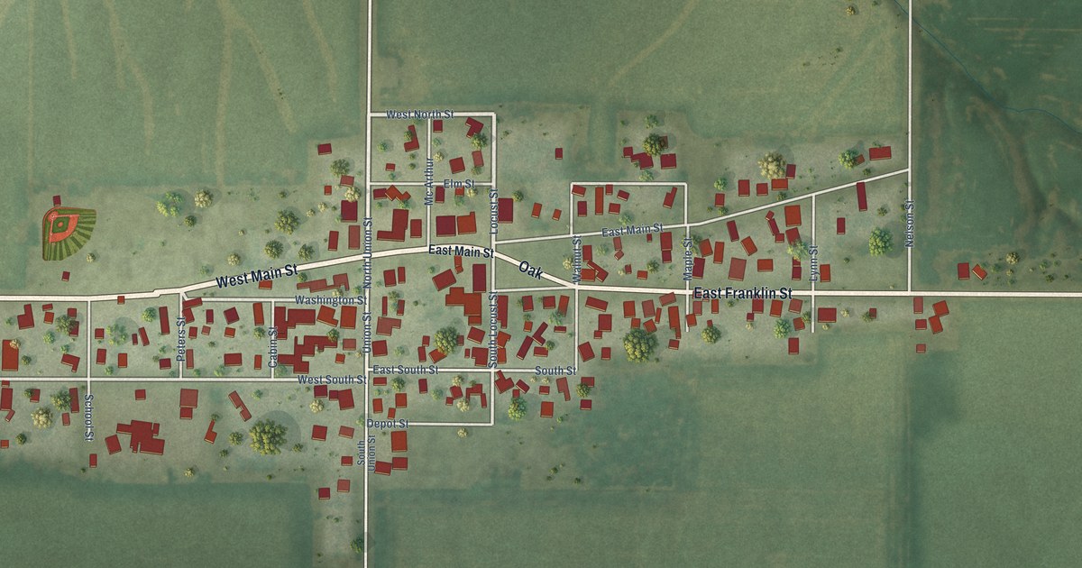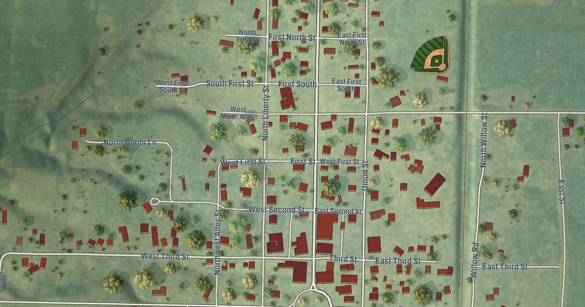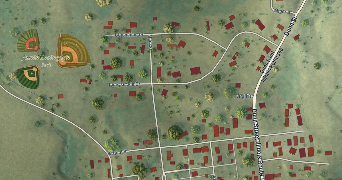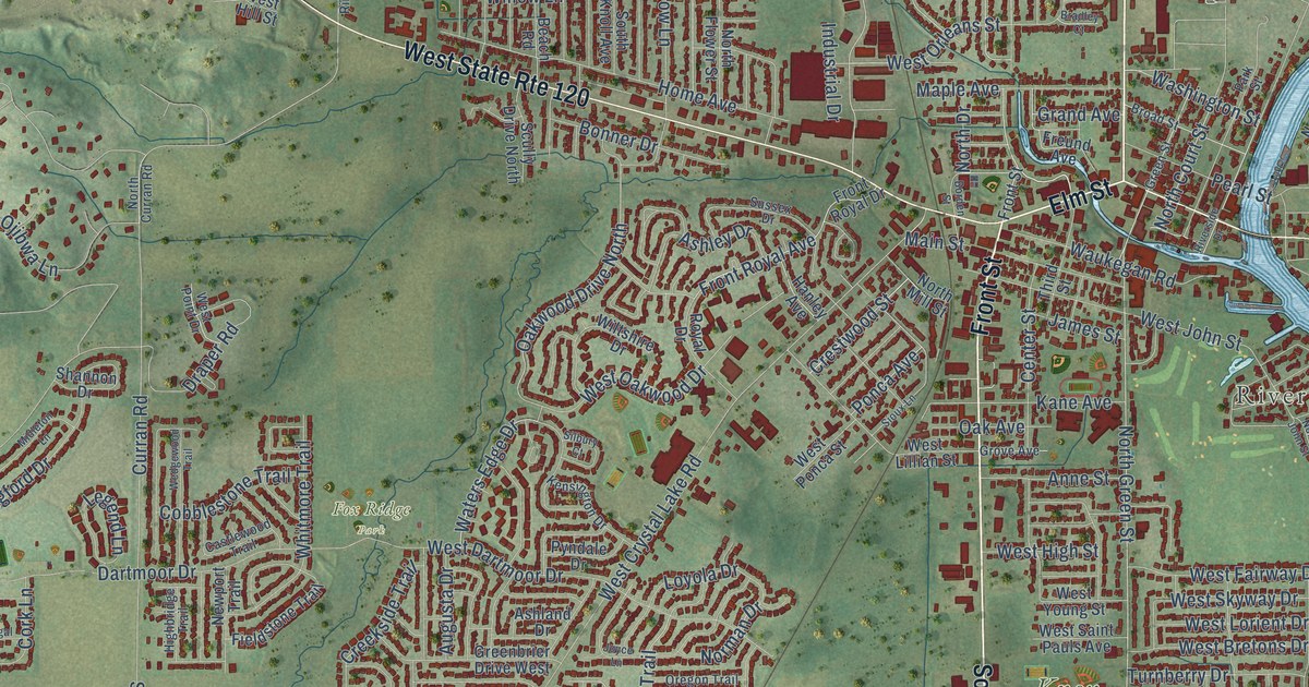
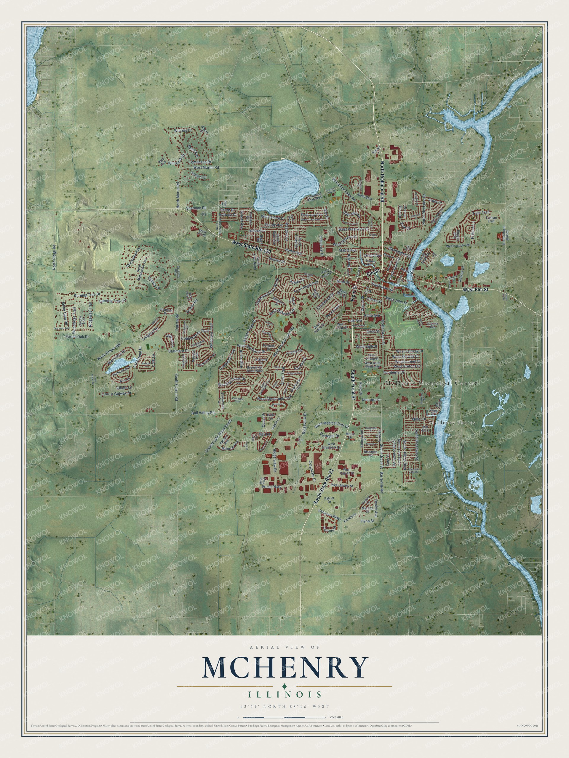
This beautifully detailed map of McHenry, Illinois was created in 2026 using aerial imagery combined with modern topographical, census, street and landmark data. It’s a one-of-a-kind view of McHenry that combines accurate data with a vintage aesthetic. The map shows every building in its true location, many of the roads carry their names, and the shaded topographic relief shows the shape of the land.
Explore an aerial view of McHenry, Illinois
On the map you’ll find McHenry Municipal Center, McHenry Shores, Riverstream, Fox Ridge Park, and Knox Park, along with North Richmond Road, Front Street, South Front Street, West Elm Street, Elm Street, South Green Street, West Glenbrook Trail, and more. If you look closely you can even find your house accurately drawn in its correct location. Zoom in on the preview to look for yours.
Did you know this piece of McHenry, Illinois history?
From the U.S. Geological Survey: "Former incorporated village of McHenry Shores merged with McHenry on March 17, 1982."
Take a closer look at the McHenry map
Street and place names on the McHenry, Illinois map
These names are printed on the map of McHenry, Illinois.
Places: McHenry Municipal Center, McHenry Shores, Riverstream, Fox Ridge Park and Knox Park.
Streets and roads: North Richmond Road, South State Route 31, Front Street, South Front Street, West State Route 120, West Elm Street, Elm Street, South Green Street, West Glenbrook Trail, West Martin Road, North Martin Road, Key Lane.
More street names, A to Z
Abbey Drive, Adams Drive, Albert Drive, Alton Road, Amberwood Place, Amherst Court, Anne Street, April Avenue, Arbor Drive, Argyle Lane, Armistead Lane, Ashland Drive, Ashley Drive, Augusta Drive, Ayre Drive, Bally Road, Barney, Barney Court, Barreville Road, Beach Road, Betsy Lane, Birch Drive, Biscayne Road, Blake Boulevard, Bode Lane, Bonita Lane South, Bonner Drive, Boone Creek Circle, Borden Street, Bradley Court, Brittany Drive, Broad Street, Brookwood Trail, Bull Valley Road, Burning Tree Circle, Burning Tree Drive, Camden Street, Carey Drive, Cashel Lane, Castlewood Trail, Centegra Drive, Center Street, Century Court, Chapel Hill Road, Chickaloon Drive, Cobblestone Trail, Colony Trail, Concord Drive, Cork Lane, Corporate Drive, Creekside Trail, Crestwood Street, Cross Trail, Crystal Lake Road South, Cunat Drive, Curran Road, Dartmoor Drive, Deerwood Trail, Donegal Lane, Donnelly Place, Doolin Avenue, Dorchester Place, Dot Street, Draper Road, Enfield Drive, Evergreen Circle, Farmstead Drive, Fieldstone Trail, Flynn Street, Forest Oak Drive, Freund Avenue, Front Royal Avenue, Front Royal Drive, Galway Drive, Geneva Place, Glenbrook Trail, Grand Avenue, Greenbrier Drive West, Green Street, Gregg Drive, Grove Avenue, Hanley Avenue, Hanson Avenue, Hazelwood Drive, Highbridge Trail, Hillside Lane, Hollywood Boulevard, Home Avenue, Homestead Drive, Industrial Drive, James Street, Joyce Lane, Kane Avenue, Kensington Drive, Killala Lane, Knox Drive, Kresswood Drive, Lakewood Road West, Legend Lane, Liam Lane, Longford Drive, Loyola Drive, Main Street, Maple Avenue, Mary Lane, McCullom Lake Road, McHenry Avenue, Meadow Lane, Mercy Drive, Midleton Lane, Miller Drive, Miller Parkway, Monroe Avenue, Municipal Drive, Murphy Drive, Newport Trail, Norman Drive, North Avenue, North Chapel Hill Road, North Court Street, North Curran Road, North Draper Road, North Drive, North Flower Street, North Green Street, North John Street, North Matanuska Trail, North Mill Street, North Orleans Street, North Ridge Road, North Ringwood Road, North River Road, North Riverside Drive, Oak Avenue, Oak Drive, Oakwood Drive North, Ojibwa Lane, Olde Mill Lane, Orchard Beach Road North, Oregon Trail, Parklane Avenue, Park Street, Parkway Avenue, Patriot Drive, Pearl Street, Peterson Park Road, Pine Drive, Pine Street, Pleasant View Drive, Ponca Avenue, Prairie Avenue, Prime Parkway, Pyndale Drive, Reagan Boulevard, Redwood Lane, Remington Trail, Ridge View Drive, Ridgeview Drive, Ridgeway Trail, Riverside Drive, Rose Avenue, Royal Drive, Scully Drive North, Sehaid Court, Shannon Drive, Sherman Road, Shore Drive, Silbury Court, Silver Glen Road, Sioux Lane, South Broadway Street, South Curran Road, South Draper Road, South Driftwood Trail, South Hilltop Boulevard, South Knoll Avenue, Still Hill Drive, Sunset Avenue, Sussex Drive, Third Street, Tomlinson Drive, Truman Trail, Turnberry Drive, Tyler Trail, Veretta Court, Veterans Parkway, Village Trail, Virginia Avenue, Washington Street, Waterford Drive, Waters Edge Drive, Waukegan Road, Wedgewood Trail, West Albany Street, West Bretons Drive, West Clearview Drive, West Crystal Lake Road, West Dartmoor Drive, West Dayton Street, West Fairway Drive, West High Street, West Hill Street, West John Street, West Lillian Street, West Lincoln Road, West Lorient Drive, West Medical Cntr Drive, West Oakwood Drive, West Orleans Street, West Point Drive, West Ponca Street, West Prestwick Street, West Saint Pauls Avenue, West Shamrock Lane, West Shore Drive, West Skyway Drive, West Young Street, Whiteoak Drive, Whiting Drive, Whitmore Trail, Willow Lane, Wiltshire Drive, Winding Creek Drive, Woodridge Trail.
See the McHenry, Illinois map on a wall
The McHenry map as an 18 x 24 inch print in a black frame.

This beautifully detailed map of McHenry makes an attractive addition to your office, library, or den, and it can even be used to teach children the geography and history of the area. It also makes a great gift for anyone who grew up in McHenry or moved away. When you’re done exploring, click here to get your copy of the McHenry map.