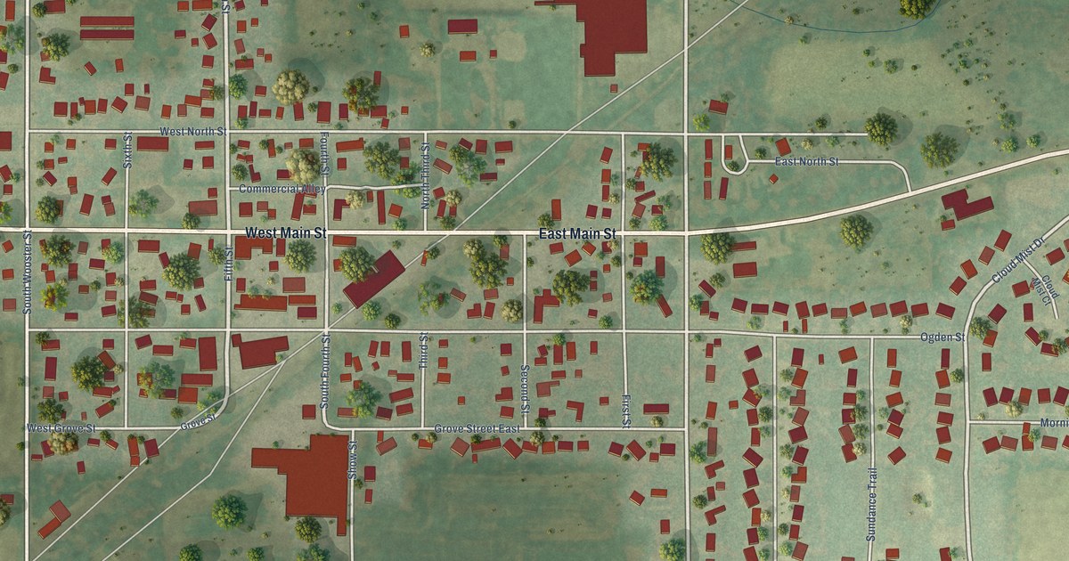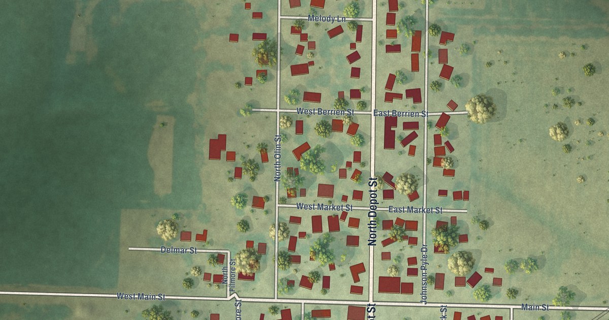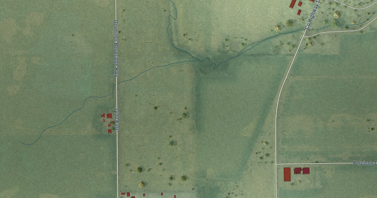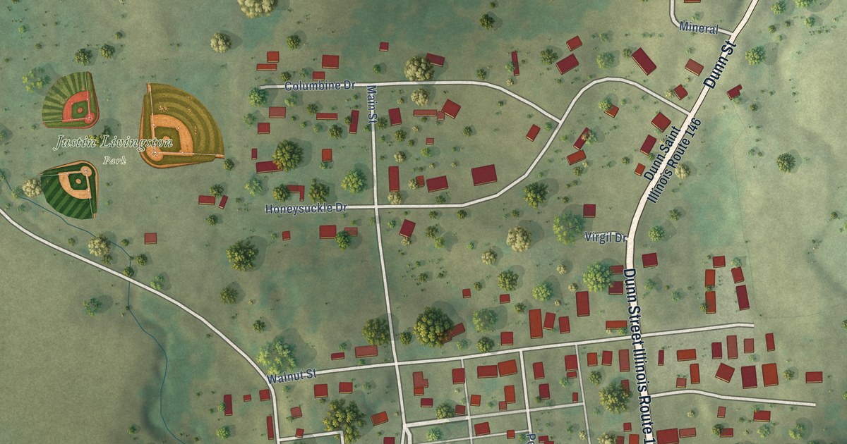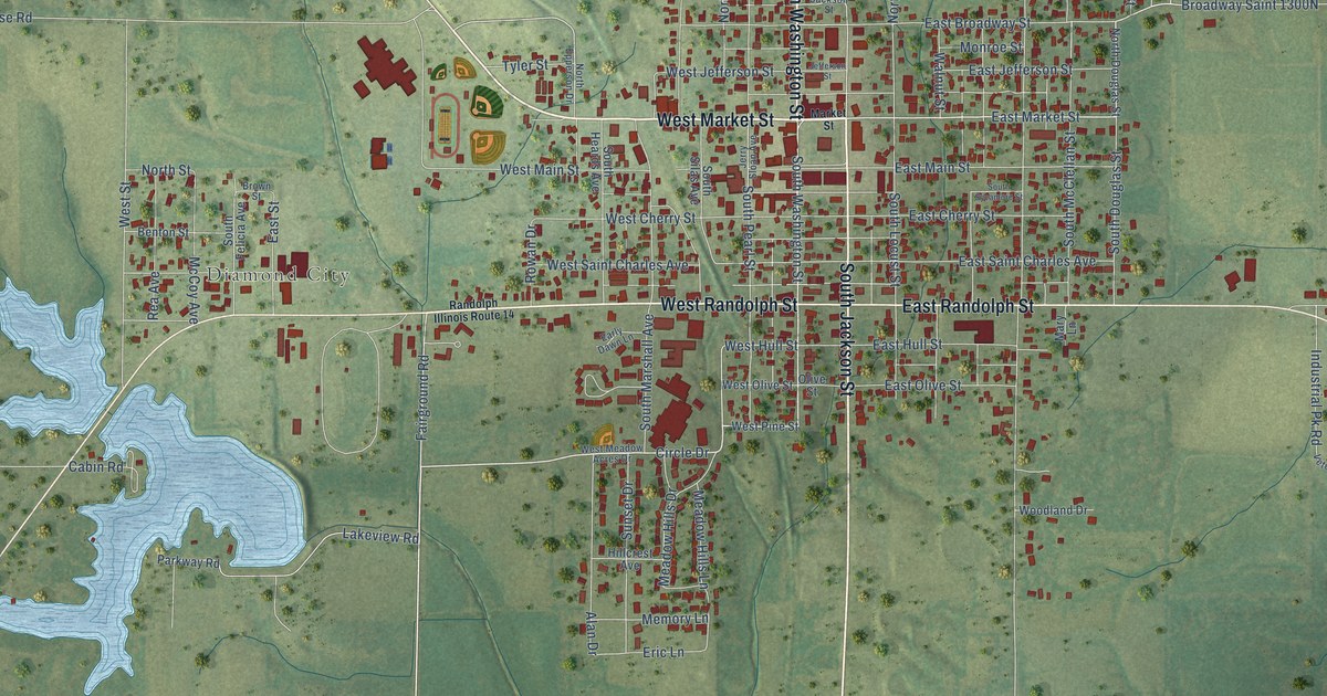
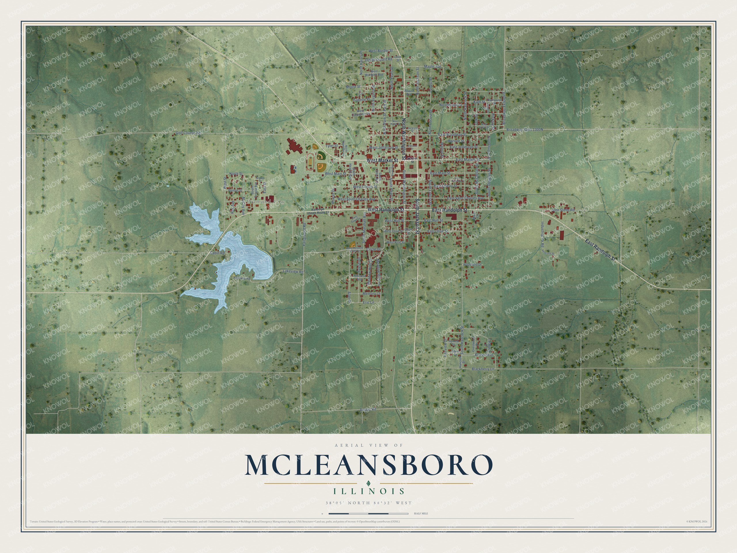
This beautifully detailed map of McLeansboro, Illinois was created in 2026 using aerial imagery combined with modern topographical, census, street and landmark data. It's a modern aerial view of McLeansboro in Hamilton County, Illinois, that combines modern data with a vintage aesthetic. The roads feature printed names, and if you look closely you can find your exact house accurately shown in its correct location.
Explore an aerial view of McLeansboro, Illinois
On this map you'll find Diamond City, North Washington Street, West Market Street, South Jackson Street, West Randolph Street, East Randolph Street, South Washington Street, Circle Drive, East Market Street, Fairground Road, Broadway Extended, West Border Street, and more. Each red shape is a building, so zoom in on the preview and look for yours.
Here is a piece of McLeansboro history, in the words of the record. The Hamilton County Genealogy Trails puts it this way: "The first steam grist or flouring-mill, it is believed, was introduced in 1850, being built at McLeansboro, by Henry Wright."
McLeansboro is a city in Hamilton County. The Census Bureau counted 2,675 people here in 2020.
Take a closer look at the McLeansboro map
Names on this map
These names are printed on this map.
Places: Diamond City.
Streets and roads: North Washington Street, West Market Street, South Jackson Street, West Randolph Street, East Randolph Street, South Washington Street, Circle Drive, East Market Street, Fairground Road, Broadway Extended, West Border Street, North Jackson Street.
More street names, A to Z
Airport Road, Alan Drive, Benton Street, Blackberry Lane, Briarwood Drive, Brown Street, Cabin Road, Cone Street, Crestwood Drive, Douglas Street, Early Dawn Lane, East Broadway Street, East Cherry Street, East Foote Street, East Hull Street, East Jefferson Street, East Main Street, East Olive Street, East Saint Charles Avenue, East Street, Eastwood Drive, Eric Lane, Fairview Drive, Golf Course Road, Hancock Street, Harris Place, Hickory Street, Hillcrest Avenue, Industrial Pk Road, Isabelle Place, Jackson Street, Jefferson Street, Jerry Sloan Avenue, John Stelle Road, Katherine Street, Kath Street, Lakeview Road, Locust Street, Maple Avenue, Market Street, Mary Lane, McCoy Avenue, Meadow Hills Drive, Meadow Hills Lane, Memory Lane, Monroe Street, Moore Street, Northbrook Drive, North Douglas Street, North Epperson Drive, North Hancock Street, North Harris Place, North Locust Street, North Park Street, North Pearl Street, North Street, North Virginia Street, Oak Street, Old Brickyard Road, Olive Street, Ollie Street, Park Street, Parkway Road, Powell Avenue, Randolph Illinois Route 14, Rea Avenue, Rowan Drive, South Douglas Street, South Felicia Avenue, South Hancock Street, South Heards Avenue, South Locust Street, South Marshall Avenue, South McClellan Street, South Pearl Street, South Silas Avenue, South Sycamore Street, Spruce Street, Sunset Drive, Tyler Street, Veterans Drive, Walnut Street, West Carpenter Street, West Cherry Street, West Hull Street, West Jefferson Street, West Main Street, West Meadow Acres Drive, West Olive Street, West Pine Street, West Saint Charles Avenue, West Street, West Walker Street, West Warwick Avenue, Woodland Drive.
Created by KNOWOL in 2026. The buildings are small red shapes, the roads carry their printed names, and shaded relief shows the shape of the land. The title panel reads "AERIAL VIEW OF MCLEANSBORO ILLINOIS" with 38°05' NORTH 88°32' WEST.
It suits a den, a classroom or a front hall, and it makes a gift for anyone with McLeansboro roots. Open the preview and find the block you know. See sizes and frames for the McLeansboro map.