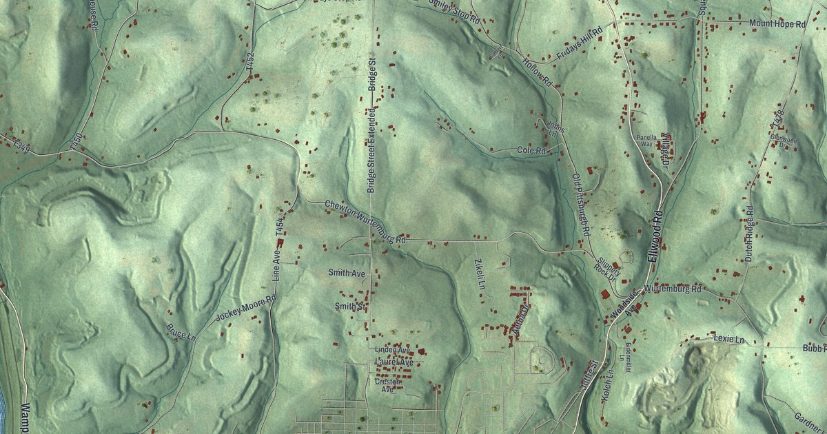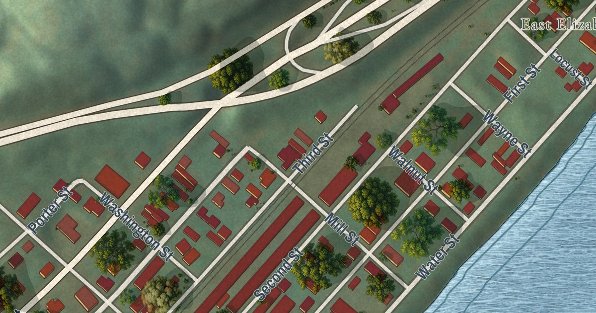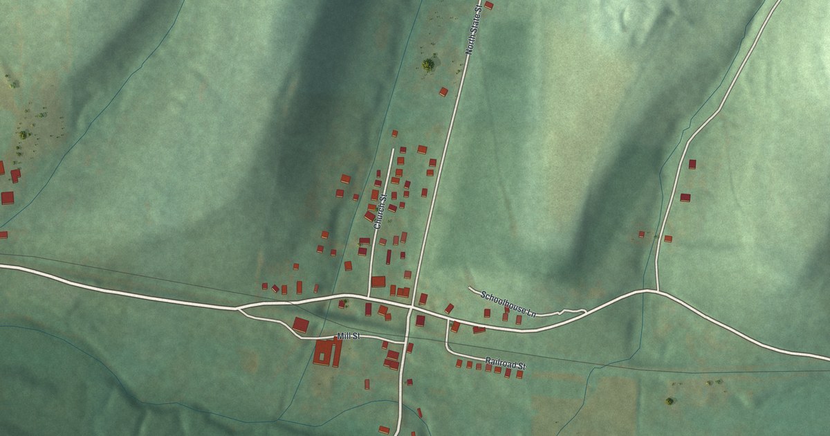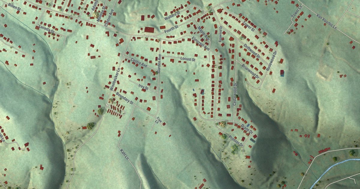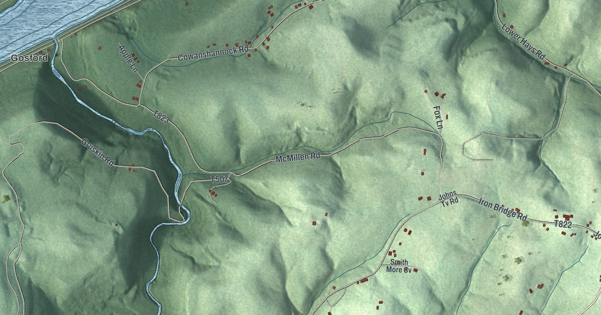
This beautifully detailed map of Rayburn, Pennsylvania was created in 2026 using aerial imagery combined with modern topographical, census, street and landmark data. It’s a one-of-a-kind view of Rayburn that combines accurate data with a vintage aesthetic. The map shows every building in its true location, many of the roads carry their names, and the shaded topographic relief shows the shape of the land.
Explore an aerial view of Rayburn, Pennsylvania
On the map you’ll find Community Park, Stitt Airport, East Kittanning, Gosford, Grandview, Green Acres, Mosgrove, Spaces Corners, Sunnyside, Troy Hill, and Wick City, along with Oak Drive, and more. If you look closely you can even find your house accurately drawn in its correct location. Zoom in on the preview to look for yours.
Did you know this piece of Rayburn, Pennsylvania history?
From Data.pa.gov: "The most notable Delaware Indian village west of the Alleghenies, was situated here from about 1730 until destroyed by Armstrong's expedition in 1756."
Take a closer look at the Rayburn map
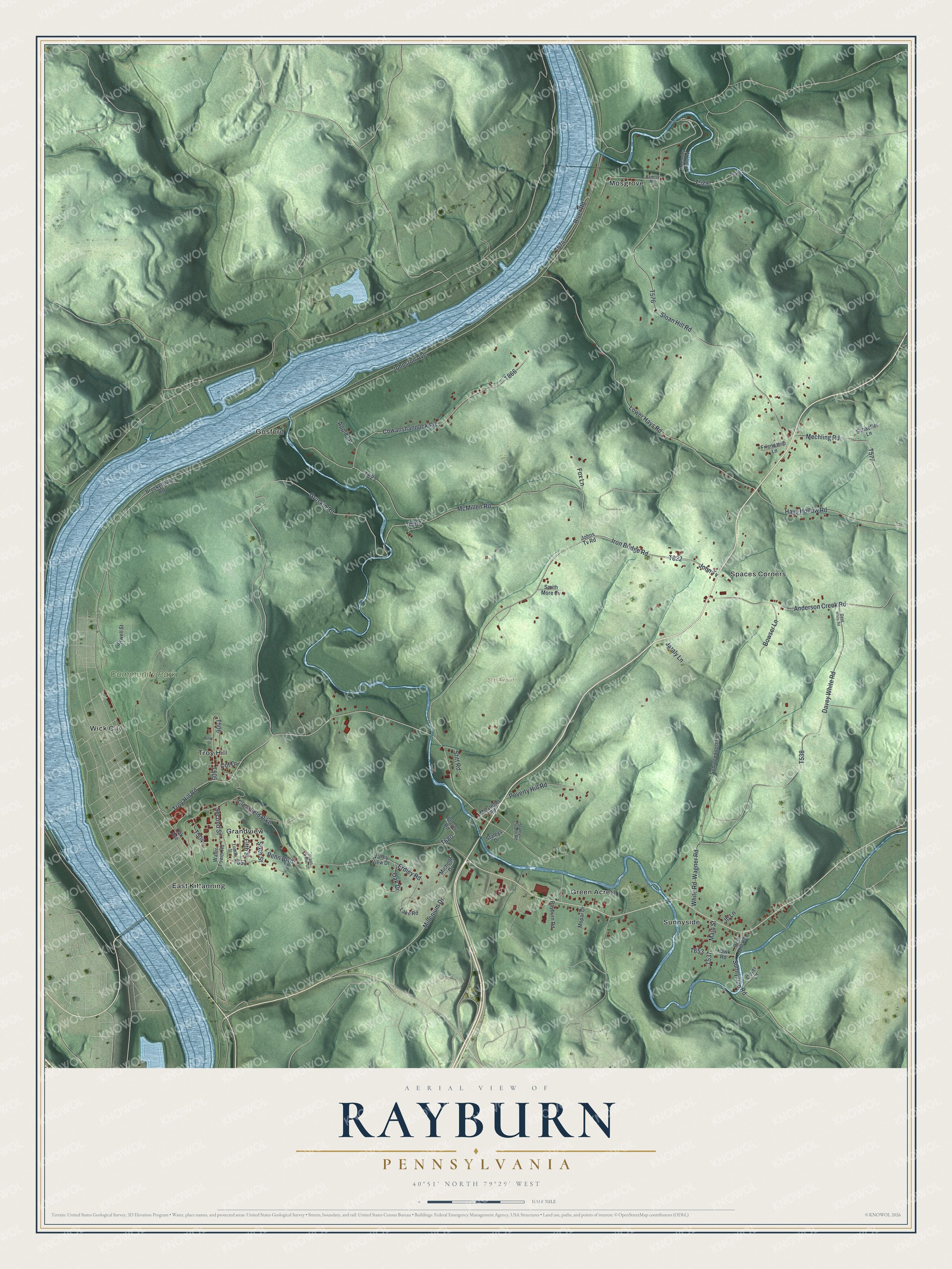
Street and place names on the Rayburn, Pennsylvania map
These names are printed on the map of Rayburn, Pennsylvania.
Places: Community Park, Stitt Airport, East Kittanning, Gosford, Grandview, Green Acres, Mosgrove, Spaces Corners, Sunnyside, Troy Hill and Wick City.
Streets and roads: Oak Drive, Second Street, Troy Hill Road, Johnston Avenue, Millenium Drive, Clearfield Pike, Davey White Road, Gruskin Road, Sloan Hill Road, Iron Bridge Road, McMillen Road, Wagner Road.
More street names, A to Z
Alley Street, Anderson Creek Road, Apple Lane, Bowser Lane, Brockettville Road, Cot Drive, Cover Lane, Cowanshannock Road, Dave White Road, Erdley Road, Fifth Street, Fourth Street, Fox Lane, Friendship Lane, Hawk Road, Hays Hollow Road, Jaraly Lane, Jb Lane, Johns Tv Road, John Tv, Lake Road, Lower Hays Road, Main Street, McCauley Falls Road, McGregor Road, Mechling Road, Michelle Drive, Mopar Drive, Oak Avenue, Painter Road, Penn Boulevard, Poverty Hill Road, Rayburn Road, Red Mill Road, River Road, Rupps Trailer Court, Schaeffer Lane, Schrecengost Lane, Sirwell Street, Sixth Street, Smith More Cv, Staleys Courts Road, Staleys Drive, Stitt Road, Stover Road, Sunnyside Road, Valley View Drive, Water Tower Road, White Road.
See the Rayburn, Pennsylvania map on a wall
The Rayburn map as an 18 x 24 inch print in a black frame.

This beautifully detailed map of Rayburn makes an attractive addition to your office, library, or den, and it can even be used to teach children the geography and history of the area. It also makes a great gift for anyone with Rayburn roots. When you’re done exploring, click here to get your copy of the Rayburn map.