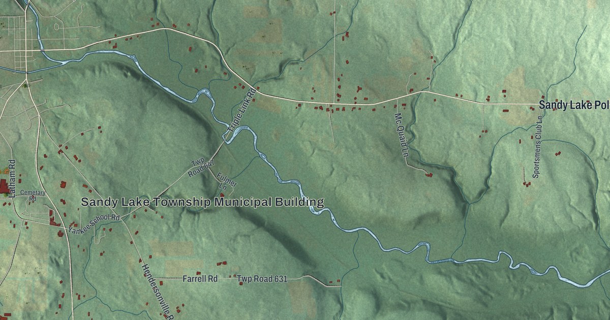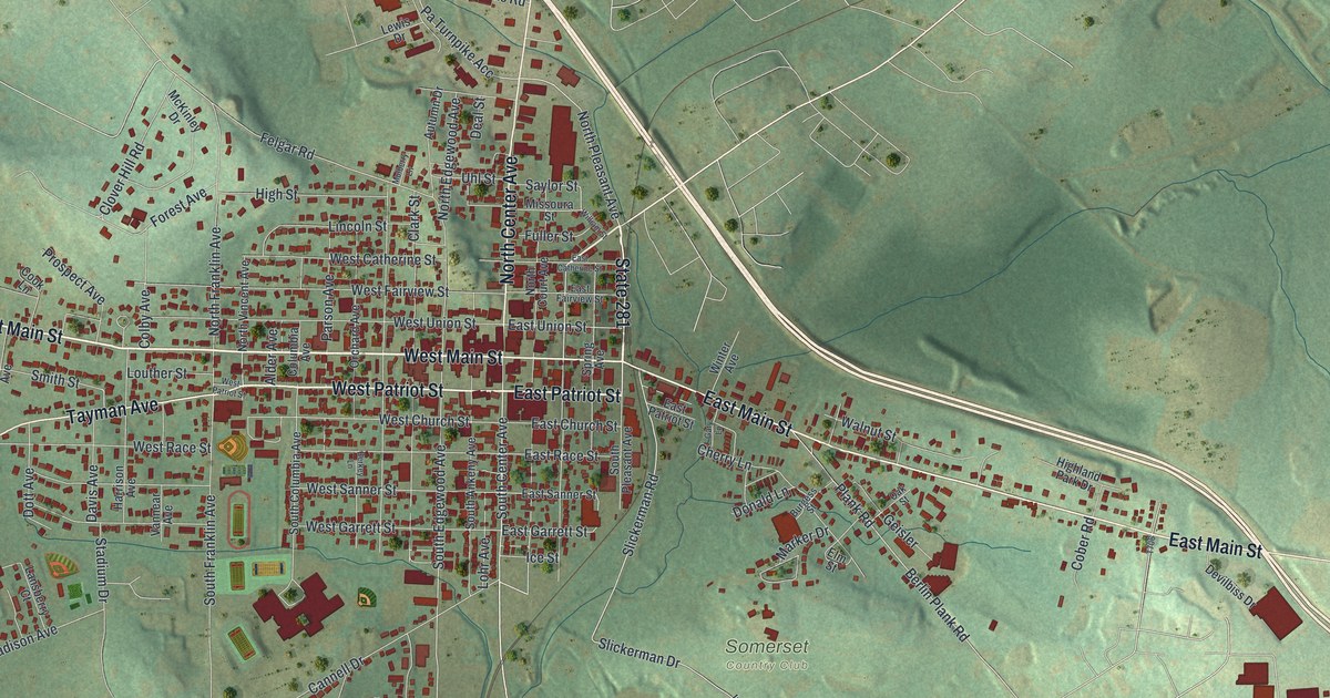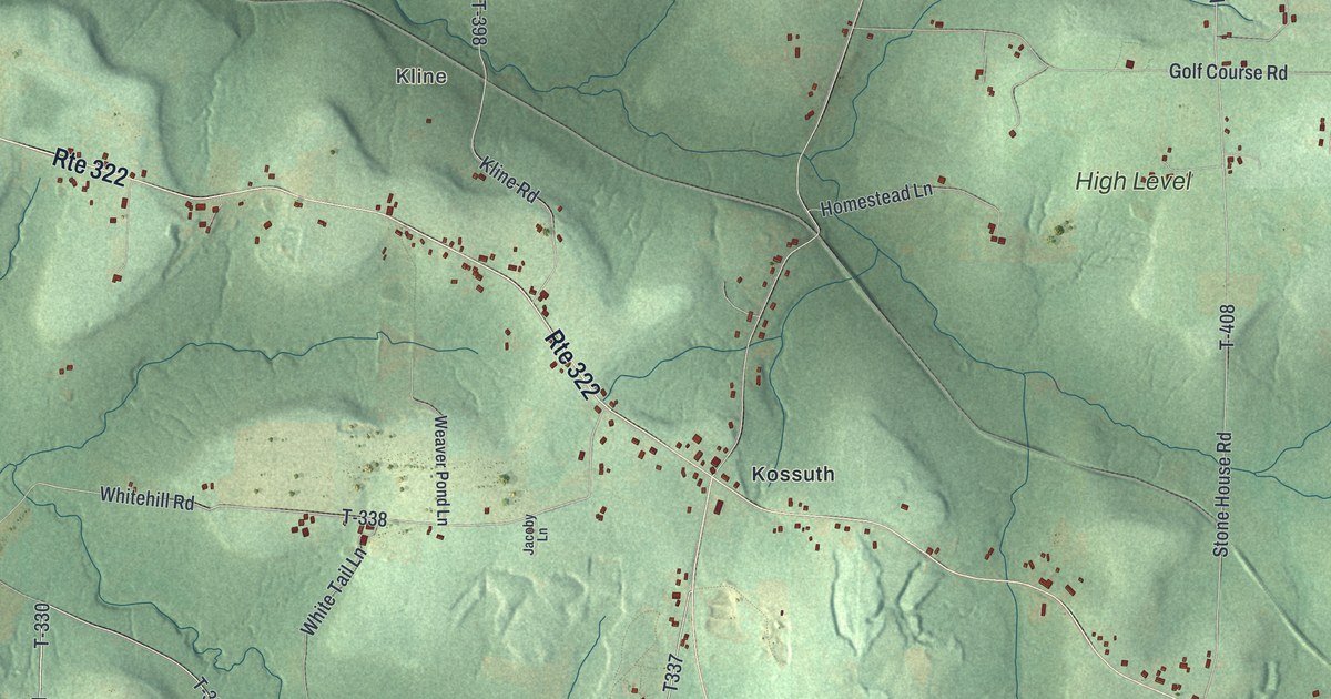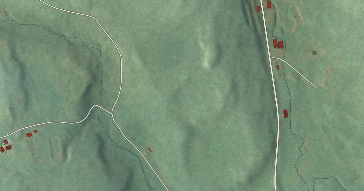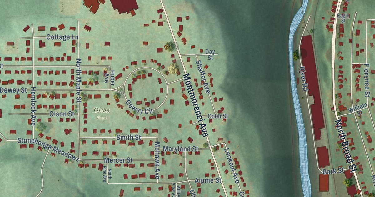
This beautifully detailed map of Ridgway Borough, Pennsylvania was created in 2026 using aerial imagery combined with modern topographical, census, street and landmark data. It’s a one-of-a-kind view of Ridgway Borough that combines accurate data with a vintage aesthetic. The map shows every building in its true location, many of the roads carry their names, and the shaded topographic relief shows the shape of the land.
Explore an aerial view of Ridgway Borough, Pennsylvania
On the map you’ll find Olson Park, along with North Broad Street, Boot Jack Road, East Main Street, South Broad Street, Main Street, Depot Street, West Main Street, South Street, Montmorenci Avenue, State Street, Front Street, and more. If you look closely you can even find your house accurately drawn in its correct location. Zoom in on the preview to look for yours.
Did you know this piece of Ridgway Borough, Pennsylvania history?
From the History of McKean Elk Cameron and Potter: "Joseph S. Hyde settled at Caledonia in 1837, but shortly after moved to Ridgway as an employe of Enos Gillis, and operated the old Gillis mill, above the present Hyde grist-mill, until it failed to pay expenses."
Take a closer look at the Ridgway Borough map
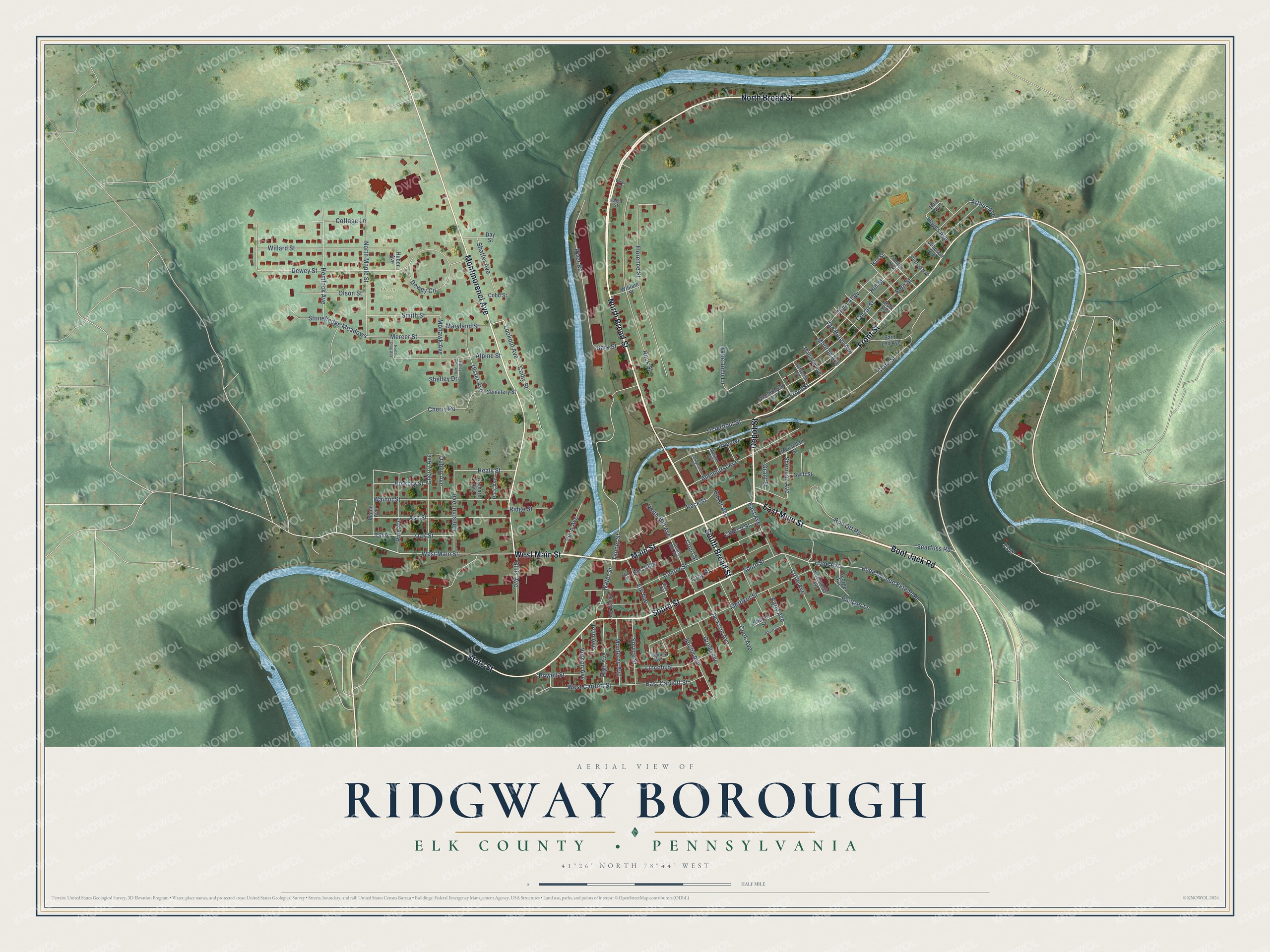
Street and place names on the Ridgway Borough, Pennsylvania map
These names are printed on the map of Ridgway Borough, Pennsylvania.
Places: Olson Park.
Streets and roads: North Broad Street, Boot Jack Road, East Main Street, South Broad Street, Main Street, Depot Street, West Main Street, South Street, Montmorenci Avenue, State Street, Front Street, Hyde Avenue.
More street names, A to Z
Allenhurst Avenue, Alpine Street, Alvin Street, Arthur Avenue, Ash Street, Baker Avenue, Bark Street, Cemetery Street, Center Street, Charles Street, Cherry Avenue, Cherry Road, Chestnut Avenue, Church Street, Clark Street, Cobb Street, Colby Street, Cook Avenue, Corral Street, Cottage Lane, Court Street, Day Street, Dewey Circle, Dewey Street, Dublin Avenue, Eagle Street, Early Avenue, East Avenue, East Cardott Street, Elk Avenue, Elm Alley, Elm Street, Erie Avenue, Euclid Avenue, Fern Street, Filmore Avenue, Florence Street, George Avenue, Gillis Avenue, Grant Street, Grove Avenue, Hall Avenue, Hall Street, Hayes Avenue, Healy Street, Hemlock Avenue, Hickory Street, High Avenue, Hill Street, Huber Avenue, Hyde Avenue Extended, Irvin Avenue, Jackson Avenue, Jefferson Avenue, Johnson Avenue, Katie John Lane, Kearsarge Avenue, Lafayette Street, Leslie Avenue, Lincoln Street, Little Avenue, Long Street, Lookout Avenue, Madison Avenue, Maple Avenue, Maryland Street, McClellan Street, Mercer Street, Metoxet Street, Mohawk Avenue, Monroe Avenue, Monterey Avenue, Morgan Avenue, North Maple Street, North Mill Avenue, North Pine Avenue, Oak Street, Olson Street, Orchard Avenue, Osterhout Street, Park Avenue, Penn Avenue, Pierce Avenue, Pine Avenue, Polk Avenue, Pontzer Lane, Powell Street, Race Street, Ridge Street, River Road, Rock Street, Run Off Road, Saint Leo Avenue, Searfoss Road, Shaffer Avenue, Shelley Drive, Sherman Avenue, Smith Street, South Mill Avenue, Spruce Street, Stonehedge Meadows, Swift Street, Tanner Street, Thorn Alley, Ulster Avenue, Valley Street, Valley View Avenue, Van Buren Avenue, Vernon Avenue, Vine Avenue, Walnut Street, Warner Avenue, Washington Street, Water Street, West Cardott Street, Willard Street, William Street.
See the Ridgway Borough, Pennsylvania map on a wall
The Ridgway Borough, Elk County map as an 18 x 24 inch print in a black frame.

This beautifully detailed map of Borough of Ridgway, Elk County makes an attractive addition to your office, library, or den, and it can even be used to teach children the geography and history of the area. It also makes a great gift for someone who left Ridgway Borough and still calls it home. When you’re done exploring, click here to get your copy of the Borough of Ridgway, Elk County map.