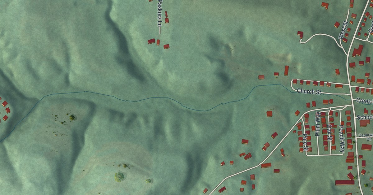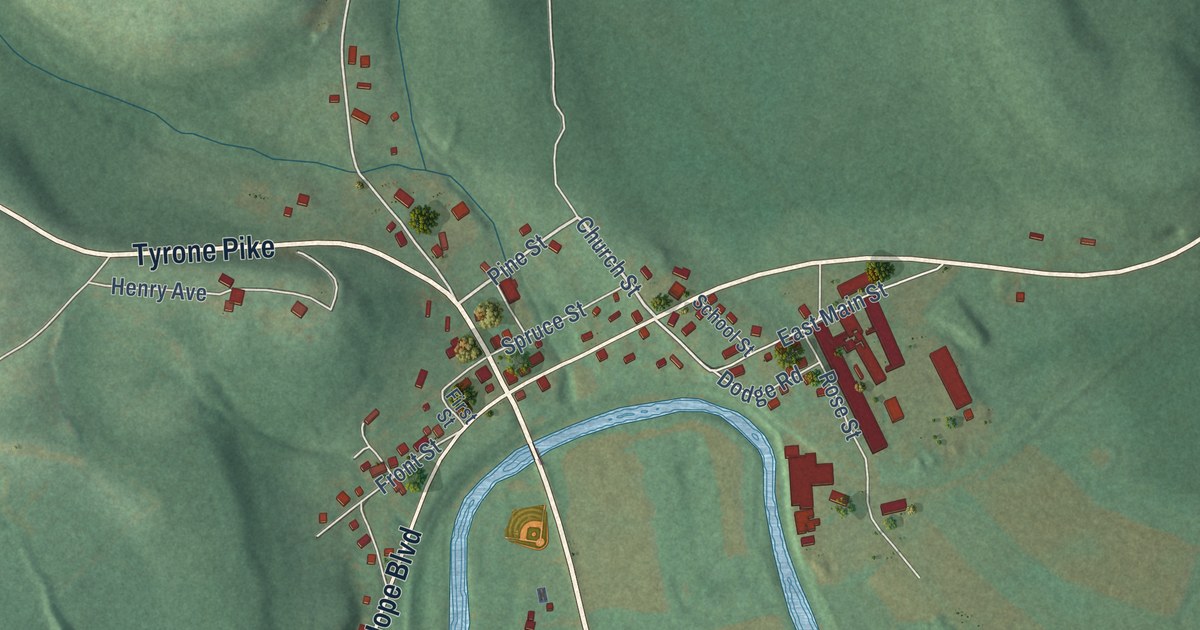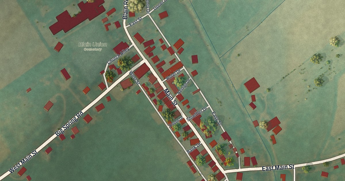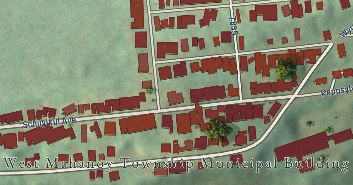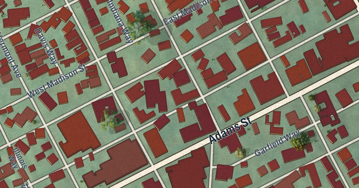
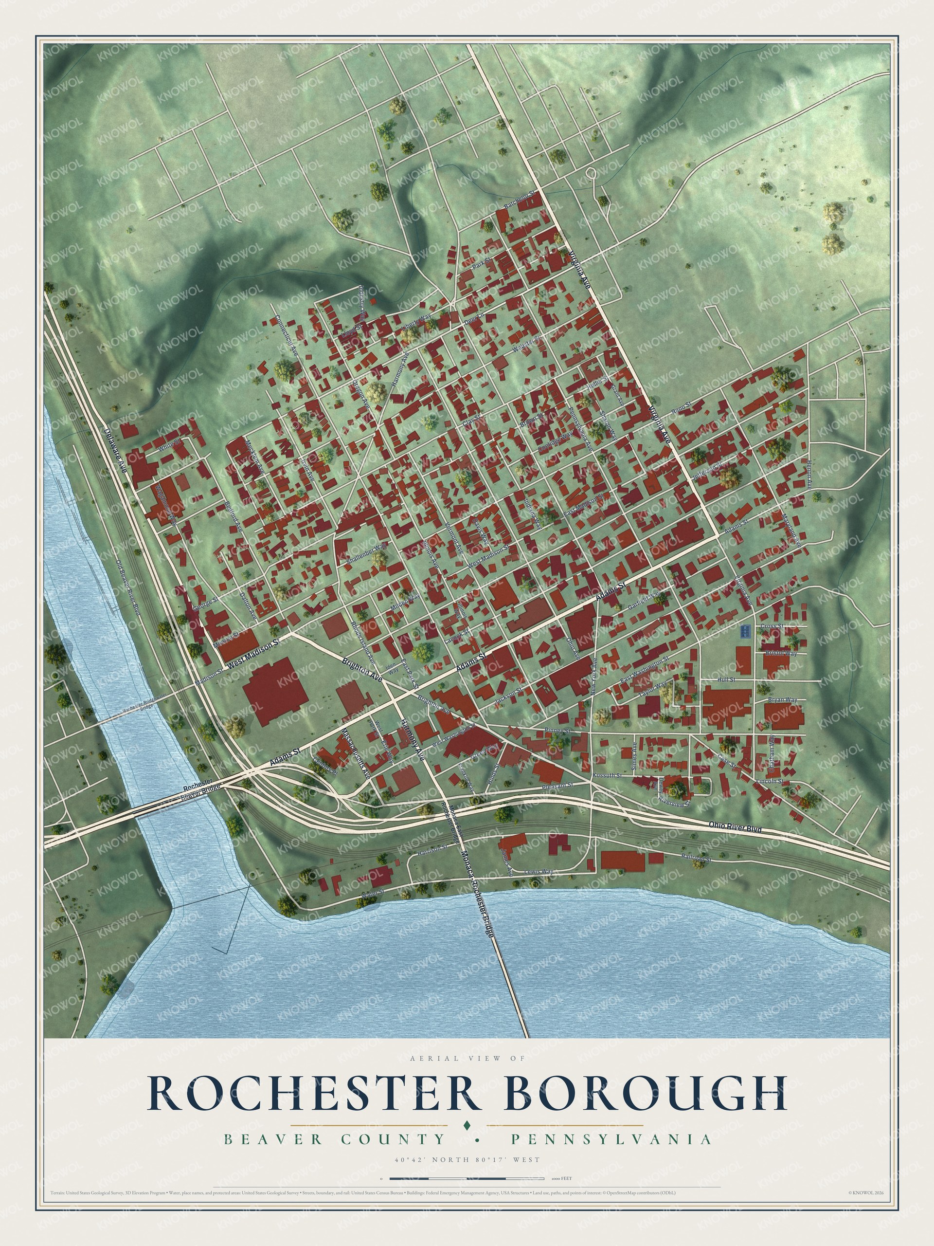
This beautifully detailed map of Rochester Borough, Pennsylvania was created in 2026 using aerial imagery combined with modern topographical, census, street and landmark data. It’s a one-of-a-kind view of Rochester Borough that combines accurate data with a vintage aesthetic. The map shows every building in its true location, many of the roads carry their names, and the shaded topographic relief shows the shape of the land.
Explore an aerial view of Rochester Borough, Pennsylvania
On the map you’ll find Monaca-Rochester Bridge, along with Brighton Avenue, Virginia Avenue, Ohio River Boulevard, Adams Street, West Madison Street, Harmony Avenue, Delaware Avenue, Pleasant Street, Madison Street, Water Street, Deer Lane, and more. If you look closely you can even find your house accurately drawn in its correct location. Zoom in on the preview to look for yours.
Did you know this piece of Rochester Borough, Pennsylvania history?
From Data.pa.gov: "At Shippingport was the world's first full-scale atomic power station devoted to civilian needs."
Take a closer look at the Rochester Borough map
Street names on the Rochester Borough, Pennsylvania map
These names are printed on the map of Rochester Borough, Pennsylvania.
Streets and roads: Brighton Avenue, Virginia Avenue, Ohio River Boulevard, Adams Street, West Madison Street, Harmony Avenue, Delaware Avenue, Monaca-Rochester Bridge, Pleasant Street, Madison Street, Water Street, Deer Lane.
More street names, A to Z
Batchelor Street, Bedford Avenue, Bristol Way, Brown Street, Bryan Way, Case Street, Century Place, Chatham Way, Clay Street, Connecticut Avenue, Coolidge Way, Cross Street, Dalton Avenue, Davis Way, Dewey Avenue, East Madison Street, East Park Street, East Washington Street, Erie Way, Franklin Way, Garfield Way, George Street, Grant Avenue, Green Way, Harrison Street, Heller Street, Henon Avenue, Hinds Street, Hull Street, Iden Way, Illinois Avenue, Illinois Way, Indiana Way, Industry Way, Irvin Avenue, Jackson Street, James Avenue, Jefferson Street, Kossuth Street, Lacock Street, Lewis Way, Liberty Way, Lincoln Street, Lloyd Street, Maryland Avenue, Massachusetts Avenue, Mecklem Avenue, Milden Way, Monaca East Rochester Bridge, Monroe Street, New York Avenue, Ohio Avenue, Old Beaver River Boulevard, Oregon Avenue, Park Street, Pennsylvania Avenue, Pinney Street, Railroad Street, Reno Street, Rhode Island Avenue, Riverview Street, Rochester-Bridgewater Bridge, Rochester Beaver Bridge, Shallenber Way, Sharon Way, Simes Avenue, Taylor Way, Vermont Avenue, Wagamond Way, Webster Street, West Park Street, West Washington Street, White Street.
See the Rochester Borough, Pennsylvania map on a wall
The Rochester Borough, Beaver County map as an 18 x 24 inch print in a black frame.

This beautifully detailed map of Borough of Rochester, Beaver County makes an attractive addition to your office, library, or den, and it can even be used to teach children the geography and history of the area. It also makes a great gift for someone who left Rochester Borough and still calls it home. When you’re done exploring, click here to get your copy of the Borough of Rochester, Beaver County map.