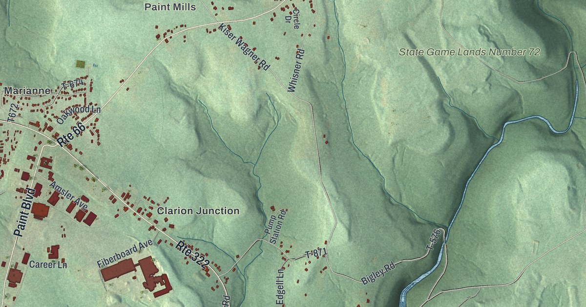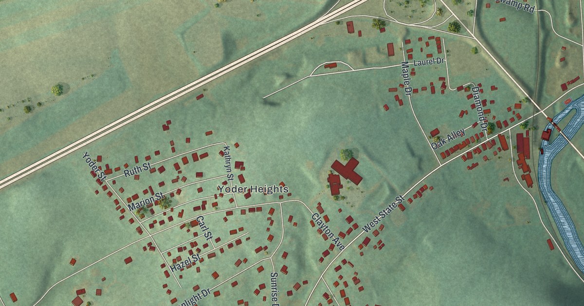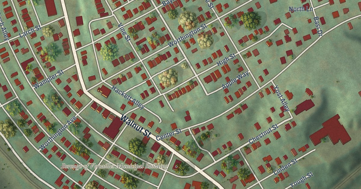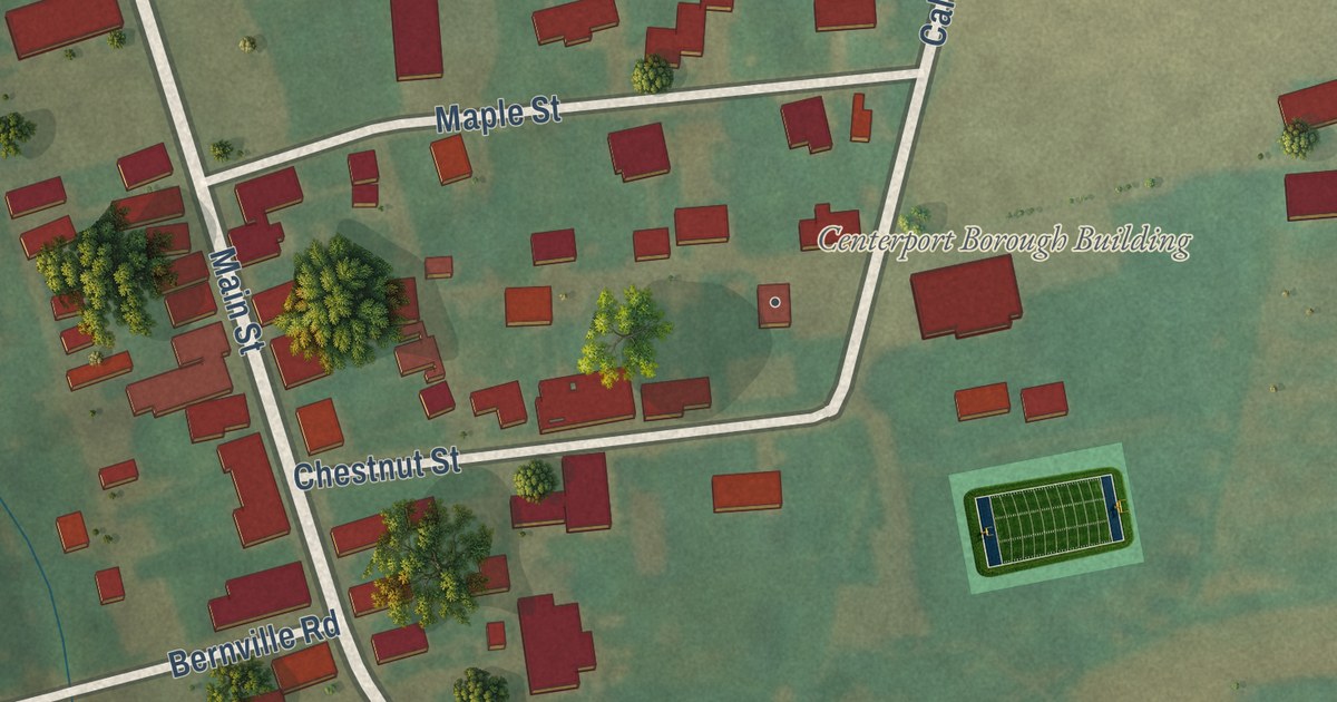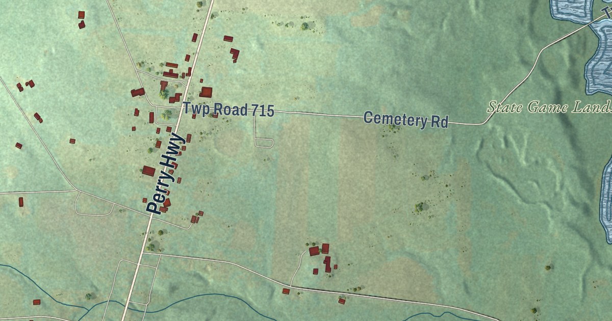
This beautifully detailed map of Sandy Creek, Pennsylvania was created in 2026 using aerial imagery combined with modern topographical, census, street and landmark data. It’s a one-of-a-kind view of Sandy Creek that combines accurate data with a vintage aesthetic. The map shows every building in its true location, many of the roads carry their names, and the shaded topographic relief shows the shape of the land.
Explore an aerial view of Sandy Creek, Pennsylvania
On the map you’ll find Petersburg, State Game Lands Number 270, Twp Road 907, and Twp Road 715, along with Perry Highway, Erin Avenue, Scofield Road, Petersburg Road, Lake Road, County Line Road, Cemetery Road, and more. If you look closely you can even find your house accurately drawn in its correct location. Zoom in on the preview to look for yours.
Did you know this piece of Sandy Creek, Pennsylvania history?
From the 1888 History of Mercer County, Pennsylvania: "The old township of Sandy Creek, with its gigantic area of fifty square miles, was erected in 1804."
Take a closer look at the Sandy Creek map
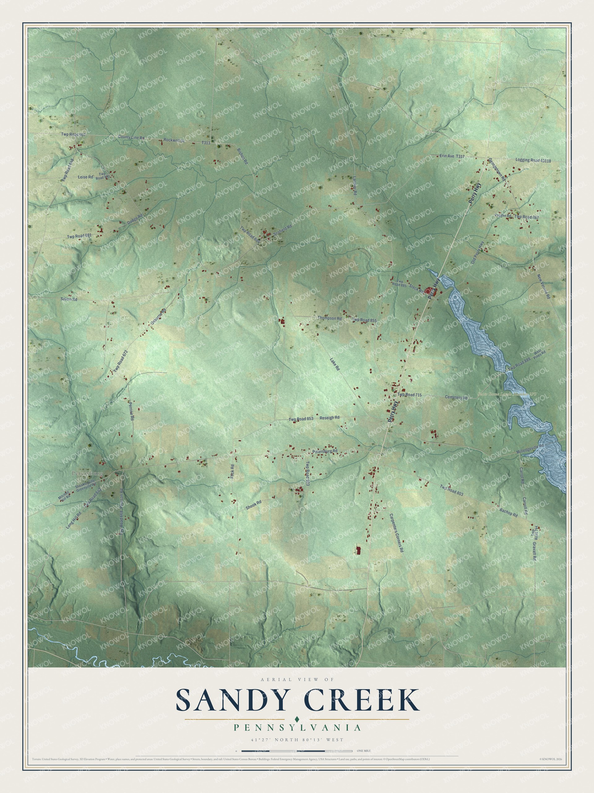
Street and place names on the Sandy Creek, Pennsylvania map
These names are printed on the map of Sandy Creek, Pennsylvania.
Places: Petersburg and State Game Lands Number 270.
Streets and roads: Perry Highway, Erin Avenue, Scofield Road, Petersburg Road, Lake Road, County Line Road, Twp Road 907, Cemetery Road, Twp Road 715, Rockwell Drive, Bishop Road, Twp Road 648.
More street names, A to Z
Bachop Road, Carpenters Corners Road, Carroll Road, Carrol Road, Dodge Road, Flick Road, Georgetown Road, Gravatt Road, Larimer Road, Leise Road, Logging Road 43118, Long Hill Road, Milledgeville Road, Mitchell Hill Road, New Vernon Road, Old Perry Highway, Osborne Road, Pearson Road, Perrine Road, Reseigh Road, Salem Road, Sheakleyville Greenville Road, Shook Road, Steck Road, Thompson Road, Twp Road 642, Twp Road 668, Twp Road 672, Twp Road 694, Twp Road 744, Twp Road 803, Twp Road 823, Twp Road 853, Twp Road 855, Twp Road 881, Twp Road 885, Twp Road 887, Twp Road 888, Twp Road 891, Vaughn Road, West Pines Road.
See the Sandy Creek, Pennsylvania map on a wall
The Sandy Creek map as an 18 x 24 inch print in a black frame.

This beautifully detailed map of Sandy Creek makes an attractive addition to your office, library, or den, and it can even be used to teach children the geography and history of the area. It also makes a great gift for anyone with Sandy Creek roots. When you’re done exploring, click here to get your copy of the Sandy Creek map.