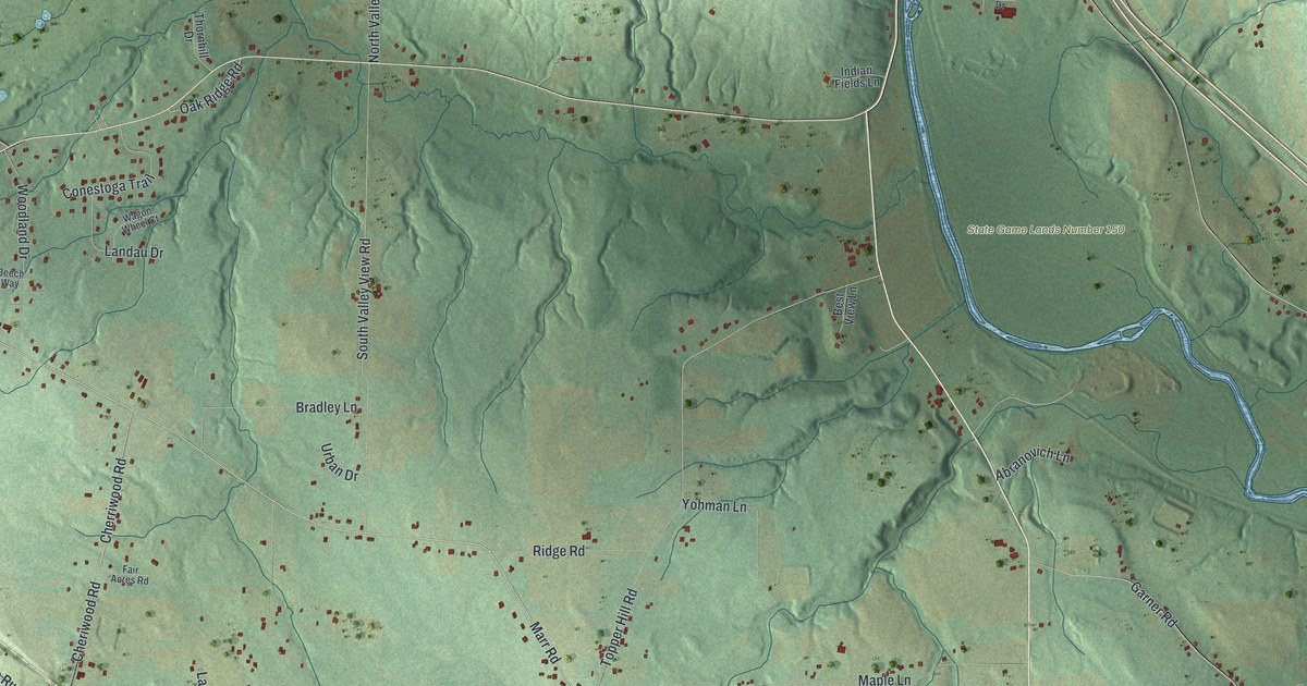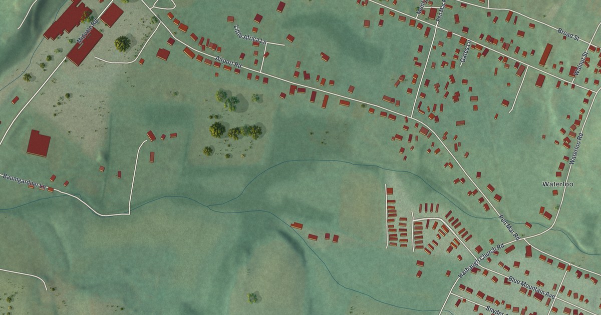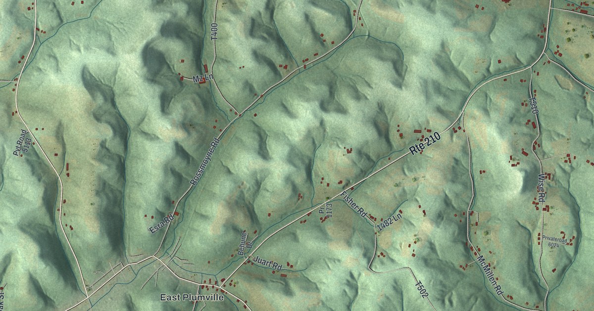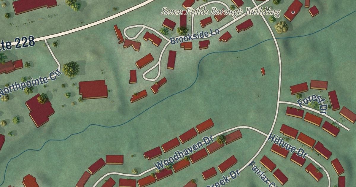
This beautifully detailed map of Seven Fields, Pennsylvania was created in 2026 using aerial imagery combined with modern topographical, census, street and landmark data. It’s a one-of-a-kind view of Seven Fields that combines accurate data with a vintage aesthetic. The map shows every building in its true location, many of the roads carry their names, and the shaded topographic relief shows the shape of the land.
Explore an aerial view of Seven Fields, Pennsylvania
On the map you’ll find Seven Fields Borough Building, along with Old Mars Criders Road, Sycamore Drive, Mars Crider Road, Old Mars Crider Road, Brookside Lane, Forest Drive, Castle Creek Drive, Northridge Drive, Cumberland Drive, Dorchester Drive, and more. If you look closely you can even find your house accurately drawn in its correct location. Zoom in on the preview to look for yours.
Did you know this piece of Seven Fields, Pennsylvania history?
From the Seven Fields Borough: "The land which now comprises Seven Fields was originally farm land, owned primarily by the Speer/Schenk family. Eventually the farms were sold for development in the 1970s. In 1983, the Borough of Seven Fields was incorporated as an independent governing body after the original townhouse developer took the land and seceded from neighboring Cranberry Township."
Take a closer look at the Seven Fields map
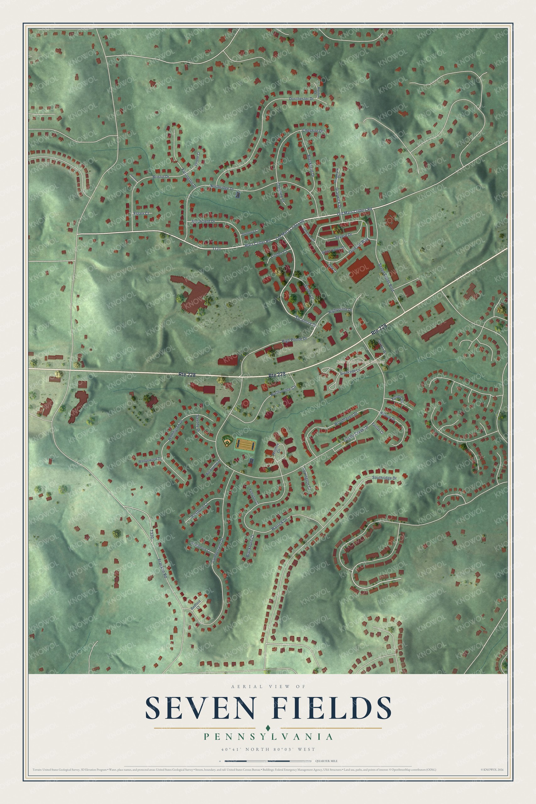
Street and place names on the Seven Fields, Pennsylvania map
These names are printed on the map of Seven Fields, Pennsylvania.
Places: Seven Fields Borough Building.
Streets and roads: Route 228, Old Mars Criders Road, Sycamore Drive, Mars Crider Road, Old Mars Crider Road, Forest Drive, Castle Creek Drive, Northridge Drive, Cumberland Drive, Dorchester Drive, Jameson Way, High Pointe Drive.
More street names, A to Z
Aspen Lane, Bedford Court, Blackburn Court, Bow Court, Breckland Drive, Bristol Court, Bristol Drive, Brookfield Drive, Brookside Lane, Cheshire Court, Cheshire Drive, Covington Court, Dunbury Court, Dunston Court, Essex Court, Fairfax Court, Farrington Drive, Franklin Road, Garden Drive, Graywick Drive, Graywyck Drive, Hampton Court, Highpointe Drive, Hillvue Drive, Jameson Court, Linden Court, Northpointe Circle, Reston Court, Saxony Drive, Seven Fields Boulevard, Severn Drive, Southridge Drive, Strathmore Court, Warrick Drive, Wedgewood Drive, Welbourne Drive, Wellington Drive, Westburn Court, White Haven Drive, Wilshire Circle, Woodhaven Drive.
See the Seven Fields, Pennsylvania map on a wall
The Seven Fields map as an 18 x 24 inch print in a black frame.

This beautifully detailed map of Seven Fields makes an attractive addition to your office, library, or den, and it can even be used to teach children the geography and history of the area. It also makes a great gift for anyone who grew up in Seven Fields or moved away. When you’re done exploring, click here to get your copy of the Seven Fields map.