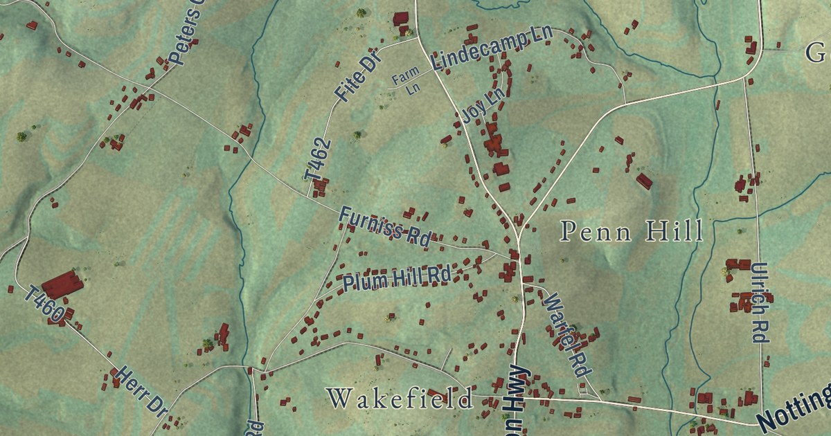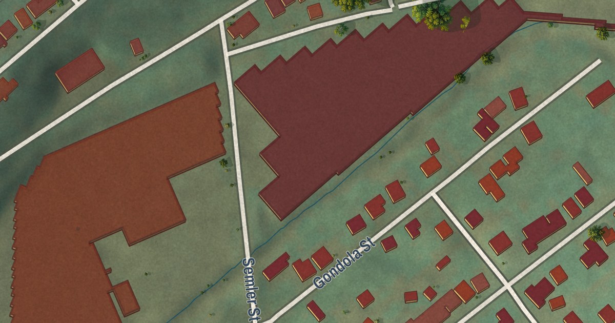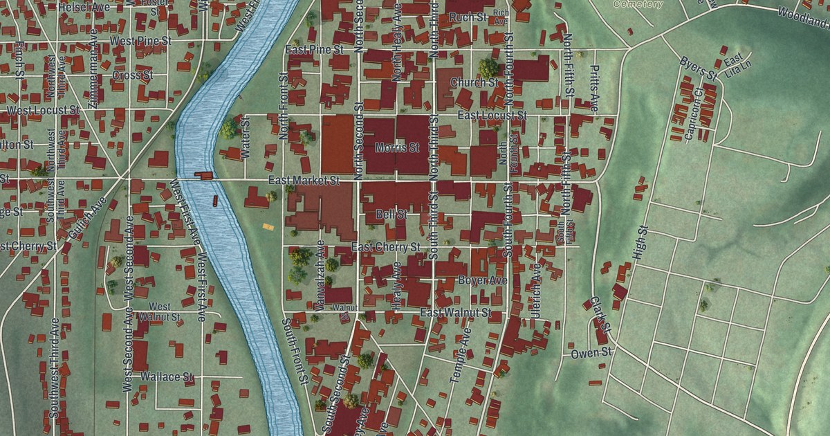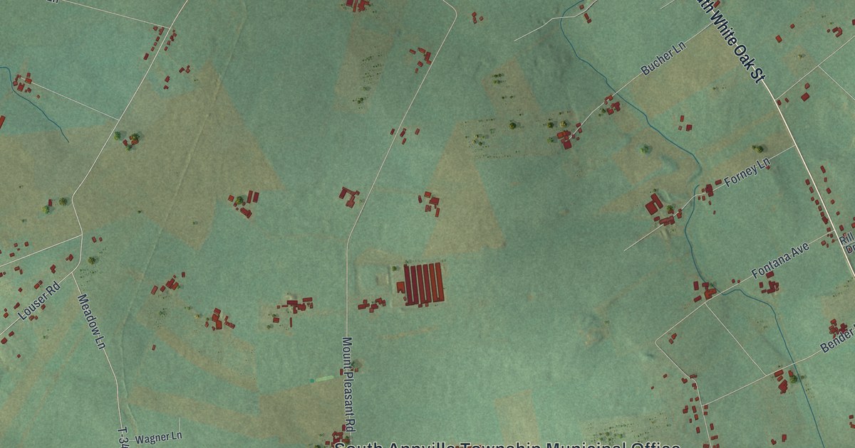
This beautifully detailed map of South Annville, Pennsylvania was created in 2026 using aerial imagery combined with modern topographical, census, street and landmark data. It’s a one-of-a-kind view of South Annville that combines accurate data with a vintage aesthetic. The map shows every building in its true location, many of the roads carry their names, and the shaded topographic relief shows the shape of the land.
Explore an aerial view of South Annville, Pennsylvania
On the map you’ll find South Annville Township Municipal Office, Fontana, Mount Pleasant, Mount Wilson, T-376, and T-404, along with South White Oak Street, West Main Street, Mount Wilson Road, Horseshoe Pike, Killinger Road, Bender Lane, and more. If you look closely you can even find your house accurately drawn in its correct location. Zoom in on the preview to look for yours.
Did you know this piece of South Annville, Pennsylvania history?
South Annville became a separate township in 1845. That year the old Annville Township was divided into northern and southern halves. Annville Township had been formed in 1799. It was named for the town of Annwill, or Anvil, which was laid out in 1762. That’s from the 1926 Pennsylvania a History.
Take a closer look at the South Annville map
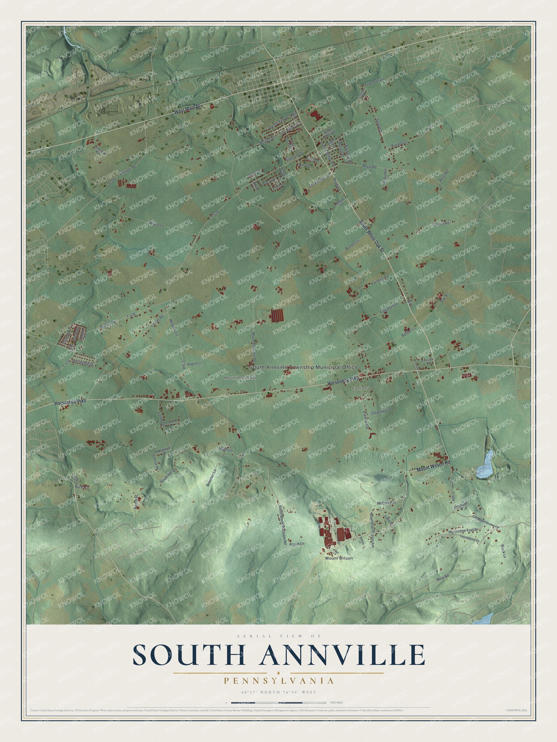
Street and place names on the South Annville, Pennsylvania map
These names are printed on the map of South Annville, Pennsylvania.
Places: South Annville Township Municipal Office, Fontana, Mount Pleasant and Mount Wilson.
Streets and roads: South White Oak Street, West Main Street, Mount Wilson Road, Horseshoe Pike, Killinger Road, T-376, Bender Lane, T-404, Louser Road, T-429, Mount Pleasant Road, South Mount Pleasant Road.
More street names, A to Z
Bachman Road, Beech Street, Behney Drive, Black Lane, Bomgardner Lane, Bowman Lane, Brandt Road, Bricker Lane, Bucher Lane, Bucks Lane, Chris Lane, Church Road, Clearview Lane, Copenhaver Lane, Diamond Drive, Erinn Lane, Fairview Drive, Fieldstone Drive, Fifth Avenue, Finch Drive, First Avenue, Fontana Avenue, Forney Lane, Frattaroli Lane, Gingrich Avenue, Gumtree Road, Horseshoe Drive, Horseshoe Trail Drive, Ironwood Drive, Janlan Road, Keener Lane, Keeney Road, Klinger Lane, Lake Drive, Laurelwood Drive, Little Buck Drive, Locust Road, McCurdy Lane, Meadow Lane, Millennial Way, Miller Lane, Mill Place, Mine Road, Oak Street, Old Mount Gretna Road, Palm Avenue, Peace Lane, Quittie Park Drive, Reigerts Lane, Reist Road, Rill Drive, Roundtop Drive, Roush Lane, Royal Road, Royer Lane, Russell Street, School House Lane, Seventh Avenue, South College Avenue, South Hill Drive, South Lancaster Street, Spruce Street, T-348, T-421, T-433, T-438, Third Avenue, Thornton Lane, Twp Highway 431, Valley Lane, Wagner Lane, Wampler Lane, Wildapple Drive, Woodlawn Drive, Wren Drive.
See the South Annville, Pennsylvania map on a wall
The South Annville map as an 18 x 24 inch print in a black frame.

This beautifully detailed map of South Annville makes an attractive addition to your office, library, or den, and it can even be used to teach children the geography and history of the area. It also makes a great gift for anyone with South Annville roots. When you’re done exploring, click here to get your copy of the South Annville map.