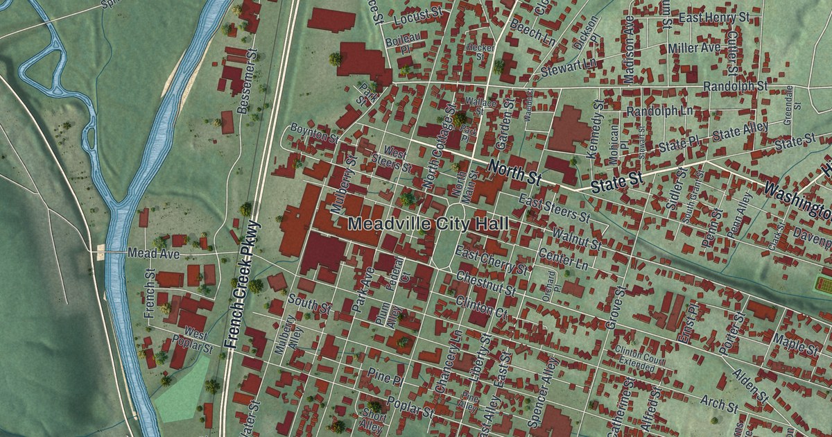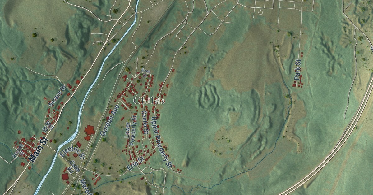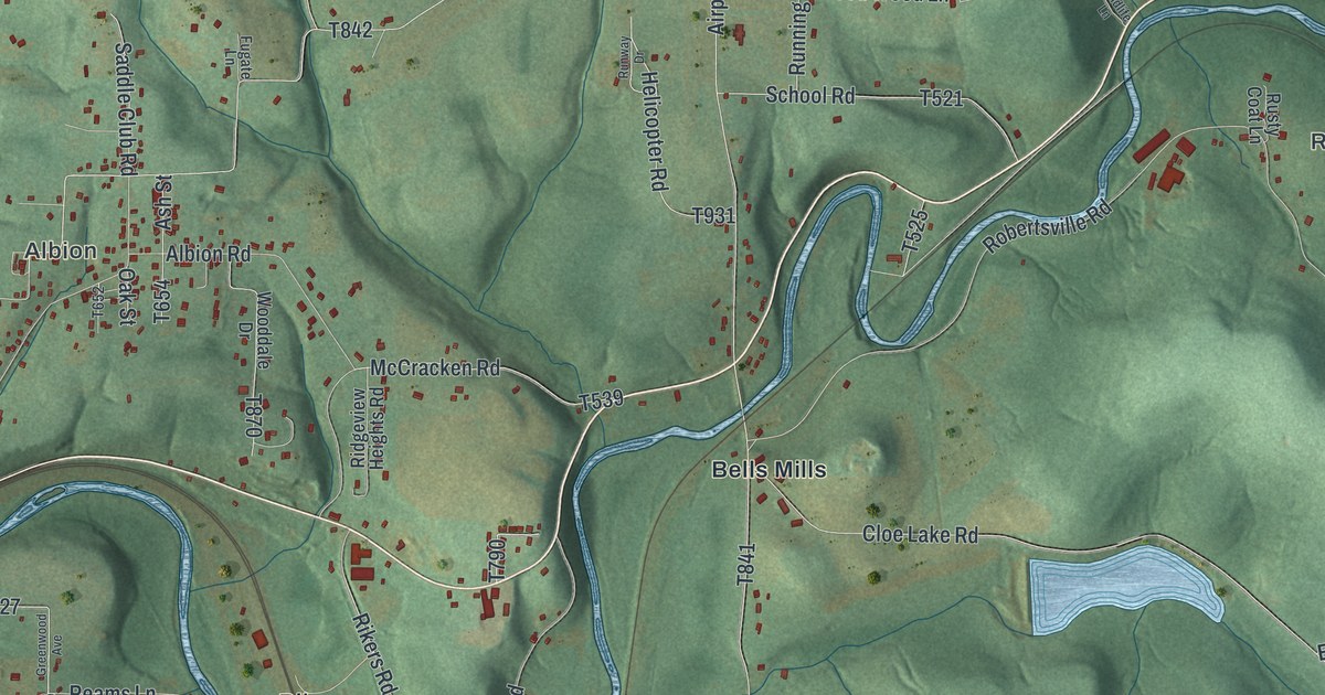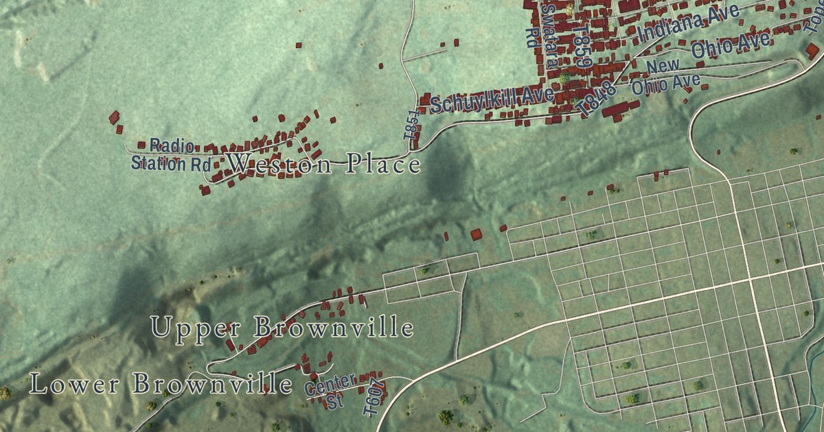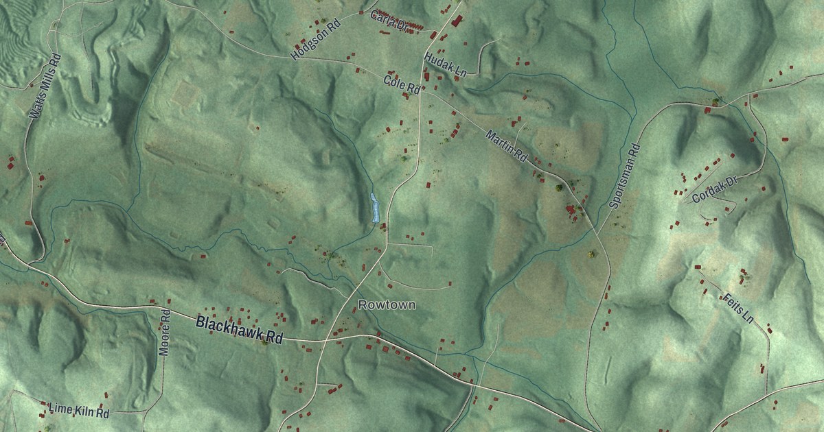
This beautifully detailed map of South Beaver, Pennsylvania was created in 2026 using aerial imagery combined with modern topographical, census, street and landmark data. It’s a one-of-a-kind view of South Beaver that combines accurate data with a vintage aesthetic. The map shows every building in its true location, many of the roads carry their names, and the shaded topographic relief shows the shape of the land.
Explore an aerial view of South Beaver, Pennsylvania
On the map you’ll find Rowtown, State Game Lands Number 285, and Blackhawk, along with Salem Church Road, Blackhawk Road, Constitution Boulevard, Old Darlington Road, Lisbon Road, Bradys Run Road, Old Blackhawk Road, Georgetown Road, Watts Mills Road, and more. If you look closely you can even find your house accurately drawn in its correct location. Zoom in on the preview to look for yours.
Did you know this piece of South Beaver, Pennsylvania history?
From the History of Beaver County: "At the May session, 1805, the court ordered the division of South Beaver township into South Beaver and Ohio townships."
Take a closer look at the South Beaver map
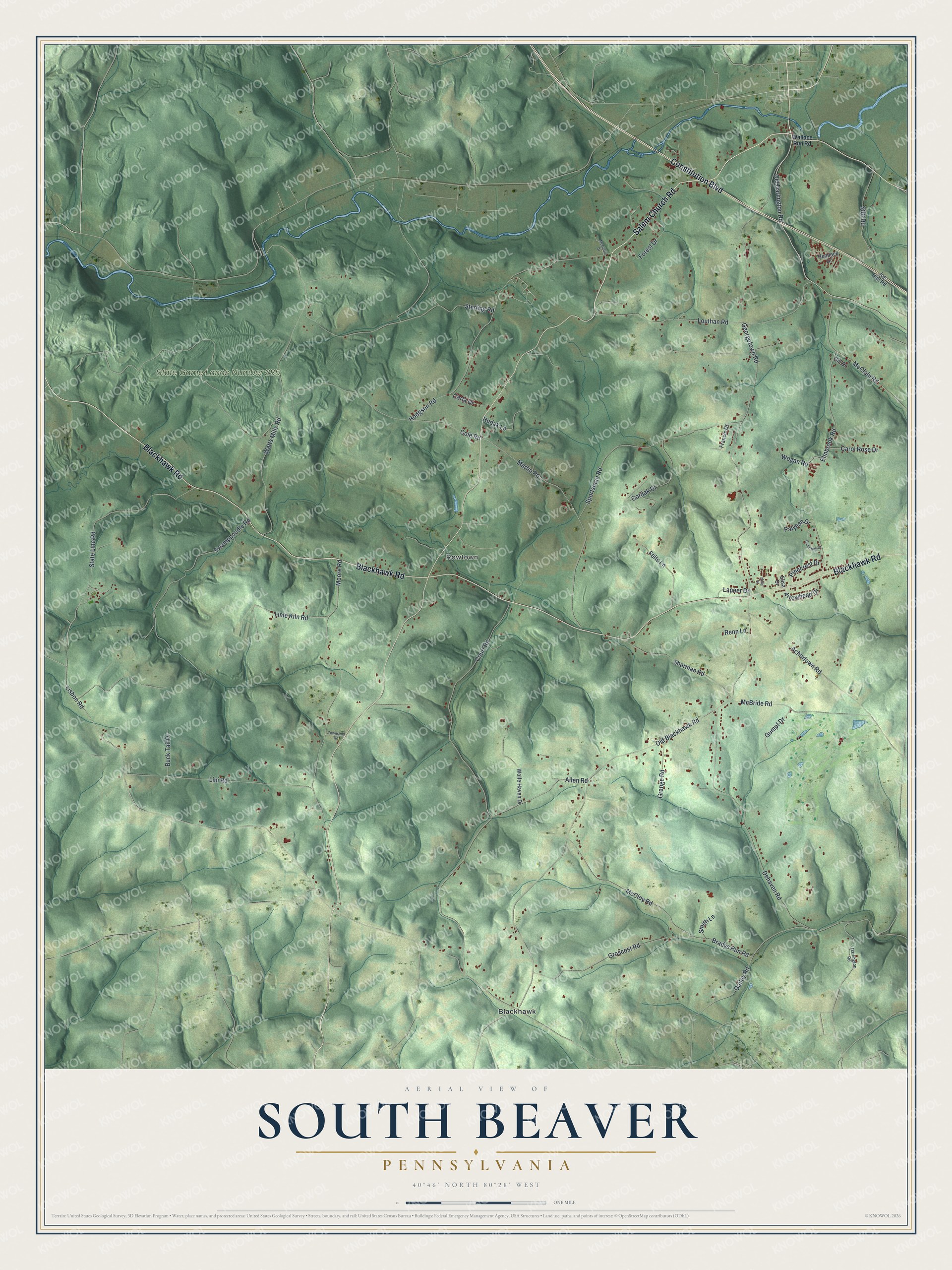
Street and place names on the South Beaver, Pennsylvania map
These names are printed on the map of South Beaver, Pennsylvania.
Places: Rowtown, State Game Lands Number 285 and Blackhawk.
Streets and roads: Salem Church Road, Blackhawk Road, Constitution Boulevard, Old Darlington Road, Lisbon Road, Bradys Run Road, Old Blackhawk Road, Georgetown Road, Watts Mills Road, Moore Road, Allen Road, Hodgson Road.
More street names, A to Z
Achortown Road, Arrowhead Drive, Buck Tail Drive, Carla Drive, Carol Rose Drive, Cole Road, Cordak Drive, Court Road, Darlington Road, Dehaven Road, Elisa Drive, Elmbrook Drive, Elmbrook Road, Feits Lane, Forest Drive, Francis Drive, Gailey Road, Gill Drive, Grange Road, Groscost Road, Gumpf Drive, Hemlock Drive, Hudak Lane, Joe Hall Road, Kelly Drive, Lapeer Drive, Lihi Road, Lime Kiln Road, Louthan Road, Martin Road, McBride Road, McClain Road, McCloy Road, McGaffin Drive, Palyash Drive, Pinecrest Drive, Renn Lane, Sherman Road, Smith Lane, Sportsman Road, State Line Road, Sterling Road, Stitt Road, Swamppoodle Road, Townsend Road, Wallace Run Road, Wogan Road, Wolfe Haven Drive.
See the South Beaver, Pennsylvania map on a wall
The South Beaver map as an 18 x 24 inch print in a black frame.

This beautifully detailed map of South Beaver makes an attractive addition to your office, library, or den, and it can even be used to teach children the geography and history of the area. It also makes a great gift for anyone with South Beaver roots. When you’re done exploring, click here to get your copy of the South Beaver map.