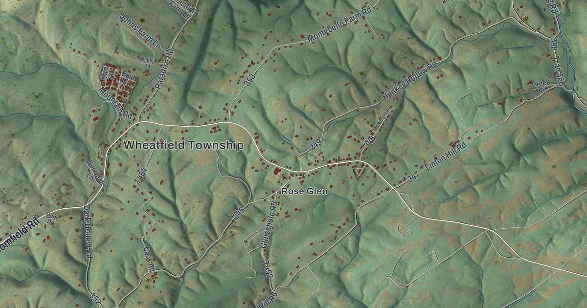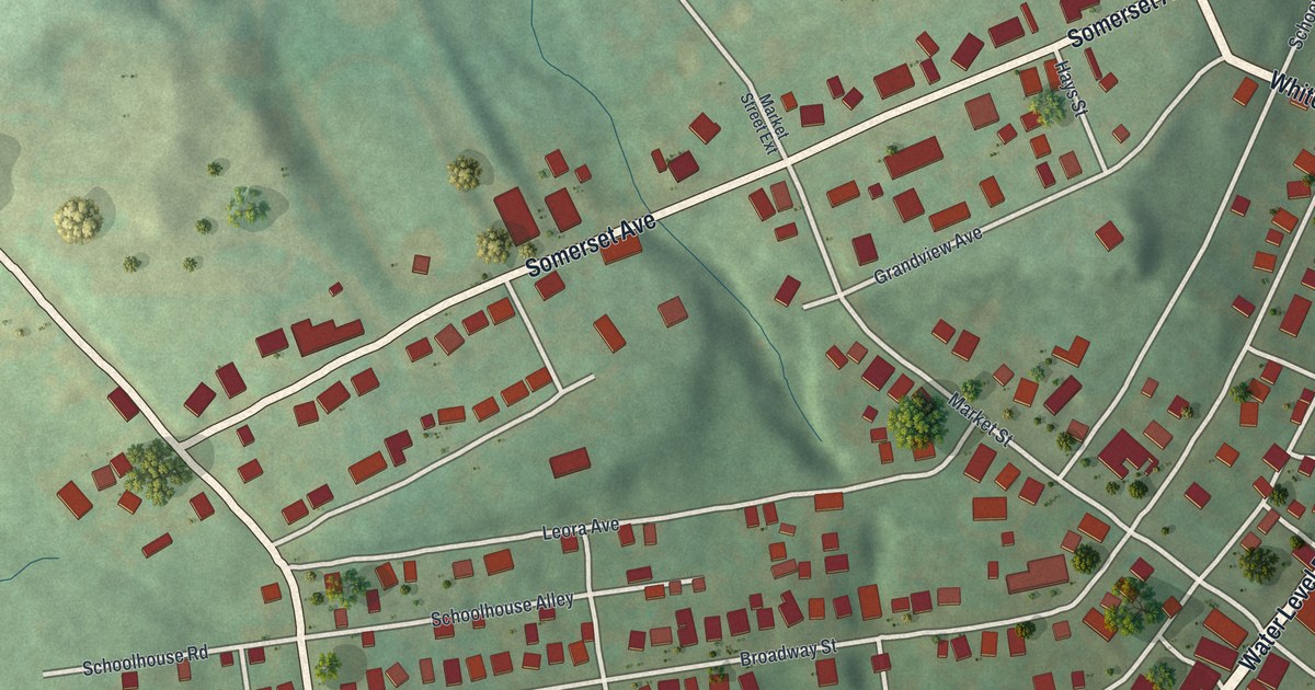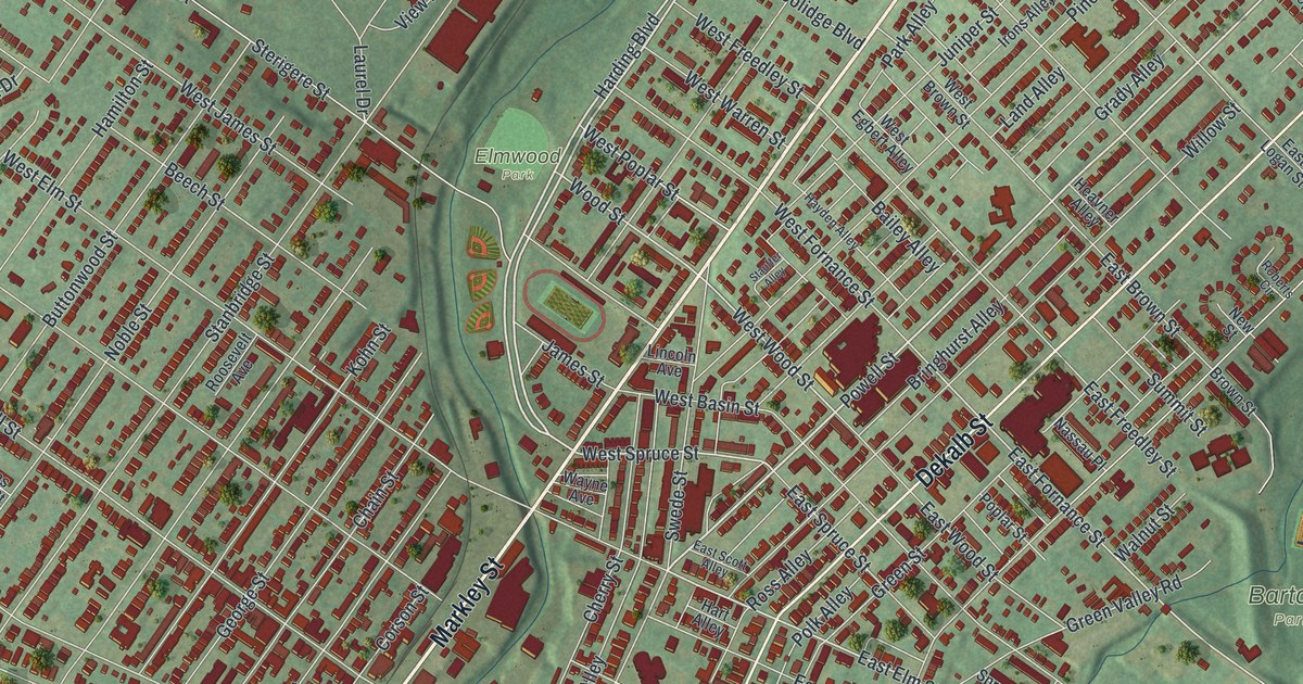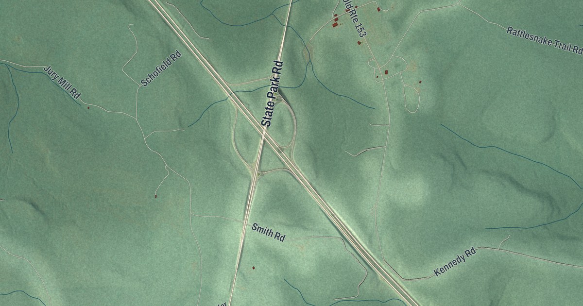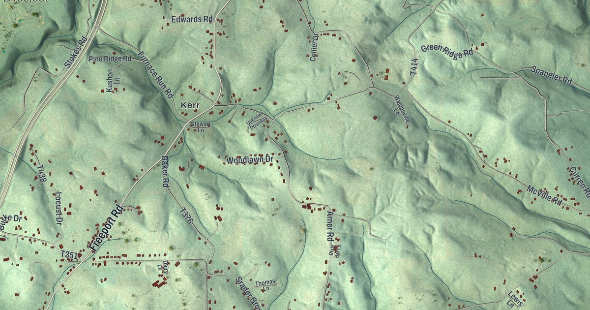
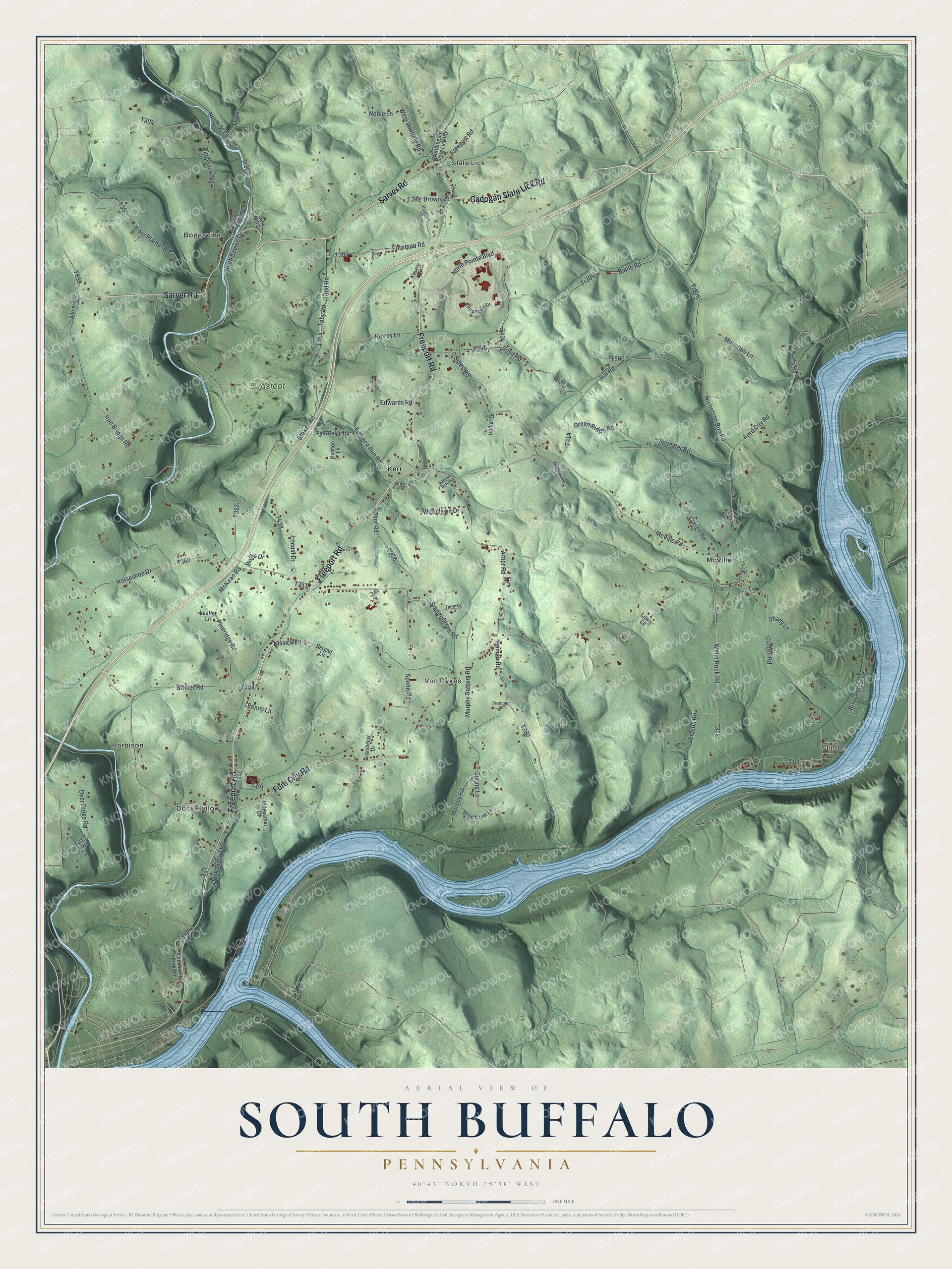
This beautifully detailed map of South Buffalo, Pennsylvania was created in 2026 using aerial imagery combined with modern topographical, census, street and landmark data. It’s a one-of-a-kind view of South Buffalo that combines accurate data with a vintage aesthetic. The map shows every building in its true location, many of the roads carry their names, and the shaded topographic relief shows the shape of the land.
Explore an aerial view of South Buffalo, Pennsylvania
On the map you’ll find Boggsville, Clinton, Dock Hollow, Harbison, Kerr, McVille, Slate Lick, Van Dykes, and Birdsfoot, along with Freeport Road, Cadogan Slate Lick Road, Sarver Road, and more. If you look closely you can even find your house accurately drawn in its correct location. Zoom in on the preview to look for yours.
Did you know this piece of South Buffalo, Pennsylvania history?
Benjamin Franklin once owned land in South Buffalo Township. At sales of depreciation lands held at the Merchants’ Coffee House in Philadelphia, he bought 11 lots, and 10 of them lay in this township. He paid one penny for some and two pence an acre for others. His patents were granted on November 1, 1787. That’s from Robert Walter Smith’s 1883 History of Armstrong County, Pennsylvania.
Take a closer look at the South Buffalo map
Street and place names on the South Buffalo, Pennsylvania map
These names are printed on the map of South Buffalo, Pennsylvania.
Places: Boggsville, Clinton, Dock Hollow, Harbison, Kerr, McVille, Slate Lick, Van Dykes and Birdsfoot.
Streets and roads: Freeport Road, Cadogan Slate Lick Road, Sarver Road, Ford City Road, Horseshoe Drive, Iron Bridge Road, Srader Grove Road, Tr846, Boyd Road, Arner Road, North Pointe Boulevard, McVille Road.
More street names, A to Z
Abby Lane, Armstrong Drive, Bable Road, Baker Road, Bergad Lane, Brown Road, Burke Drive, Clinton Road, Collier Drive, Community Park Road, Copperhead Lane, Corn Planter Road, Curren Road, Dairy Lane, Deer Ridge, Deer Ridge Road, Dixie Bar Lane, Dock Hollow Road, Duffy Road, Edwards Road, Foreman Road, Freeman Lane, Furnace Run Road, Grandview Drive, Green Ridge Road, Hill Road, Hudson Road, Iseman Road, Kelroy Lane, Kissick Lane, Kountz Lane, Kushon Lane, Lauffer Lane, Lewis Lane, Locust Drive, McKean Road, Mountain Lane, Murphy Bottom Road, Murphy Road, Nicholson Run Road, Noble Lane, North Scenic Drive, Painter Lane, Penny Lane, Pineridge Road, Pine Ridge Road, Pine Tree Lane, Ridgecrest Drive, Ridgeview Road, River Forest Drive, River Road, Saw Mill Drive, Shady Lane, Shipe Lane, Sipes Road, South Scenic Drive, Spangler Road, Spohn Road, Spring Lane, Spruce Lane, Stewart Lane, Stokes Road, Striker Road, Thomas Lane, Toby Road, Todd Road, Tr301, Tr308, Tr395, Unknown Driveway, Waldenville Lane, West Winfield Road, White Rock Road, Wind Crest Lane, Woodlawn Drive, Worthington Slate Lick Road.
See the South Buffalo, Pennsylvania map on a wall
The South Buffalo map as an 18 x 24 inch print in a black frame.

This beautifully detailed map of South Buffalo makes an attractive addition to your office, library, or den, and it can even be used to teach children the geography and history of the area. It also makes a great gift for someone who left South Buffalo and still calls it home. When you’re done exploring, click here to get your copy of the South Buffalo map.