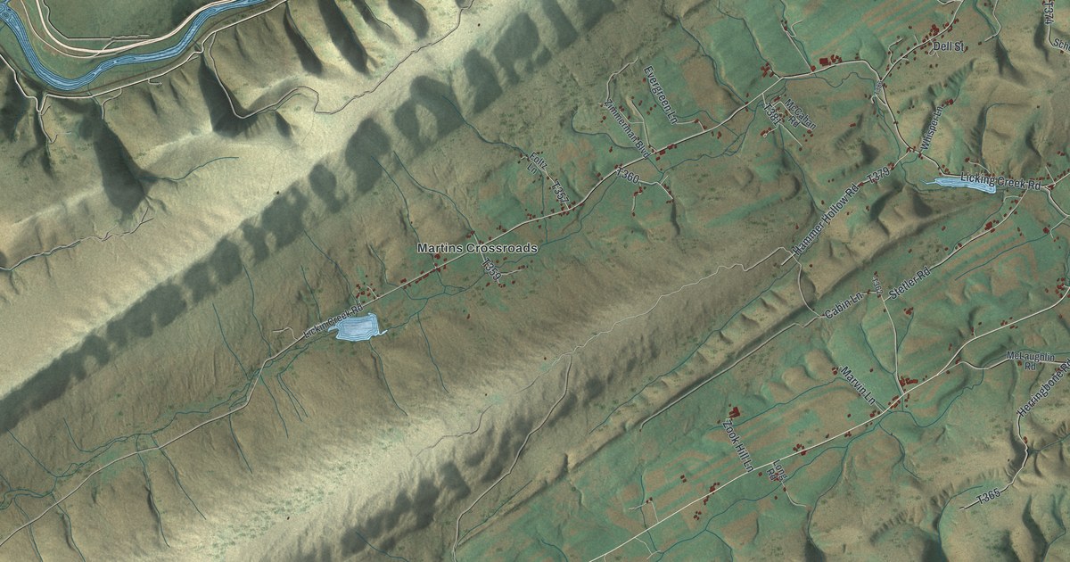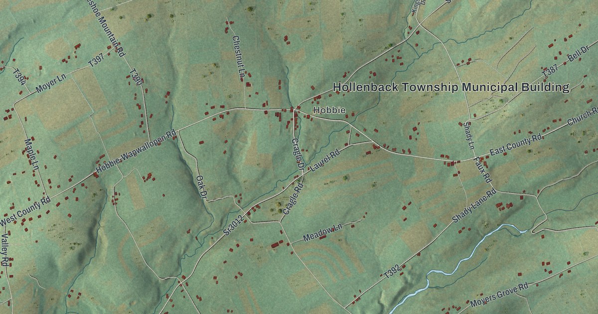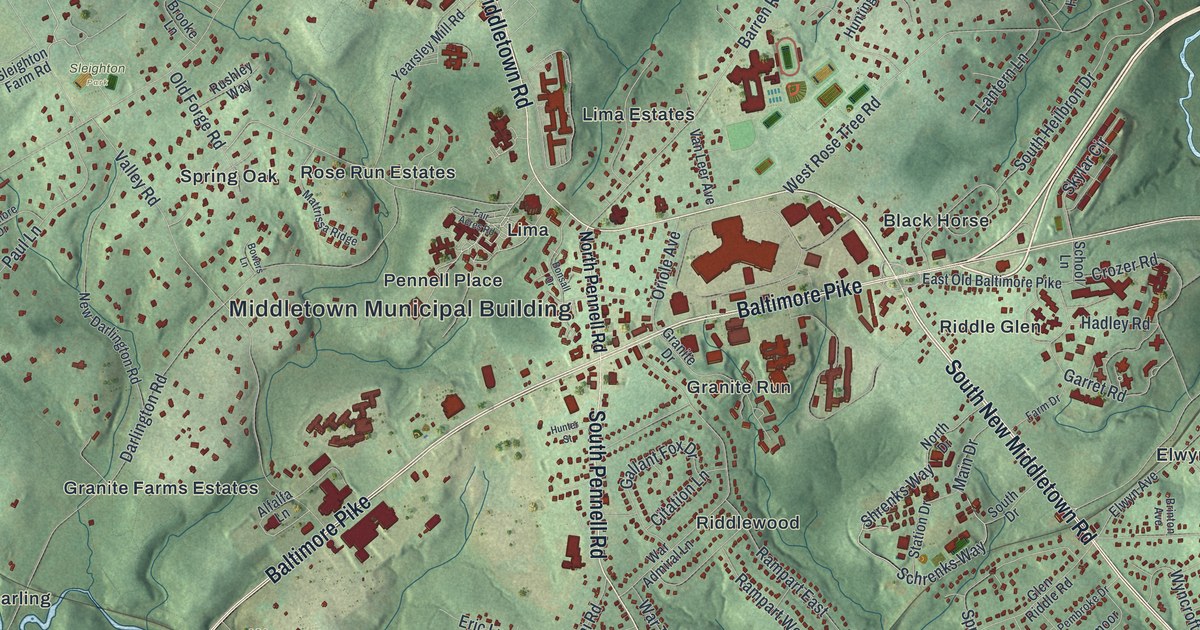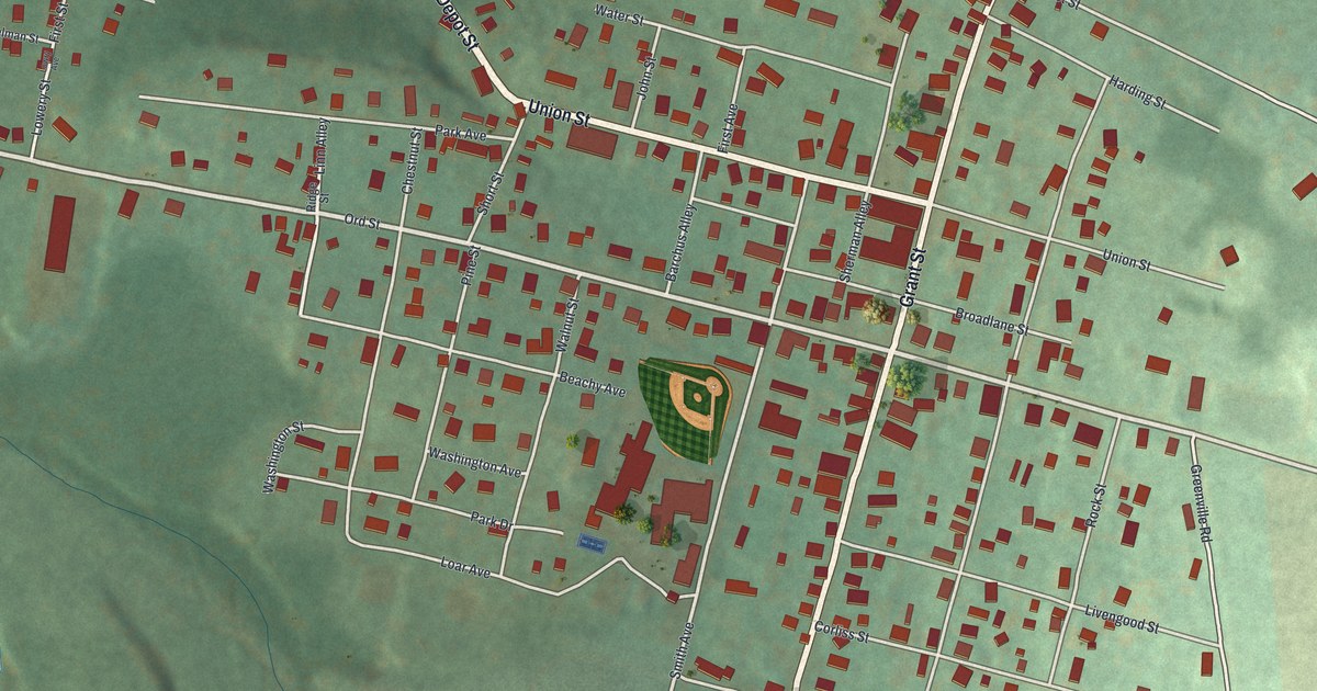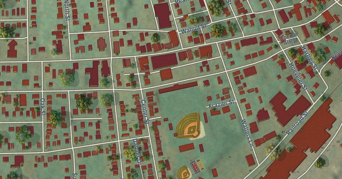
This beautifully detailed map of Springdale Borough, Pennsylvania was created in 2026 using aerial imagery combined with modern topographical, census, street and landmark data. It’s a one-of-a-kind view of Springdale Borough that combines accurate data with a vintage aesthetic. The map shows every building in its true location, many of the roads carry their names, and the shaded topographic relief shows the shape of the land.
Explore an aerial view of Springdale Borough, Pennsylvania
On the map you’ll find South Duquesne Avenue, North Duquesne Avenue, Butler Street, Rosslyn Avenue, Pittsburgh Street, Lincoln Avenue, Colfax Street, South Railroad Street, Walnut Street, Willow Street, Porter Street, James Street, and more. If you look closely you can even find your house accurately drawn in its correct location. Zoom in on the preview to look for yours.
Did you know this piece of Springdale Borough, Pennsylvania history?
Rachel Carson, the biologist who later wrote Silent Spring, was born in Springdale in 1907. Her family had moved into a four-room farmhouse here in 1901. She lived there until she finished college in 1929. Her birthplace joined the National Register of Historic Places in 1976 and welcomes visitors today.
Take a closer look at the Springdale Borough map
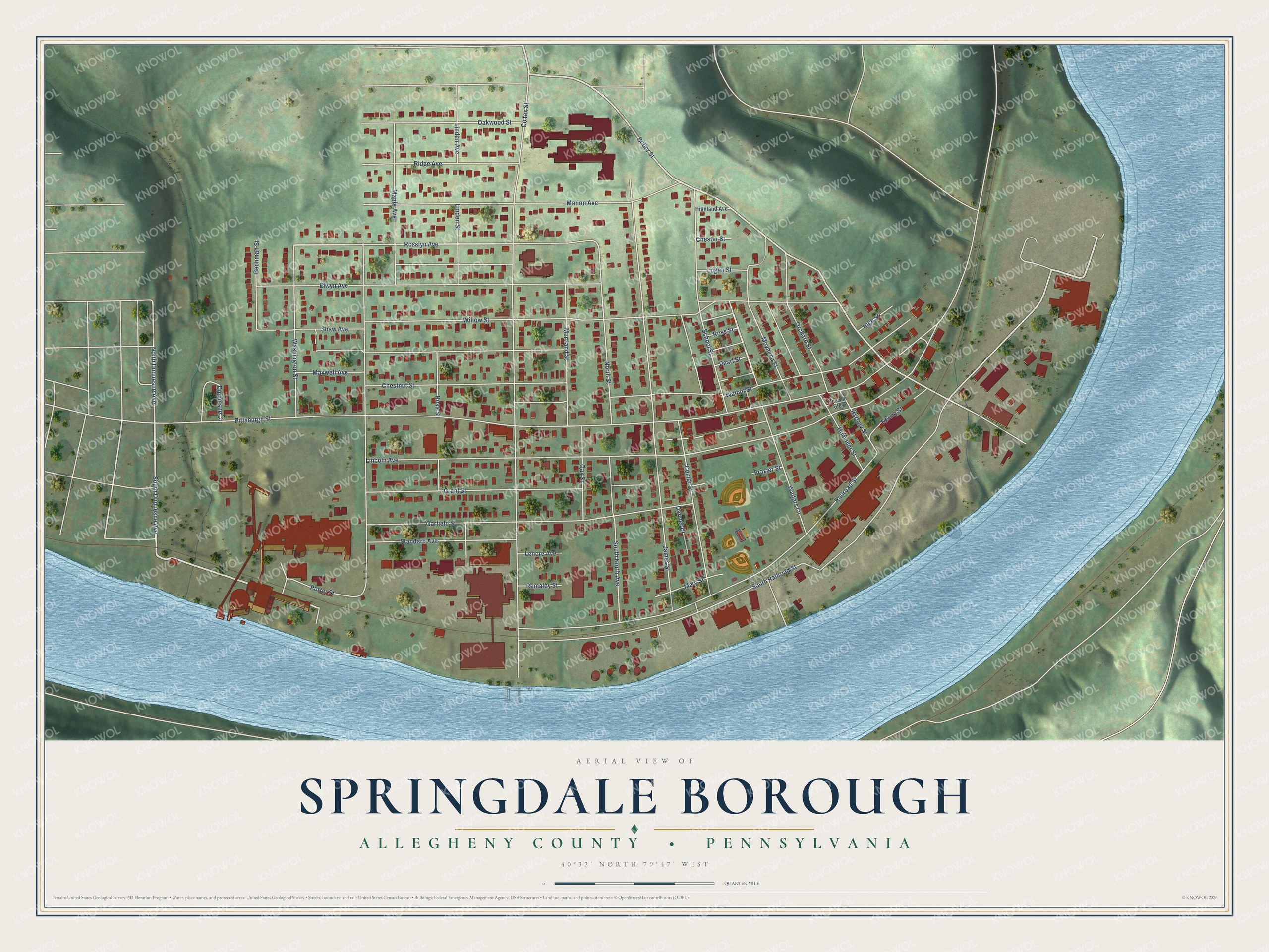
Street names on the Springdale Borough, Pennsylvania map
These names are printed on the map of Springdale Borough, Pennsylvania.
Streets and roads: South Duquesne Avenue, North Duquesne Avenue, Butler Street, Rosslyn Avenue, Pittsburgh Street, Lincoln Avenue, Colfax Street, South Railroad Street, Walnut Street, Willow Street, Porter Street, James Street.
More street names, A to Z
Bechman Street, Center Street, Chester Street, Chestnut Street, Church Alley, Danner Drive, Duquesne Court, Elwyn Avenue, Frazier Street, Garfield Street, Grant Street, Hartrey Street, Highland Avenue, High Street, Hoeveler Street, Keene Street, Lenore Avenue, Linden Avenue, Linden Street, Logan Street, Maple Avenue, Marion Avenue, Mary Street, Maxwell Avenue, Moyhend Street, Murtland Street, North Street, Oak Street, Oakwood Street, Orchard Street, Pearl Street, Railroad Street, Remaley Street, Ridge Avenue, Rosa Street, Ross Street, School Street, Shaw Avenue, South North Avenue, Standard Avenue, Walters Lane, Washington Street.
See the Springdale Borough, Pennsylvania map on a wall
The Springdale Borough, Allegheny County map as an 18 x 24 inch print in a black frame.

This beautifully detailed map of Borough of Springdale, Allegheny County makes an attractive addition to your office, library, or den, and it can even be used to teach children the geography and history of the area. It also makes a great gift for anyone with Springdale Borough roots. When you’re done exploring, click here to get your copy of the Borough of Springdale, Allegheny County map.