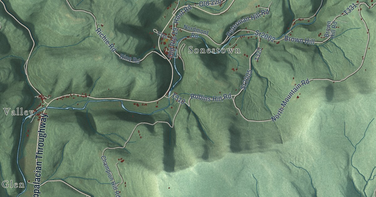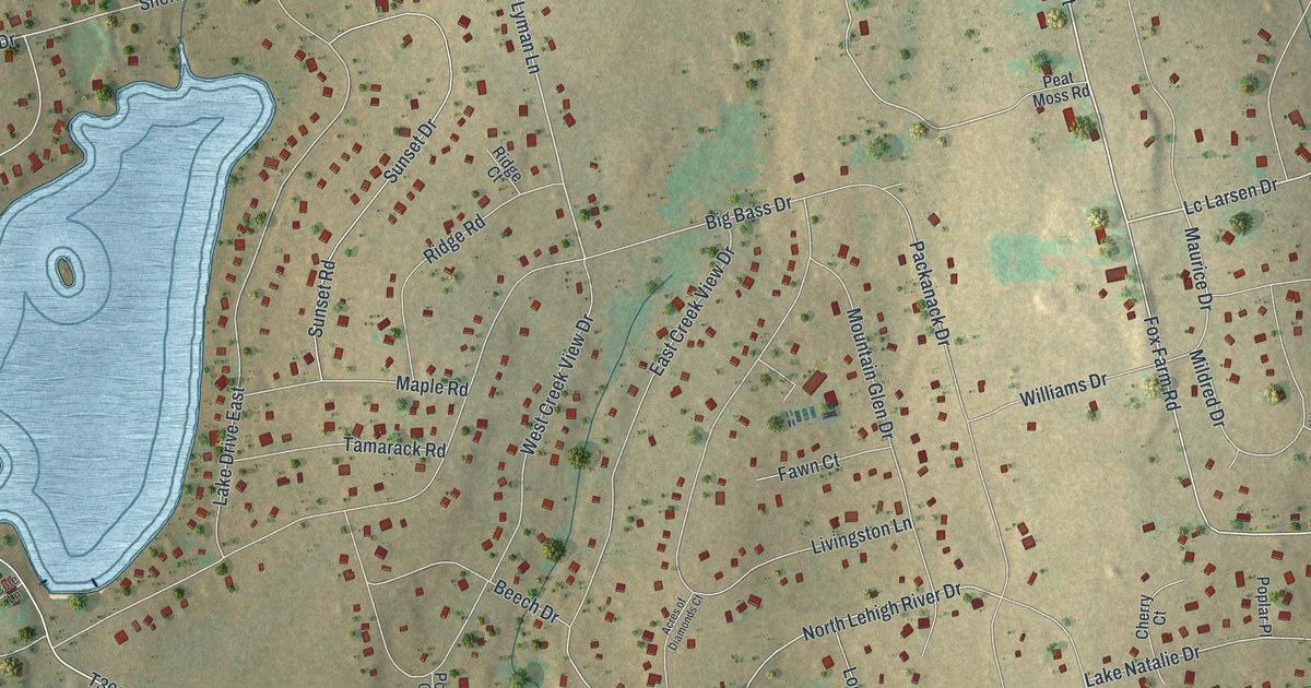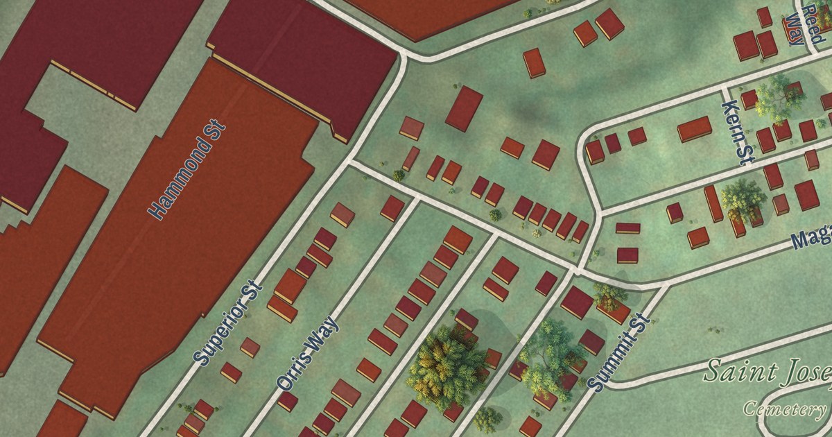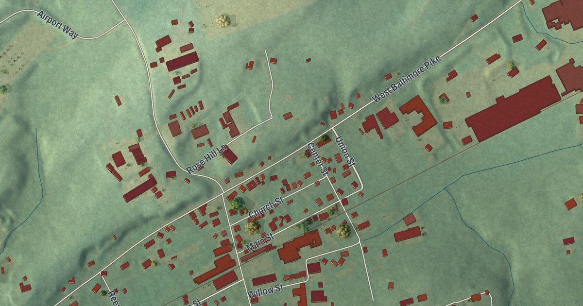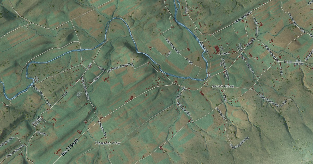
This beautifully detailed map of Spruce Hill, Pennsylvania was created in 2026 using aerial imagery combined with modern topographical, census, street and landmark data. It’s a one-of-a-kind view of Spruce Hill that combines accurate data with a vintage aesthetic. The map shows every building in its true location, many of the roads carry their names, and the shaded topographic relief shows the shape of the land.
Explore an aerial view of Spruce Hill, Pennsylvania
On the map you’ll find Pleasant View, Academia, Seven Pines, Run Gap, T-347, and T-Lanes, along with Center Road, Mountain Road, Ebenezer Church Road, and more. If you look closely you can even find your house accurately drawn in its correct location. Zoom in on the preview to look for yours.
Did you know this piece of Spruce Hill, Pennsylvania history?
Spruce Hill Township shares the longest covered bridge still standing in Pennsylvania. The Academia Pomeroy Covered Bridge stretches 278 feet over Tuscarora Creek to Beale Township. Builders finished the single-lane, two-span bridge in 1902. The Juniata County Historical Society has owned it since 1962.
Take a closer look at the Spruce Hill map
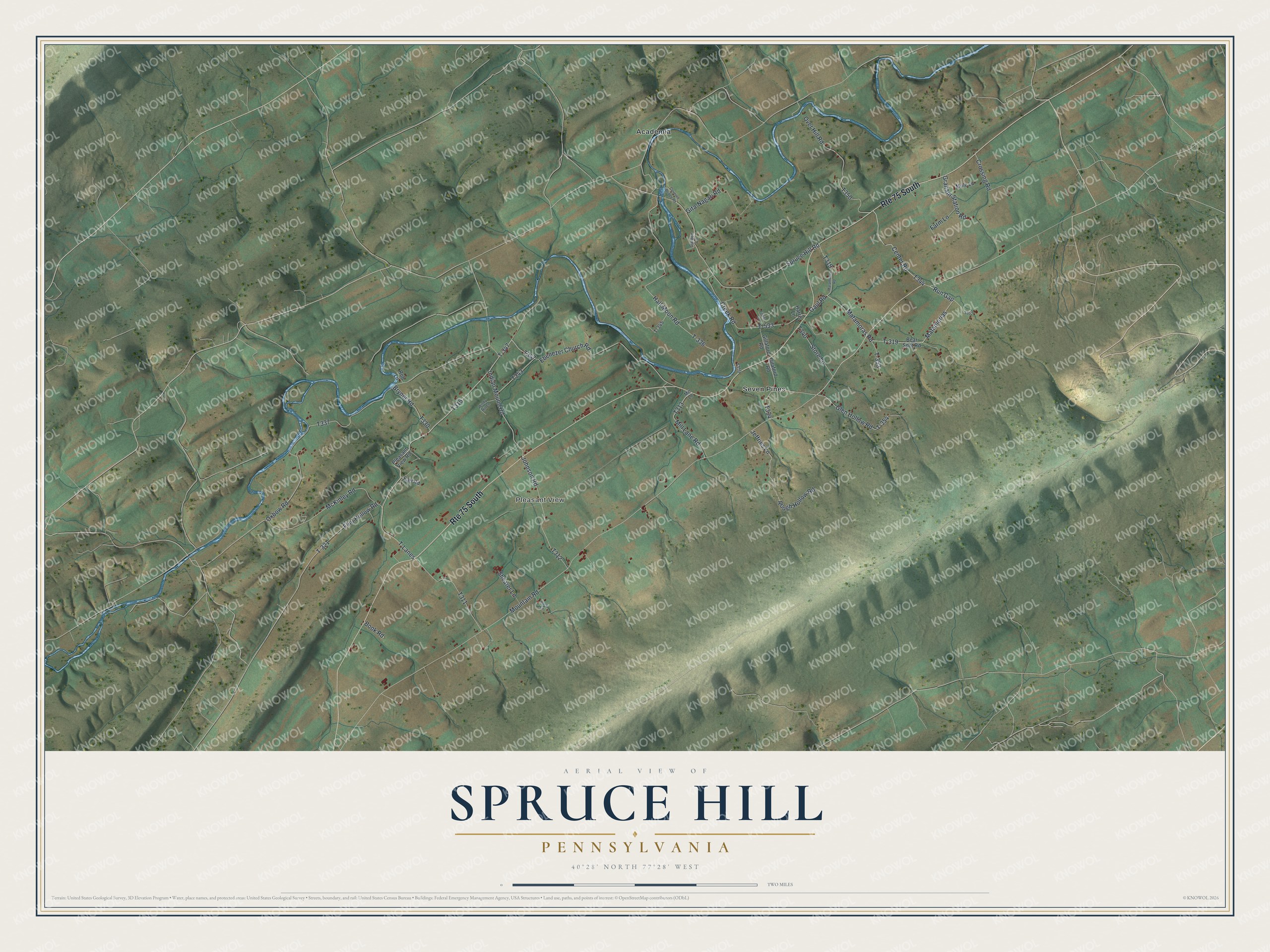
Street and place names on the Spruce Hill, Pennsylvania map
These names are printed on the map of Spruce Hill, Pennsylvania.
Places: Pleasant View, Academia and Seven Pines.
Streets and roads: Route 75 South, Center Road, Run Gap, Mountain Road, T-347, T-Lanes, Ebenezer Church Road, Matamorias, T-319, Indian Mound Road, Mill Lane Road, Half Moon Road.
More street names, A to Z
Bear Spot Road, Book Road, Bryner Road, Covered Bridge Road, Creek Road, Crossing Road, Earl Road, Farm Lane, Fisher Lane, Flint Hollow Road, Garden Lane, Gaul Road, Gilaford Road, Gillaford Road, Gita-Nagari Road, Glen Hollow Road, Graham Station Road, Harris Lane, Jeffries Lane, Johnson Road, Matamoras Road, Matamorus Road, McKinley Road, Mill Lane, Mule Lane, Over Hill Road, Oxbow Road, Pleasant View Road, Rob Lane, Rock Lane, Rough Hollow Road, Shearer Lane, Spruce Hill Road, Store Lane, T-321, T-336, T-345, T-353, T-354, T-533, Windy Hill Lane.
See the Spruce Hill, Pennsylvania map on a wall
The Spruce Hill map as an 18 x 24 inch print in a black frame.

This beautifully detailed map of Spruce Hill makes an attractive addition to your office, library, or den, and it can even be used to teach children the geography and history of the area. It also makes a great gift for someone who left Spruce Hill and still calls it home. When you’re done exploring, click here to get your copy of the Spruce Hill map.