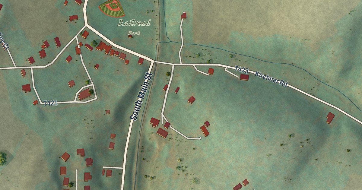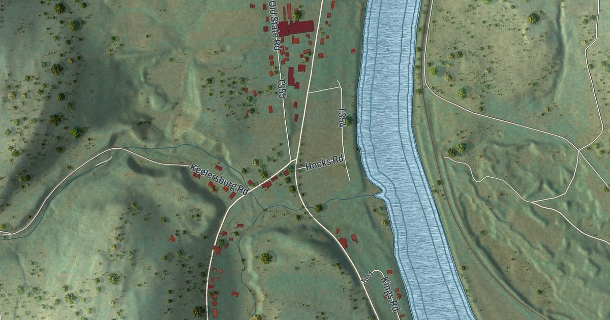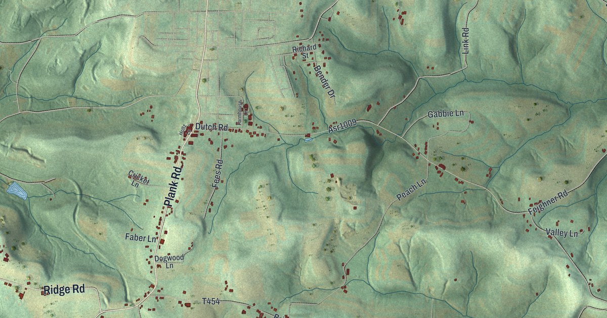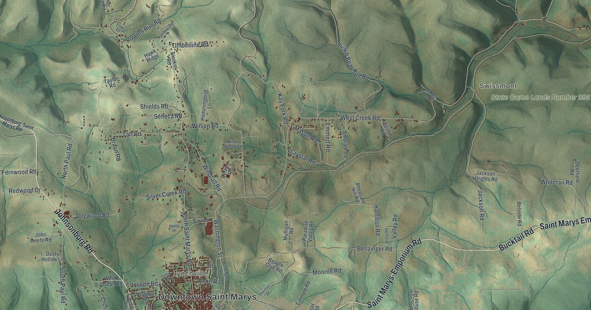
This beautifully detailed map of St. Marys, Pennsylvania was created in 2026 using aerial imagery combined with modern topographical, census, street and landmark data. It’s a one-of-a-kind view of St. Marys that combines accurate data with a vintage aesthetic. The map shows every building in its true location, many of the roads carry their names, and the shaded topographic relief shows the shape of the land.
Explore an aerial view of St. Marys, Pennsylvania
On the map you’ll find Downtown Saint Marys, Rathbun, Grandview, Swissmont, Lynchville, State Game Lands Number 25, State Game Lands Number 293, and Kaulmont, along with South Saint Marys Street, Brusselles Street, Front Street, Maurus Street, and more. If you look closely you can even find your house accurately drawn in its correct location. Zoom in on the preview to look for yours.
Did you know this piece of St. Marys, Pennsylvania history?
St. Marys was founded on December 8, 1842, by settlers who were mostly Bavarian Roman Catholics. They named it Marienstadt, which means roughly City of Mary. As English took over, the name became St. Marys, and it became a borough in 1848. The town is home to the first Benedictine convent in the United States.
Take a closer look at the St. Marys map
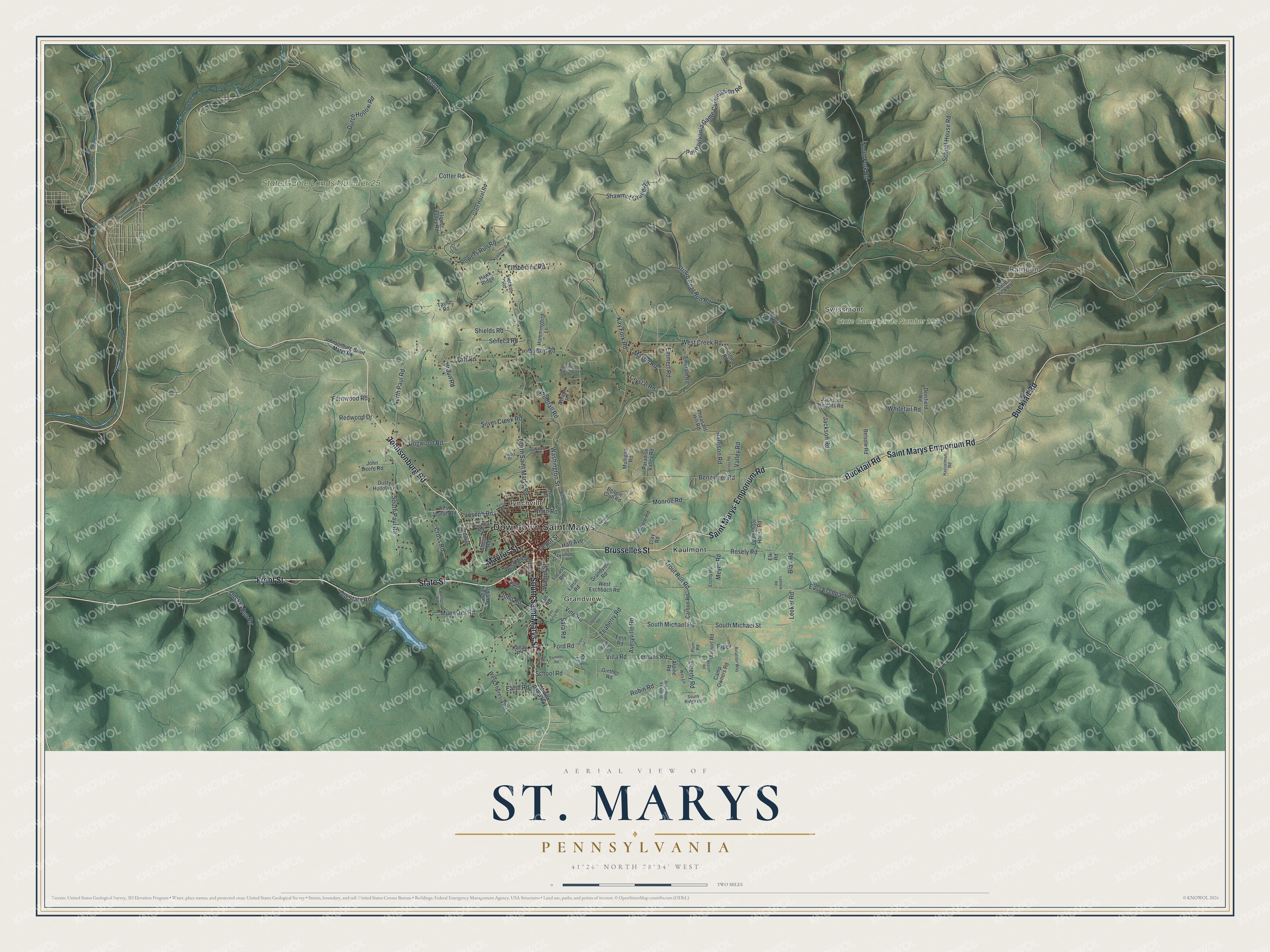
Street and place names on the St. Marys, Pennsylvania map
These names are printed on the map of St. Marys, Pennsylvania.
Places: Downtown Saint Marys, Rathbun, Grandview, Swissmont, Lynchville, State Game Lands Number 25, State Game Lands Number 293 and Kaulmont.
Streets and roads: South Saint Marys Street, Brusselles Street, Front Street, Maurus Street, Bucktail Road, Saint Marys-Emporium Road, Johnsonburg Road, Saint Marys Emporium Road, State Street, Robin Road, Hall Avenue, Vine Road.
More street names, A to Z
Airport Road, Alpine Road, Anthony Road, Ash Street, Averyville Road, Aviation Way, Bay Berry Road, Beacon Road, Beagle Club Road, Belsole Road, Benzinger Road, Bernie Road, Billie Road, Blair Road, Braun Road, Camp Owners Road, Carbon Road, Cardinal Road, Clay Road, Cotter Road, Cross Road, Crystal Road, Decker Run Road, Deerfield Road, Delaum Road, Depot Street, Dogwood Road, Dusty Hollow Lane, Dutch Hollow Road, Earth Road, East Eschbach Road, Edgewood Road, Elk Road, Elm Road, Emerald Road, Emmert Road, Eschly Road, Fern Road, Fernwood Road, Fillmore Road, Flower Valley Road, Ford Road, Ginther Road, Glen Hazel Road, Goetz Drive, Grandview Road, Hanes Drive, Harrison Road, Hasselman Road, Hawk Ridge, High Avenue, Hummingbird Lane, Jackson Heights Road, Jackson Road, Jersey Road, John Deere Road, John Road, Johnsonburg-Saint Marys Road, Joseph Road, Kallas Road, Kay Fork Road, Krellner Road, Krug Lane, Larch Road, Lecker Road, Lednew Road, Lemans Road, Liberty Road, Lion Lane, Little Bear Run Road, Locust Road, Lynch Road, Mason Road, Meyer Road, Million Dollar Highway, Monroe Road, Muenster Road, Mulligan Road, North Fork Road, North Paul Road, North Saint Marys Road, Old School House Road, Old State Road, Paradise Valley Road, Penn Road, Pennsylvania Game Commission Road, Pheasant Hill Road, Piper, Plum Road, Plymouth Road, Powers Run Road, Rambler Road, Redwood Drive, Robin Road Extended, Rock Street, Rosely Road, Sand Lick Road, Sara Road, School House Road, School Road, Seneca Road, Shawmut Grade Road, Sherry Road, Shields Road, Siecker Road, Silver Creek Road, South Michael Road, South Michael Street, South Paul Road, South Ridge Road, Spring Street, Sr1001, Straub Bear Run Road, Sugar Hill Road, Taft Road, Taylor Road, Teaberry Road, Terrace Road, Theresia Street, Timberline Road, Trout Run Road, Valley Road, Villa Road, Virginia Road, Walnut Street, Washington Road, Washington Street, Wes Lane, West Creek Road, West Eschbach Road, West Joseph Road, West Mill Street, West Theresia Road, Whitetail Road, Wilson Road, Wilson Switchback, Windfall Road, Woodland Road.
See the St. Marys, Pennsylvania map on a wall
The St. Marys map as an 18 x 24 inch print in a black frame.

This beautifully detailed map of St. Marys makes an attractive addition to your office, library, or den, and it can even be used to teach children the geography and history of the area. It also makes a great gift for anyone with St. Marys roots. When you’re done exploring, click here to get your copy of the St. Marys map.