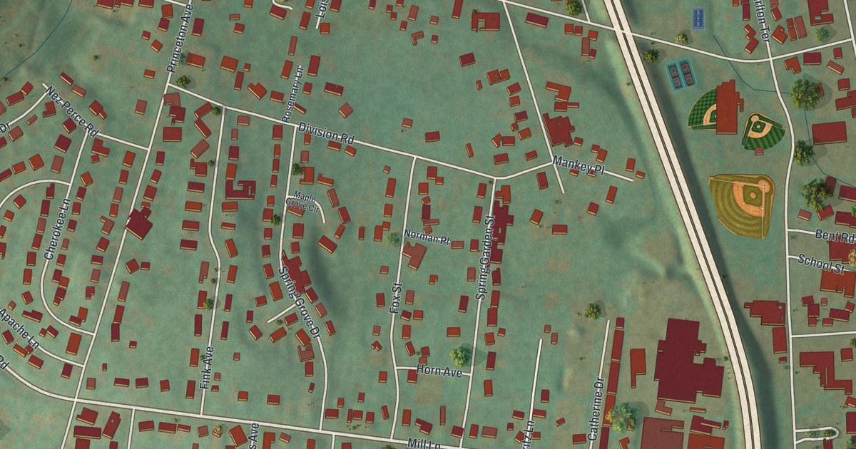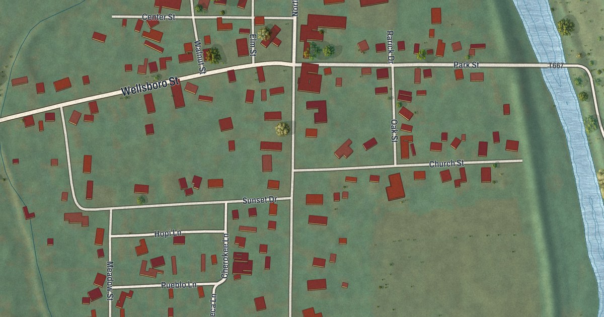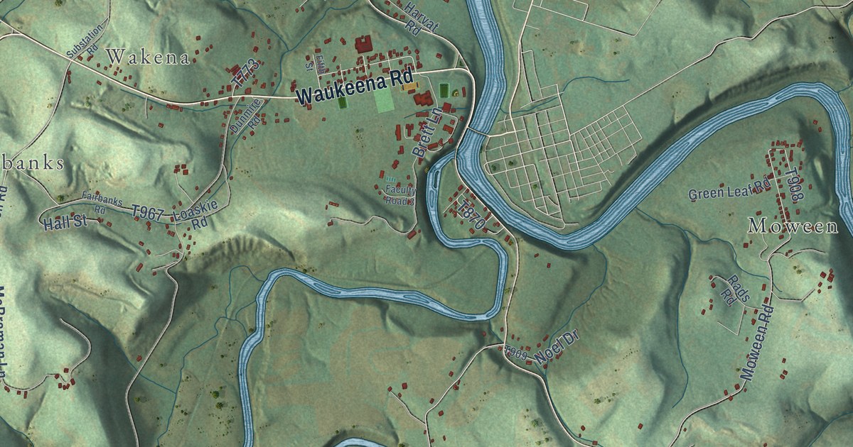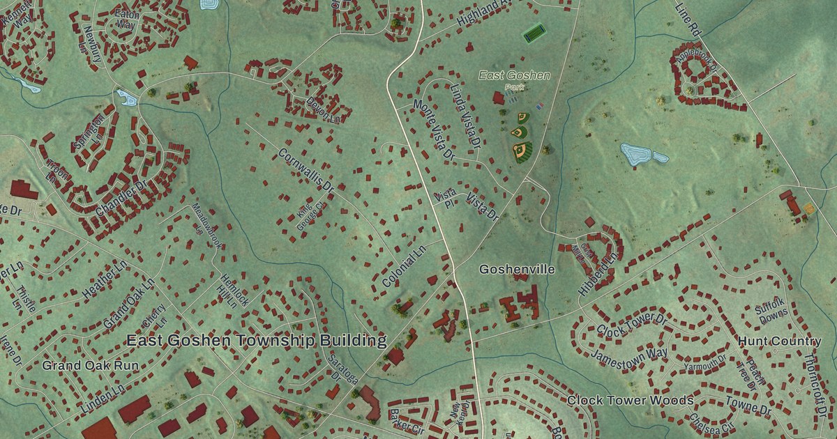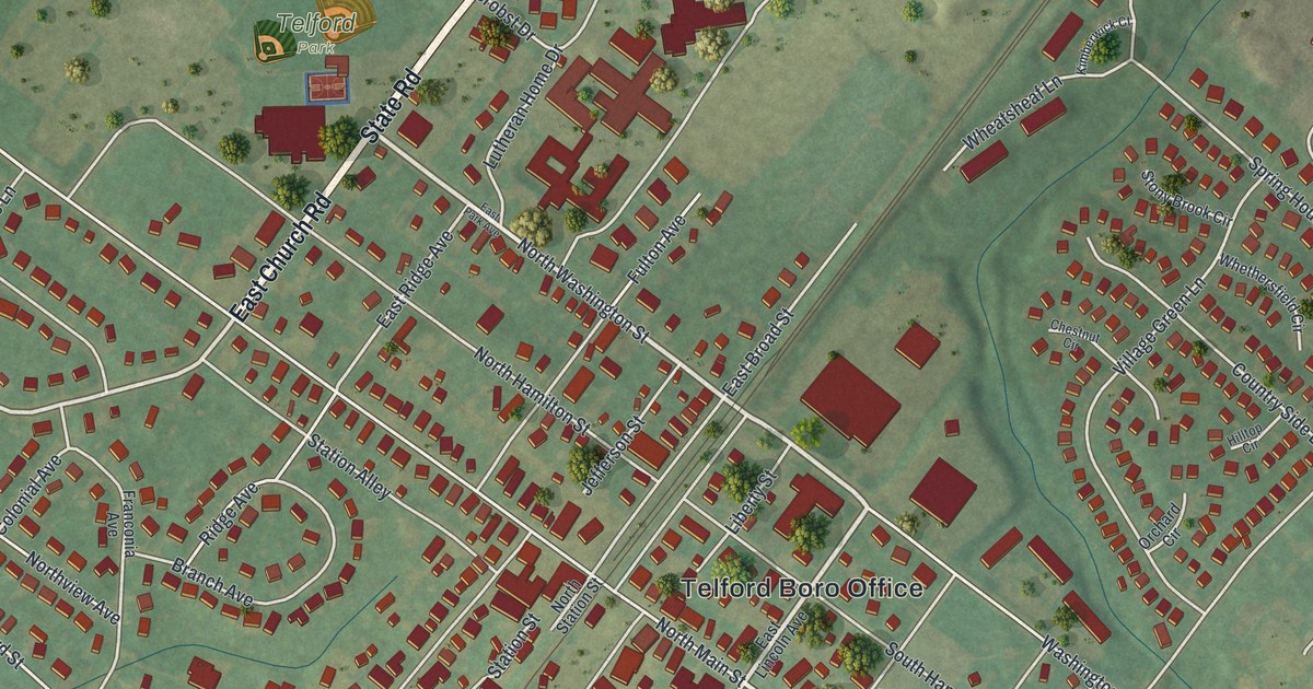
This beautifully detailed map of Telford, Pennsylvania was created in 2026 using aerial imagery combined with modern topographical, census, street and landmark data. It’s a one-of-a-kind view of Telford that combines accurate data with a vintage aesthetic. The map shows every building in its true location, many of the roads carry their names, and the shaded topographic relief shows the shape of the land.
Explore an aerial view of Telford, Pennsylvania
On the map you’ll find Telford Boro Office, Telford Park, Pear Tree Village, Telford Commons, and Telford Hills, along with East Church Avenue, Church Road, East Church Road, State Road, North Washington Street, South Main Street, West Lincoln Avenue, and more. If you look closely you can even find your house accurately drawn in its correct location. Zoom in on the preview to look for yours.
Did you know this piece of Telford, Pennsylvania history?
From the History of Bucks County: "Telford has the complement of mechanics, several stores, lumber, coal, and lime-yards, three public halls and a post-office. The village is regularly laid out, the streets broad and straight, and the surrounding country is populous and charming."
Take a closer look at the Telford map
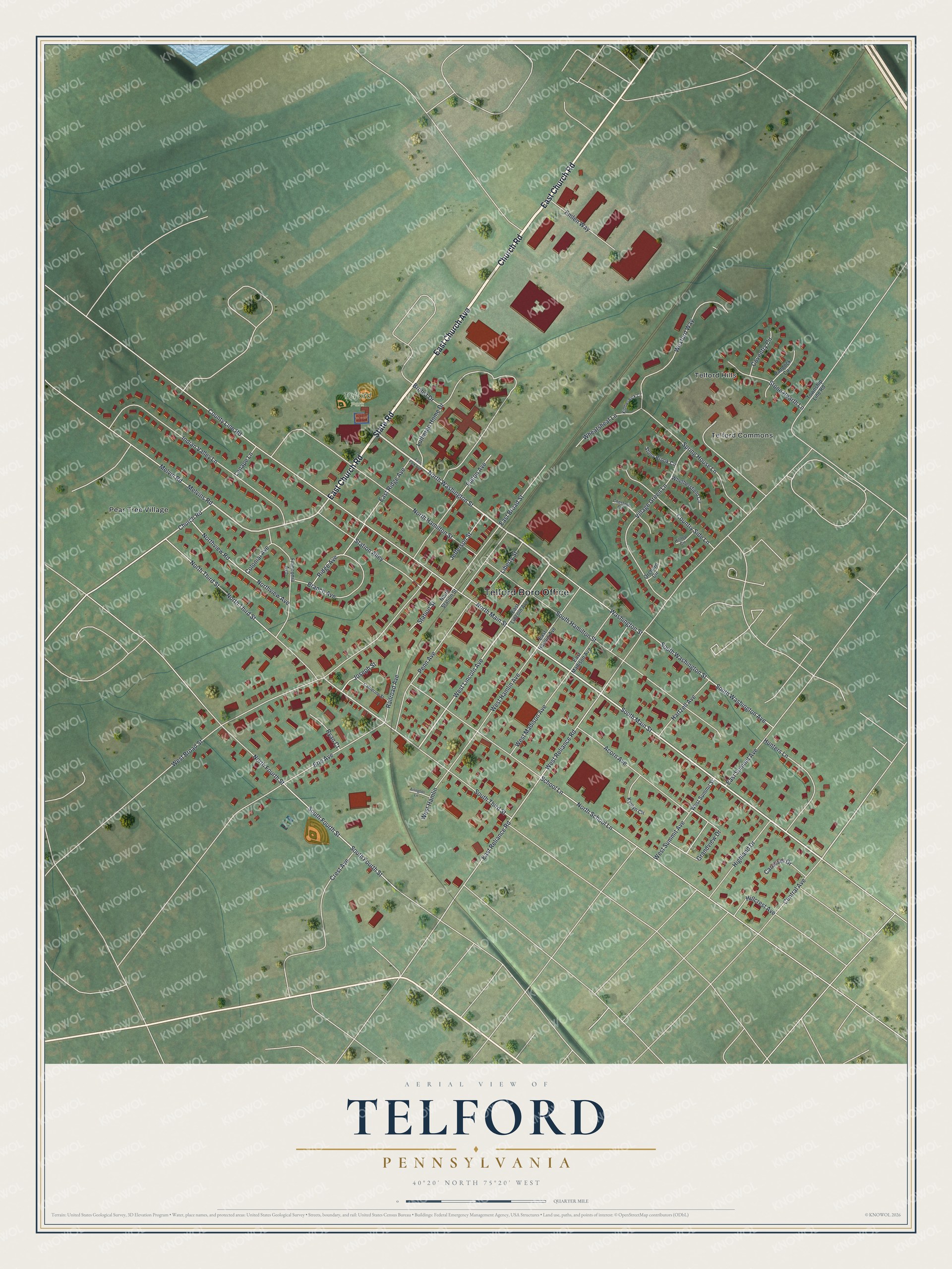
Street and place names on the Telford, Pennsylvania map
These names are printed on the map of Telford, Pennsylvania.
Places: Telford Boro Office, Telford Park, Pear Tree Village, Telford Commons and Telford Hills.
Streets and roads: East Church Avenue, Church Road, East Church Road, State Road, North Washington Street, South Main Street, West Lincoln Avenue, North Third Street, East Reliance Road, South Fourth Street, East Ridge Avenue, North School Lane.
More street names, A to Z
Acorn Avenue, Arlington Lane, Branch Avenue, Brobst Drive, Carousel Drive, Catherine Street, Central Avenue, Chestnut Circle, Colonial Avenue, Country Side Lane, County Line Road, Coventry Circle, Crest Avenue, East Broad Street, East Hamlin Avenue, East Lincoln Avenue, East Madison Avenue, East Park Avenue, East Summit Avenue, Emlen Way, Erie Avenue, Franconia Avenue, Fulton Avenue, Grandview Drive, Hartzell Avenue, Highland Drive, Hillcrest Avenue, Hilltop Circle, Hunters Lane, Indian Valley Lane, Jefferson Street, Joseph Street, Kimberwick Court, Kynlyn Circle, Lenape Lane, Liberty Street, Lutheran Home Drive, Melvin Road, Melvins Road, North Fourth Street, North Hamilton Street, North Main Street, North Station Street, Northview Avenue, Northview Road, Orchard Circle, Paddock Circle, Penn Avenue, Railroad Avenue, Ridge Avenue, Ryan Court, School Lane, South Hamilton Street, South Third Street, South Washington Avenue, South Washington Street, Spring House Lane, Station Alley, Station Street, Stone Hearth Lane, Stony Brook Circle, Township Line Road, Village Green Lane, Washington Street, West Broad Street, West Hamlin, West Hamlin Avenue, West Madison Avenue, West Reliance Road, West Summit Avenue, West Summit Street, Wexford Way, Wheatsheaf Lane, Whethersfield Circle.
See the Telford, Pennsylvania map on a wall
The Telford map as an 18 x 24 inch print in a black frame.

This beautifully detailed map of Telford makes an attractive addition to your office, library, or den, and it can even be used to teach children the geography and history of the area. It also makes a great gift for anyone with Telford roots. When you’re done exploring, click here to get your copy of the Telford map.