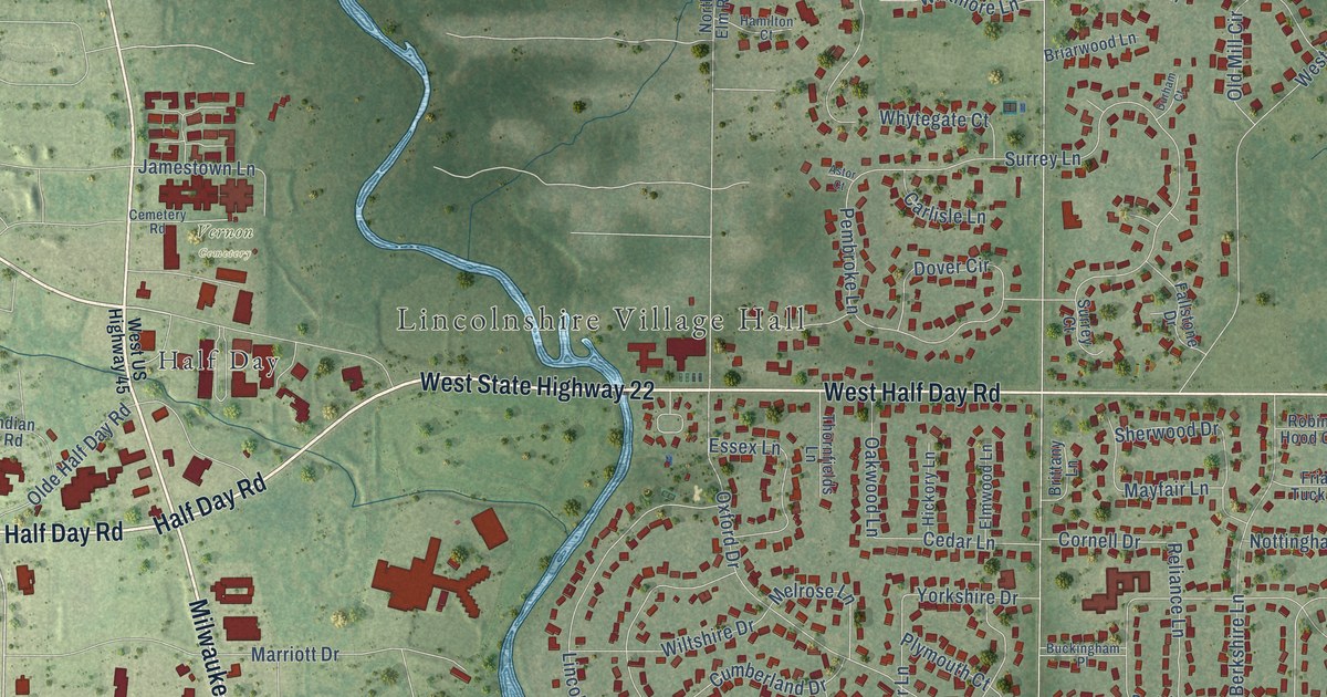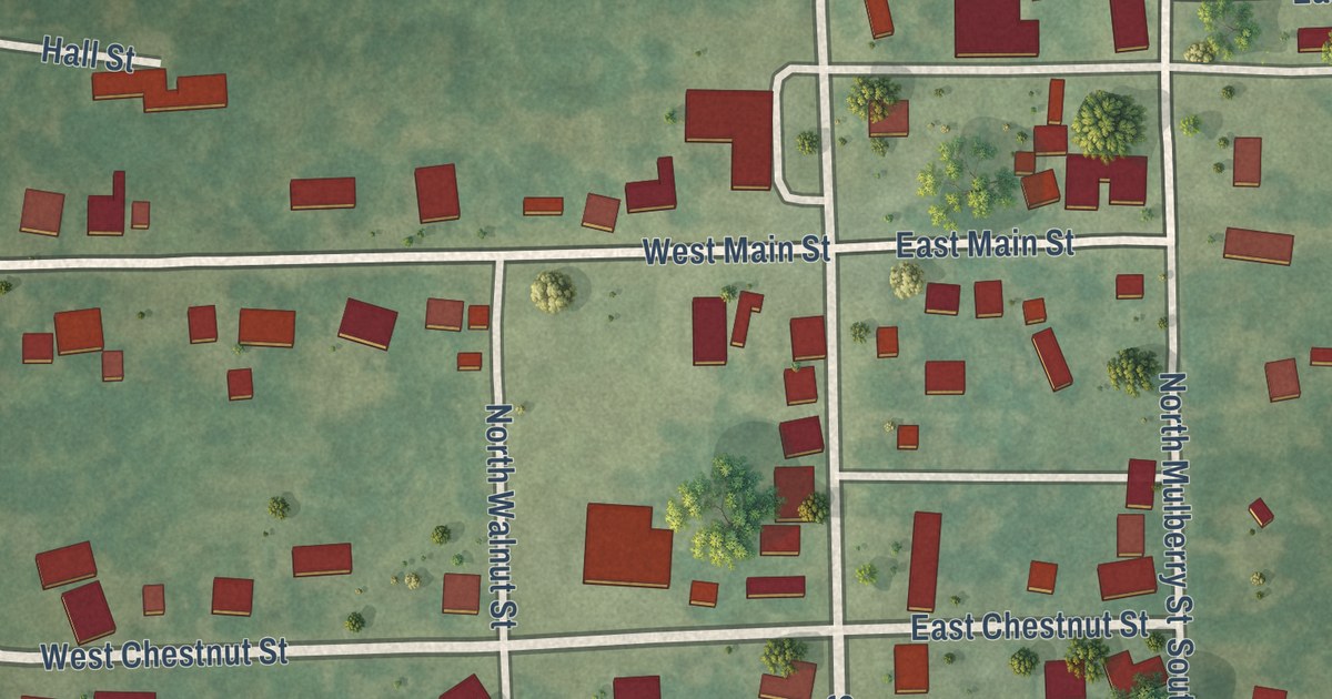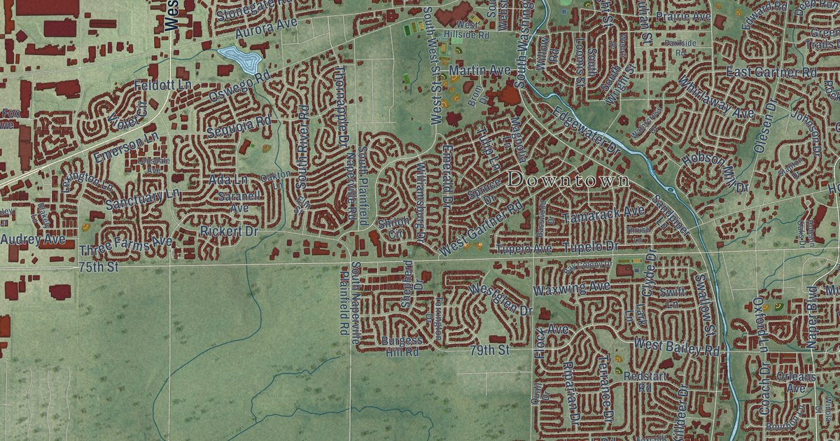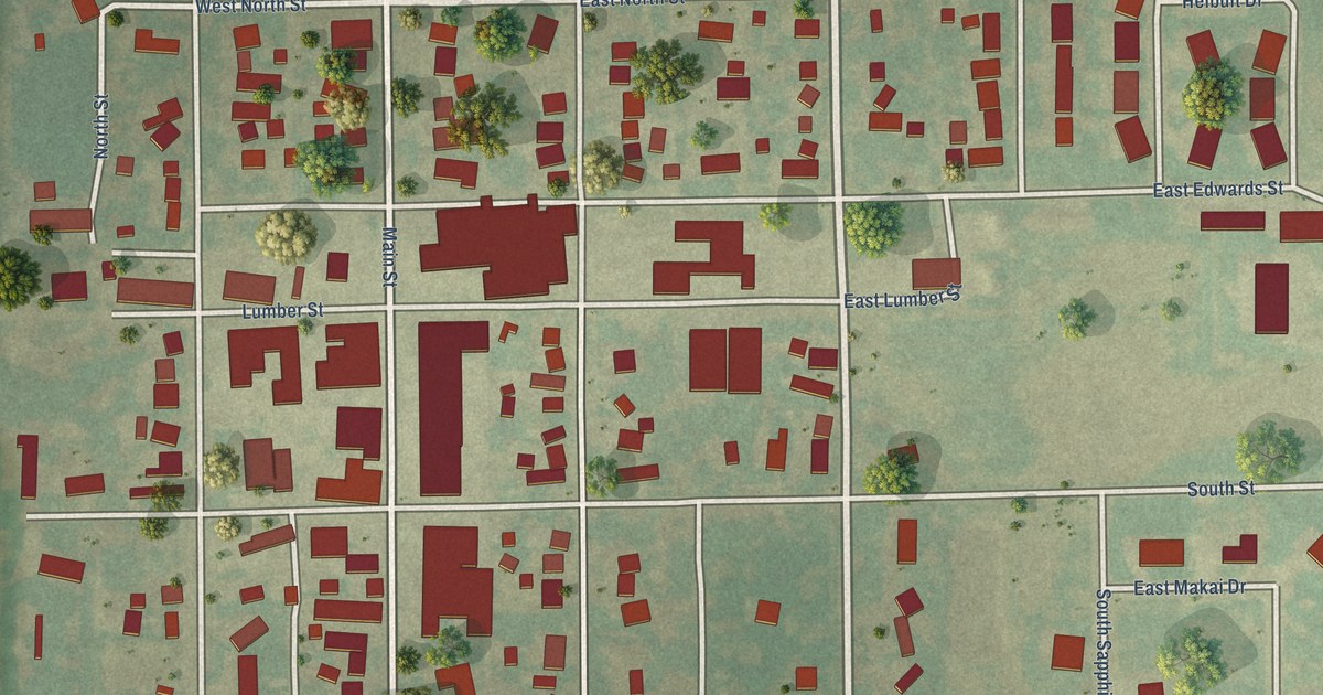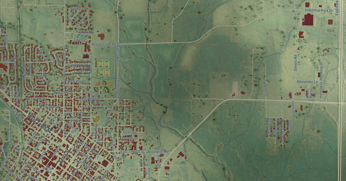
This beautifully detailed map of Metropolis, Illinois was created in 2026 using aerial imagery combined with modern topographical, census, street and landmark data. It’s a one-of-a-kind view of Metropolis that combines accurate data with a vintage aesthetic. The map shows every building in its true location, many of the roads carry their names, and the shaded topographic relief shows the shape of the land.
Explore an aerial view of Metropolis, Illinois
On the map you’ll find Massac City and Fort Massac State Park, along with East Fifth Street, Ferry Street, West Tenth Street, West Fifth Street, East Seventh Street, Old Marion Road, County Highway 2, Vienna Street, West 19th Street, East 19th Street, and more. If you look closely you can even find your house accurately drawn in its correct location. Zoom in on the preview to look for yours.
Did you know this piece of Metropolis, Illinois history?
Founder William A. McBane chose the ambitious name Metropolis because he believed the Ohio River site would become a modern city at a natural railroad bridge crossing. That’s from the 1900 History of Massac County, Illinois.
Take a closer look at the Metropolis map
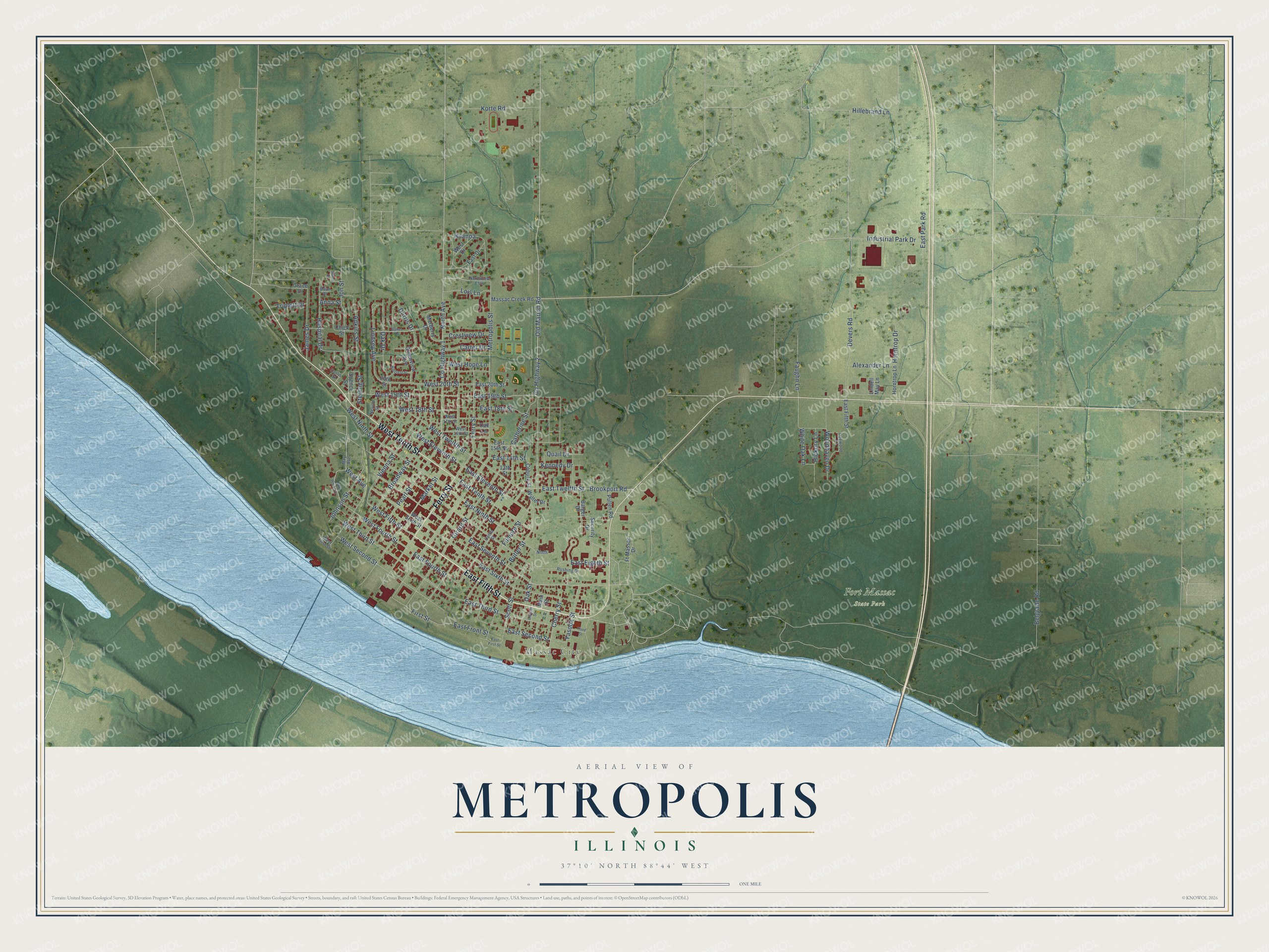
Street and place names on the Metropolis, Illinois map
These names are printed on the map of Metropolis, Illinois.
Places: Massac City and Fort Massac State Park.
Streets and roads: East Fifth Street, Ferry Street, West Tenth Street, West Fifth Street, East Seventh Street, Old Marion Road, County Highway 2, Vienna Street, West 19th Street, East 19th Street, West Fourth Street, Devers Road.
More street names, A to Z
13th Street, 20th Street, Adkins Street, Alexander Lane, Anna Street, Baker Drive, Barger Drive, Belgrade Road, Brian Drive, Broadway Street, Brookport Road, Butler Street, Carter Drive, Catherine Street, Cherry Street, Chick Street, Coburn Street, Corlis Street, County Highway 1, Crestview Drive, Dogwood Lane, Dorris Drive, East 14th Street, East 15th Street, East 18th Street, East 20th Street, East Drive, East Eighth Street, East Eleventh Street, East First Street, East Fourth Street, East Front Street, East Ninth Street, East Park Road, East Second Street, East Sixth Street, East Tenth Street, East Third Street, East Twelfth Street, Faughn Lane, Filmore Street, First Street, Ft Massac Drive, Girard Street, Grace Drive, Greenview Avenue, Hickory Lane, Hilanoa, Hillcrest Street, Hillebrand Lane, Horntrop Drive, Horntrop Lane, Hospital Drive, Industrial Park Drive, James Drive, Joann Drive, Johnson Street, Jon Street, Kennedy Drive, Korte Road, Lincoln Street, Lindell May Lane, Lindsey Avenue, Lois Lane, Main Street, Marberry Drive, Market Street, Massac Creek Road, May Avenue, Metropolis Street, Neville Street, Ninth, North Avenue, Northview Ests, Oak Drive, Oak Lane, Oak Street, Ophia Street, Pearl Street, Pub Works Drive, Pullen Road, Quail Drive, Rushing Drive, Scott Street, Security Drive, Spence Street, Sterling Street, Third Street, Triplett Drive, Walter Drive, West 16th Street, West 17th Street, West 18th Street, West 20th Street, West Avenue, West Drive, West Eleventh Street, West First Street, West Hope Lane, West Ninth Street, West Second Street, West Sixth Street, West Third Street, West Twelfth Street, White Oak Lane, Woodhaven Drive, Yasoda Street.
See the Metropolis, Illinois map on a wall
The Metropolis map as an 18 x 24 inch print in a black frame.

This beautifully detailed map of Metropolis makes an attractive addition to your office, library, or den, and it can even be used to teach children the geography and history of the area. It also makes a great gift for someone who left Metropolis and still calls it home. When you’re done exploring, click here to get your copy of the Metropolis map.