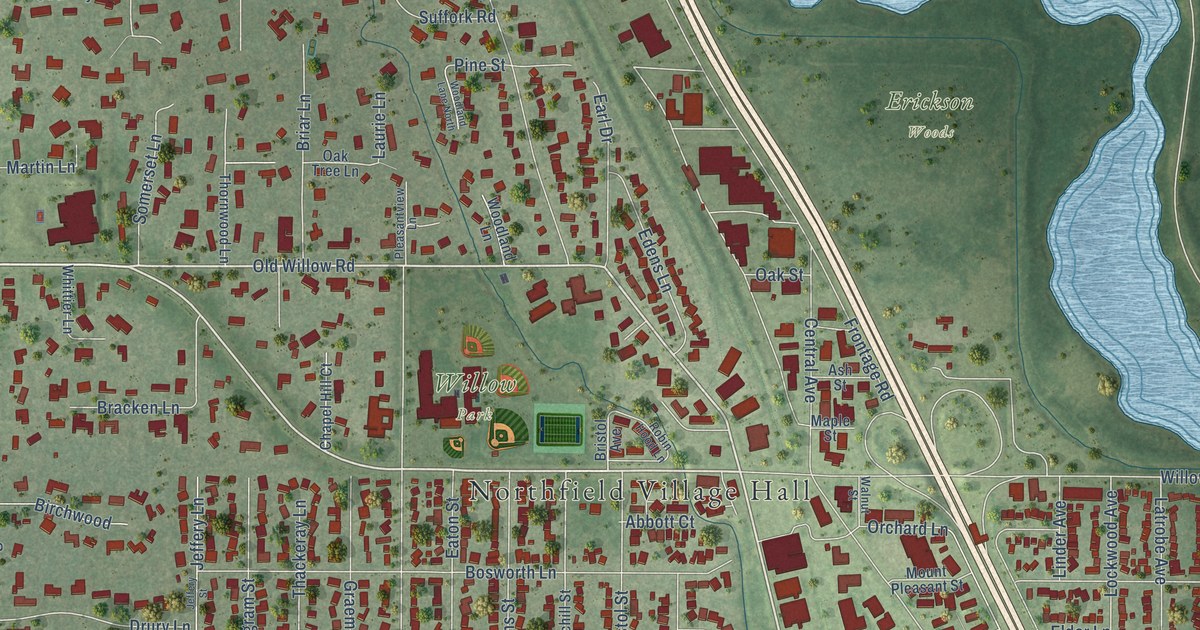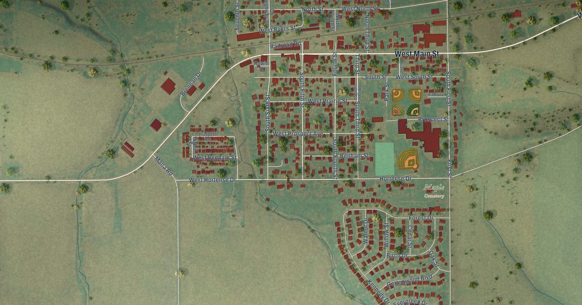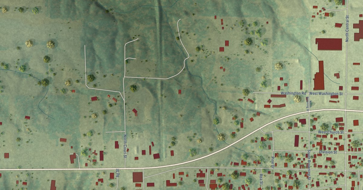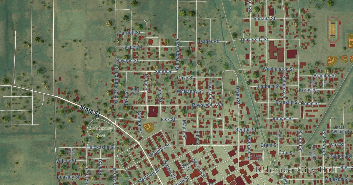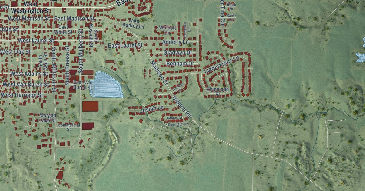
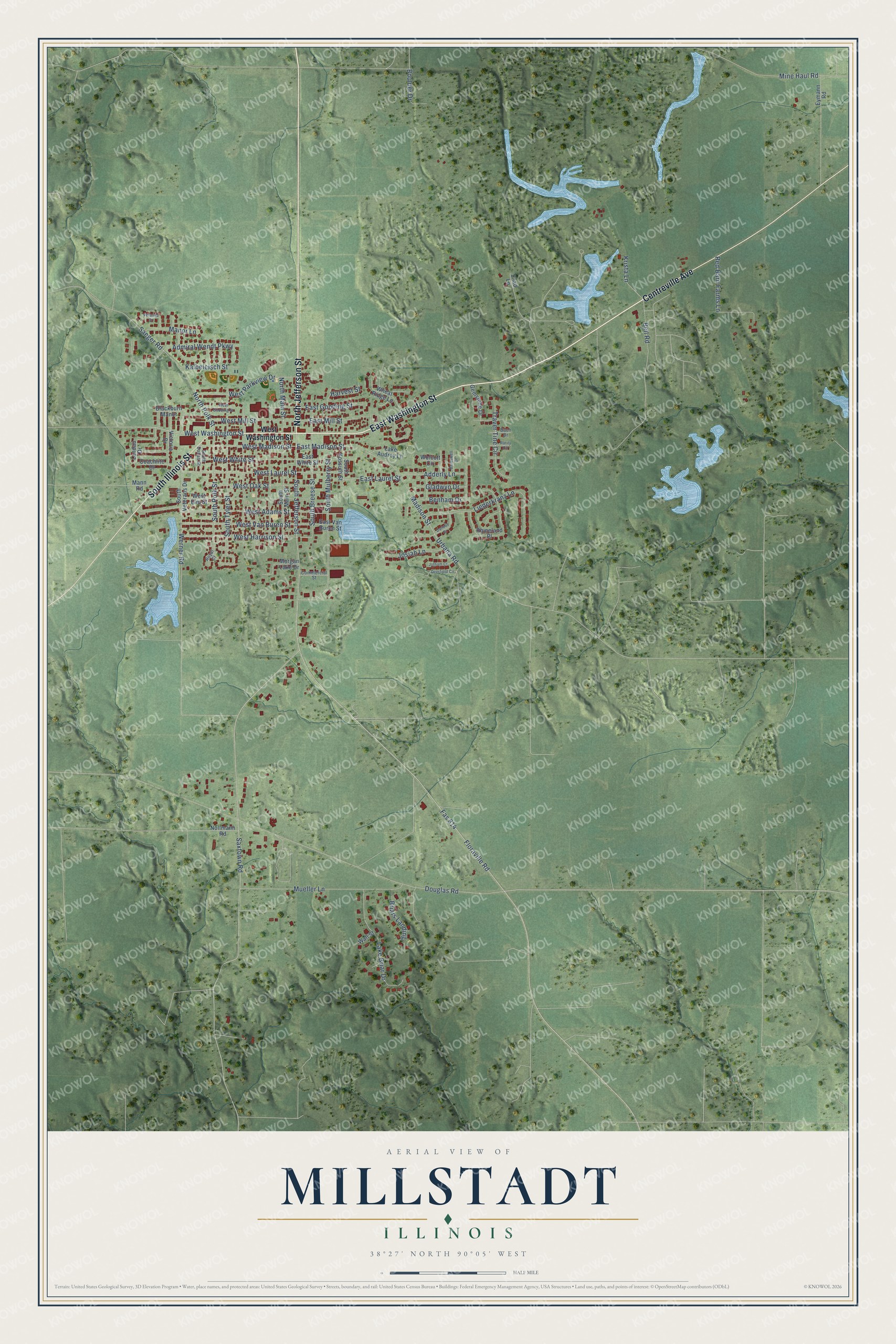
This beautifully detailed map of Millstadt, Illinois was created in 2026 using aerial imagery combined with modern topographical, census, street and landmark data. It’s a one-of-a-kind view of Millstadt that combines accurate data with a vintage aesthetic. The map shows every building in its true location, many of the roads carry their names, and the shaded topographic relief shows the shape of the land.
Explore an aerial view of Millstadt, Illinois
On the map you’ll find East Washington Street, South Illinois Street, Centreville Avenue, North Jefferson Street, West Washington Street, South Jefferson Street, East Laurel Street, South Breese Street, Adderly Lane, East Madison Street, South Tyler Street, East Mill Street, and more. If you look closely you can even find your house accurately drawn in its correct location. Zoom in on the preview to look for yours.
Did you know this piece of Millstadt, Illinois history?
From the St. Clair County History: "Prominent among the enterprises of Millstadt, in fact the most important in the town, are two extensive merchant mills. That now owned by Becker and Sterns was first built in 1857-8, by Franz Baur."
Take a closer look at the Millstadt map
Street names on the Millstadt, Illinois map
These names are printed on the map of Millstadt, Illinois.
Streets and roads: East Washington Street, South Illinois Street, Centreville Avenue, North Jefferson Street, West Washington Street, South Jefferson Street, East Laurel Street, South Breese Street, Adderly Lane, East Madison Street, South Tyler Street, East Mill Street.
More street names, A to Z
Admiral Wendt Parkway, Bach Drive, Bardswell Drive, Beil Road, Benham Drive, Blackburn Manor, Boulder Drive, Briars Landing, Coachlite Drive, Commercial Street, Danube Drive, Deerfield Circle, Douglas Road, East Gooding Street, East Van Buren Street, East White Street, Eymann Road, Fas 814, Floraville Road, Gemstone Drive, Gladwyn Drive, Harvest Street, Josiah Lane, Jotham Court, Kalbeleisch Street, Krista Lane, Lake Audrey Lane, Lake Briar Drive, Landau Drive, Liederkranz Lane, Madison Street, Mann Road, Manor Lane, Mine Haul Road, Morgan Lake Drive, Mueller Lane, Nollmann Road, North Main Street, North Polk Street, Rarity Circle, Red Barn Farms Lane, Rhineland Place, Royal Court, Saeger Road, Saxtown Road, Shad Lane, South Dallas Street, South Kossuth Street, South Main Street, South Mulberry Street, South Polk Street, South Veterans Drive, Traver Tine Circle, Urbana Road, Veranda Court, Victoria Drive, Wall Street, Werner Road, West Adams Street, West Elm Street, West Gooding Street, West Harrison Street, West Laurel Street, West Madison Street, West Mill Street, West Oak Street, West Parkview Drive, West Van Buren Street, West White Street, Wheat Ridge Lane, Wolcott Circle.
See the Millstadt, Illinois map on a wall
The Millstadt map as an 18 x 24 inch print in a black frame.

This beautifully detailed map of Millstadt makes an attractive addition to your office, library, or den, and it can even be used to teach children the geography and history of the area. It also makes a great gift for anyone who grew up in Millstadt or moved away. When you’re done exploring, click here to get your copy of the Millstadt map.