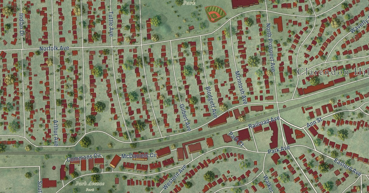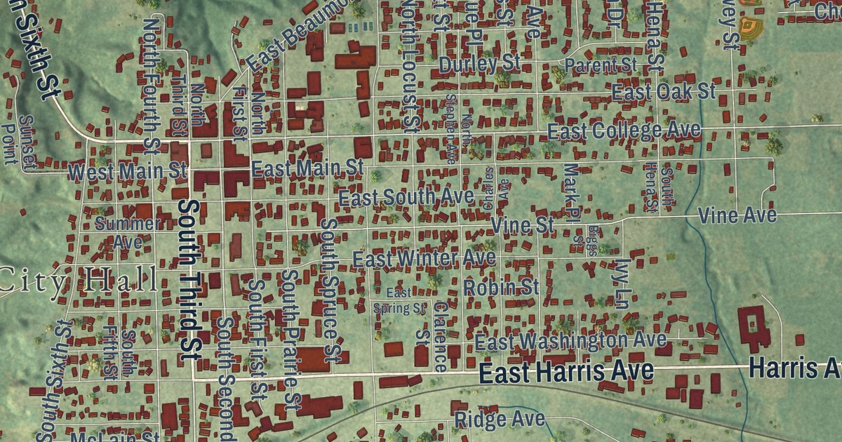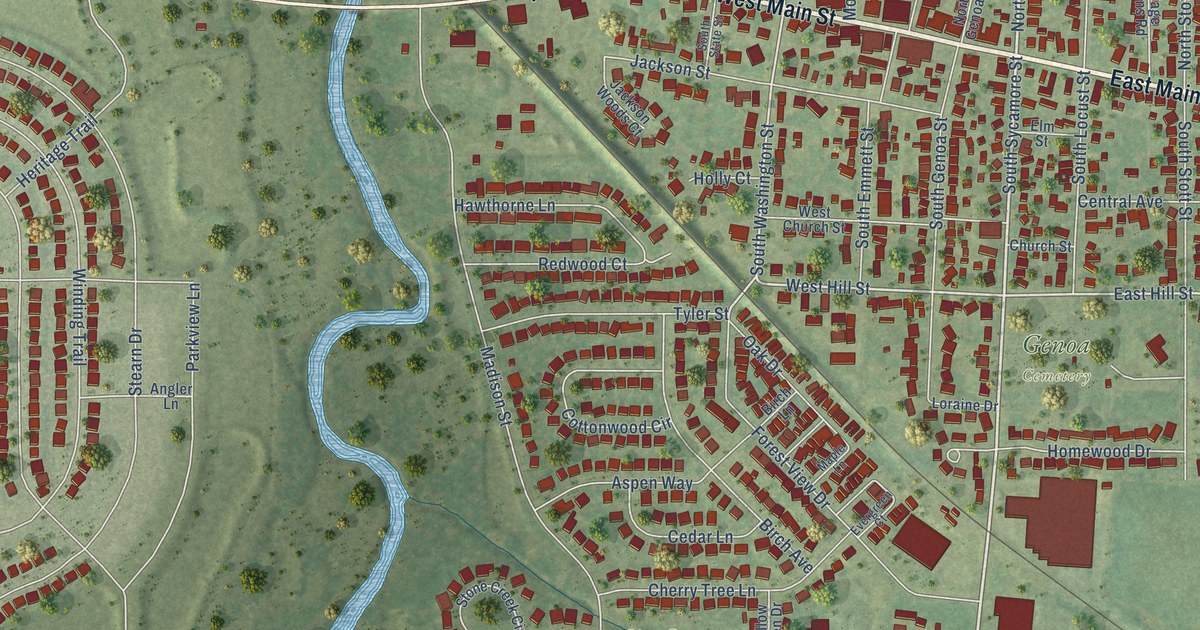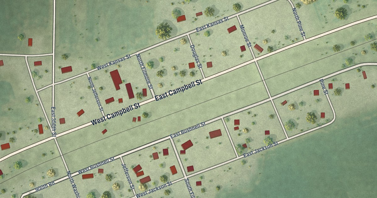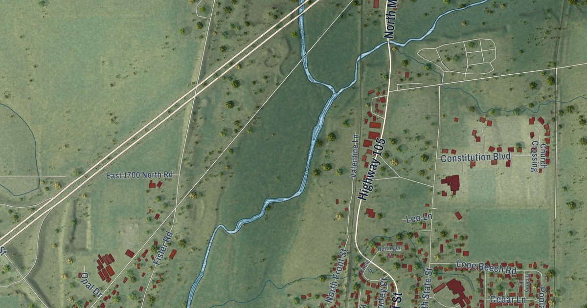
This beautifully detailed map of Monticello, Illinois was created in 2026 using aerial imagery combined with modern topographical, census, street and landmark data. It’s a one-of-a-kind view of Monticello that combines accurate data with a vintage aesthetic. The map shows every building in its true location, many of the roads carry their names, and the shaded topographic relief shows the shape of the land.
Explore an aerial view of Monticello, Illinois
On the map you’ll find Monticello City Hall, along with North Market Street, Highway 105, South Market Street, Railroad Street, RR Street, West Center Street, Kratz Road, Allerton Road, Fisler Road, East Washington Street, West Bridge Street, and more. If you look closely you can even find your house accurately drawn in its correct location. Zoom in on the preview to look for yours.
Did you know this piece of Monticello, Illinois history?
From the Past and Present of Piatt County: "Monticello was chosen as the county seat and the first county election was held that April, 1841. It was not under township organization at first, and John Hughes, W. Bailey and E. Peck were the first county commissioners."
Take a closer look at the Monticello map
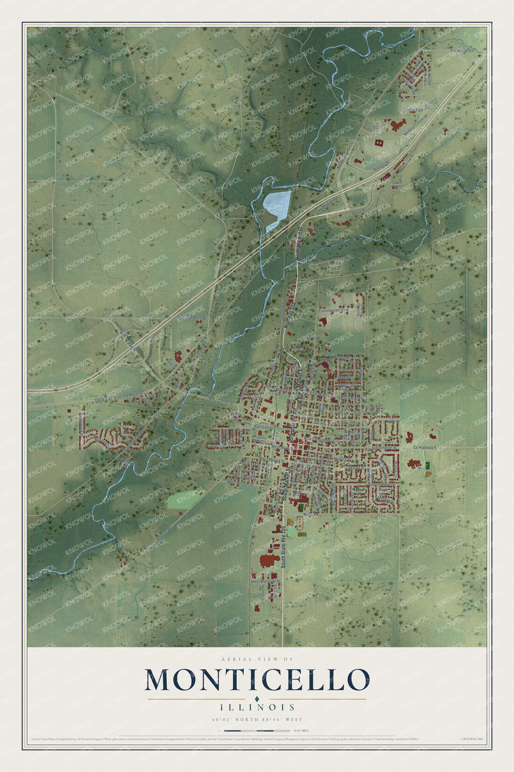
Street and place names on the Monticello, Illinois map
These names are printed on the map of Monticello, Illinois.
Places: Monticello City Hall.
Streets and roads: North Market Street, South State Route 105, Highway 105, South Market Street, Railroad Street, RR Street, West Center Street, Old Route 47, Kratz Road, Allerton Road, Fisler Road, East Washington Street.
More street names, A to Z
Adams Court, Air Park Lane, Appletree Drive, Applewood Drive, Bear Lane, Bell Avenue, Bridle Lane, Castle Rock Drive, Cedar Lane, Chaucer Boulevard, Church Crossing, Circle Drive, Coachman Drive, Constitution Boulevard, County Farm Road, County Highway 4, Crest View Drive, Dickens Court, East 1700 North Road, East Center Street, East Chestnut Street, East Grant Street, East Lincoln Street, East Livingston Street, East Old Route 47, East Wilson Street, Edwards Street, Emerson Street, Fir Court, Foothill Road, Forest Drive, Giant City Road, Hettinger Court, Hickory Lane, High Street, Hillside Court, Hillside Drive, Iron Horse Place, Jackson Street, Jonathon Drive, Kipling Drive, Kirby Circle, Leo Lane, Lincoln Drive, Lodge Trail, Lone Beech Road, Maple Lane, Medical Center Drive, Meyers Street, Morfey Court, North Charter Street, North Chase Street, North Colfax Street, North Elm Boulevard, North Front Street, North Greely Street, North Oak Street, North Park Street, North State Route 105, North State Street, North Street, North Union, North Walnut Street, Oakview Drive, Opal Drive, Orchard Lane, Park Drive, Park Place, Poplar Lane, Prairie Lane, Prairie Trail, Quail Hill Road, Raymond Road, Ridings Drive, Robert Webb Drive, Sage Drive, Salem Road, South Buchanan Drive, South Buchanan Street, South Charter Street, South Chaucer, South Emerson Street, South Hamilton Street, South Independence Street, South Irving Street, South Longview Road, South Park Street, South Piatt Street, South State Street, Spruce Lane, Stoddard Court, Surrey Court, Surrey Road, Trailblazer Lane, Troy Phillips Road, Turtle Point, Tyler Court, Valentine Lane, Valley Road, Van Buren Street, Walden Drive, Walden Pond Boulevard, Weldon Springs Road, West Blaine Street, West Bond Street, West Bridge Street, West Bristow Street, West Burnside Drive, West Main Street, West Marion Street, West Washington Street, West William Street, West Wilson Street, Westwood Drive.
See the Monticello, Illinois map on a wall
The Monticello map as an 18 x 24 inch print in a black frame.

This beautifully detailed map of Monticello makes an attractive addition to your office, library, or den, and it can even be used to teach children the geography and history of the area. It also makes a great gift for anyone with Monticello roots. When you’re done exploring, click here to get your copy of the Monticello map.