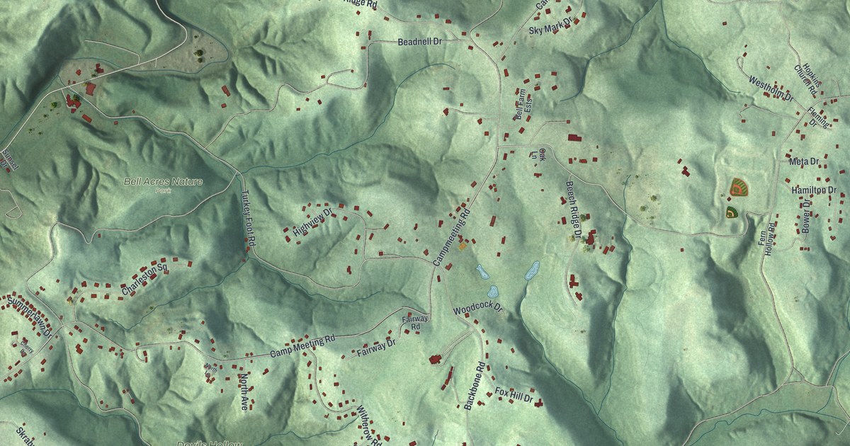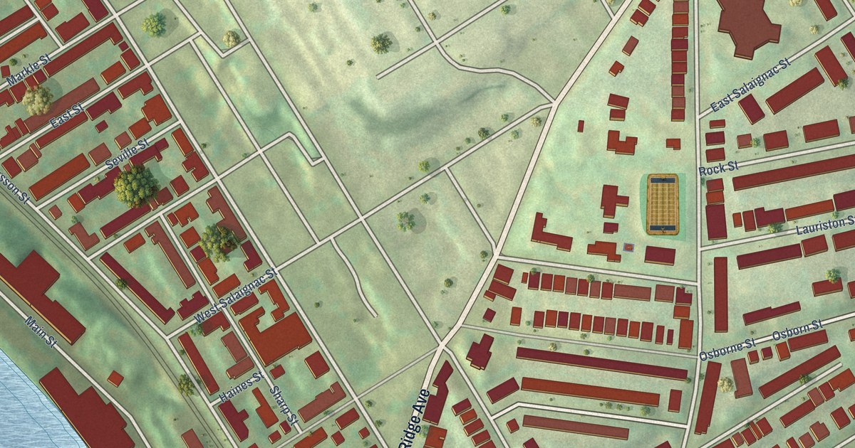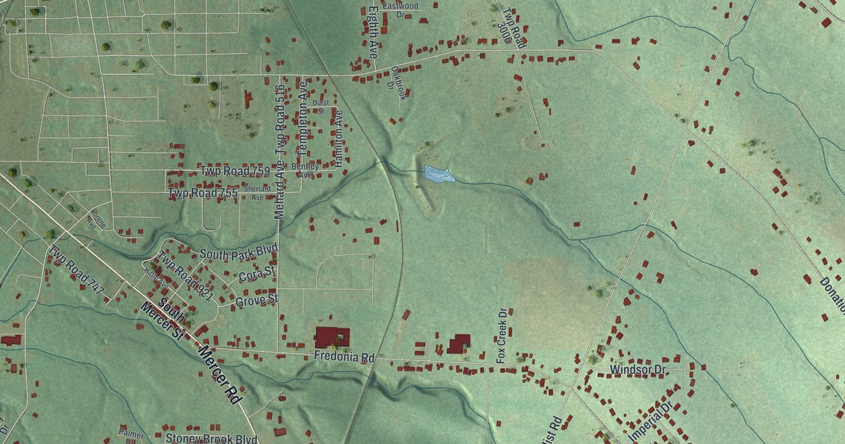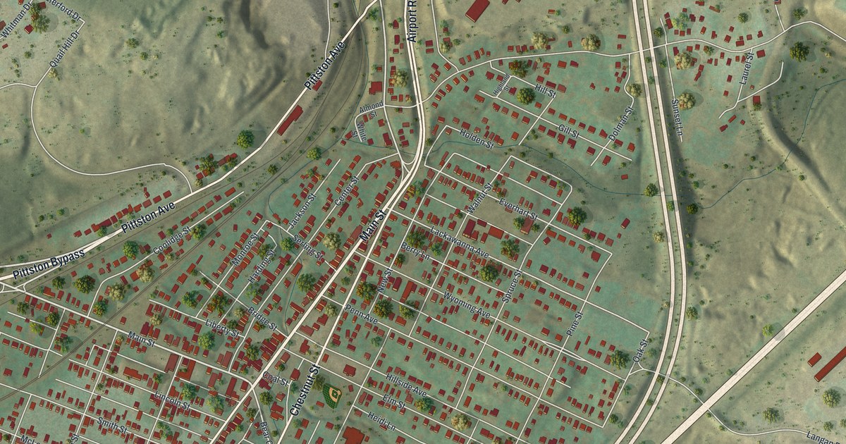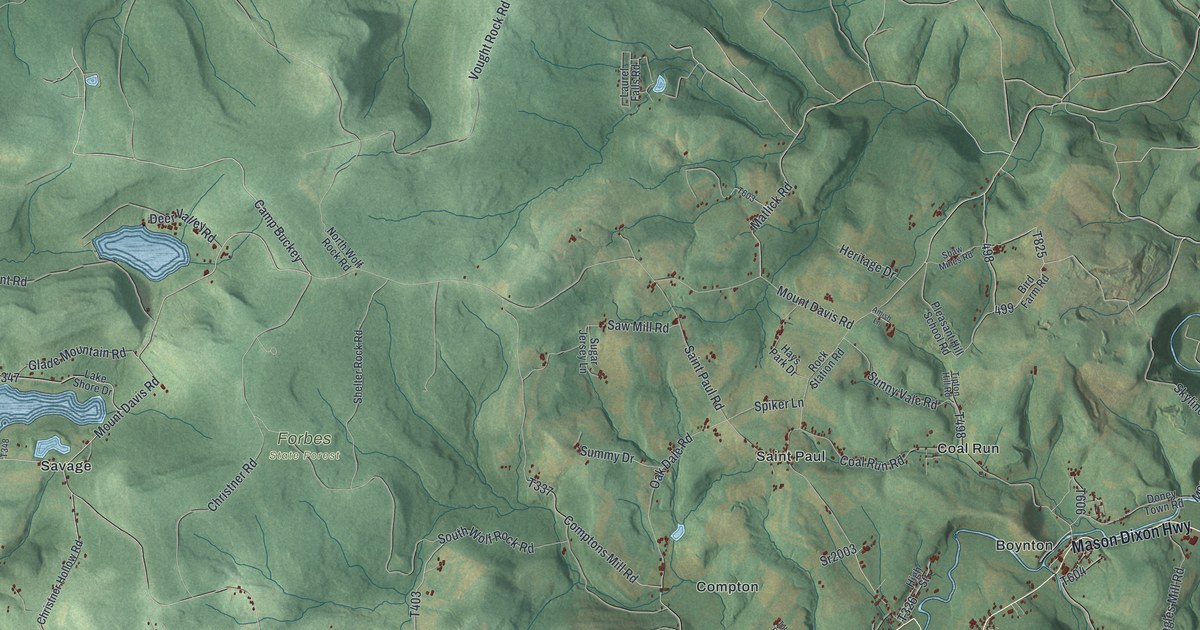
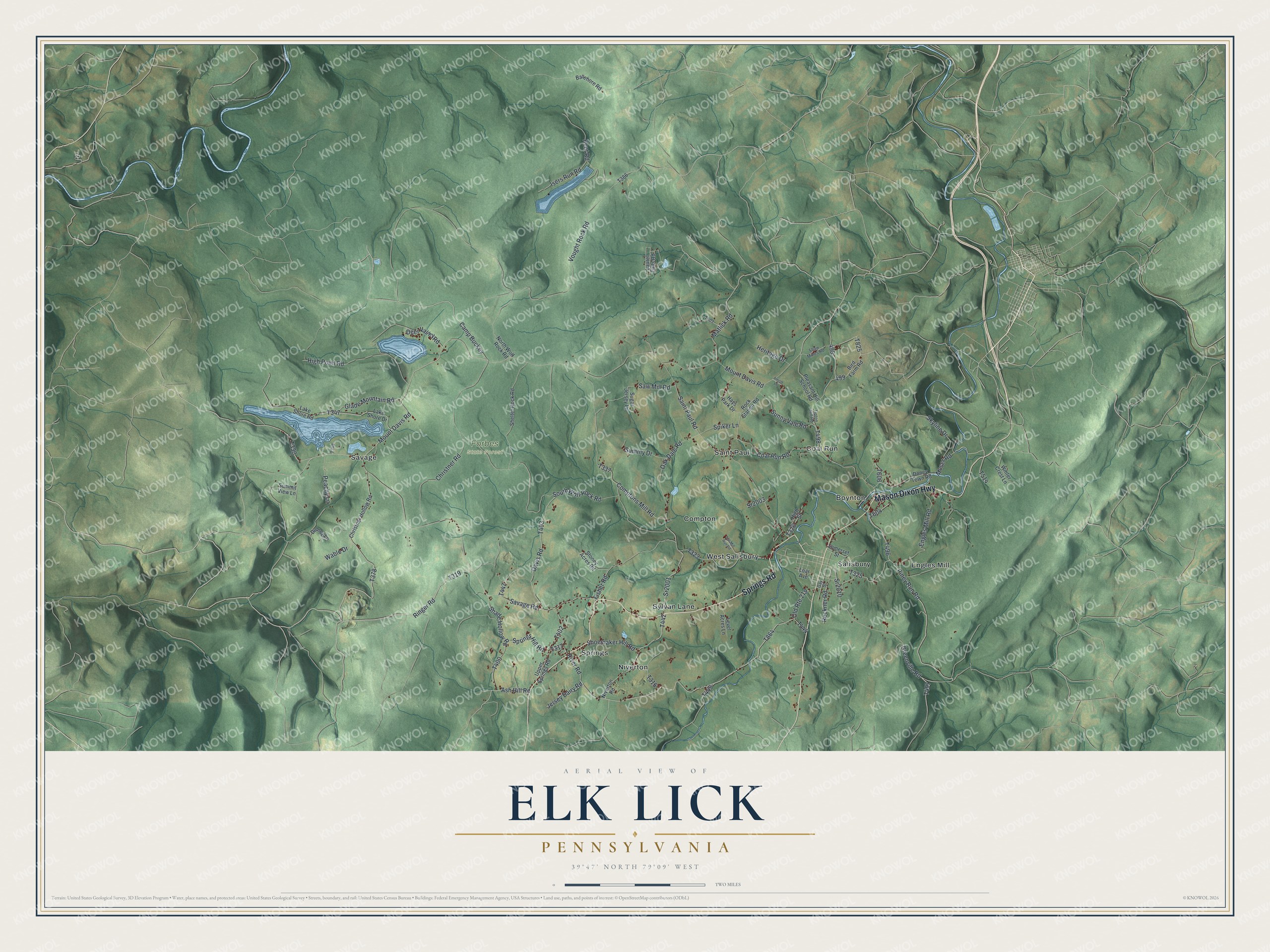
This beautifully detailed map of Elk Lick, Pennsylvania was created in 2026 using aerial imagery combined with modern topographical, census, street and landmark data. It’s a one-of-a-kind view of Elk Lick that combines accurate data with a vintage aesthetic. The map shows every building in its true location, many of the roads carry their names, and the shaded topographic relief shows the shape of the land.
Explore an aerial view of Elk Lick, Pennsylvania
On the map you’ll find Forbes State Forest, Boynton, Coal Run, Compton, Engles Mill, Niverton, Saint Paul, Salisbury, Savage, Springs, and West Salisbury, along with Sylvan Lane, and more. If you look closely you can even find your house accurately drawn in its correct location. Zoom in on the preview to look for yours.
Did you know this piece of Elk Lick, Pennsylvania history?
Mount Davis, the tallest point in all of Pennsylvania, rises inside Elk Lick Township. Joseph Markley was among the first settlers, arriving about 1760. Local Reformed and Lutheran congregations put up the first church in 1813.
Take a closer look at the Elk Lick map
Street and place names on the Elk Lick, Pennsylvania map
These names are printed on the map of Elk Lick, Pennsylvania.
Places: Forbes State Forest, Boynton, Coal Run, Compton, Engles Mill, Niverton, Saint Paul, Salisbury, Savage, Springs, Sylvan Lane and West Salisbury.
Streets and roads: Springs Road, Mason Dixon Highway, Mount Davis Road, Ringer Road, Camp Buckey, Glade Mountain Road, River Road, Moser Road, Oak Dale Road, Engles Mill Road, Sr2010, Piney Run Road.
More street names, A to Z
Amish Lane, Ash Hill Road, Basehore Road, Bird Farm Road, Christner Hollow Road, Christner Road, Coal Run Road, Comptons Mill Road, Davis Road, Deer Valley Road, Dolney Lane, Doney Town Road, Fisher Road, Gay Street, Greenville Road, Hays Park Drive, Heritage Drive, High Point Road, High Street, Isers Run Road, Jersey Dairy Road, Kent Road, Lake Shore Drive, Lake Shore Road, Laurel Falls Road, Level Acres Lane, Loar Avenue, Matlick Road, Niverton Road, North Wolf Rock Road, Old Route 219, Peachy Lane, Pleasant Hill School Road, Reckner Road, Rock Station Road, Saint Paul Road, Savage Road, Saw Mill Road, Shade Hollow Road, Shaw Mines Road, Shelter Rock Road, Shoemaker Hill Road, Skyline Drive, Somerset Street, South Wolf Rock Road, Spiker Lane, Springs Hill Road, Sr2001, Sr2003, Stoney Acres Road, Sugar Jersey Lane, Summit View Lane, Summy Drive, Sunny Vale Road, Tipton Hill Road, Tub Mill Run Road, Upper Springs Road, Vought Rock Road, Wable Drive, Winter Crest Lane.
See the Elk Lick, Pennsylvania map on a wall
The Elk Lick map as an 18 x 24 inch print in a black frame.

This beautifully detailed map of Elk Lick makes an attractive addition to your office, library, or den, and it can even be used to teach children the geography and history of the area. It also makes a great gift for anyone who grew up in Elk Lick or moved away. When you’re done exploring, click here to get your copy of the Elk Lick map.