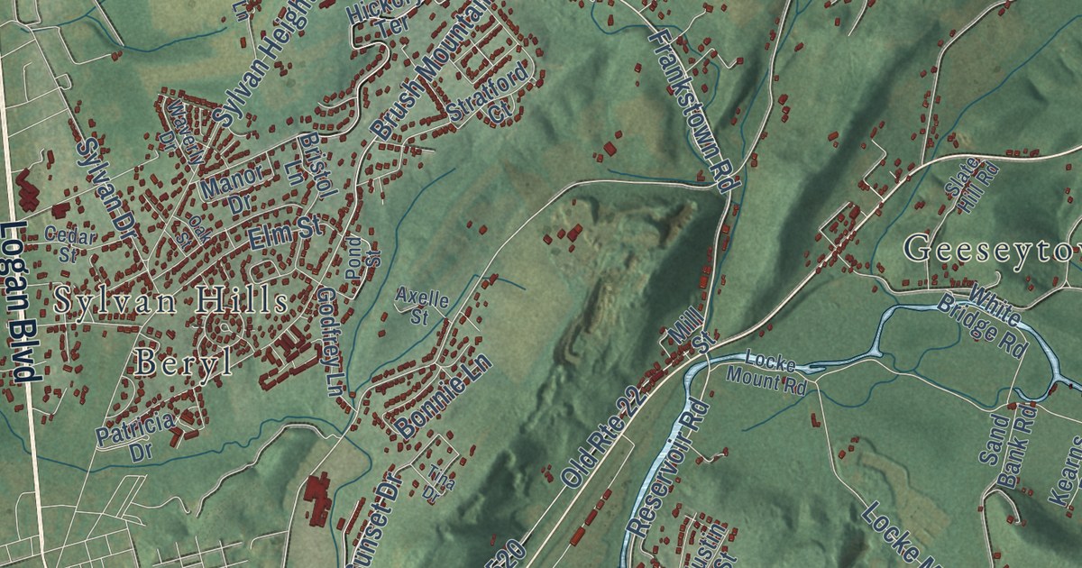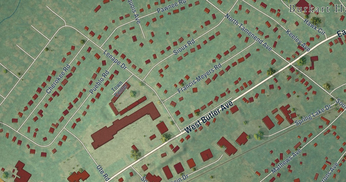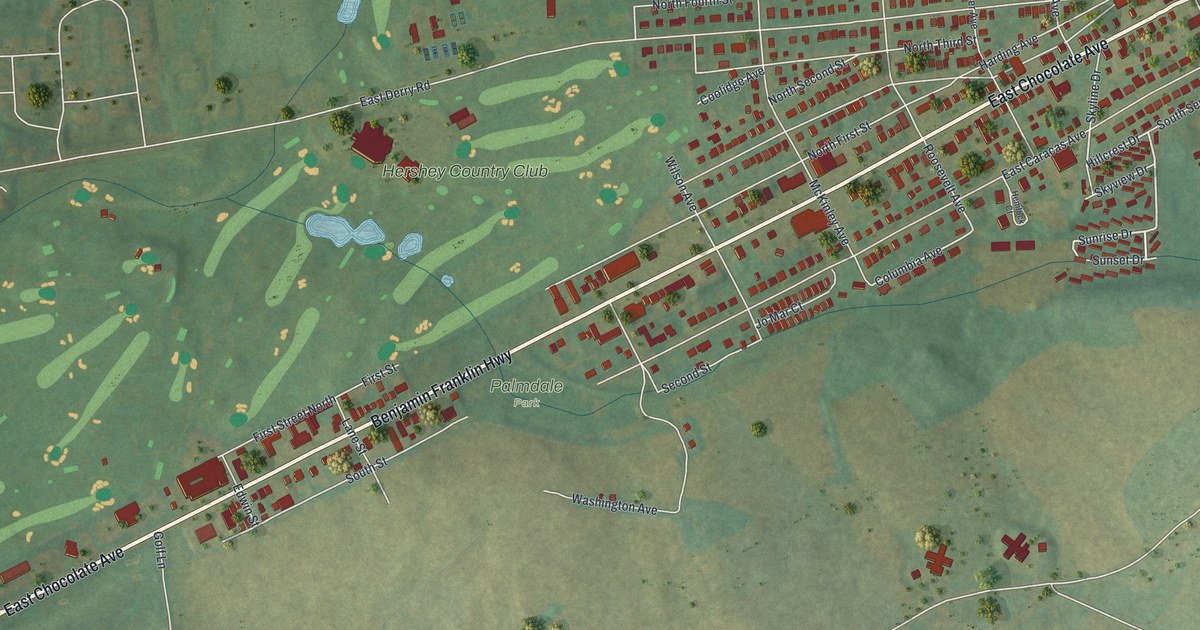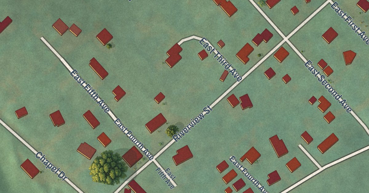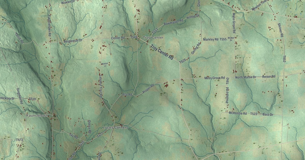
This beautifully detailed map of Troy, Crawford County, Pennsylvania was created in 2026 using aerial imagery combined with modern topographical, census, street and landmark data. It’s a one-of-a-kind view of Troy that combines accurate data with a vintage aesthetic. The map shows every building in its true location, many of the roads carry their names, and the shaded topographic relief shows the shape of the land.
Explore an aerial view of Troy, Crawford County, Pennsylvania
On the map you’ll find Mystic Park, Fauncetown, Troy Center, State Game Lands Number 69, and Luces Corners, along with Troy Center Road, Guys Mill Road, Shriner Road, North Martin Drive, Reiser Road, and more. If you look closely you can even find your house accurately drawn in its correct location. Zoom in on the preview to look for yours.
Did you know this piece of Troy, Crawford County, Pennsylvania history?
From Data.pa.gov: "The first functional railway oil tank car was invented and constructed in 1865 by James and Amos Densmore at nearby Miller Farm along Oil Creek."
Take a closer look at the Troy, Crawford County map
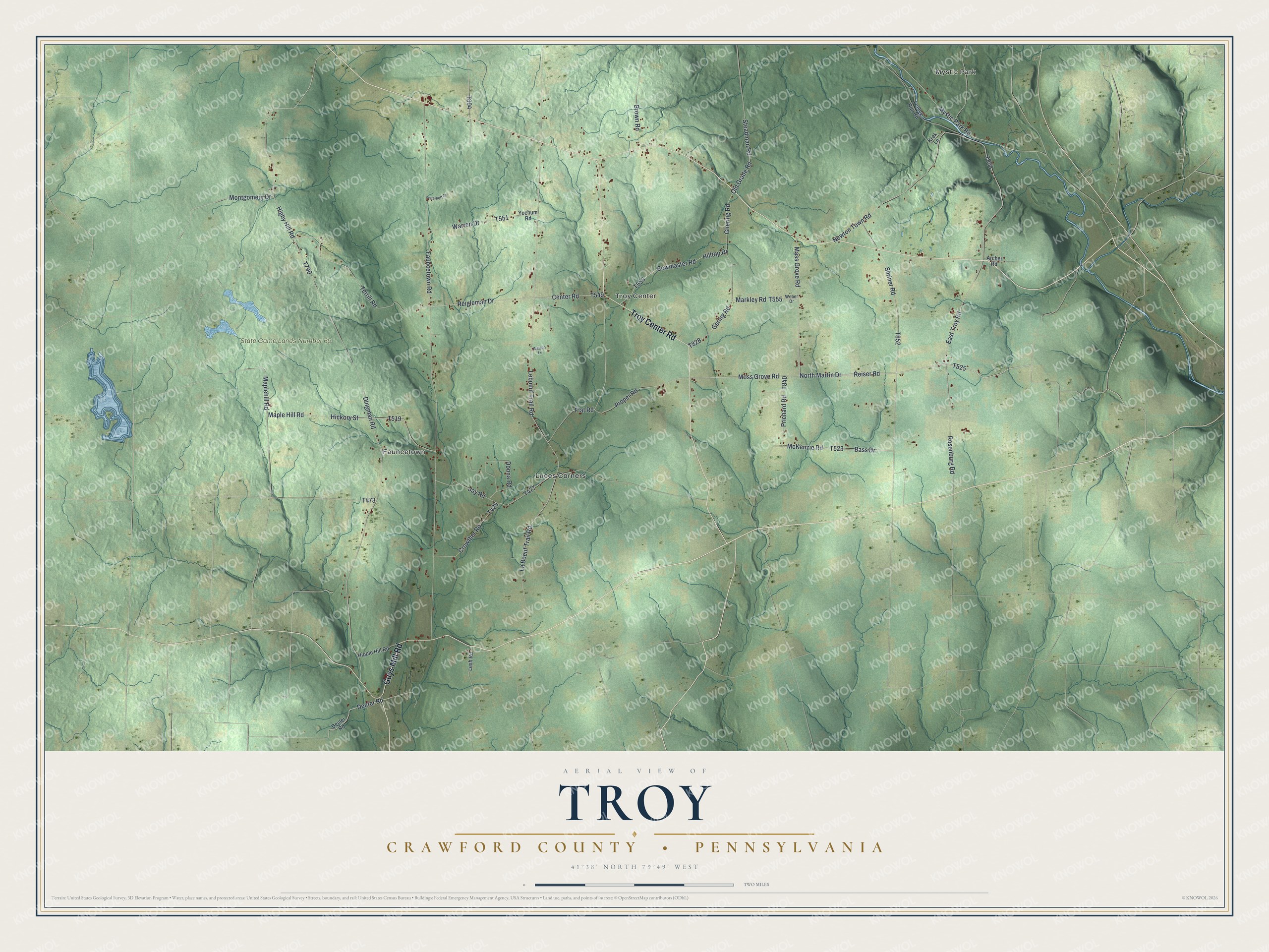
Street and place names on the Troy, Crawford County, Pennsylvania map
These names are printed on the map of Troy, Crawford County, Pennsylvania.
Places: Mystic Park, Fauncetown, Troy Center, State Game Lands Number 69 and Luces Corners.
Streets and roads: Troy Center Road, Guys Mill Road, Shriner Road, North Martin Drive, Reiser Road, Markley Road, Bass Drive, McKenzie Road, Deeter Road, Gering Road, Moss Grove Road, Higby Hill Road.
More street names, A to Z
Archer Road, Bowmaster Road, Brown Road, Center Road, Crowther Road, Deeler Road, Dingman Road, Donna Road, East Troy Road, Fauncetown Road, Fetterhoff Drive, Flat Road, Ghering Road, Hickory Street, Hilltop Drive, Hipple Hill Road, Jay Road, Krek Lane, La Boeuf Trail Road, Leboeuf Trail Road, Lesh Road, Maple Hill Road, Maplehill Road, Mass Grove Road, Montgomery Drive, Mystic Park Road, Newton Town Road, Old Grade Road, Prichard Road, Proper Road, Reigleman Drive, Rosenburg Road, Steadman Road, Terrill Road, Trolley Run Road, Warren Drive, Watson Lane, Weber Drive, Yochum Road.
See the Troy, Crawford County, Pennsylvania map on a wall
The Troy, Crawford County map as an 18 x 24 inch print in a black frame.

This beautifully detailed map of Troy, Crawford County makes an attractive addition to your office, library, or den, and it can even be used to teach children the geography and history of the area. It also makes a great gift for anyone with Troy roots. When you’re done exploring, click here to get your copy of the Troy, Crawford County map.