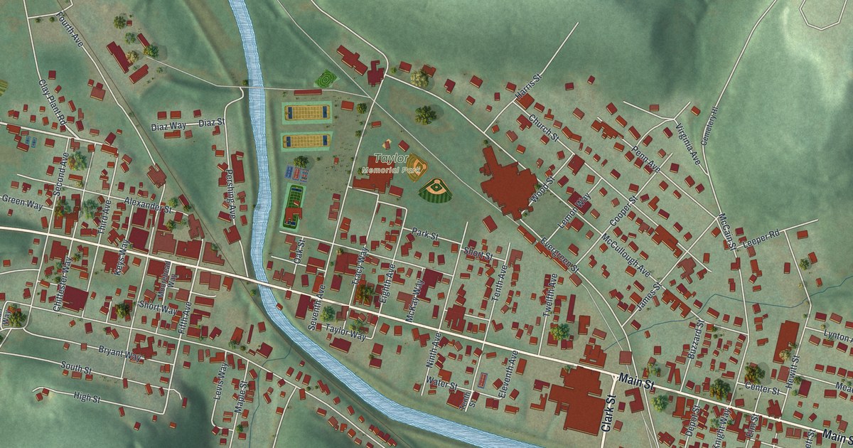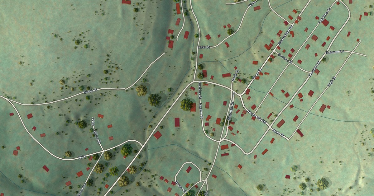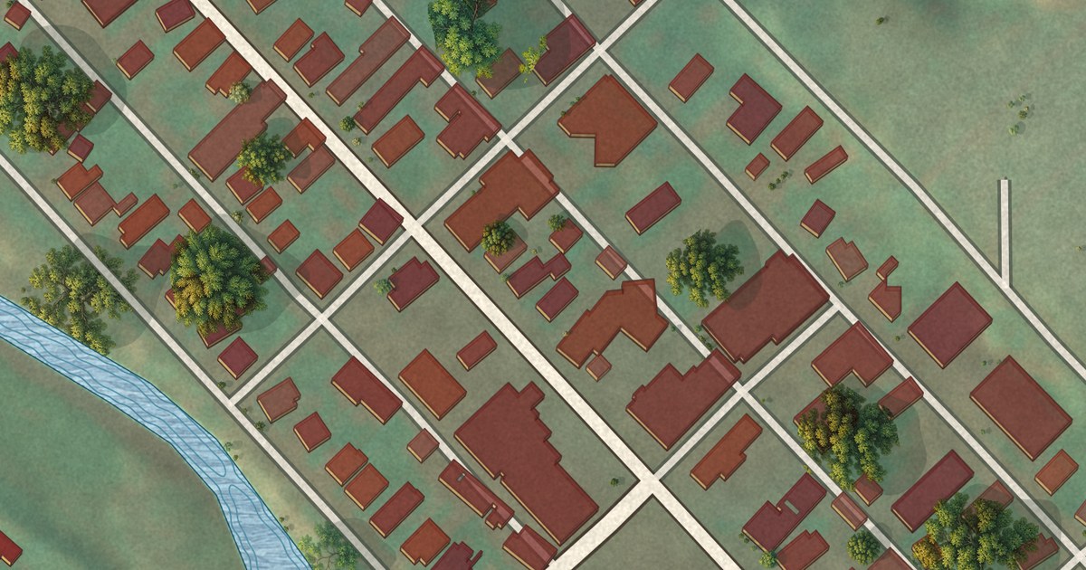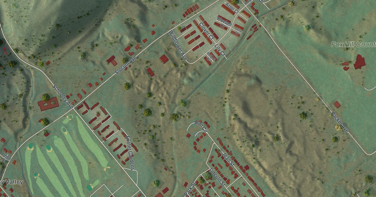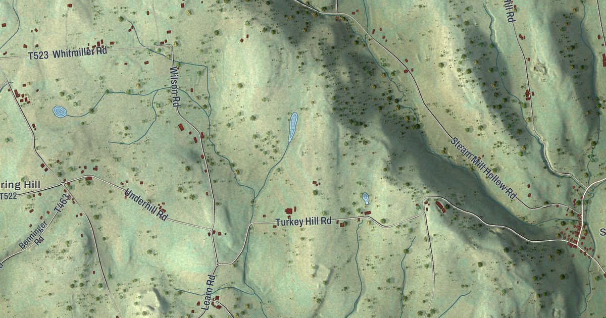
This beautifully detailed map of Tuscarora, Bradford County, Pennsylvania was created in 2026 using aerial imagery combined with modern topographical, census, street and landmark data. It’s a one-of-a-kind view of Tuscarora that combines accurate data with a vintage aesthetic. The map shows every building in its true location, many of the roads carry their names, and the shaded topographic relief shows the shape of the land.
Explore an aerial view of Tuscarora, Bradford County, Pennsylvania
On the map you’ll find Silvara and Spring Hill, along with Creek Road, Turkey Hill Road, Underhill Road, Edinger Hill Road, Wilson Road, County Line Road, and more. If you look closely you can even find your house accurately drawn in its correct location. Zoom in on the preview to look for yours.
Did you know this piece of Tuscarora, Bradford County, Pennsylvania history?
From the Pennsylvania Historical and Museum Commission: "The hill just southeast was the scene, Sept. 29, 1778, of a battle between Col. Thos. Hartley's men from Fort Muncy, and the Indians. Two days before, Hartley had burned Queen Esther's town near present Athens."
Take a closer look at the Tuscarora, Bradford County map
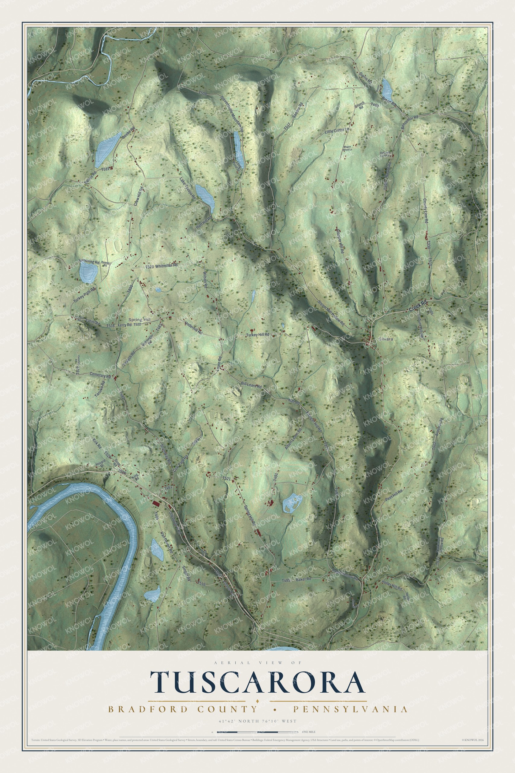
Street and place names on the Tuscarora, Bradford County, Pennsylvania map
These names are printed on the map of Tuscarora, Bradford County, Pennsylvania.
Places: Silvara and Spring Hill.
Streets and roads: Creek Road, Turkey Hill Road, Underhill Road, Edinger Hill Road, Wilson Road, County Line Road, Cemetary Road, Bill Learn Road, Hall Road, Spring Hill Road, Shumway Road, Tokach Road.
More street names, A to Z
Albert Learn Road, Baker Road, Beaver Lane, Bebee Road, Beebe Road, Benninger Road, Benscotor Road, Board Road, Broad Road, Brotzman Road, Browning Road, Cemetery Road, Church Road, Clapper Hill Road, Coburn Hill Road, Cornell Road, Cow Path Road, Crow Hill Road, Dale and Carol Lane, Diner Road, Ferry Road, Garris Road, Harcarik Lane, Havard Drive, Heller Hill Road, Heller Road, Huff Hill Road, Keeney Road, King Road, Kirk Road, Lake Tocojo Road, Latini Road, Learn Road, Little Critter Lane, Long Pond Drive, Old Route 6 Road, Peet Hill Road, Ruger Hollow Road, Sandor Road, Singer Road, Steam Mill Hollow Road, Stevensville Mountain Road, Tenneco Road, Tewksbury Hollow Road, Toad Hall Drive, Turkey Path Road, Van Devort Road, Voda Lane, Wagon Wheel Lane, Whitmiller Road, Yarinko Road.
See the Tuscarora, Bradford County, Pennsylvania map on a wall
The Tuscarora, Bradford County map as an 18 x 24 inch print in a black frame.

This beautifully detailed map of Tuscarora, Bradford County makes an attractive addition to your office, library, or den, and it can even be used to teach children the geography and history of the area. It also makes a great gift for anyone with Tuscarora roots. When you’re done exploring, click here to get your copy of the Tuscarora, Bradford County map.