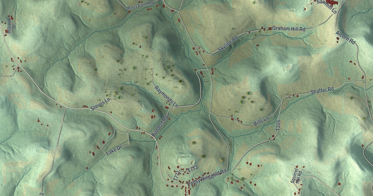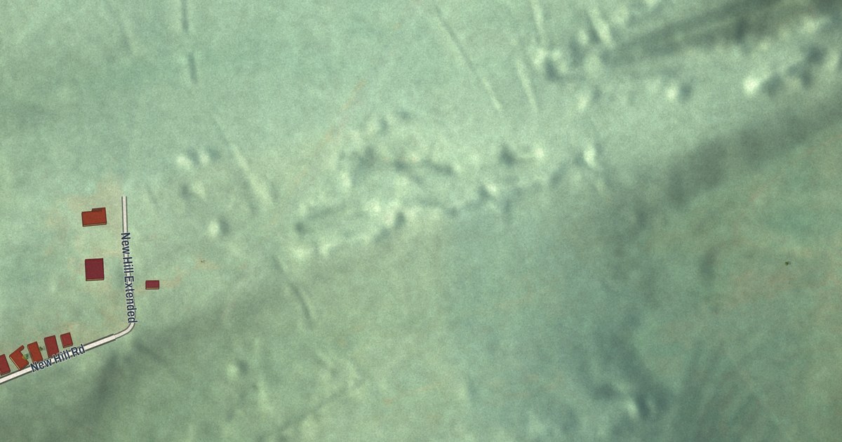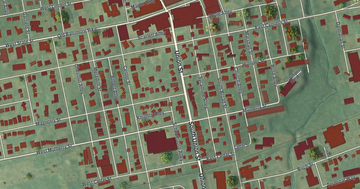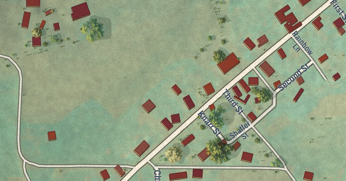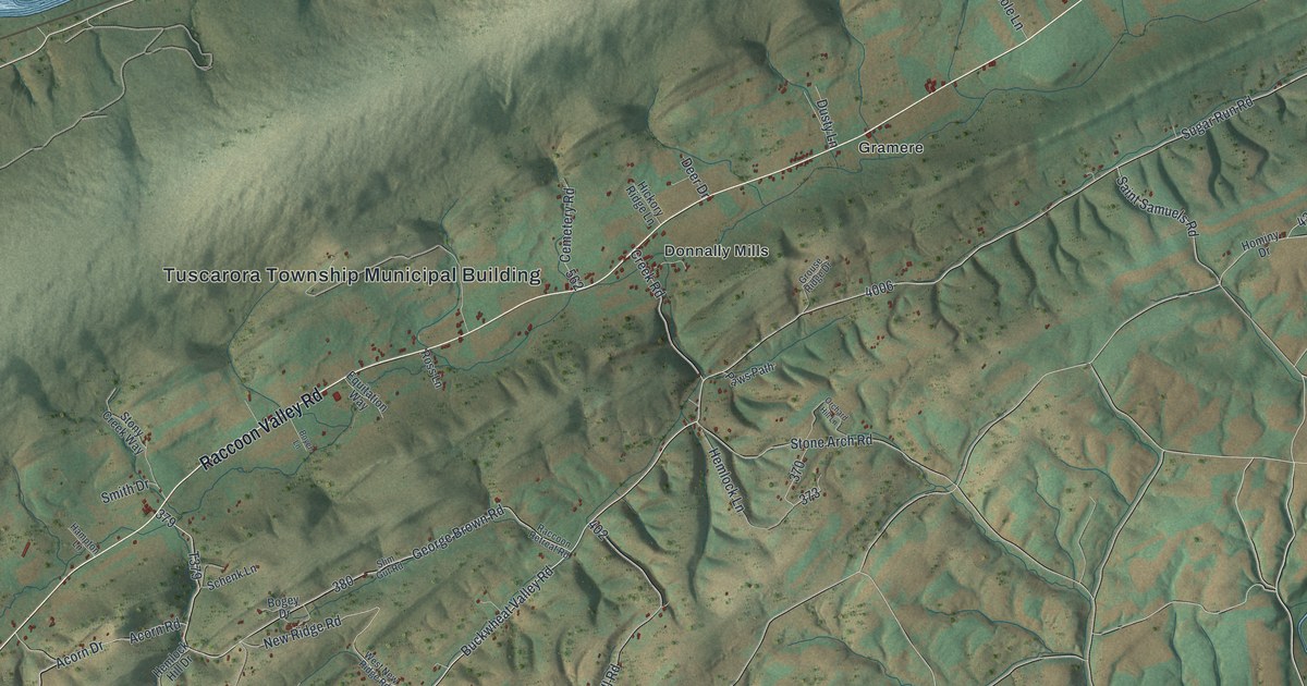
This beautifully detailed map of Tuscarora, Perry County, Pennsylvania was created in 2026 using aerial imagery combined with modern topographical, census, street and landmark data. It’s a one-of-a-kind view of Tuscarora that combines accurate data with a vintage aesthetic. The map shows every building in its true location, many of the roads carry their names, and the shaded topographic relief shows the shape of the land.
Explore an aerial view of Tuscarora, Perry County, Pennsylvania
On the map you’ll find Tuscarora Township Municipal Building, Tuscarora State Forest, Donnally Mills, Gramere, and Buffalo Trce, along with Creek Road, Raccoon Valley Road, Buckwheat Valley Road, Buckwheat Road, Knisely Hill Road, New Ridge Road, and more. If you look closely you can even find your house accurately drawn in its correct location. Zoom in on the preview to look for yours.
Did you know this piece of Tuscarora, Perry County, Pennsylvania history?
Tuscarora is the only Perry County township whose creation was put to a public vote. The court ordered an election, held on November 30, 1858, and the result was favorable. On January 3, 1859, the court named the new township Tuscarora and set elections at Michael Donnally’s house at Donnally’s Mills. That’s from the 1922 History of Perry County, Pennsylvania.
Take a closer look at the Tuscarora, Perry County map
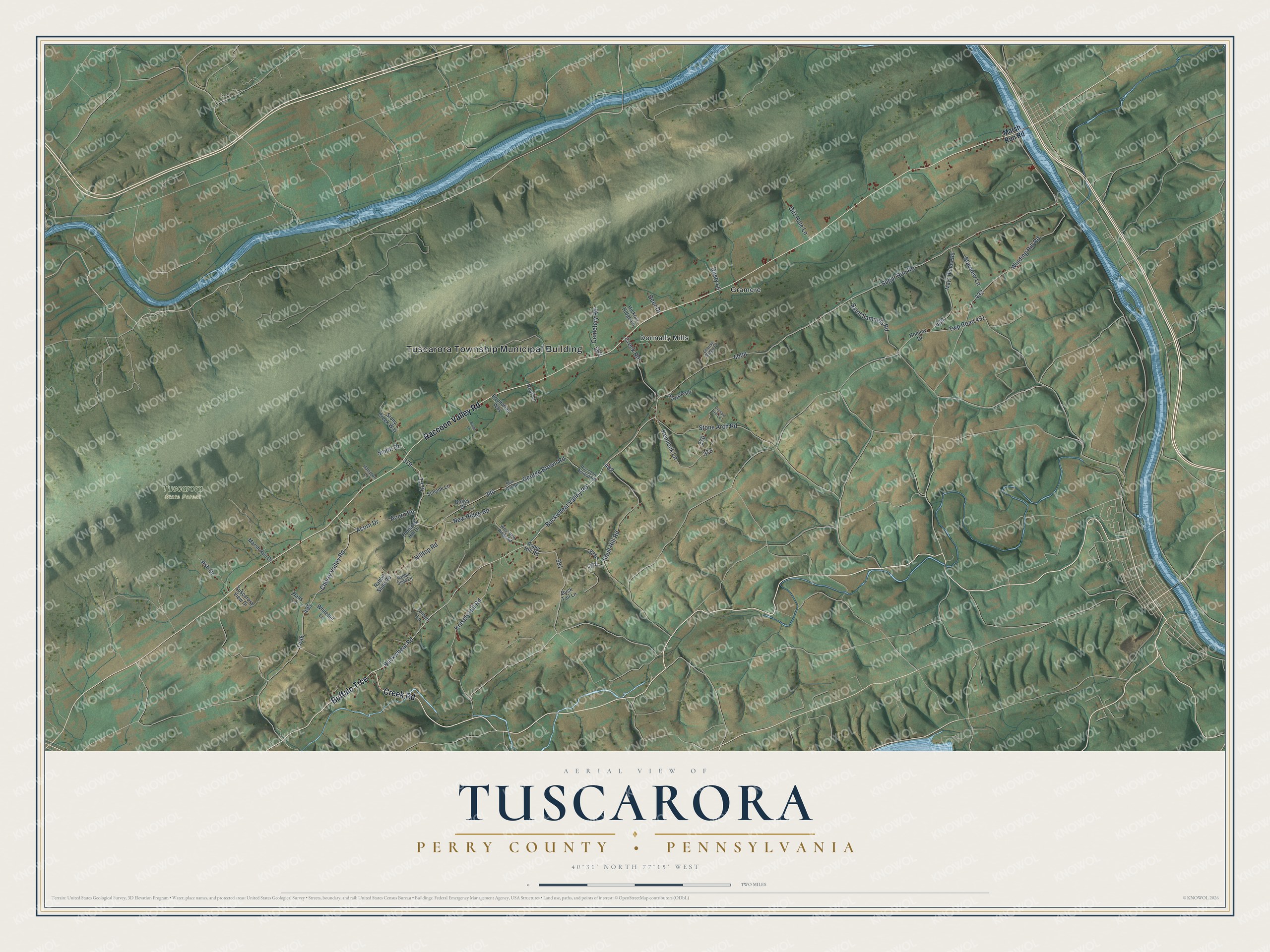
Street and place names on the Tuscarora, Perry County, Pennsylvania map
These names are printed on the map of Tuscarora, Perry County, Pennsylvania.
Places: Tuscarora Township Municipal Building, Tuscarora State Forest, Donnally Mills and Gramere.
Streets and roads: Creek Road, Raccoon Valley Road, Buffalo Trce, Buckwheat Valley Road, Buckwheat Road, Knisely Hill Road, New Ridge Road, Cherry Valley Road, Sugar Run Road, George Brown Road, Winding Hill Road, Shull Hill Road.
More street names, A to Z
Acorn Drive, Acorn Road, Ash Drive, Asper Hill Road, Bogey Drive, Boyer Lane, Buck Tail Lane, Cemetery Road, Deer Drive, Dirt Hole Lane, Dusty Lane, Equitation Way, Grouse Ridge Drive, Haas Lane, Hampton Lane, Hemlock Hill Drive, Hemlock Lane, Hickory Ridge Lane, Hilltop Road, Hominy Drive, Marsh Run Drive, Marsh Run Road, Mays Hollow Road, Orchard Hill Lane, Paws Path, Rabbit Slide Lane, Rabbit Slide Road, Raccoon Retreat Road, Ross Lane, Saint Samuels Road, Schenk Lane, Slim Gut Road, Smith Drive, Starview Lane, Stone Arch Road, Stony Creek Way, Tolbert Lane, Tuscarora View Drive, Twp Road 491, West New Ridge Road, Whitetail Lane.
See the Tuscarora, Perry County, Pennsylvania map on a wall
The Tuscarora, Perry County map as an 18 x 24 inch print in a black frame.

This beautifully detailed map of Tuscarora, Perry County makes an attractive addition to your office, library, or den, and it can even be used to teach children the geography and history of the area. It also makes a great gift for anyone who grew up in Tuscarora or moved away. When you’re done exploring, click here to get your copy of the Tuscarora, Perry County map.