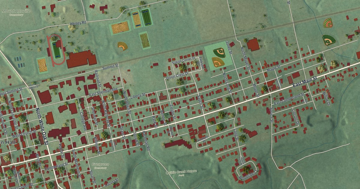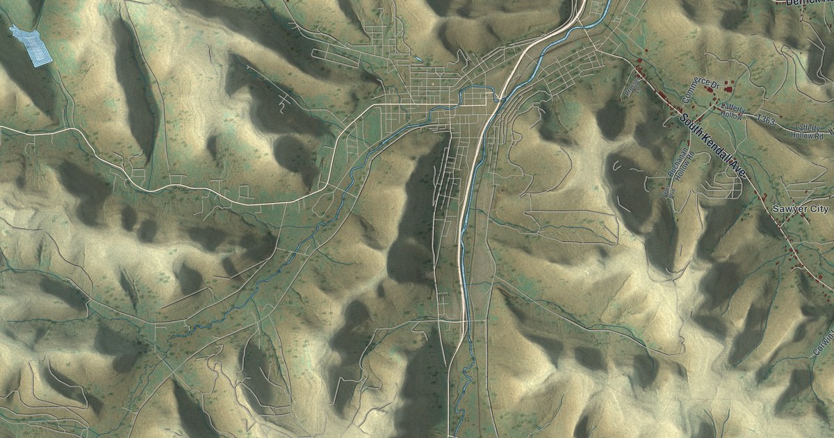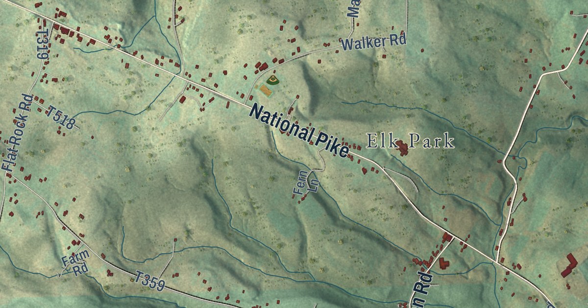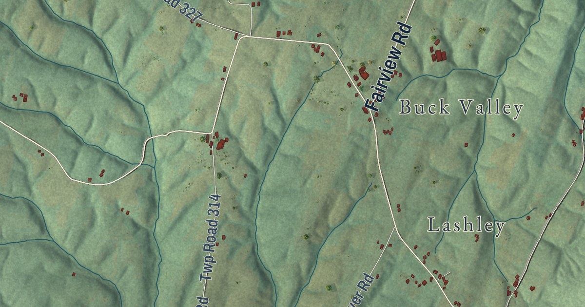
This beautifully detailed map of Union, Fulton County, Pennsylvania was created in 2026 using aerial imagery combined with modern topographical, census, street and landmark data. It’s a one-of-a-kind view of Union that combines accurate data with a vintage aesthetic. The map shows every building in its true location, many of the roads carry their names, and the shaded topographic relief shows the shape of the land.
Explore an aerial view of Union, Fulton County, Pennsylvania
On the map you’ll find Barnes Gap, Buchanan State Forest, State Game Lands Number 49, Amaranth, Buck Valley, Lashley, Point View, and Twp Road 366, along with McKees Gap Road, South Clear Ridge Road, Buck Valley Road, Fairview Road, and more. If you look closely you can even find your house accurately drawn in its correct location. Zoom in on the preview to look for yours.
Did you know this piece of Union, Fulton County, Pennsylvania history?
From the 1884 History of Bedford, Somerset, and Fulton Counties, Pennsylvania: "On the road first known as Packhorse path, leading from Hancock to Cumberland, first settled by two brothers named Molden, who kept tavern about 1800; then came Souders; then Clark, who built the first sawmill in the valley about 1810; then in 1845, the first flouring-mill was built at same place by David Mann."
Take a closer look at the Union, Fulton County map
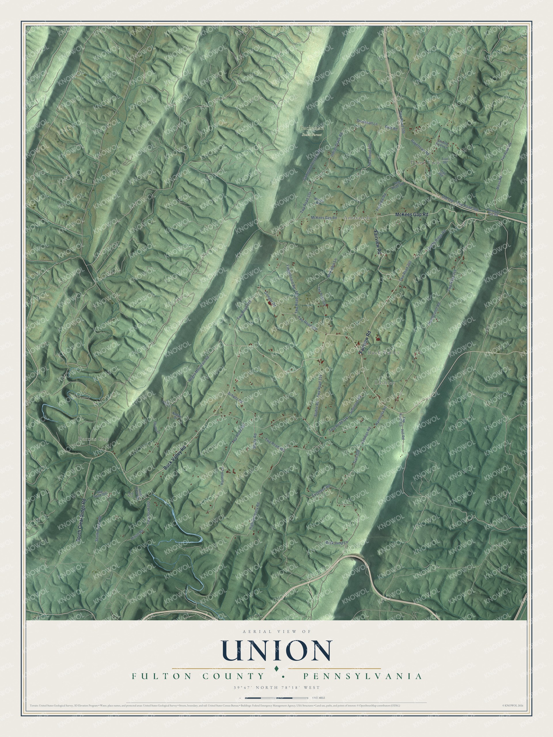
Street and place names on the Union, Fulton County, Pennsylvania map
These names are printed on the map of Union, Fulton County, Pennsylvania.
Places: Barnes Gap, Buchanan State Forest, Lashley, Point View, Amaranth and Buck Valley.
Streets and roads: McKees Gap Road, Buck Valley Road, Fairview Road, South Clear Ridge Road, Twp Road 327, Gienger Road, Hill Road, Buck Jump Lane, Twp Road 366, Fingerboard Road, Negro Mountain Road, Twp Road 310.
More street names, A to Z
Chump Lane, Deneens Gap Road, Dry Hollow Lane, Excelsior Road, Gameland Access Road, Harmonia Road, Harmon Lane, Hendershot Road, High Germany Road, Hixon Road, Indian Grave Road, Lehman Road, McKibbin Lane, Moss Road, Nadine Drive, Old 126, Papertown Road, Rice Road, Schriever Road, Schultz Road, Shaded Acres Lane, Shultz Road, South Foster Road, South Hixon Road, Stahle Road, Stonewall Lane, Trail 308, Trail 367, Trail 368, Twp Road 300, Twp Road 302, Twp Road 307, Twp Road 313, Twp Road 314, Twp Road 316, Twp Road 318, Twp Road 319, Twp Road 324, Twp Road 326, Twp Road 330, Twp Road 334, Twp Road 336, Twp Road 340, Twp Road 402, Twp Road 465, Wolf Pit Lane, Woods Road, Zachs Ridge Road.
See the Union, Fulton County, Pennsylvania map on a wall
The Union, Fulton County map as an 18 x 24 inch print in a black frame.

This beautifully detailed map of Union, Fulton County makes an attractive addition to your office, library, or den, and it can even be used to teach children the geography and history of the area. It also makes a great gift for someone who left Union and still calls it home. When you’re done exploring, click here to get your copy of the Union, Fulton County map.