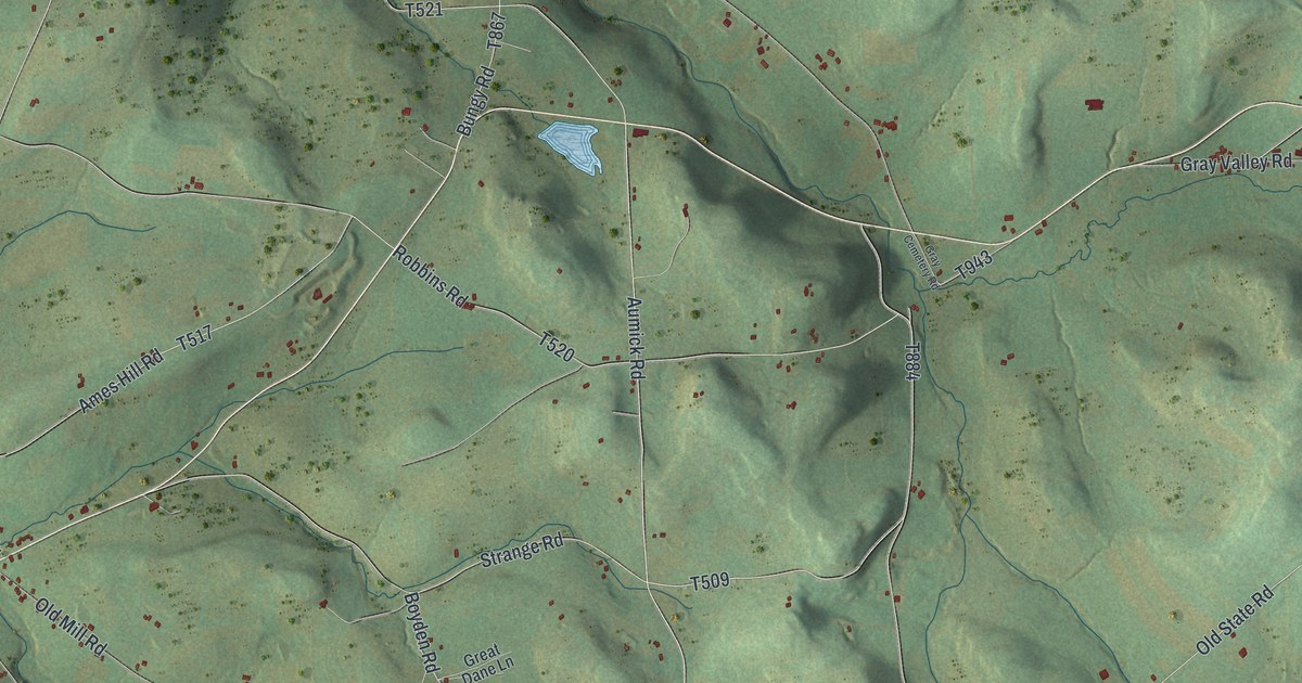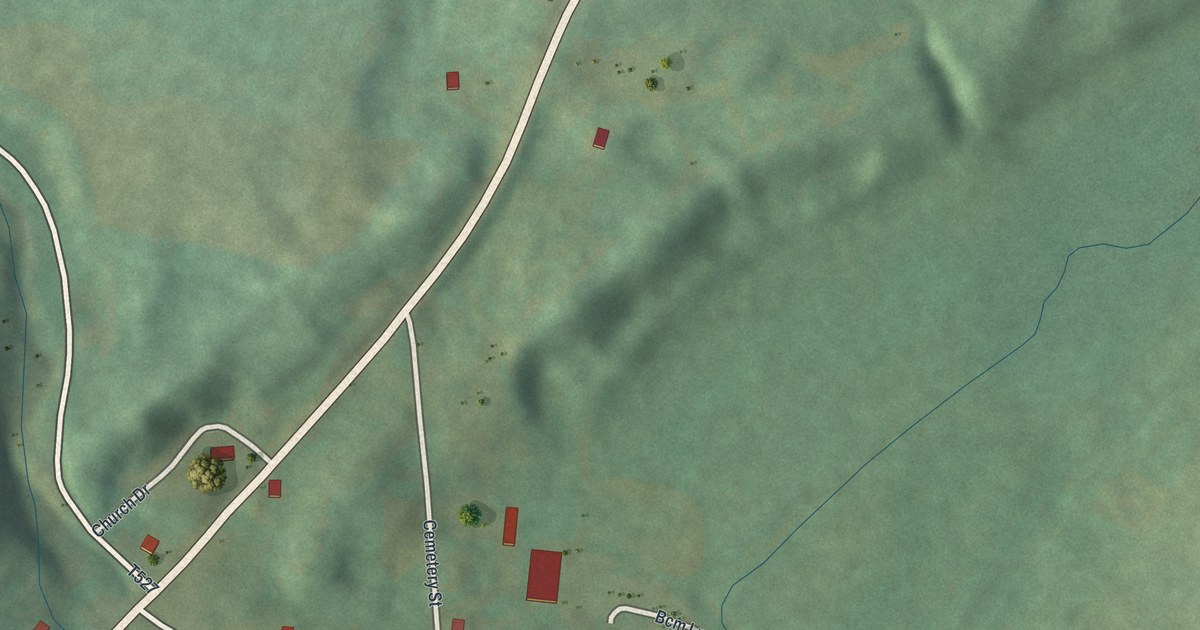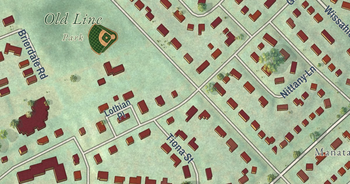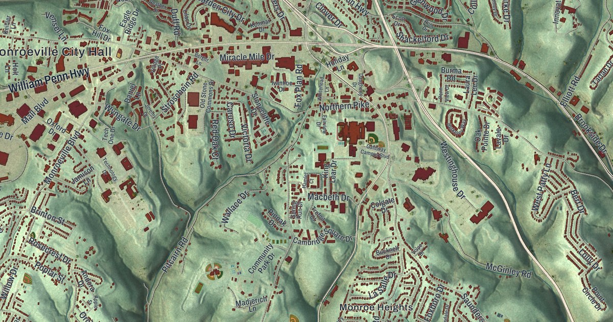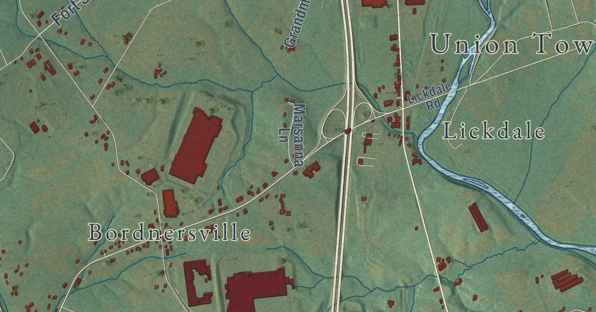
This beautifully detailed map of Union, Lebanon County, Pennsylvania was created in 2026 using aerial imagery combined with modern topographical, census, street and landmark data. It’s a one-of-a-kind view of Union that combines accurate data with a vintage aesthetic. The map shows every building in its true location, many of the roads carry their names, and the shaded topographic relief shows the shape of the land.
Explore an aerial view of Union, Lebanon County, Pennsylvania
On the map you’ll find Union Township Hall, West Jonestown, Swatara State Park, Bordnersville, Fort Indiantown Gap, Green Point, Inwood, Lickdale, Murray, and Twin Grove Park, along with Moonshine Road, Allentown Boulevard, and more. If you look closely you can even find your house accurately drawn in its correct location. Zoom in on the preview to look for yours.
Did you know this piece of Union, Lebanon County, Pennsylvania history?
From the Pennsylvania Historical and Museum Commission: "A stevedore training program was established in 1942 at Fort Indiantown Gap. Soldiers were trained to load and unload cargo using three wood and concrete dry land ships. Many recruits were African Americans whose companies were segregated from their parent port battalions during instruction but not in WWII combat locales such as Italy and Normandy Beach on D-Day. Training provided here enabled efficient operations instrumental in Allied victory."
Take a closer look at the Union, Lebanon County map
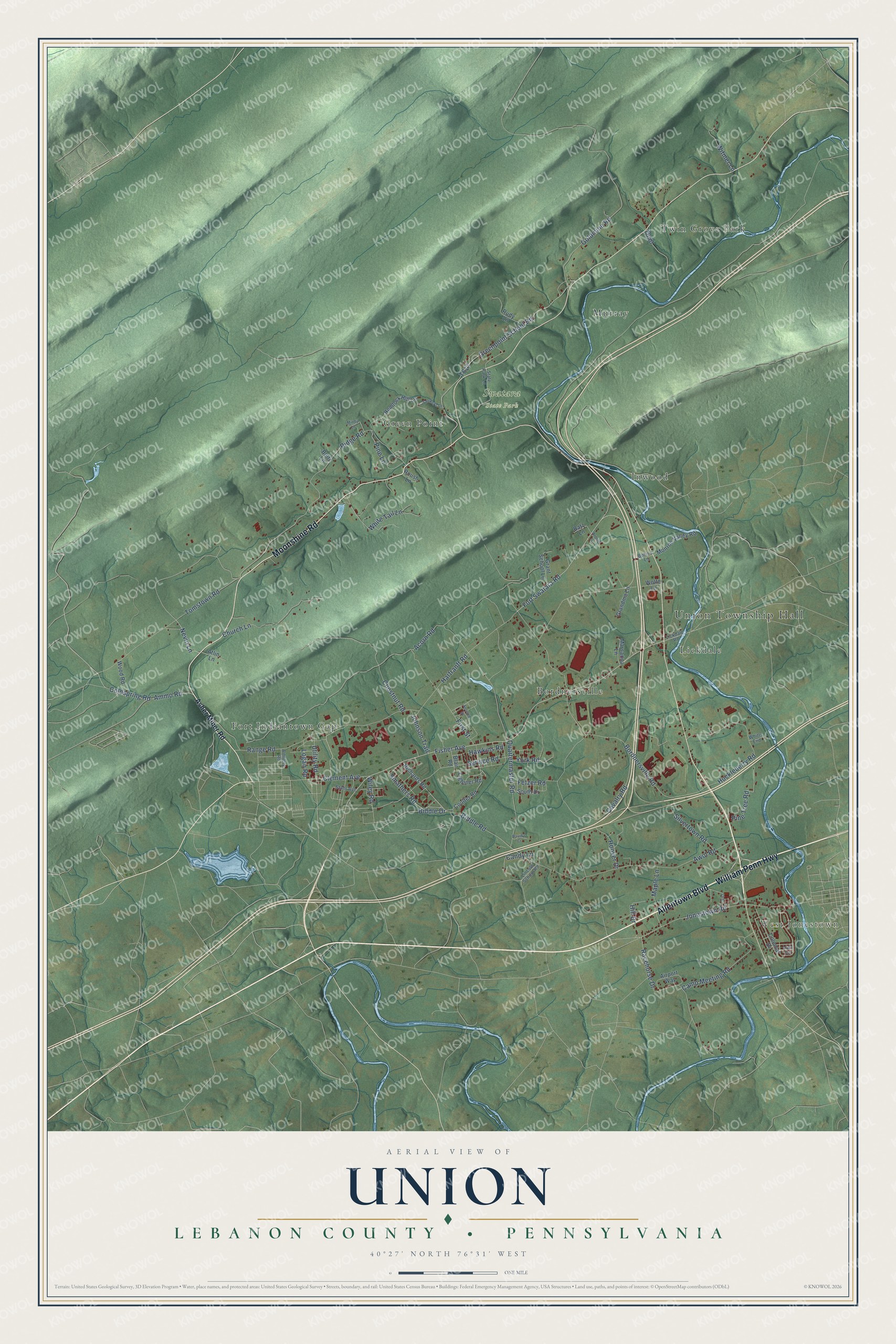
Street and place names on the Union, Lebanon County, Pennsylvania map
These names are printed on the map of Union, Lebanon County, Pennsylvania.
Places: Union Township Hall, West Jonestown, Swatara State Park, Fort Indiantown Gap, Twin Grove Park, Bordnersville, Murray, Green Point, Inwood and Lickdale.
Streets and roads: Moonshine Road, Allentown Boulevard, William Penn Highway, Fisher Avenue, Fort Swatara Road, Biddle Road, Acorn Road, Bordnersville Road, Ridge Road, Awol Road, Range Road, Greenpoint School Road.
More street names, A to Z
Airport Way, Ammo Road, Arnold Lane, Artillery Road, Asher Miner Road, Atlin Lane, Batz Lane, Biddle Drive, Blair Road, Bohn's Lane, Boltz Lane, Camp Meeting Road, Candy Lane, Cavalry Road, Chestnut Road, Church Lane, Clement Avenue, Coldspring Road, Colonial Drive, Coulter Road, David's Court, Fetzer Road, First Street, Goldmine Road, Grandma Lane, Grant School Lane, Hartranft Road, Hawkins Road, Hemlock Hill Lane, Hill Drive, Hoover Drive, Huckleberry Road, Johnson Trail, Jonestown Road, Lickdale Road, Lightner Road, Lincoln School Road, Lion Lane, Logan Road, Maple Lane, Marsanna Lane, Mindy Lane, Monroe Valley Road, Nevin Lane, Pine Lane, Pine Tree Road, Quartermaster Road, Racehorse Drive, Richards Road, Roush Lane, Rudy Lane, Second Street, Service Road, Silvertown Road, Smathers Road, Smokeys Lane, South Drive, Stahr Avenue, State Park Lane, Tomstown Road, Utility Road, White Tail Lane, Whitts End, Wiley Road, Witmer Lane, Wolfe Lane, Wood Road, York Road.
See the Union, Lebanon County, Pennsylvania map on a wall
The Union, Lebanon County map as an 18 x 24 inch print in a black frame.

This beautifully detailed map of Union, Lebanon County makes an attractive addition to your office, library, or den, and it can even be used to teach children the geography and history of the area. It also makes a great gift for anyone with Union roots. When you’re done exploring, click here to get your copy of the Union, Lebanon County map.