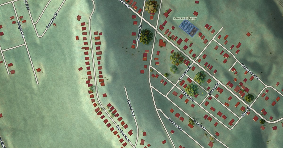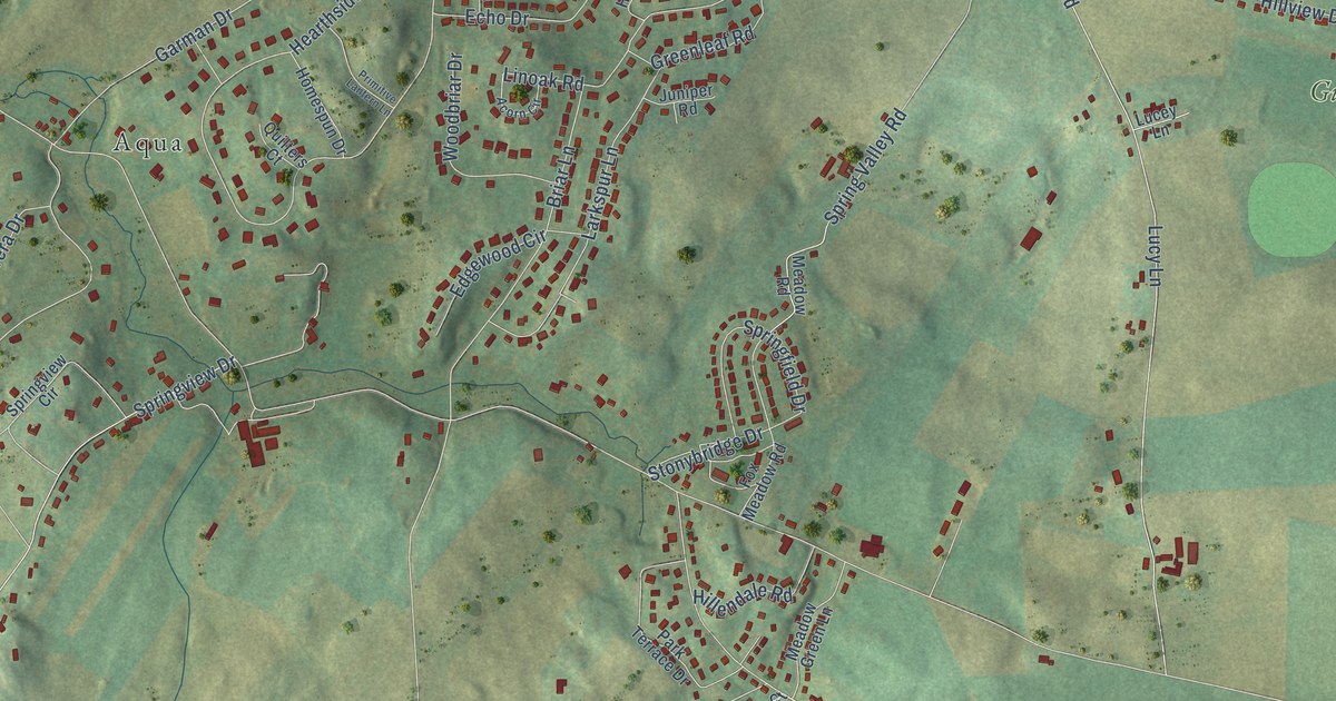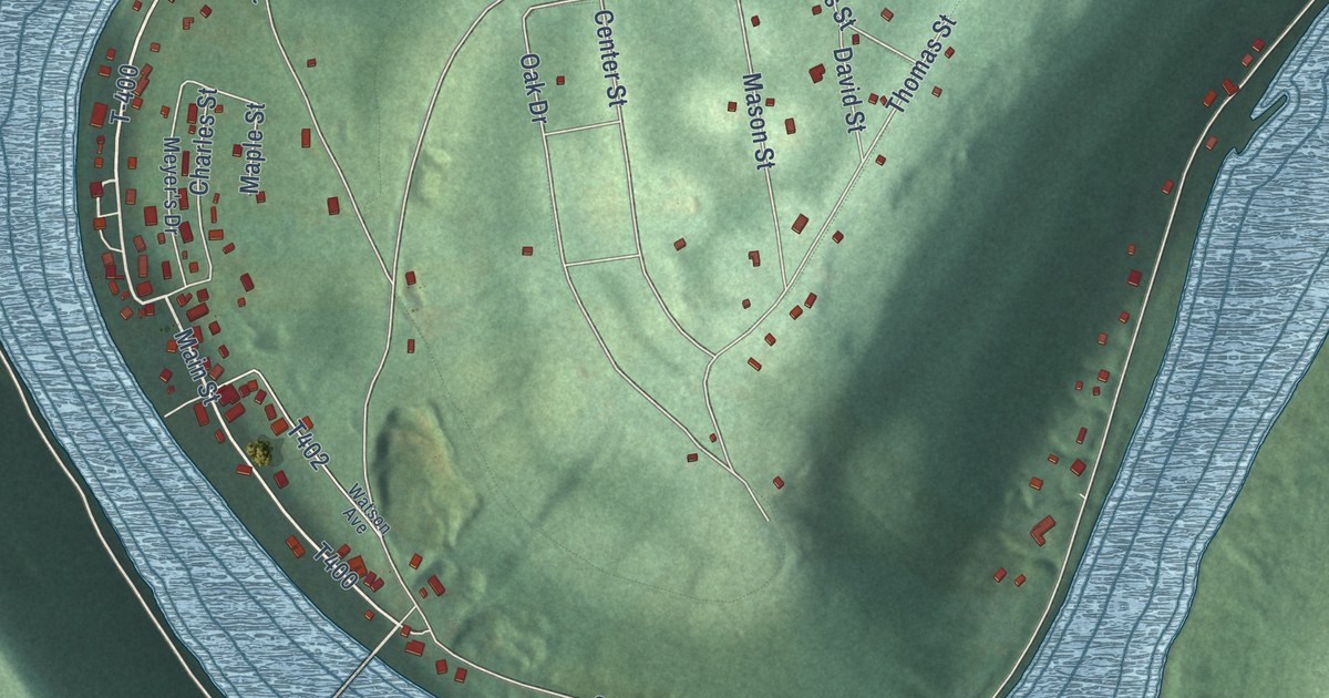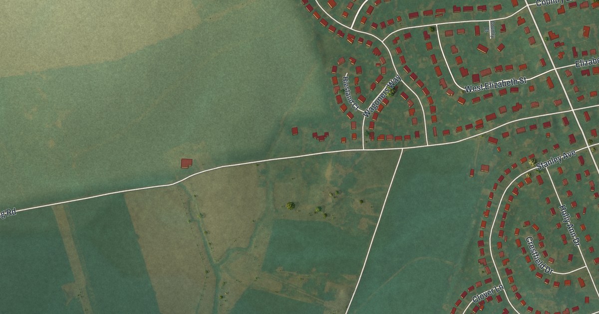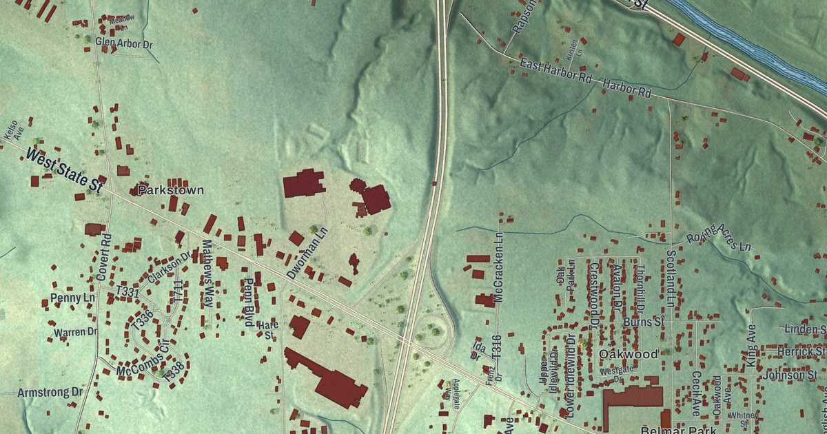
This beautifully detailed map of Union, Lawrence County, Pennsylvania was created in 2026 using aerial imagery combined with modern topographical, census, street and landmark data. It’s a one-of-a-kind view of Union that combines accurate data with a vintage aesthetic. The map shows every building in its true location, many of the roads carry their names, and the shaded topographic relief shows the shape of the land.
Explore an aerial view of Union, Lawrence County, Pennsylvania
On the map you’ll find Union Township Municipal Building, Oakland, Harbor, Belmar Park, Oakwood, Parkstown, and Westview Heights, along with Sampson Street, Ben Franklin Parkway, Benjamin Franklin Parkway, West State Street, Harbor Road, and more. If you look closely you can even find your house accurately drawn in its correct location. Zoom in on the preview to look for yours.
Did you know this piece of Union, Lawrence County, Pennsylvania history?
From an 1870s atlas and history of Lawrence County, Pennsylvania: "Daniel built his cabin on land afterwards washed away in November, 1835, at a time when a great flood threatened to submerge the borough of New Castle, and the river was turned around the west end of where now is the iron bridge, to let the waters have a freer passage."
Take a closer look at the Union, Lawrence County map
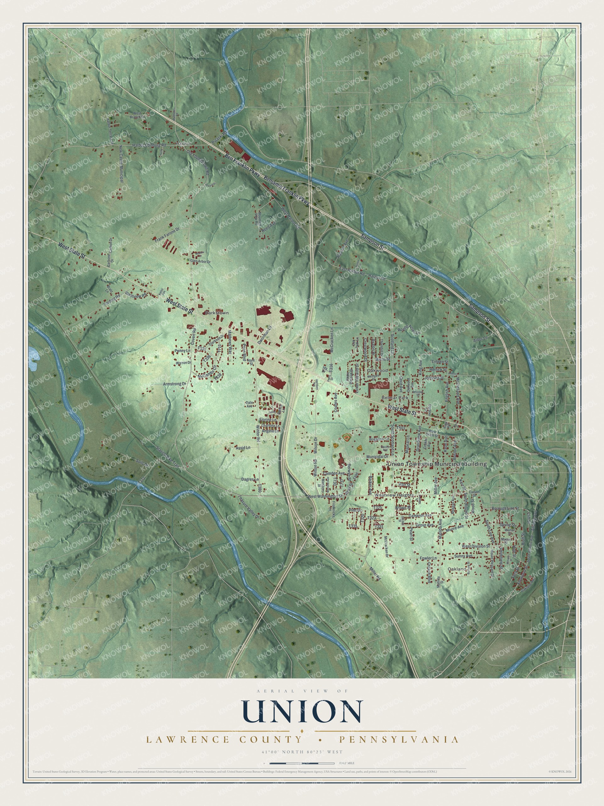
Street and place names on the Union, Lawrence County, Pennsylvania map
These names are printed on the map of Union, Lawrence County, Pennsylvania.
Places: Union Township Municipal Building, Oakland, Harbor, Belmar Park, Oakwood, Parkstown and Westview Heights.
Streets and roads: Sampson Street, Ben Franklin Parkway, Benjamin Franklin Parkway, West State Street, Harbor Road, Covert Road, Old Youngstown Road, Wilson Drive, Elmwood Street, Cameron Avenue, Borough Line Street, West Washington Street.
More street names, A to Z
Allen Street, Angela Lane, Applegate Way, Arbor Lane, Armstrong Drive, Assid Lane, Atlantic Avenue, Avalon Drive, Avon Street, Barbra Lane, Barker Avenue, Berwyn Street, Bluff Street, Boston Avenue, Botham Street, Bratz Lane, Brigadoon Lane, Brown Street, Burns Street, Camden Avenue, Carbon Drive, Carbone Drive, Carson Street, Cecil Avenue, Charlotte Lane, Clarkson Drive, Cliff Street, Coates Avenue, Conkle Avenue, Coolidge Street, Crestwood Drive, Croach Boulevard, Dagres Lane, Dale Avenue, Davies Avenue, Dworman Lane, East Harbor Road, English Avenue, Fern Street, Florine Lane, Fording Road, Fowler Lane, Frank Farone Drive, Fredericks Lane, Frenz Drive, Garden Street, Gardner Lane, Glen Arbor Drive, Grandview Avenue, Grove Avenue, Harbor Edinburg Road, Harbor Terrace Drive, Hare Street, Harley Drive, Hart Street, Herrick Street, High Street, Howard Drive, Ida Drive, Jennie Lane, Johnson Street, Kelso Avenue, Kerr Street, King Avenue, Knox Avenue, Kristen Lane, Leasure Valley Drive, Linden Street, Lower Idlewild Drive, Magee Street, Mapeat Lane, Marlboro Street, Mathews Way, Matilda Avenue, Matilda Street, Matthews Road, McClelland Avenue, McCombs Circle, McCracken Drive, McCracken Lane, Meadow Lane, Meegan Avenue, Meriline Avenue, Miller Avenue, Miller Road, Moore Avenue, Mountain View Road, Mount Pleasant Street, Municipal Drive, New Castle Municipal, Oakland Avenue, Oak Park Lane, Oakwood Avenue, Pearl Street, Penn Boulevard, Penny Lane, Pine Drive, Pulaski Road, Rapson Avenue, Rebecca Street, Reed Avenue, Ridge Avenue, Rolling Acres Lane, Scotland Lane, Smithfield Street, Soils Drive, South Atlantic Avenue, South Lee Avenue, South Round Street, South Scotland Lane, Spring Street, Stavich Bike Trail, Sunny Avenue, Thornhill Drive, Upper Idlewild Drive, Walter Street, Warren Drive, West Branch Drive, West Division Street, Westgate Drive, West Grant Street, West Harbor Road, Westview Road, Whitney Street, Williams Street, Wilson Road, Winter Road, Wood Street.
See the Union, Lawrence County, Pennsylvania map on a wall
The Union, Lawrence County map as an 18 x 24 inch print in a black frame.

This beautifully detailed map of Union, Lawrence County makes an attractive addition to your office, library, or den, and it can even be used to teach children the geography and history of the area. It also makes a great gift for someone who left Union and still calls it home. When you’re done exploring, click here to get your copy of the Union, Lawrence County map.