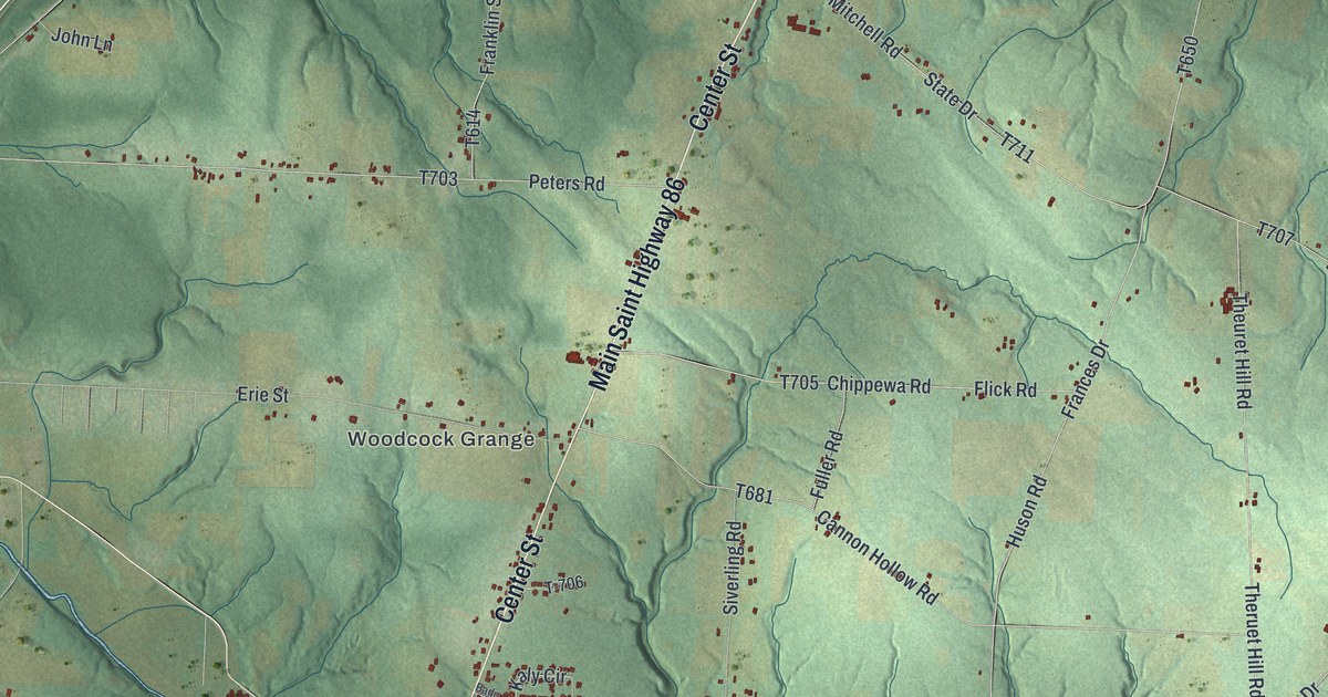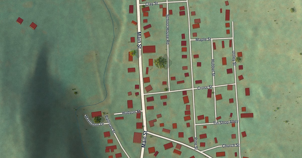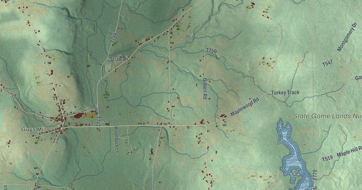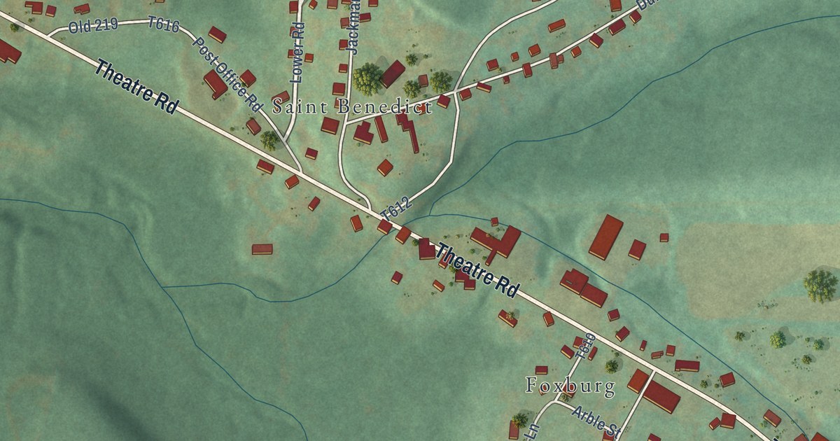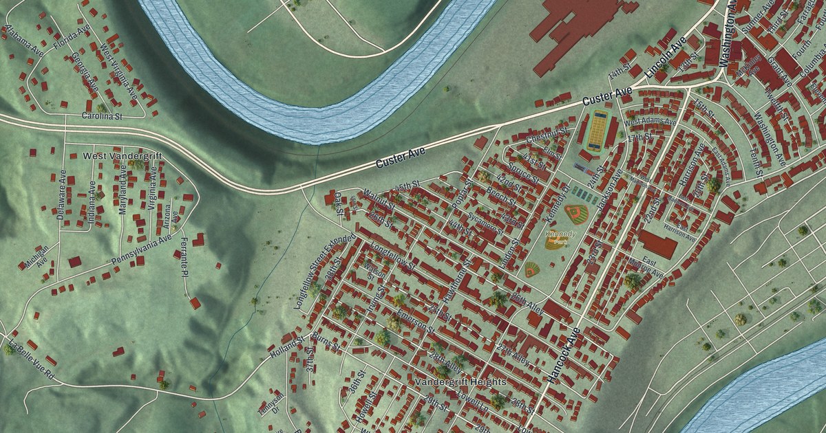
This beautifully detailed map of Vandergrift, Pennsylvania was created in 2026 using aerial imagery combined with modern topographical, census, street and landmark data. It’s a one-of-a-kind view of Vandergrift that combines accurate data with a vintage aesthetic. The map shows every building in its true location, many of the roads carry their names, and the shaded topographic relief shows the shape of the land.
Explore an aerial view of Vandergrift, Pennsylvania
On the map you’ll find Kennedy Park, Vandergrift Heights, and West Vandergrift, along with Washington Avenue, Custer Avenue, Lincoln Avenue, Hancock Avenue, Foundry Street, First Street, Ninth Street, Second Street, La Belle Vue Road, and more. If you look closely you can even find your house accurately drawn in its correct location. Zoom in on the preview to look for yours.
Did you know this piece of Vandergrift, Pennsylvania history?
In 1895 the Apollo Iron and Steel Company built a steelworks and hired the Olmsted firm, the top landscape architects in the nation, to plan Vandergrift. Company leader George McMurtry wanted good housing and a pleasant setting for his workers. Many of them bought homes. Early in the 1900s, the town’s sheet steel mill was the biggest on earth.
Take a closer look at the Vandergrift map
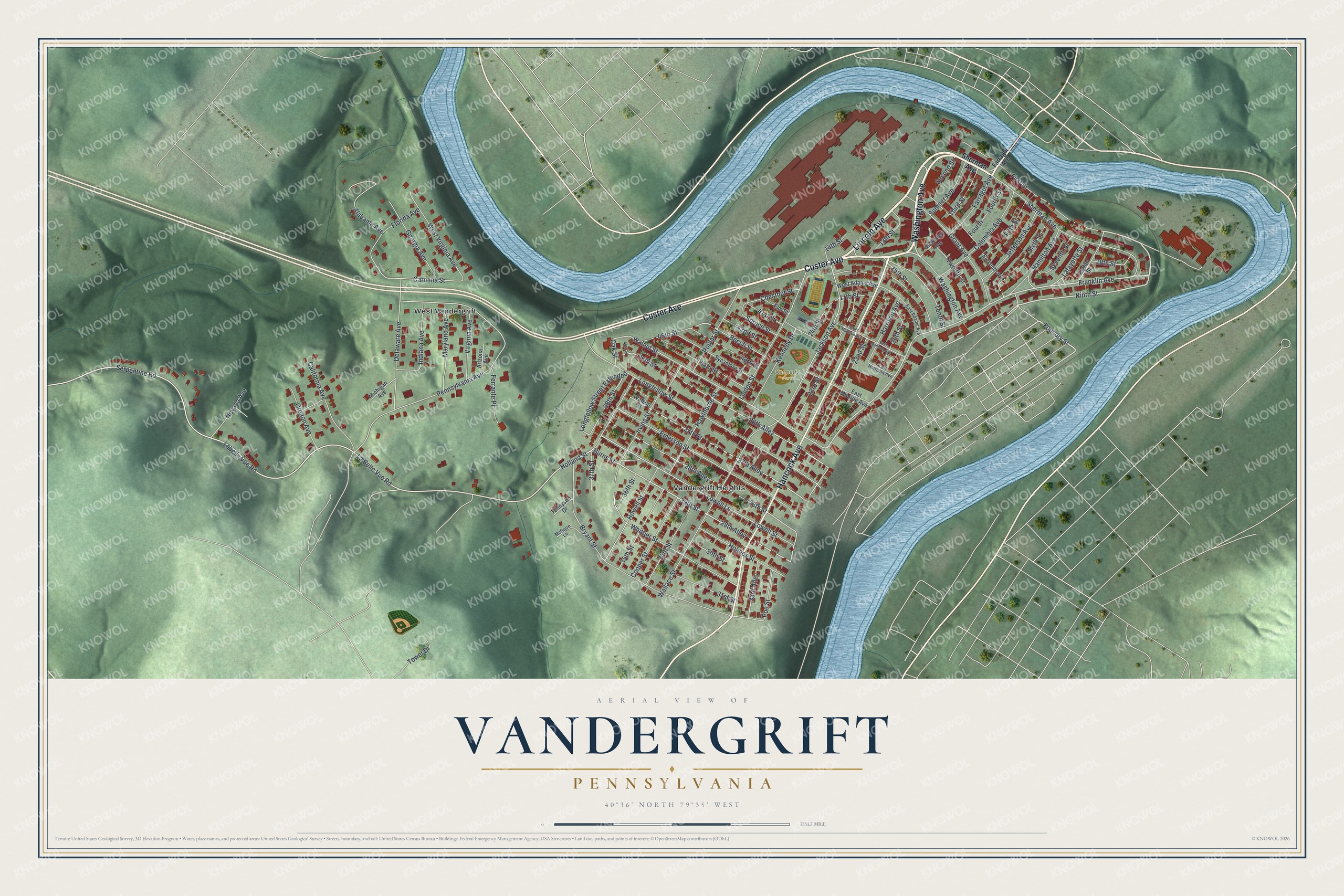
Street and place names on the Vandergrift, Pennsylvania map
These names are printed on the map of Vandergrift, Pennsylvania.
Places: Kennedy Park, Vandergrift Heights and West Vandergrift.
Streets and roads: Washington Avenue, Custer Avenue, Lincoln Avenue, Hancock Avenue, Foundry Street, First Street, Ninth Street, Second Street, La Belle Vue Road, Franklin Avenue, Burns Street, 29th Street.
More street names, A to Z
13th Street, 14th Street, 15th Street, 17th Street, 18th Street, 20th Street, 22nd Street, 23rd Street, 24th Street, 26th Alley, 26th Street, 27th Alley, 27th Street, 28th Alley, 28th Street, 29th Alley, 30th Street, 31st Street, 33rd Alley, 34th Street, 35th Street, 36th Street, 37th Street, 38th Street, 41st Street, 42nd Street, 43rd Street, 44th Street, 45th Street, 46th Street, Alabama Avenue, Arizona Avenue, Beech Street, Bryant Street, California Avenue, Carolina Street, Chestnut Street, Columbia Avenue, Cooper Street, Delaware Avenue, East Adams Avenue, East Harrison Avenue, East Madison Avenue, East Monroe Avenue, Eighth Street, Eleventh Avenue, Elm Street, Emerson Street, Farragut Avenue, Ferrante Place, Fifth Street, Florida Avenue, Fourth, Fourth Street, Georgia Avenue, Grant Avenue, Hamilton Avenue, Harrison Avenue, Hawthorne Street, Holland Street, Holmes Street, Howell Street, Indiana Avenue, Irving Street, Jackson Avenue, Jefferson Avenue, Kennedy Drive, Labelle Vue Road, Lafayette Street, Linden Street, Longfellow Street, Longfellow Street Extended, Lowell Lane, Lowell Street, Maryland Avenue, McGuire Lane, McKinley Avenue, Michigan Avenue, Nevada Avenue, Oak Street, Oregon Avenue, Pennsylvania Avenue, Poe Street, Poplar Street, Serpentine Road, Seventh Street, Sherman Avenue, Sixth Street, Spruce Street, Sumner Avenue, Sycamore Street, Tennyson Drive, Tenth Street, Third Street, Tower Drive, Twelfth Street, Virginia Avenue, Wallace Street, Walnut Street, Watson Street, West Adams Avenue, West Madison Avenue, West Virginia Avenue, Whittier Street.
See the Vandergrift, Pennsylvania map on a wall
The Vandergrift map as an 18 x 24 inch print in a black frame.

This beautifully detailed map of Vandergrift makes an attractive addition to your office, library, or den, and it can even be used to teach children the geography and history of the area. It also makes a great gift for someone who left Vandergrift and still calls it home. When you’re done exploring, click here to get your copy of the Vandergrift map.