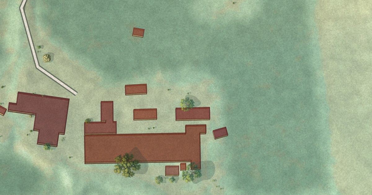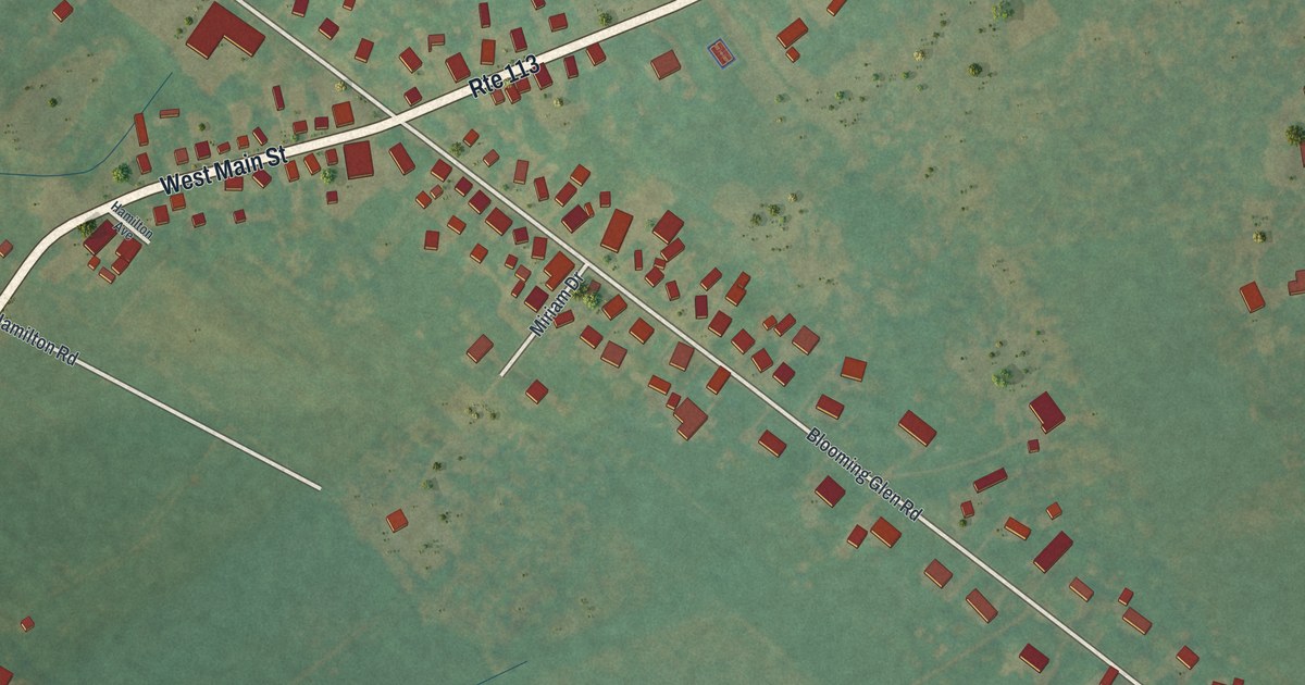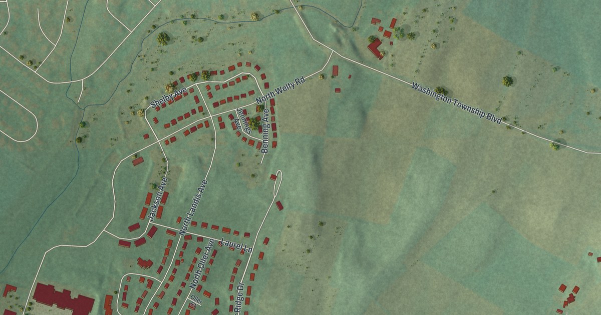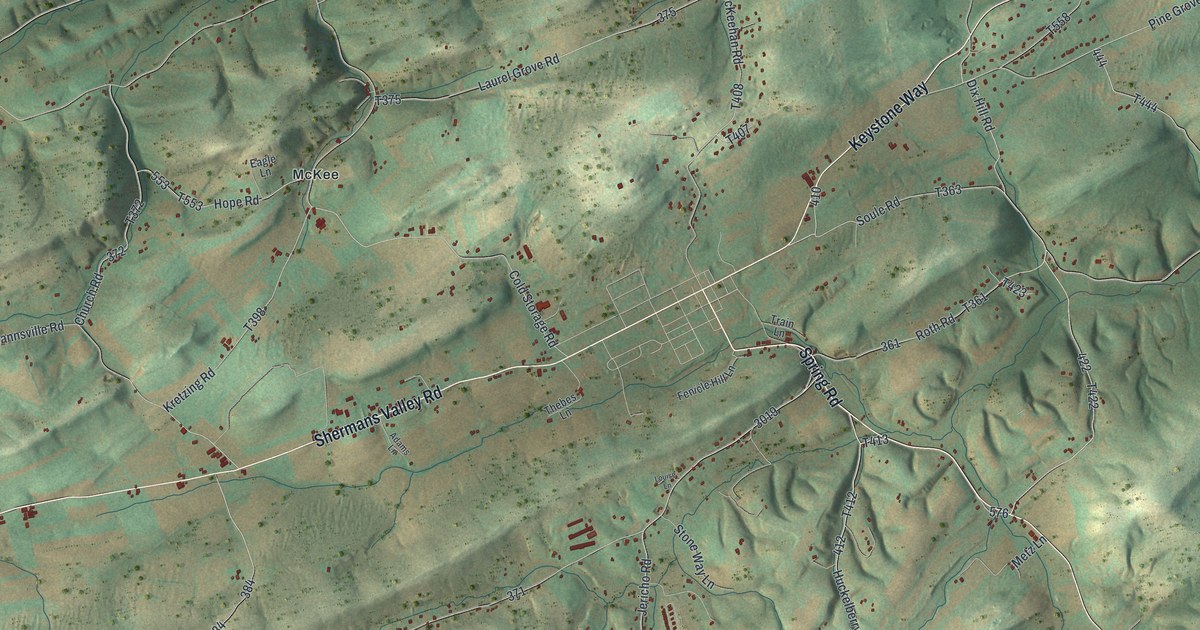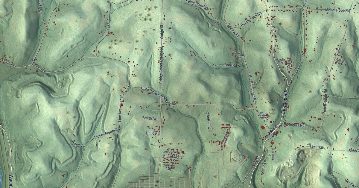
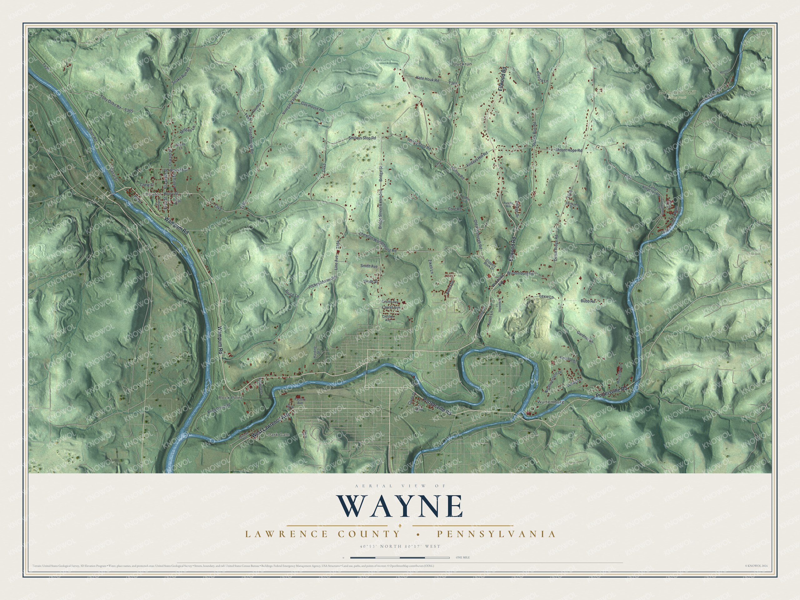
This beautifully detailed map of Wayne, Lawrence County, Pennsylvania was created in 2026 using aerial imagery combined with modern topographical, census, street and landmark data. It’s a one-of-a-kind view of Wayne that combines accurate data with a vintage aesthetic. The map shows every building in its true location, many of the roads carry their names, and the shaded topographic relief shows the shape of the land.
Explore an aerial view of Wayne, Lawrence County, Pennsylvania
On the map you’ll find Chewton, Park Gate, McConnells Mill State Park, Duckrun, Rock Point, and Wurtemburg, along with Wampum Road, Ellwood Road, Portersville Road, West Lawrence Avenue, Gas House Road, and more. If you look closely you can even find your house accurately drawn in its correct location. Zoom in on the preview to look for yours.
Did you know this about Wayne, Lawrence County, Pennsylvania?
From an 1870s atlas and history of Lawrence County, Pennsylvania: "The vein is called a three-feet vein, but has only about twenty-eight inches of coal on an average, the rest being more or less mixed with slate."
Take a closer look at the Wayne, Lawrence County map
Street and place names on the Wayne, Lawrence County, Pennsylvania map
These names are printed on the map of Wayne, Lawrence County, Pennsylvania.
Places: Chewton, Park Gate, McConnells Mill State Park, Duckrun, Rock Point and Wurtemburg.
Streets and roads: Wampum Road, Ellwood Road, Portersville Road, West Lawrence Avenue, Gas House Road, Oswald Street, Smileys Stop Road, Bridge Street Extended, Hollow Road, Line Avenue, Joffre Street, Fridays Hill Road.
More street names, A to Z
14th Street, Aetna Drive, Alice Street, Arch Street, Bridge Street, Bruce Lane, Bubb Road, Calvert Lane, Camp Allegheny Road, Canal Street, Chew Street, Chewton Wurtemburg Road, Clyde Street, Cole Road, Commanders Lane, Counselors Circle, Creston Avenue, Dunns Lane, Dutch Ridge Road, Eidenmiller Lane, Elizabeth Street, Eliza Street, Factory Avenue, Gardner Lane, Glenwood Drive, Goebel Lane, Greenhouse Road, Harding Street, Heinz Camp Road, Henry Street, Howard Street, Jockey Moore Road, Johns Lane, Kate Houk Road, Katherine Street, Kissick Lane, Kolch Lane, Laura Street, Laurel Avenue, Lexie Lane, Linden Avenue, Lundys Lane, Mill Street, Monastery Lane, Morgan Lane, Morning Star Drive, Mount Hope Road, Mountville Road, Northwestern Drive, Old Pittsburgh Road, Panella Way, Paradise Drive, Railroad Avenue, Rainbow Drive, River Road, Rock Point Road, Sims Street, Slippery Rock Drive, Smiley Stop Road, Smith Avenue, Smith Street, Snake Run Road, Tony Ditko Road, Twelfth Street, Village Drive, Vinegar Valley Road, Water Way, Woodside Avenue, Wurtemburg Road, Zikeli Lane.
See the Wayne, Lawrence County, Pennsylvania map on a wall
The Wayne, Lawrence County map as an 18 x 24 inch print in a black frame.

This beautifully detailed map of Wayne, Lawrence County makes an attractive addition to your office, library, or den, and it can even be used to teach children the geography and history of the area. It also makes a great gift for someone who left Wayne and still calls it home. When you’re done exploring, click here to get your copy of the Wayne, Lawrence County map.