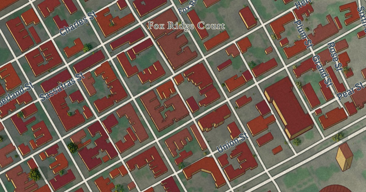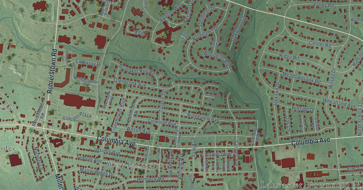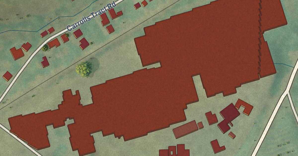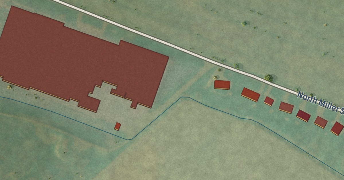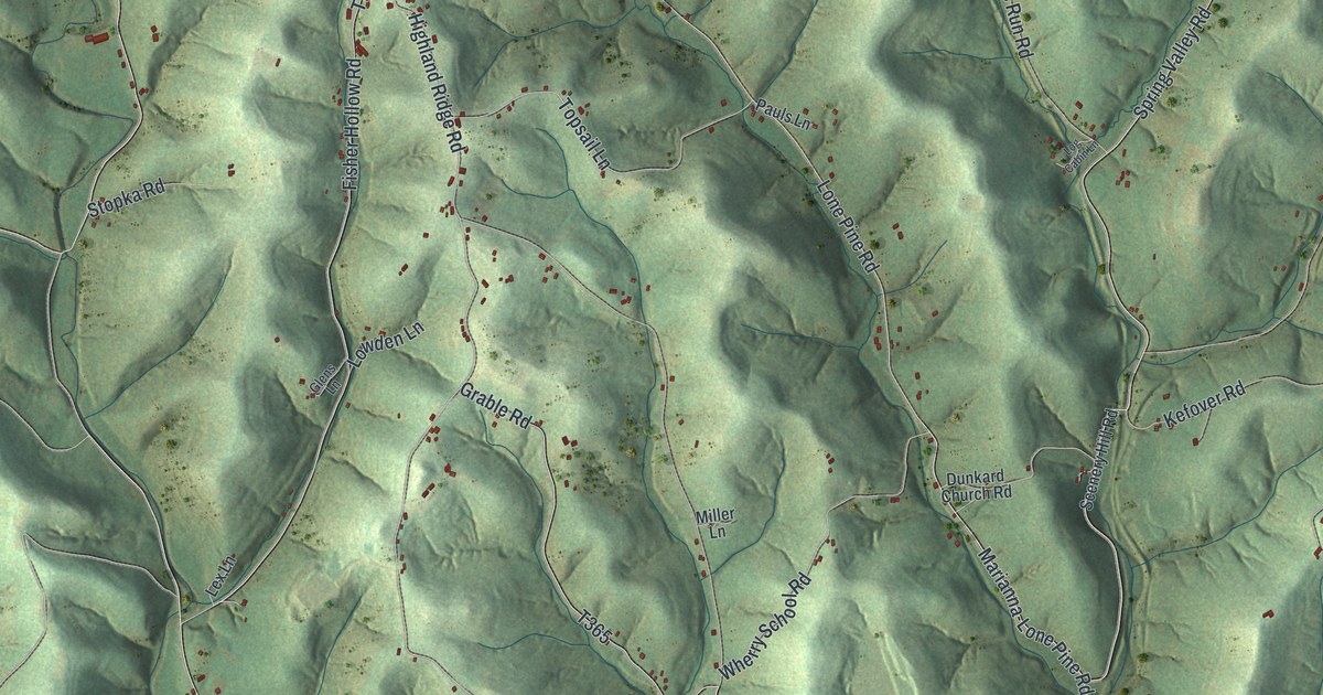
This beautifully detailed map of West Bethlehem, Pennsylvania was created in 2026 using aerial imagery combined with modern topographical, census, street and landmark data. It’s a one-of-a-kind view of West Bethlehem that combines accurate data with a vintage aesthetic. The map shows every building in its true location, many of the roads carry their names, and the shaded topographic relief shows the shape of the land.
Explore an aerial view of West Bethlehem, Pennsylvania
On the map you’ll find Bissell, Castile, East Marianna, Fairfield, Lone Pine, Old Zollarsville, and West Zollarsville, along with Dividing Ridge Road, Castile Ridge Road, Ten Mile Road, Lone Pine Road, and more. If you look closely you can even find your house accurately drawn in its correct location. Zoom in on the preview to look for yours.
Did you know this piece of West Bethlehem, Pennsylvania history?
From the History of Washington County: "Zollarsville, a little hamlet within the limits of West Bethlehem township, was founded by Jacob Zollar, and named for him. He was of German descent, and built the first house in the place."
Take a closer look at the West Bethlehem map
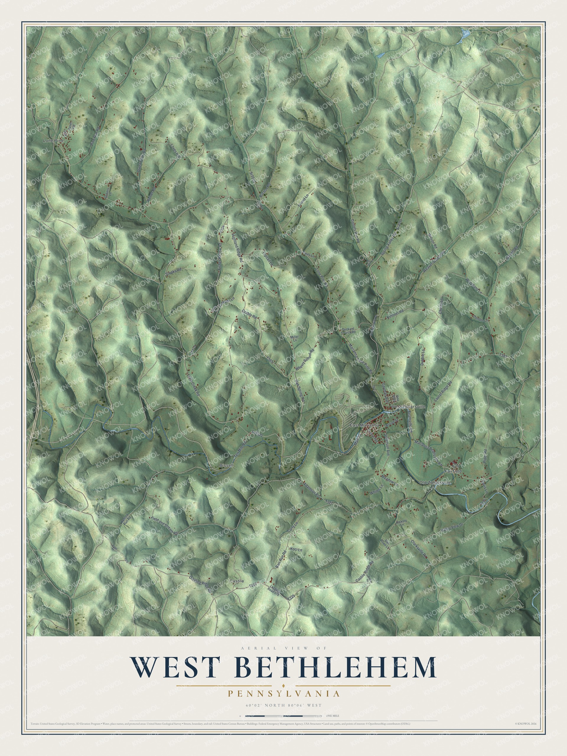
Street and place names on the West Bethlehem, Pennsylvania map
These names are printed on the map of West Bethlehem, Pennsylvania.
Places: Bissell, Castile, East Marianna, Fairfield, Lone Pine, Old Zollarsville and West Zollarsville.
Streets and roads: Dividing Ridge Road, Castile Ridge Road, Ten Mile Road, Lone Pine Road, Beallsville Road, Marianna Beallsville Road, Barr Run Road, Gayman Avenue, Sr2020, Little Creek Road, Spring Valley Road, Field and Stream Road.
More street names, A to Z
Adamson Road, Anderson Avenue, Bowser Road, Broad Street, Burson Road, Central Avenue, Cherry Lane, Clarksville Road, Curry Lane, Daniels Run Road, Dan Rowe Lane, Davis Lane, Dobbie Lane, Dunkard Church Road, Dutch Glory Road, Fisher Hollow Road, Friend Lane, Garrett Road, Glendon Lane, Glens Lane, Grable Road, Hainer Road, Hickory Lane, Highland Ridge Road, Hufford Run Road, Jefferson Avenue, Kefover Road, Knizner Lane, Koci Lane, Laurel Ridge Road, Lex Lane, Log Cabin Lane, Logging Road 078, Loves Hill, Lowden Lane, Main Street, Marianna-Lone Pine Road, Meadow Lane, Miller Lane, Oak Spring Road, Pauls Lane, Pine Run Road, Piper Road, Rasel Avenue, Ridge Road, Scenery Hill Road, Sowers Lane, Sr2013, Sr2051, Stopka Road, Topsail Lane, Valley View Drive, Vine Alley, Weaver School Road, Wherry School Road, Whites Lane, Wilson Road, Woodland Lane, Wyels Lane.
See the West Bethlehem, Pennsylvania map on a wall
The West Bethlehem map as an 18 x 24 inch print in a black frame.

This beautifully detailed map of West Bethlehem makes an attractive addition to your office, library, or den, and it can even be used to teach children the geography and history of the area. It also makes a great gift for anyone who grew up in West Bethlehem or moved away. When you’re done exploring, click here to get your copy of the West Bethlehem map.