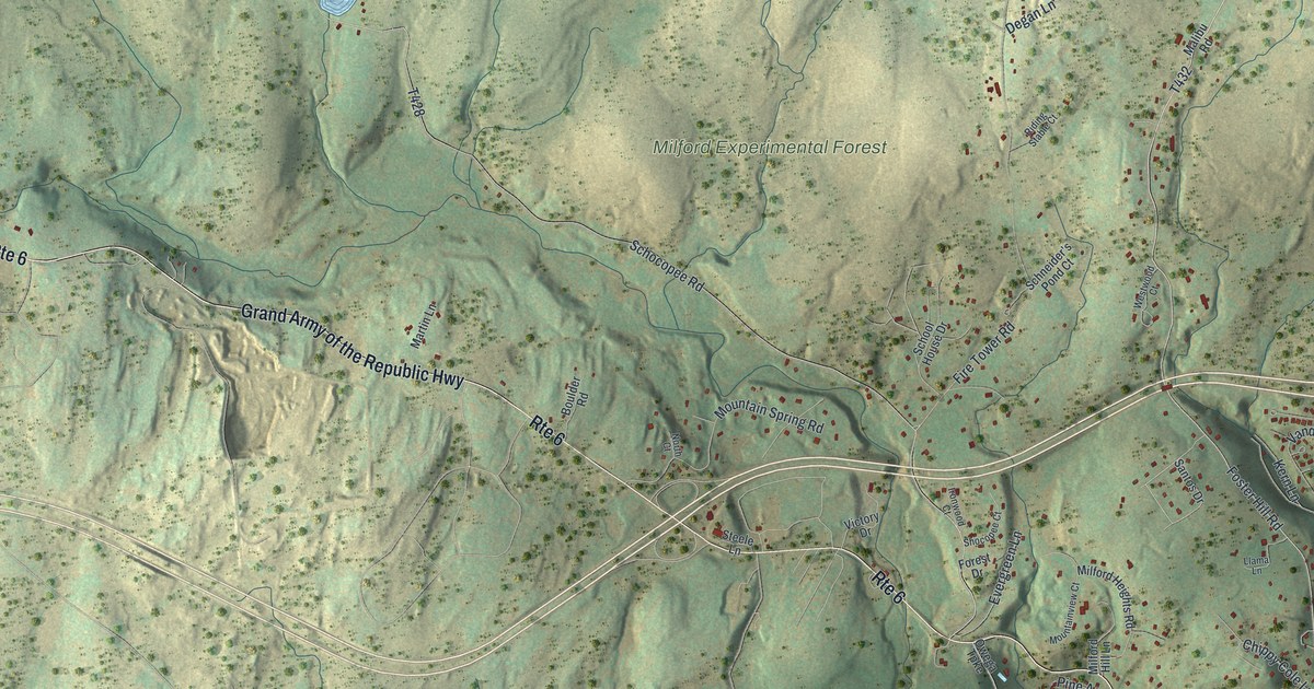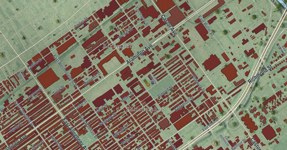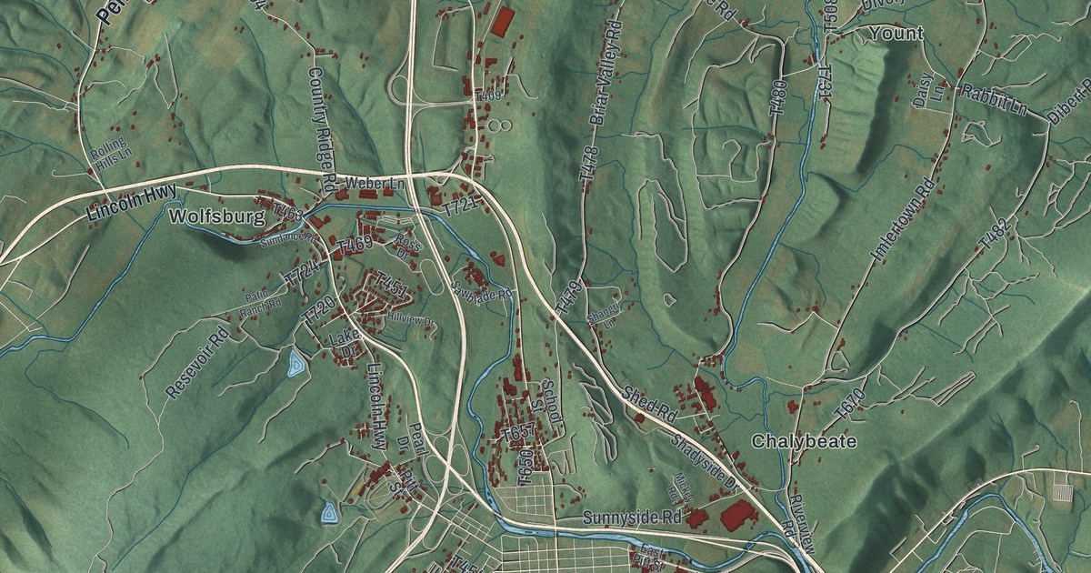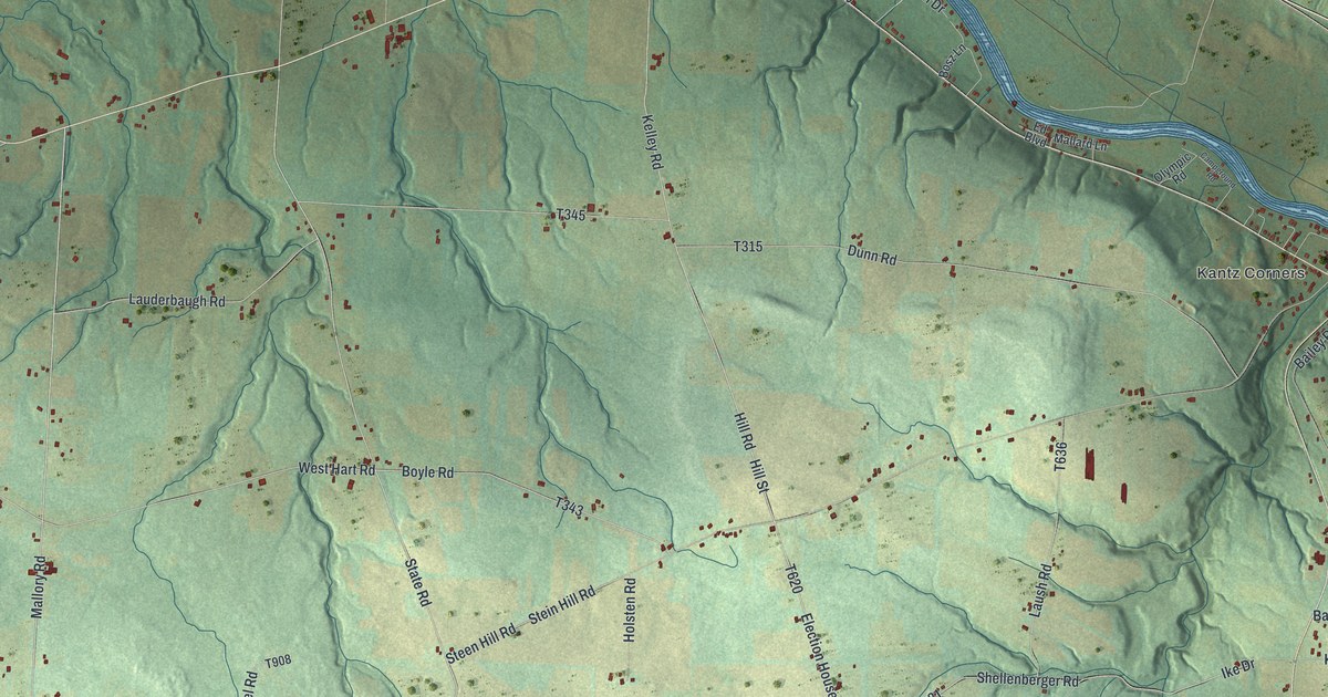
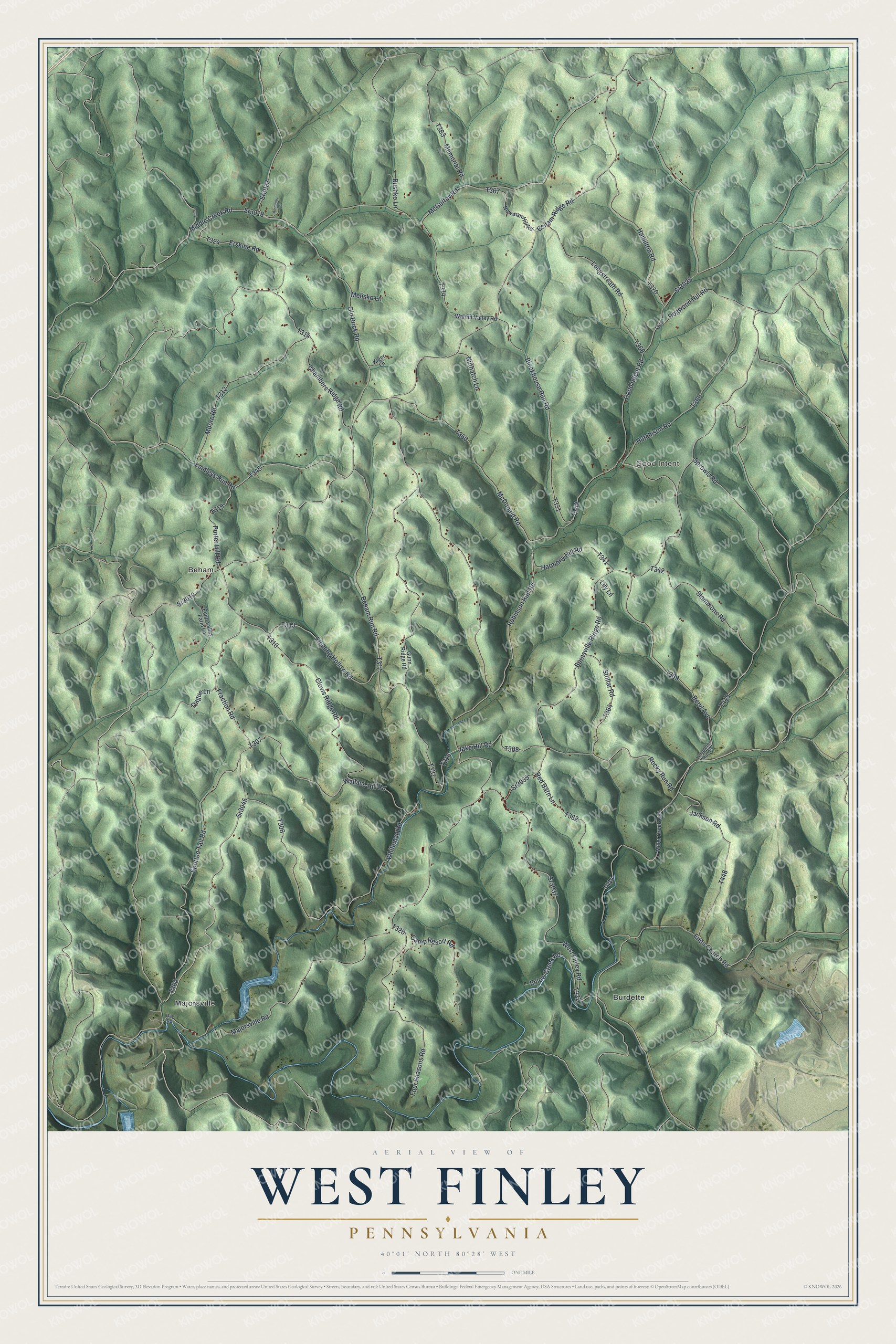
This beautifully detailed map of West Finley, Pennsylvania was created in 2026 using aerial imagery combined with modern topographical, census, street and landmark data. It’s a one-of-a-kind view of West Finley that combines accurate data with a vintage aesthetic. The map shows every building in its true location, many of the roads carry their names, and the shaded topographic relief shows the shape of the land.
Explore an aerial view of West Finley, Pennsylvania
On the map you’ll find Beham, Good Intent, Burdette, and Majorsville, along with Fraction Road, Good Intent Road, Middle Creek Road, Chambers Ridge Road, and more. If you look closely you can even find your house accurately drawn in its correct location. Zoom in on the preview to look for yours.
Did you know this piece of West Finley, Pennsylvania history?
West Finley Township pioneer Alexander Burns cleared a large piece of land on his tract, Burns’ Camp. He was then captured by Native Americans and held prisoner for several years. Meanwhile Philip Sommers found the clearing and took out a warrant for it. Burns came back, proved his prior right, and Sommers gave up the claim. That’s from the 1882 History of Washington County, Pennsylvania.
Take a closer look at the West Finley map
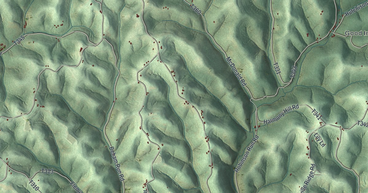
Street and place names on the West Finley, Pennsylvania map
These names are printed on the map of West Finley, Pennsylvania.
Places: Beham, Good Intent, Burdette and Majorsville.
Streets and roads: Fraction Road, Sr3019, Sr3045, Good Intent Road, Middle Creek Road, Sr3018, Chambers Ridge Road, Rocky Run Road, Sr3023, Whiteman Road, Old Brick Road, Laidleys Run Road.
More street names, A to Z
Ammons Lane, Beham Ridge Road, Beham Run Road, Beryl Avenue, Blockhouse Run Road, Burnsville Ridge Road, Bushko Lane, Camp Resort Road, Clovis Ridge Road, Dague Lane, Day Road, Dogwood Hill Road, Echo Valley Farm Lane, Enlow Creek Road, Enon Church Road, Erskine Road, Fleming Hollow Road, Four Seasons Road, Gunn Ridge Road, Hamilton Road, Harmony Hill Road, Hutchison Road, Jackson Road, Jake Hill Road, Kiger Lane, Lily Lane, Longstreath Road, Majorsville Road, McDonald Road, McGuffey Road, Melisko Lane, Memorial Road, Miller Creek Road, Moore Road, Newman Hill Road, Nuthatch Lane, Porter Hill Road, Red Barn Lane, Robinson Run Road, Slemmons Road, Spotted Tail Road, Sprowls Road, Sr3025, Sr3035, Sr3037, Stollar Road, Templeton Run Road, Wallace Hill Road, Walnut Valley Road, West Finley Road.
See the West Finley, Pennsylvania map on a wall
The West Finley map as an 18 x 24 inch print in a black frame.

This beautifully detailed map of West Finley makes an attractive addition to your office, library, or den, and it can even be used to teach children the geography and history of the area. It also makes a great gift for anyone who grew up in West Finley or moved away. When you’re done exploring, click here to get your copy of the West Finley map.