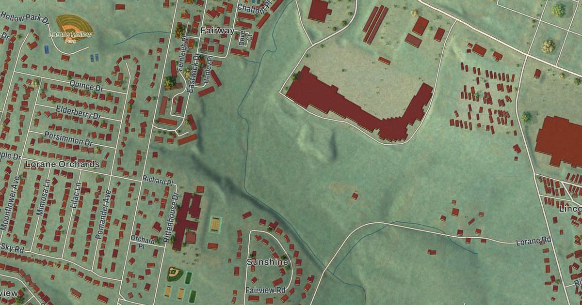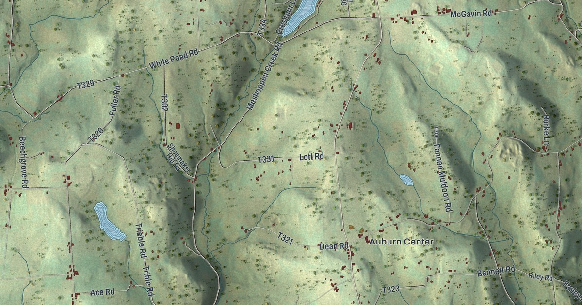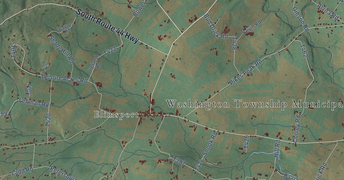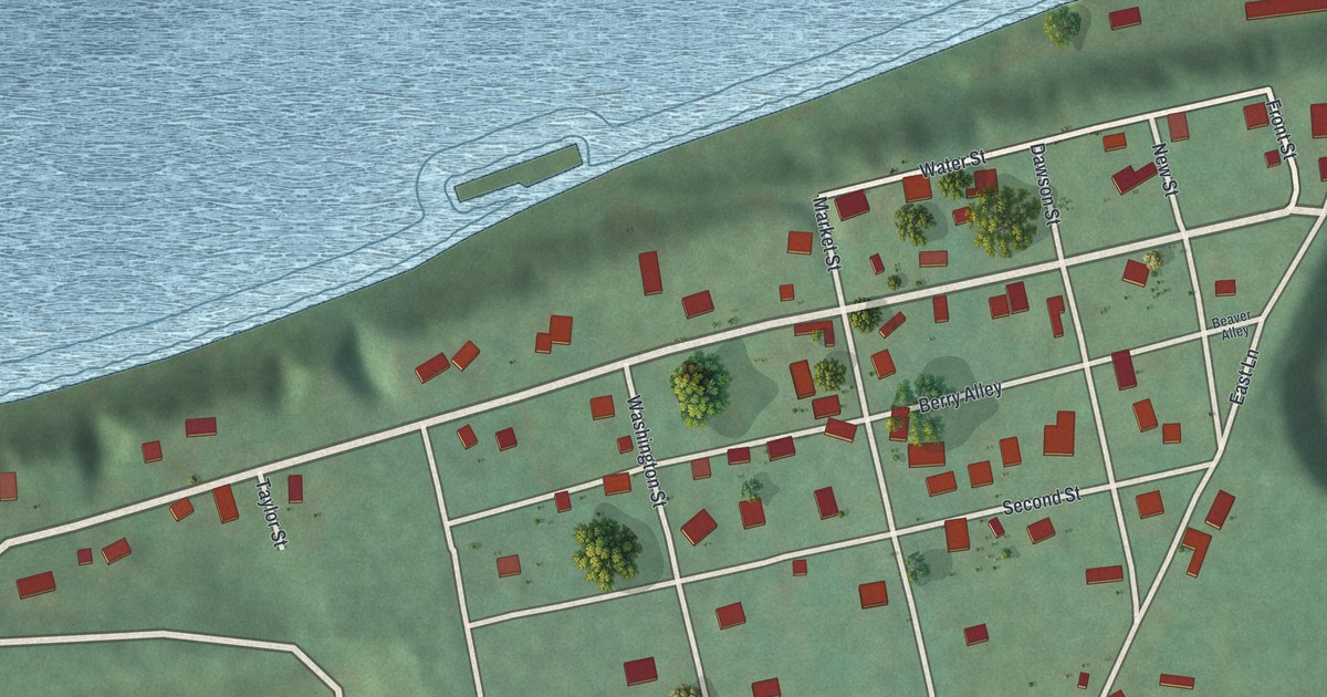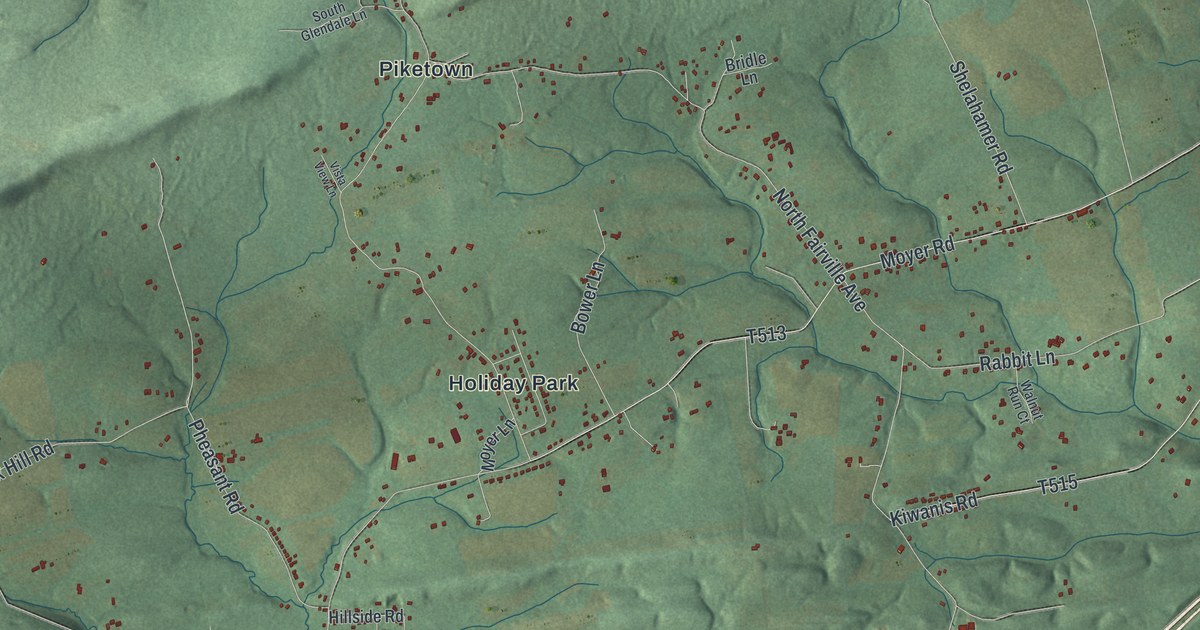
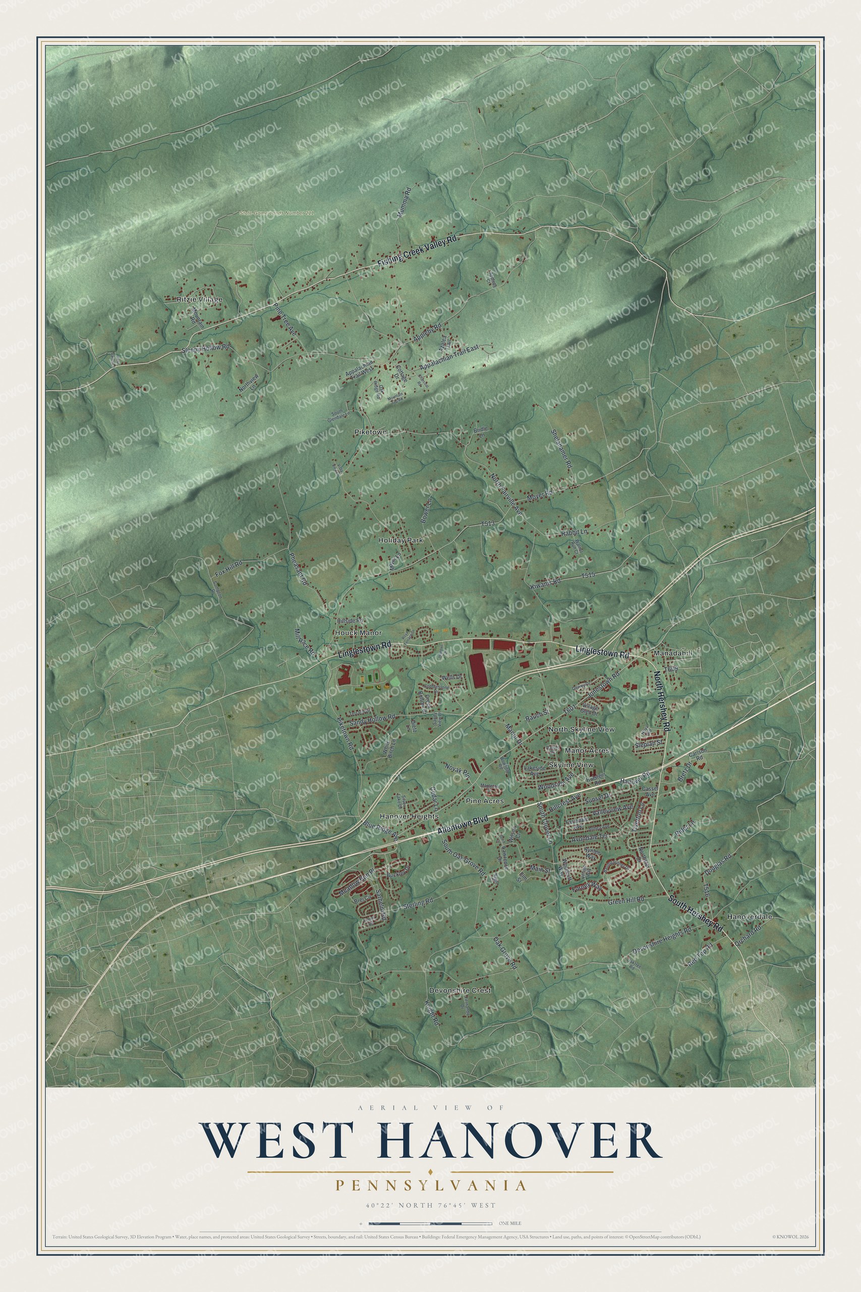
This beautifully detailed map of West Hanover, Pennsylvania was created in 2026 using aerial imagery combined with modern topographical, census, street and landmark data. It’s a one-of-a-kind view of West Hanover that combines accurate data with a vintage aesthetic. The map shows every building in its true location, many of the roads carry their names, and the shaded topographic relief shows the shape of the land.
Explore an aerial view of West Hanover, Pennsylvania
On the map you’ll find State Game Lands Number 211, Devonshire Crest, Hanover Heights, Hanoverdale, Holiday Park, Houck Manor, Manadahill, Manor Acres, North Skyline View, Piketown, Pine Acres, Ritzie Village, and more. If you look closely you can even find your house accurately drawn in its correct location. Zoom in on the preview to look for yours.
Did you know this piece of West Hanover, Pennsylvania history?
From Data.pa.gov: "Hershey's companies developed housing, recreation, education, and cultural facilities, financial institutions, public utilities, a transit system, and the world's largest chocolate factory that opened in June, 1905."
Take a closer look at the West Hanover map
Street and place names on the West Hanover, Pennsylvania map
These names are printed on the map of West Hanover, Pennsylvania.
Places: State Game Lands Number 211, Devonshire Crest, Hanover Heights, Hanoverdale, Holiday Park, Houck Manor, Manadahill, Manor Acres, North Skyline View, Piketown, Pine Acres, Ritzie Village and Skyline View.
Streets and roads: Linglestown Road, South Hershey Road, North Hershey Road, Allentown Boulevard, Fishing Creek Valley Road, Piketown Road, Jonestown Road, Blue Ridge Avenue, Forney Way, Knight Road, North Fairville Avenue, Devonshire Heights Road.
More street names, A to Z
Althea Avenue, Appalachian Trail East, Appalachian Trail West, Appleby Court, Appleby Road, Avondale Terrace, Aynlee Way, Azalea Trail, Baumgardner Drive, Bower Lane, Bowling Road, Brei Circle, Bretz Drive, Bridle Lane, Buckley Drive, Carlson Road, Cassel Avenue, Cedar Lane, Charcoal Road, Cobblestone Drive, Compton Drive, Cottage Drive, Creek Bottom Drive, Daniel Drive, Dewey Drive, Dietz Lane, Doris Court, Douglas Road, Elm Street, Farmdale Avenue, Fernando Drive, Fox Hill Road, Green Hill Road, Hanover Road, Hillcrest Avenue, Hillside Road, Holstein Road, Hoya Avenue, Jeaneve Drive, Kiwanis Road, Lakeside Avenue, Lawrence Drive, Main Street, Manor Drive, Mapleton Drive, Meadow Run Place, Mill Race Road, Mountain Road, Mountain Top Road, Moyer Lane, Moyer Road, Mumma Road, Nagle Court, Northstar Drive, Northview Lane, Novak Pln, Oak Grove Road, Oak Ridge Road, Oaktree Road, Orchard Road, Pheasant Road, Pine Tree Avenue, Rabbit Lane, Rauch Street, Red Top Road, Regent Road, Rider Lane, Royal Terrace Drive, Sandy Hollow Road, Sandy View Lane, Sarhelm Road, Shelahamer Road, Silver Lake Drive, Sleepy Hollow Road, Slepian Street, South Clover Lane, South Glendale Lane, South Oak Grove Road, Sterling Road, Sunset Drive, Terrann Drive, Tiverton Lane, Valleyview Avenue, Village Glen Drive, Village Way, Vista View Lane, Walnut Run Court, Wells Drive, West Valley Lane, White Birch Lane, Wilson Court, Woodruff Way, Woodside Avenue.
See the West Hanover, Pennsylvania map on a wall
The West Hanover map as an 18 x 24 inch print in a black frame.

This beautifully detailed map of West Hanover makes an attractive addition to your office, library, or den, and it can even be used to teach children the geography and history of the area. It also makes a great gift for someone who left West Hanover and still calls it home. When you’re done exploring, click here to get your copy of the West Hanover map.