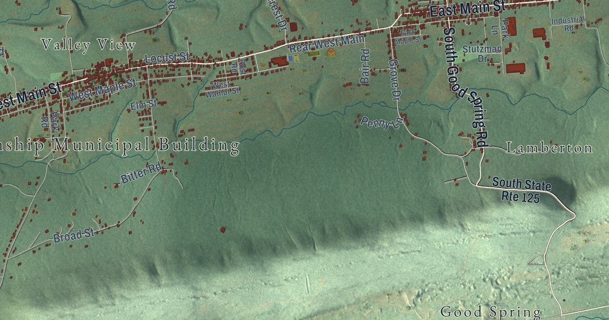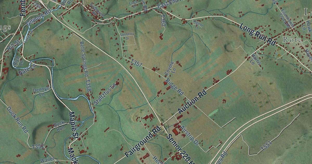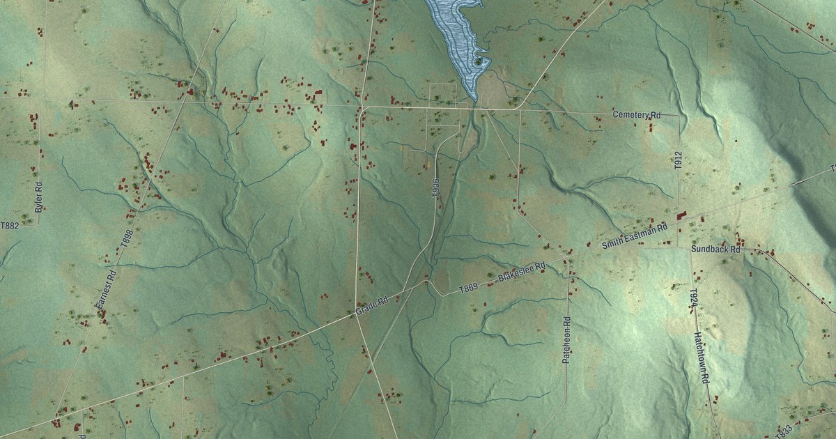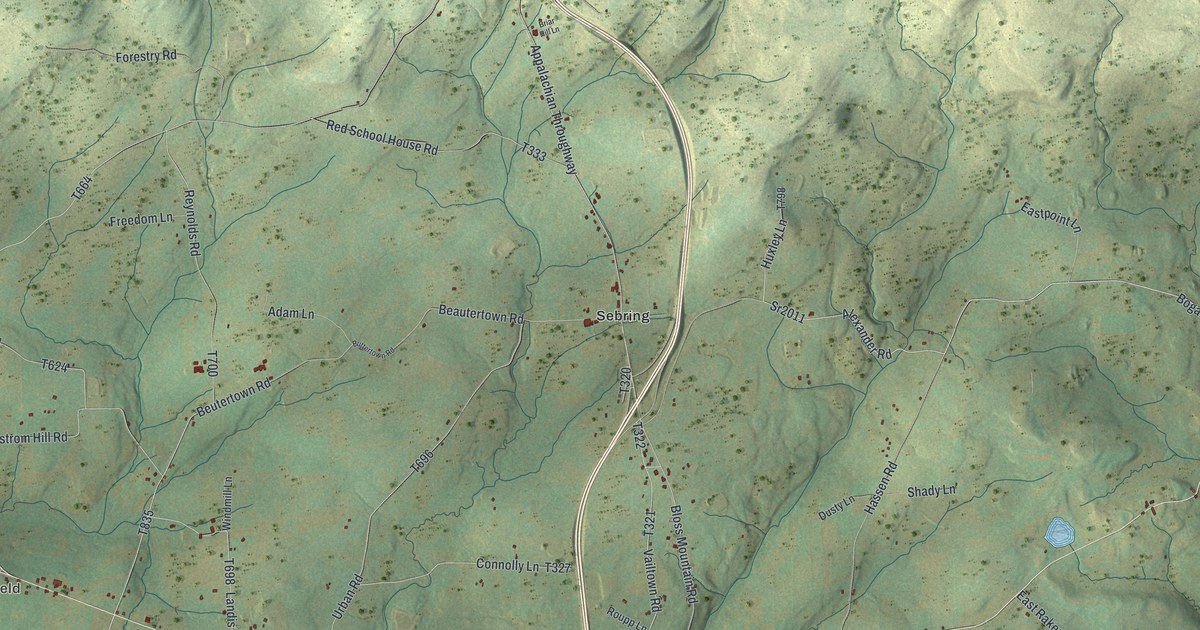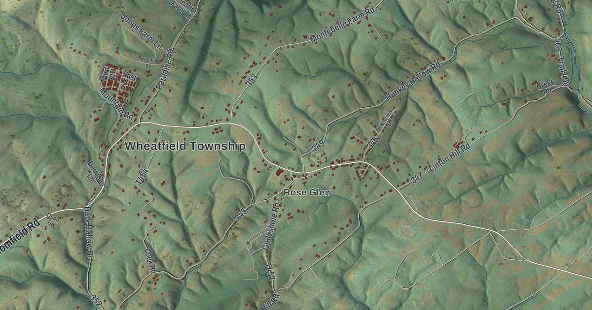
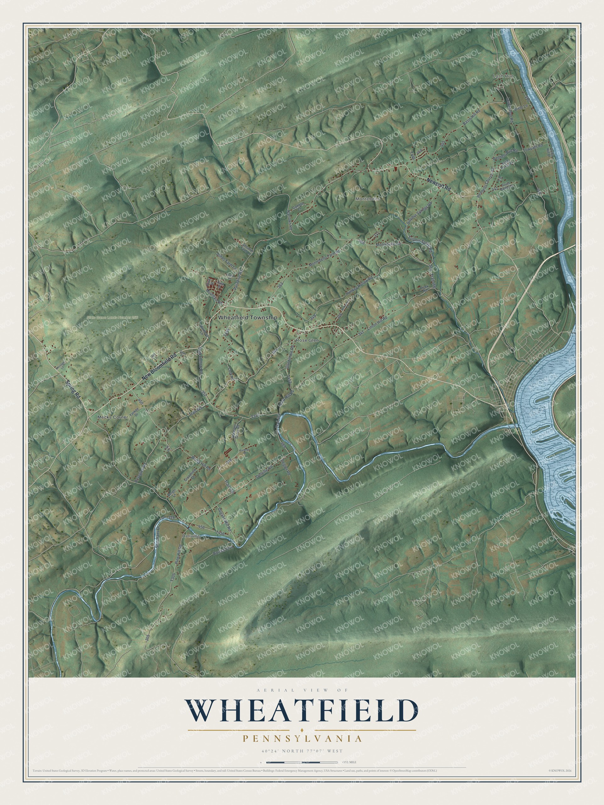
This beautifully detailed map of Wheatfield, Pennsylvania was created in 2026 using aerial imagery combined with modern topographical, census, street and landmark data. It’s a one-of-a-kind view of Wheatfield that combines accurate data with a vintage aesthetic. The map shows every building in its true location, many of the roads carry their names, and the shaded topographic relief shows the shape of the land.
Explore an aerial view of Wheatfield, Pennsylvania
On the map you’ll find Wheatfield Township, Losh Run, Montebello, Dellville, State Game Lands Number 256, Mecks Corner, and Rose Glen, along with New Bloomfield Road, Newport Road, Spring Road, Glutz Hill Road, and more. If you look closely you can even find your house accurately drawn in its correct location. Zoom in on the preview to look for yours.
Did you know this piece of Wheatfield, Pennsylvania history?
Wheatfield Township in Perry County was home to two Revolutionary leaders. Gen. Frederick Watts warranted 331 acres along the Juniata River in 1762. He later served on the committee that governed Pennsylvania between Independence and the Union. Gen. Henry Miller, a Revolutionary hero, settled here in 1813 and became prothonotary of Perry County at its first election in 1821. That’s from the 1922 History of Perry County, Pennsylvania.
Take a closer look at the Wheatfield map
Street and place names on the Wheatfield, Pennsylvania map
These names are printed on the map of Wheatfield, Pennsylvania.
Places: Wheatfield Township, Losh Run, Montebello, Dellville, State Game Lands Number 256, Mecks Corner and Rose Glen.
Streets and roads: New Bloomfield Road, Newport Road, Spring Road, Glutz Hill Road, Roseglen Road, Trail 345, Trail 466, Montebello Road, Trail 450, Windy Hill Road, Glutzshole Road, Sulphur Spring Road.
More street names, A to Z
Barrick Boulevard, Basin Hill Road, Berger Lane, Bornman Lane, Bretz Lane, Cook Road, Creek Road, Dark Hollow Road, Dellville Road, Dirt Lane, Dugans Mill Road, Dunn Drive, East Street, Gamble Lane, Gardener Road, Grandview Drive, Heritage Lane, Hunkey Hollow Road, Johns Farm Lane, Linton Hill Road, Loshes Run Road, McNaughton Drive, Milo Circle, Montebello Farm Road, Mountain Road, Narrows Road, North Barley Drive, Orcha Hill Drive, Paradise Road, Pennells Church Road, Pennels Rud Road, Pine Hill Road, Pleasant Grove Road, Sheaffer Farm Lane, Shermans Drive, South Barley Drive, Sulphur Springs Road, Third Street, Towpath Road, Trail 451, Trail 464, Weldon Road, Yankee Drive, Zeigler Road.
See the Wheatfield, Pennsylvania map on a wall
The Wheatfield map as an 18 x 24 inch print in a black frame.

This beautifully detailed map of Wheatfield makes an attractive addition to your office, library, or den, and it can even be used to teach children the geography and history of the area. It also makes a great gift for anyone who grew up in Wheatfield or moved away. When you’re done exploring, click here to get your copy of the Wheatfield map.