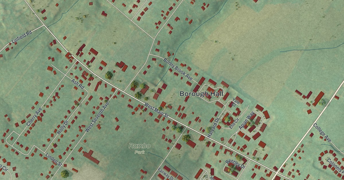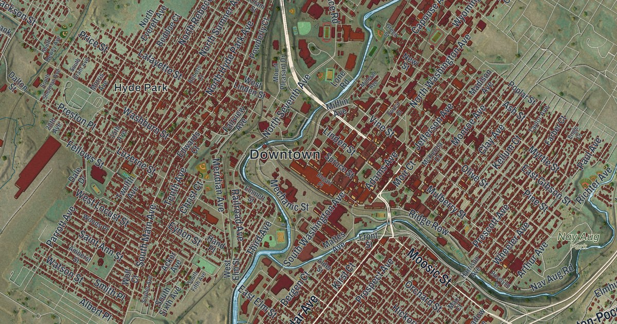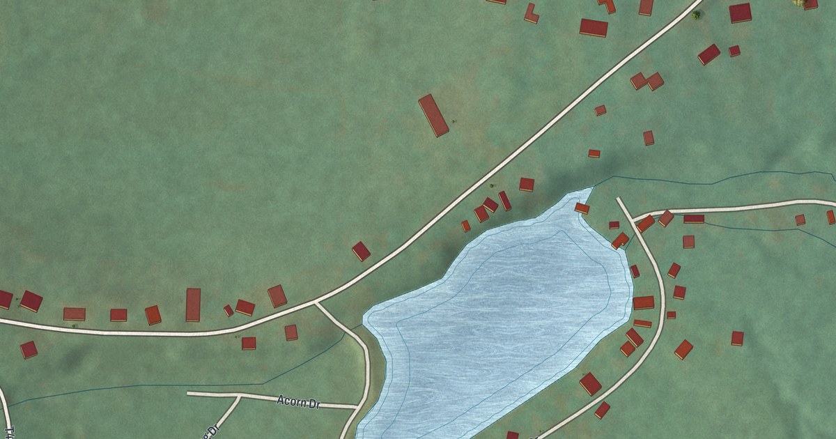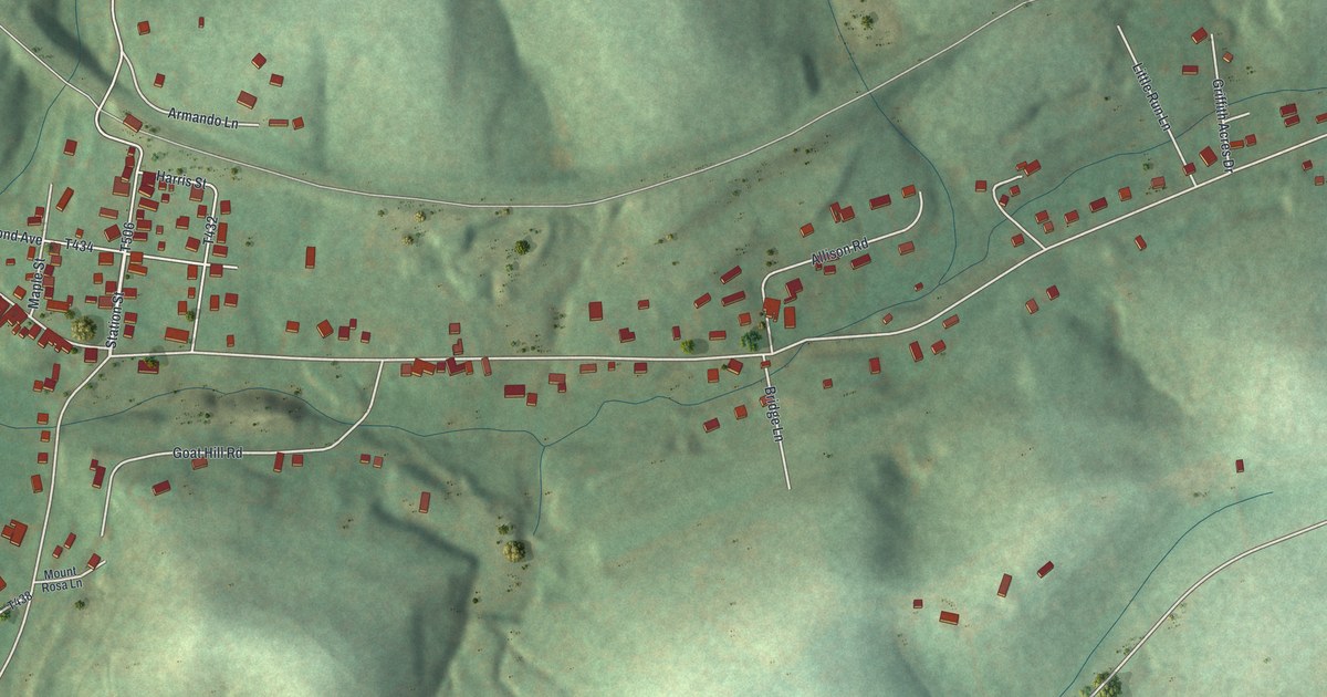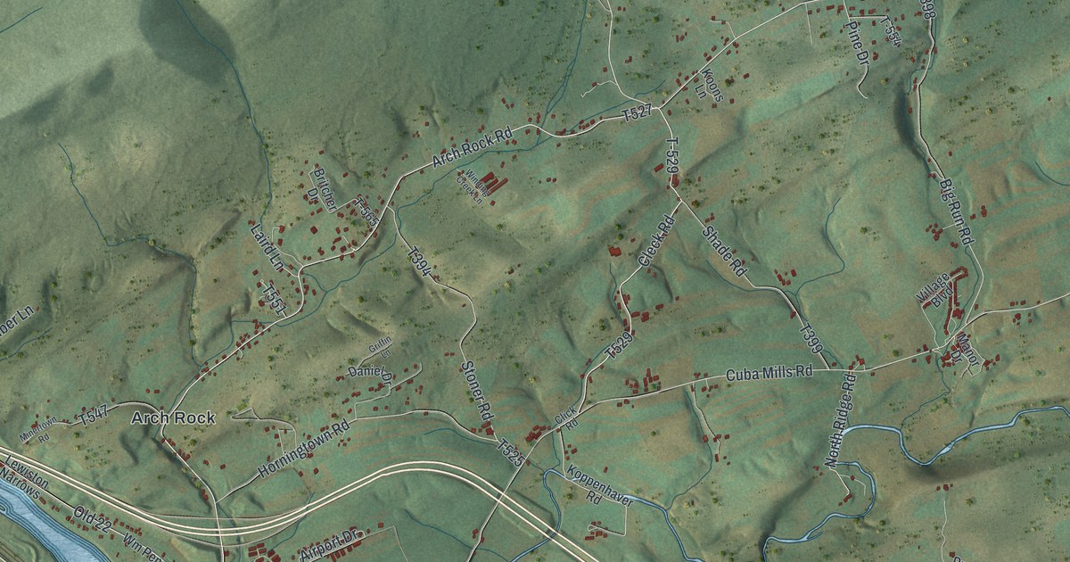
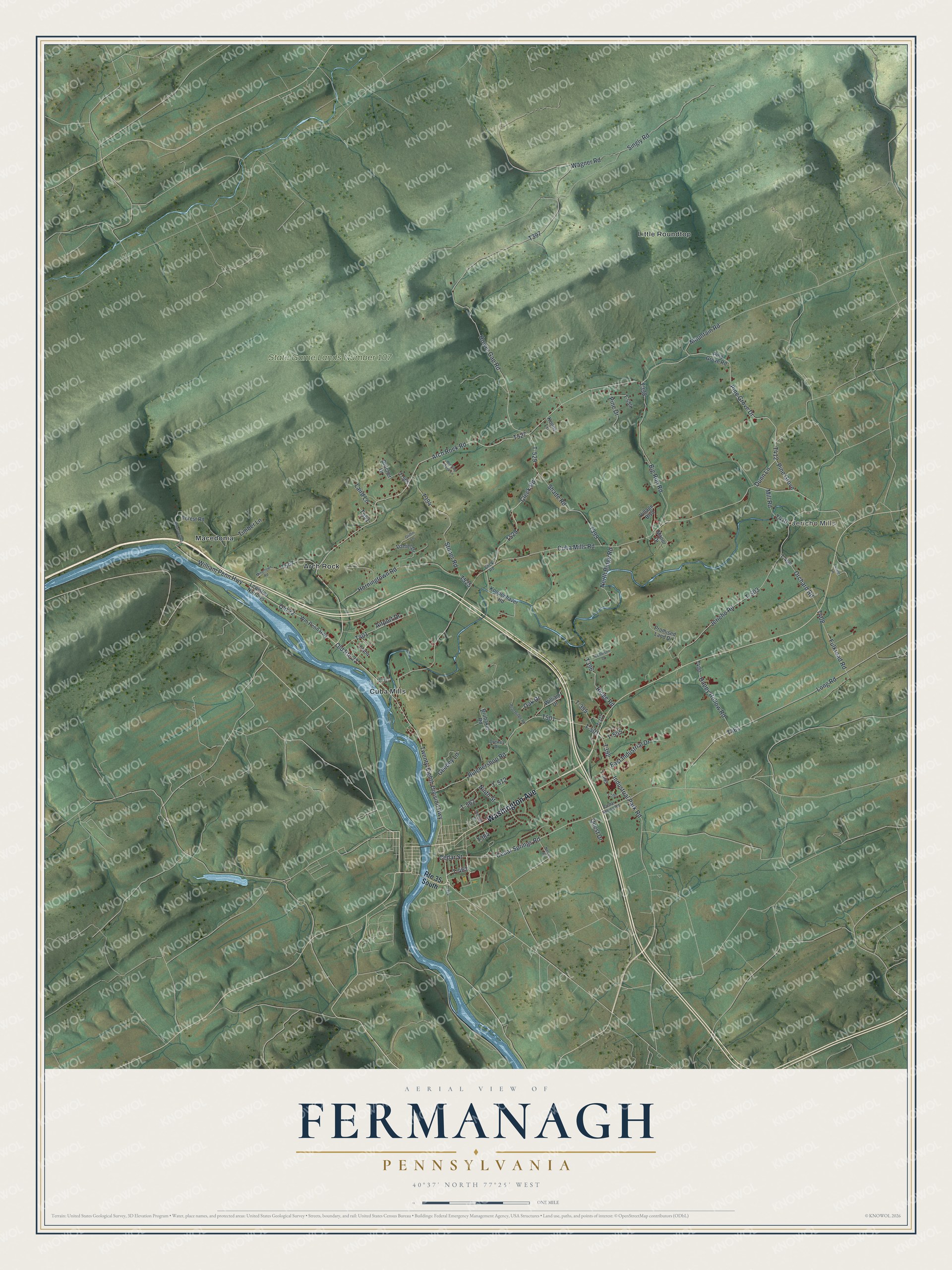
This beautifully detailed map of Fermanagh, Pennsylvania was created in 2026 using aerial imagery combined with modern topographical, census, street and landmark data. It’s a one-of-a-kind view of Fermanagh that combines accurate data with a vintage aesthetic. The map shows every building in its true location, many of the roads carry their names, and the shaded topographic relief shows the shape of the land.
Explore an aerial view of Fermanagh, Pennsylvania
On the map you’ll find Jericho Mills, State Game Lands Number 107, Arch Rock, Cuba Mills, Little Roundtop, Macedonia, and T-462, along with Washington Avenue, Arch Rock Road, Cleck Road, and more. If you look closely you can even find your house accurately drawn in its correct location. Zoom in on the preview to look for yours.
Did you know this piece of Fermanagh, Pennsylvania history?
From the 1886 History of that part of the Susquehanna and Juniata valleys, embraced in the counties of Mifflin, Juniata, Perry, Union and Snyder, in the commonwealth of Pennsylvania …: "An assessment roll of Fermanagh township gives Enoch Anderson a grist-mill in 1786; Joseph, a saw-mill and fulling-mill from 1787, and 1792 to 1793; John, a saw-mill from 1817."
Take a closer look at the Fermanagh map
Street and place names on the Fermanagh, Pennsylvania map
These names are printed on the map of Fermanagh, Pennsylvania.
Places: Jericho Mills, State Game Lands Number 107, Arch Rock, Cuba Mills, Little Roundtop and Macedonia.
Streets and roads: Washington Avenue, Arch Rock Road, Old Route 22, Cleck Road, T-462, T-529, William Penn Highway, Dunn Lane, Hower Gap Road, Cedar Street, Cuba Mills Road, Old 22.
More street names, A to Z
Airport Drive, Big Run Road, Britcher Drive, Brubaker Road, Butchershop Road, Cedar Spring Road, Cedar Springs Road, Click Road, Daniel Drive, Drewes Drive, East Industrial Drive, Forest Road, Fulkroad Road, Geedey Lane, Griffin Lane, Happy Hollow Road, Horningtown Road, Industrial Park Road, Jericho Road, Koons Lane, Koppenhaver Road, Laird Lane, Lauver Lane, Lewiston Narrows, Long Road, Manor Drive, Mill Road, Minertown Road, Mountain Road, Nelson Road, Nicholson Drive, Ninth Street, North Ridge Road, Oak Drive, Orchard Road, Peachridge Road, Pine Drive, Pine Grove, Pine Grove Drive, Pine Grove Road, Promised Land Drive, Quest Drive, Reservoir Road, Ridge Road, Route 35 South, Seventh Street, Shade Road, Singly Road, Stoner Road, T-377, T-384, T-393, T-395, T-404, T-409, T-501, T-503, T-511, T-512, T-550, T-554, T-555, T-562, T-565, Timber Lane, Twenty-Eighth Division Highway, Village Boulevard, Wagner Road, William Drive, Winding Creek Lane, Wm Penn Highway.
See the Fermanagh, Pennsylvania map on a wall
The Fermanagh map as an 18 x 24 inch print in a black frame.

This beautifully detailed map of Fermanagh makes an attractive addition to your office, library, or den, and it can even be used to teach children the geography and history of the area. It also makes a great gift for anyone who grew up in Fermanagh or moved away. When you’re done exploring, click here to get your copy of the Fermanagh map.